Lane End

Settlement in Surrey Waverley

England

Lane End

Gong Hill north of Millbridge At the entrance to Edgeborough School
Gong Hill north of Millbridge Credit: David Howard

Lane End is a small village located in the county of Surrey, England. Situated approximately 30 miles southwest of London, it lies within the borough of Waverley. The village is surrounded by picturesque countryside, offering residents and visitors a peaceful and scenic environment.

Lane End is characterized by its charming and historic architecture, with many buildings dating back to the 17th and 18th centuries. The village center features a mix of traditional cottages and larger, more modern houses, creating a diverse and attractive streetscape.

Despite its small size, Lane End offers a range of amenities and services to its residents. These include a local pub, a village hall, and a primary school. Additionally, the village is well-connected to neighboring towns and cities, with good transportation links and access to major roads.

The natural beauty of the surrounding area makes Lane End a popular destination for outdoor enthusiasts. The village is located near the Surrey Hills Area of Outstanding Natural Beauty, offering opportunities for hiking, cycling, and horse riding. The nearby River Wey also provides opportunities for boating and fishing.

Lane End benefits from a strong sense of community, with various social and recreational activities organized throughout the year. These include village fairs, sports events, and cultural celebrations, providing residents with opportunities to come together and enjoy the village's friendly and welcoming atmosphere.

Overall, Lane End is a charming and idyllic village, combining historical charm with natural beauty, making it an appealing place to live or visit.

If you have any feedback on the listing, please let us know in the comments section below.
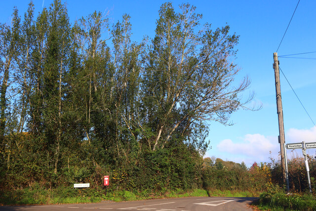
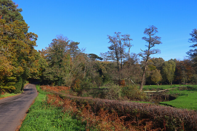
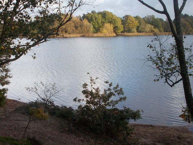
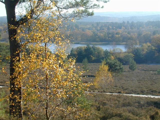
Lane End Images

Images are sourced within 2km of 51.167136/-0.78953443 or Grid Reference SU8441. Thanks to Geograph Open Source API. All images are credited.

Gong Hill north of Millbridge At the entrance to Edgeborough School
Gong Hill north of Millbridge
At the entrance to Edgeborough School
Gong Hill north of Millbridge
Frensham Road, Millbridge
View towards Gong Hill, Millbridge
A287 Frensham Main road through Frensham.
A287 Frensham
Main road through Frensham.
Kennel Lane Road junction near Millbridge.
Kennel Lane
Road junction near Millbridge.
Shortfield Common Road River running alongside the road.
Shortfield Common Road
River running alongside the road.
Frensham Great Pond - looking north east
Frensham Great Pond from the west
Sailing boats on Frensham Great Pond
Frensham Common in sunshine
Pools of water on Frensham Common
Path down to Frensham Little Pond
Frensham Little Pond The pond looking autumnal with sunshine highlighting trees on the far shore.
Frensham Little Pond
The pond looking autumnal with sunshine highlighting trees on the far shore.
Frensham Common Along the A287, the war memorial is across the road
Frensham Common
Along the A287, the war memorial is across the road
Pierrepont Home Farm Ford This ford is found along the south branch of the River Wey close to Pierrepont Home Farm. The two Frensham Common fords are close by.
Pierrepont Home Farm Ford
This ford is found along the south branch of the River Wey close to Pierrepont Home Farm. The two Frensham Common fords are close by.
Ford on Sandy Lane
Ford on Sandy Lane
Frensham Great Pond Looking south-east from the western shore.
Frensham Great Pond
Looking south-east from the western shore.
Show me another place!

Lane End is located at Grid Ref: SU8441 (Lat: 51.167136, Lng: -0.78953443)

Administrative County: Surrey

District: Waverley

Police Authority: Surrey

What 3 Words

///family.fixtures.ambushed. Near Churt, Surrey

Related Wikis

Frensham Common

Frensham Common is a large Site of Special Scientific Interest (SSSI) heathland of 373 hectares (922 acres) which includes two lakes; it is owned and...

Frensham

Frensham is a village in Surrey, England, next to the A287 road, 13 miles (20.9 km) WSW of Guildford, the county town. Frensham lies on the right bank...

Pierrepont School, Frensham

Pierrepont School, Frensham, originally known as Pierrepont House School, was a private school in Surrey, England, with day pupils as well as boarders...

Gong Hill

Gong Hill is a 5.9-hectare (15-acre) biological Site of Special Scientific Interest south of Farnham in Surrey.This heathland site is dominated by ling...

Nearby Amenities

Located within 500m of 51.167136,-0.78953443
Bus Stop
St Marys School
Naptan AtcoCode: 40004411326A
Naptan Bearing: N
Naptan CommonName: St Marys School
Naptan Indicator: Just after
Naptan Landmark: School
Naptan NaptanCode: surdwmdm
Naptan Street: Churt Road
Naptan Verified: no
Source: naptan_import
Lat/Long: 51.1664857/-0.788595
Bus Stop
The Mariners
Naptan AtcoCode: 40004411327B
Naptan Bearing: S
Naptan CommonName: The Mariners
Naptan Indicator: Opp
Naptan Landmark: Pierrepont School
Naptan NaptanCode: surdwmdt
Naptan Street: Churt Road
Naptan Verified: no
Source: naptan_import
Lat/Long: 51.1713352/-0.7870947
Bus Stop
St Marys School
Naptan AtcoCode: 40004411447A
Naptan Bearing: S
Naptan CommonName: St Marys School
Naptan Indicator: Opp
Naptan Landmark: School
Naptan NaptanCode: surgjmtj
Naptan Street: Frensham Road
Naptan Verified: no
Source: naptan_import
Lat/Long: 51.1665642/-0.7883641
Frensham
Place: village
Lat/Long: 51.1654982/-0.7951234
Bench
Fixme: check
Lat/Long: 51.1662661/-0.7887613
Give Way
Source: Bing
Lat/Long: 51.1702335/-0.786842
Oaklands Farm
Landuse: farm
Note Retag: CS #48756035
Source: OS_OpenData_StreetView
Lat/Long: 51.1679087/-0.7864225
Historic: memorial
Memorial: war_memorial
Lat/Long: 51.1668245/-0.7881161
Post Box
Post Box Type: wall
Ref: GU10 47
Royal Cypher: VR
Royal Cypher Wikidata: Q33102356
Lat/Long: 51.1702094/-0.7866848
Barrier: kissing_gate
Lat/Long: 51.1713212/-0.7904916
Post Box
Operator: Royal Mail
Post Box Type: wall
Ref: GU10 25
Royal Cypher: GR
Royal Cypher Wikidata: Q33102273
Lat/Long: 51.1658719/-0.7961574
Crossing
Crossing: unmarked
Crossing Markings: no
Lat/Long: 51.1661267/-0.7887428
Marker: post
Utility: oil
Lat/Long: 51.1675187/-0.7874286
Industrial: substation
Pipeline: substation
Substance: gas
Lat/Long: 51.1674763/-0.7882054
Defibrillator
Defibrillator Location: Outside wall facing the Green
Emergency: defibrillator
Indoor: no
Lat/Long: 51.1664936/-0.7888689
Give Way
Lat/Long: 51.1663754/-0.7886288
The data included in this document is from www.openstreetmap.org. The data is made available under ODbL.

Have you been to Lane End?

Leave your review of Lane End below (or comments, questions and feedback).