Hammonds Wood
Wood, Forest in Surrey Waverley
England
Hammonds Wood

Hammonds Wood is a picturesque woodland located in Surrey, England. Nestled within the larger Surrey Hills Area of Outstanding Natural Beauty, it covers an area of approximately 500 acres. The wood is part of a larger forested area known as the Surrey Forest and is surrounded by a diverse range of flora and fauna.
The woodland is predominantly composed of broadleaf trees, including oak, beech, and birch, creating a rich and vibrant canopy. These trees provide ample shade and shelter for numerous wildlife species that call Hammonds Wood their home. Visitors often spot deer, squirrels, and a variety of bird species while exploring the wood.
Tranquil walking trails wind their way through the woodland, allowing visitors to immerse themselves in the natural beauty of the surroundings. The paths are well-maintained and suitable for walkers of all abilities. In addition to walking, the wood is also popular among nature enthusiasts and photographers, who come to capture the stunning landscapes and seasonal changes.
Hammonds Wood is well-preserved and managed by local authorities to ensure its natural integrity is maintained. Visitors are reminded to respect the environment and adhere to any guidelines or restrictions in place to protect the delicate ecosystem.
Overall, Hammonds Wood offers a peaceful escape from the hustle and bustle of daily life, providing a serene setting for nature lovers and outdoor enthusiasts to enjoy the beauty of Surrey's woodlands.
If you have any feedback on the listing, please let us know in the comments section below.
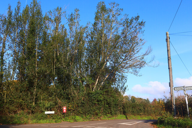
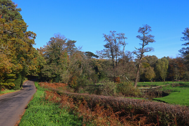
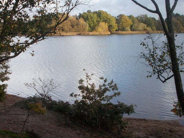
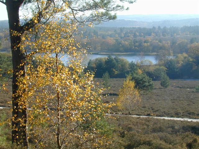
Hammonds Wood Images
Images are sourced within 2km of 51.16842/-0.79630919 or Grid Reference SU8441. Thanks to Geograph Open Source API. All images are credited.


Hammonds Wood is located at Grid Ref: SU8441 (Lat: 51.16842, Lng: -0.79630919)
Administrative County: Surrey
District: Waverley
Police Authority: Surrey
What 3 Words
///mistaken.drooling.infects. Near Churt, Surrey
Nearby Locations
Related Wikis
Frensham Common
Frensham Common is a large Site of Special Scientific Interest (SSSI) heathland of 373 hectares (922 acres) which includes two lakes; it is owned and...

Frensham
Frensham is a village in Surrey, England, next to the A287 road, 13 miles (20.9 km) WSW of Guildford, the county town. Frensham lies on the right bank...

Pierrepont School, Frensham
Pierrepont School, Frensham, originally known as Pierrepont House School, was a private school in Surrey, England, with day pupils as well as boarders...
Frensham Heights School
Frensham Heights School is an independent school and sixth form college located near Farnham, Surrey, England, run by the registered charity, Frensham...
Edgeborough School
Edgeborough School is a prep school near Farnham, Surrey in England. It is currently attended by ~360 kids between 2 and 13. The Head is Daniel Cox, former...

Gong Hill
Gong Hill is a 5.9-hectare (15-acre) biological Site of Special Scientific Interest south of Farnham in Surrey.This heathland site is dominated by ling...

Dockenfield
Dockenfield is a village and civil parish in the borough of Waverley in Surrey, England. The parish is undulating, has a number of sources of the River...

Old Kiln Light Railway
The Old Kiln Light Railway is a 2 ft (610 mm) narrow gauge railway at the Rural Life Living Museum in Tilford, near Farnham, Surrey. It has a collection...
Nearby Amenities
Located within 500m of 51.16842,-0.79630919Have you been to Hammonds Wood?
Leave your review of Hammonds Wood below (or comments, questions and feedback).