Barr
Settlement in Somerset Somerset West and Taunton
England
Barr
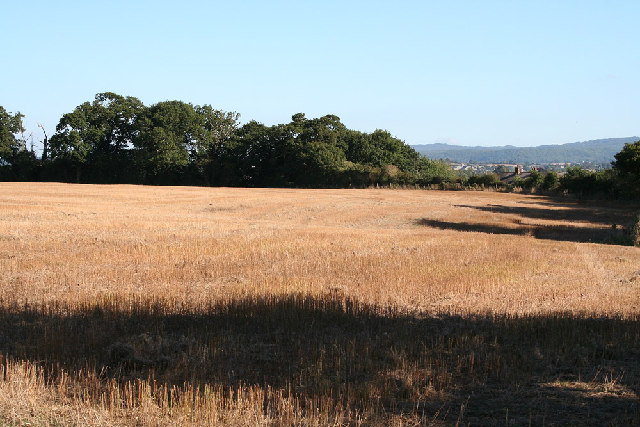
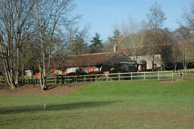
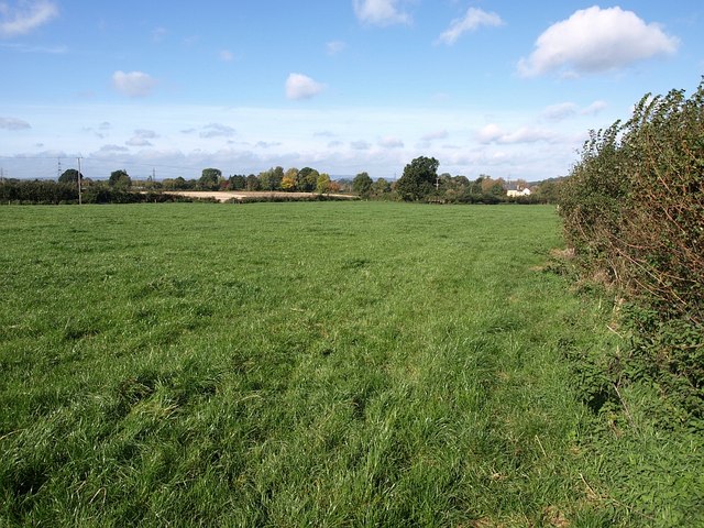
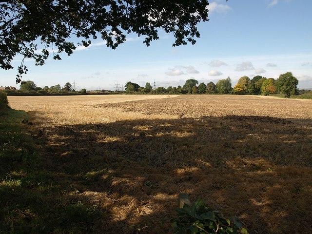
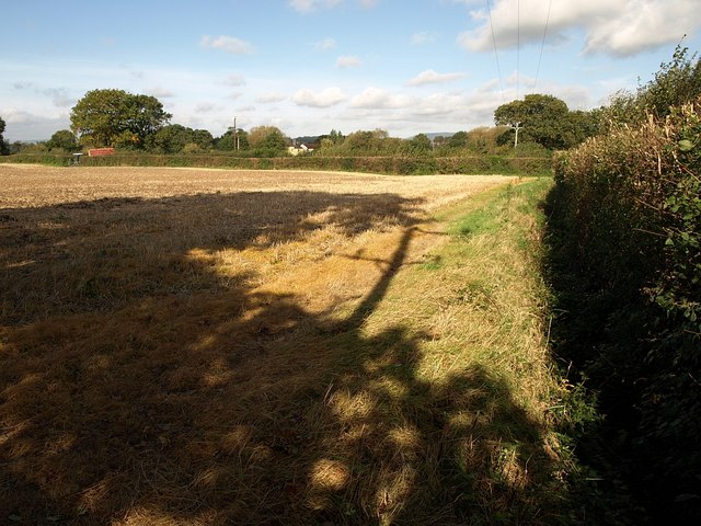
Barr is a small village located in the civil parish of Barrington, within the county of Somerset, in the southwest of England. Situated approximately 10 miles south of the city of Bristol, Barr is a picturesque rural settlement surrounded by rolling hills and beautiful countryside.
The village itself is home to a population of around 500 residents, making it a tight-knit and close community. Barr boasts a rich history, with records dating back to the Domesday Book of 1086. The village's architecture also reflects its past, with several historic buildings, such as St. Mary's Church, which dates back to the 13th century.
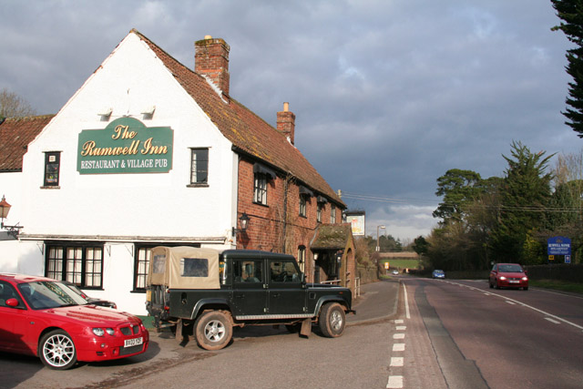
Despite its small size, Barr offers a range of amenities to cater to the needs of its residents. These include a primary school, a village hall, and a local pub, which serves as a popular meeting spot for locals and visitors alike. The village also benefits from being located within close proximity to larger towns and cities, providing easy access to a wider range of services and facilities.
The surrounding countryside offers numerous opportunities for outdoor activities and exploration. There are several walking and cycling trails that wind through the lush landscapes, allowing residents and visitors to enjoy the tranquility and natural beauty of the area.
Overall, Barr is a charming and idyllic village, offering a peaceful and rural lifestyle, while also benefiting from its proximity to larger urban centers.
If you have any feedback on the listing, please let us know in the comments section below.
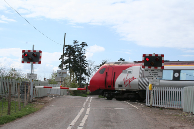
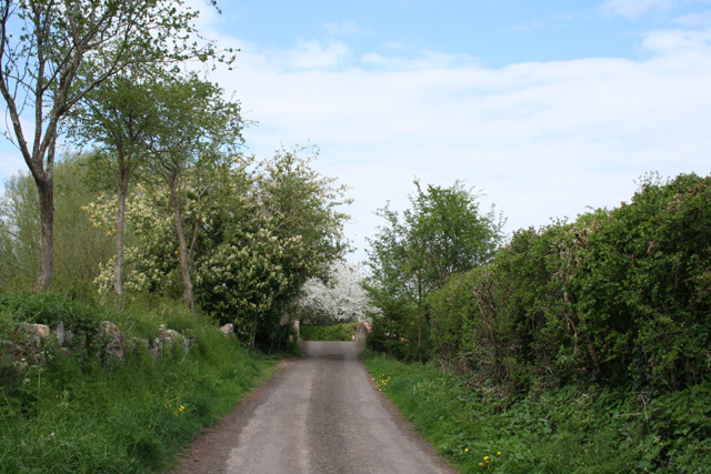
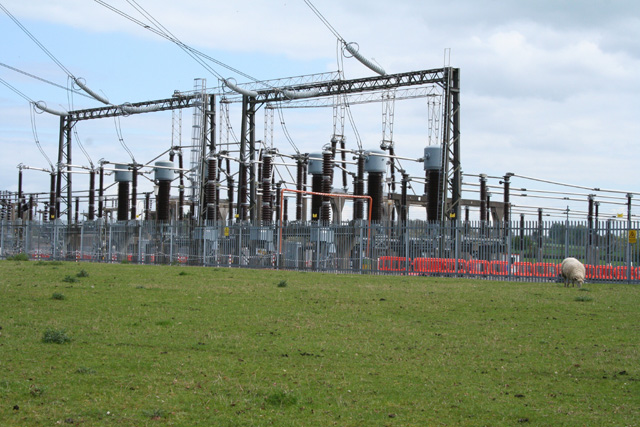
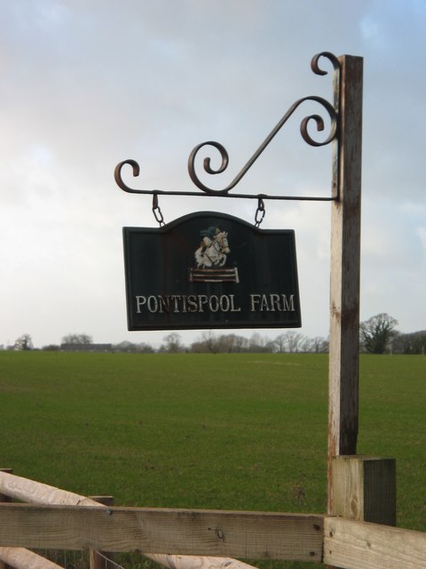
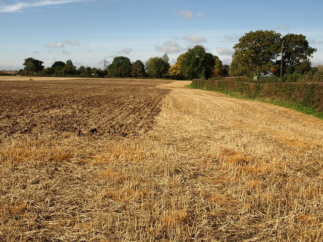
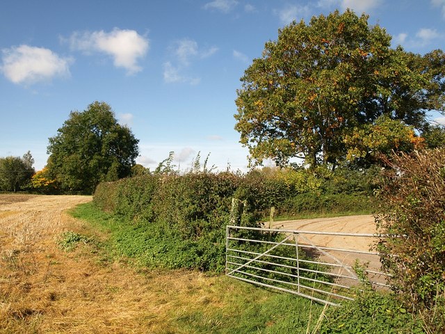
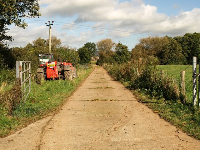
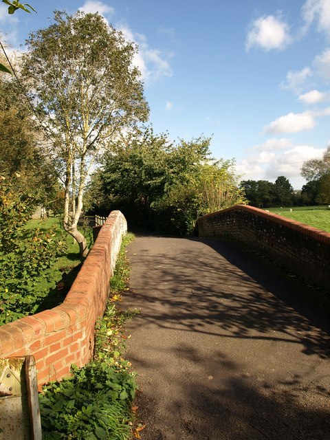
Barr Images
Images are sourced within 2km of 51.01876/-3.148086 or Grid Reference ST1925. Thanks to Geograph Open Source API. All images are credited.


Barr is located at Grid Ref: ST1925 (Lat: 51.01876, Lng: -3.148086)
Administrative County: Somerset
District: Somerset West and Taunton
Police Authority: Avon and Somerset
What 3 Words
///fonts.palm.vase. Near Taunton, Somerset
Nearby Locations
Related Wikis

1940 Norton Fitzwarren rail crash
The Norton Fitzwarren rail crash occurred on 4 November 1940 between Taunton and Norton Fitzwarren in the English county of Somerset, when the driver of...

Norton Fitzwarren
Norton Fitzwarren is a village, electoral ward, and civil parish in Somerset, England, situated 2 miles (3.2 km) north west of Taunton. The village has...
Bishop's Hull
Bishop's Hull is a village and civil parish in Somerset, England, in the western suburbs of Taunton. It includes the areas of Rumwell, Rumwell Park, Roughmoor...
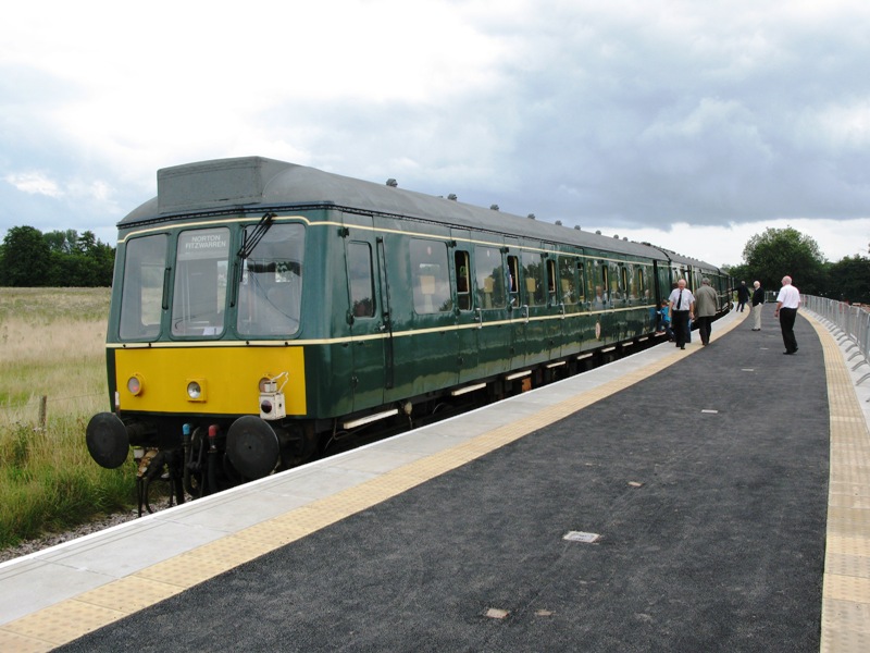
Norton Fitzwarren railway station
Norton Fitzwarren railway station is an untimetabled station on the West Somerset Railway in Somerset, England. It was built in 2009 about 1⁄4 mile (0...
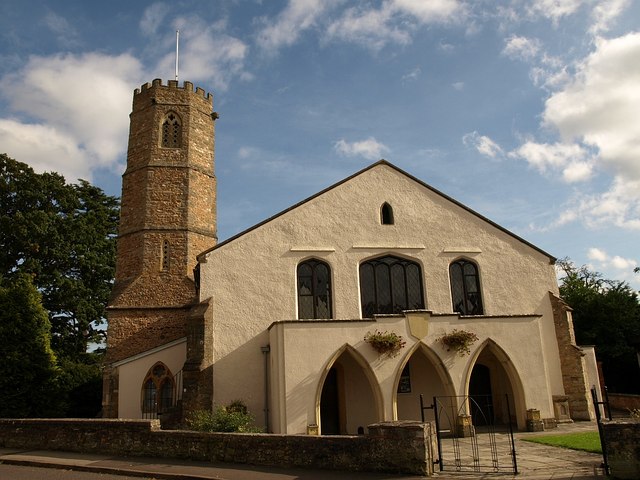
Church of St Peter and St Paul, Bishop's Hull
The Church of St Peter and St Paul in Bishop's Hull, Somerset, England was built in the 13th century. It is a Grade II* listed building. == History... ==
1890 Norton Fitzwarren rail crash
The Norton Fitzwarren rail crash occurred on 11 November 1890, at Norton Fitzwarren station on the Great Western Railway, approximately two miles south...
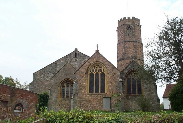
Church of All Saints, Norton Fitzwarren
The Church of All Saints is an Anglican church in Norton Fitzwarren, Somerset, England, which dates from the late 13th or early 14th century. It is located...
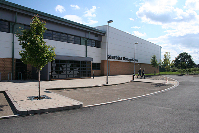
Somerset Archives and Local Studies
The Somerset Archives and Local Studies holds the archives for the county of Somerset, England. The archives are held at Brunel Way, Langford Mead, Norton...
Related Videos

Bristol Bath & Somerset Tourism Awards - Spring Party 2023
Winners and sponsors gathered at Space Adventurers, Taunton for an evening of fun, celebration and networking. In this video ...
Weekly Walk: Trull Taunton Somerset Feb 2024
Join us on our weekly walking tour as we explore the Village of Trull in Taunton Somerset. This week I have a walking companion ...

Bishops hull, Somerset #2021 #yatri #somerset #uk #nepalese #gurkhas
Bishop's Hull is a village and civil parish in Somerset, England, situated in the western suburbs of Taunton in the Somerset West ...

Merry Christmas 2018
Cllr John Hunt's Christmas Card 2018. Comeytrowe, Galmington and Bishop's Hull.
Nearby Amenities
Located within 500m of 51.01876,-3.148086Have you been to Barr?
Leave your review of Barr below (or comments, questions and feedback).