Ceunant Coch
Valley in Merionethshire
Wales
Ceunant Coch

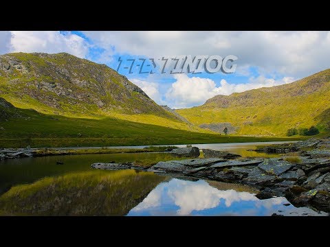
Ceunant Coch is a picturesque valley located in Merionethshire, Wales. Nestled amidst the rugged Snowdonia National Park, this valley offers breathtaking natural beauty and a tranquil escape from the bustling city life.
The valley is characterized by its steep slopes and dense woodland, with the Afon Coch river meandering through its heart. The name "Ceunant Coch" translates to "Red Ravine" in English, which is a fitting description due to the reddish hue of the rocks found in the area.
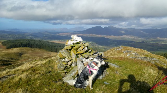
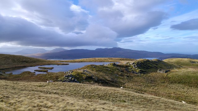
The valley boasts an abundance of wildlife and is a haven for nature enthusiasts. It is home to various species of birds, including red kites and buzzards, as well as a diverse range of flora and fauna. Walking through the valley, visitors can enjoy the sight of wildflowers, ancient trees, and moss-covered rocks.
Ceunant Coch also offers numerous walking trails that cater to different levels of difficulty, allowing visitors to explore the valley and its surroundings at their own pace. These paths provide breathtaking views of the surrounding mountains, including the imposing Cader Idris.
The valley is an ideal destination for those seeking outdoor activities. It is a popular spot for hiking, birdwatching, and photography, with its ever-changing landscapes providing ample opportunities for capturing stunning vistas.
In conclusion, Ceunant Coch is a hidden gem in Merionethshire, offering a peaceful retreat in the heart of Snowdonia National Park. Its natural beauty, diverse wildlife, and numerous walking trails make it a must-visit destination for nature lovers and outdoor enthusiasts.
If you have any feedback on the listing, please let us know in the comments section below.
Ceunant Coch Images
Images are sourced within 2km of 52.945843/-3.9148786 or Grid Reference SH7140. Thanks to Geograph Open Source API. All images are credited.


![Ger Tomen y Mur / Near Tomen y Mur Llwybr cyhoeddus ger Tomen y Mur.
A public footpath near Tomen y Mur (trans. [castle] mound of the wall).](https://s3.geograph.org.uk/geophotos/04/92/80/4928007_0618b30f.jpg)


Ceunant Coch is located at Grid Ref: SH7140 (Lat: 52.945843, Lng: -3.9148786)
Unitary Authority: Gwynedd
Police Authority: North Wales
What 3 Words
///cleansed.season.beaters. Near Ffestiniog, Gwynedd
Nearby Locations
Related Wikis

Ffestiniog transmitting station
The Ffestiniog transmitting station is a broadcasting and telecommunications facility located on the slopes of Mynydd Maentwrog about 3 kilometres (1.9...

Festiniog railway station
Festiniog railway station served the village of Llan Ffestiniog, Gwynedd, Wales. This station was one of many 19th century institutions in Wales to be...
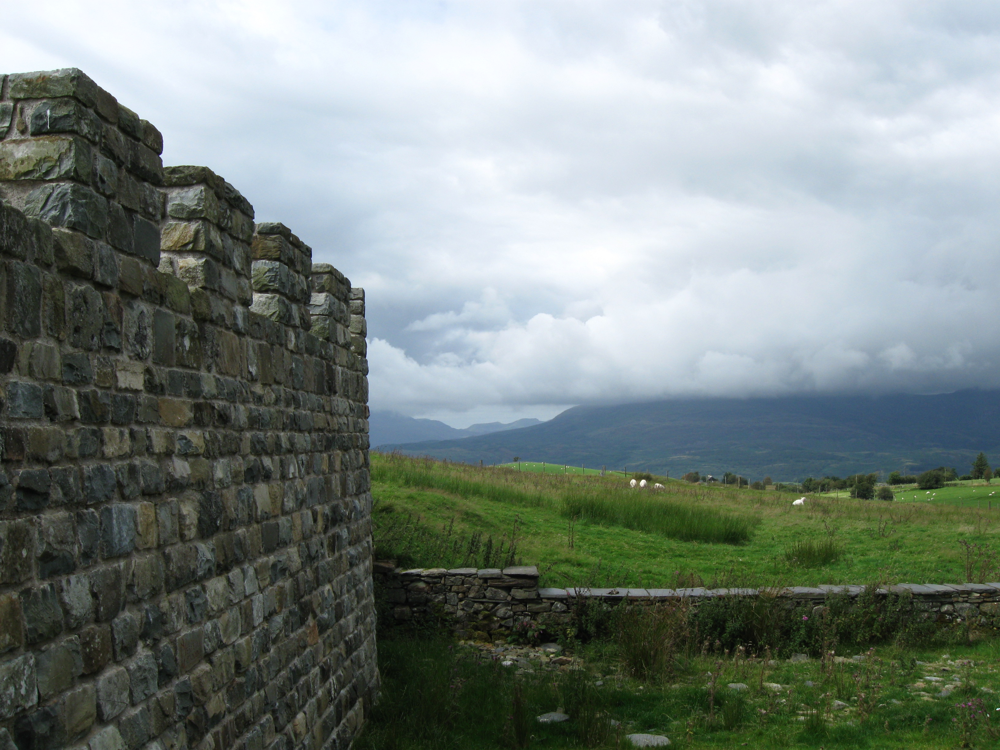
Tomen y Mur
Tomen y Mur is a First Century AD Roman fort in Snowdonia, Gwynedd, Wales. The fortification, which lies on the slope of an isolated spur northeast of...

Ceunant Cynfal National Nature Reserve
Ceunant Cynfal National Nature Reserve is a river gorge which forms part of a wet wooded ravine of the Afon Cynfal near Ffestiniog in Gwynedd, Wales. The...
Related Videos
Tanygrisiau to Rhyd y Sarn and back via Moel Ystradau
tanygrisiau #rhydysarn #moelystradau.
Ffestiniog Exploration - GoPro 4k
My friend and I took a look around the Ffestiniog area in Wales. Enjoy My Links- Instagram ...

Nearby Amenities
Located within 500m of 52.945843,-3.9148786Have you been to Ceunant Coch?
Leave your review of Ceunant Coch below (or comments, questions and feedback).