Landywood
Settlement in Staffordshire South Staffordshire
England
Landywood

Landywood is a small village located in the county of Staffordshire, England. Situated approximately 6 miles north of the town of Cannock, Landywood is a primarily residential area with a population of around 3,000 residents.
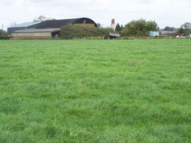
The village offers a peaceful and picturesque setting, surrounded by lush green fields and countryside. It is known for its close-knit community and friendly atmosphere, making it an ideal place to raise a family or retire. The housing in Landywood consists mainly of traditional brick-built houses, with a mix of detached and semi-detached properties.
Landywood benefits from a range of local amenities, including a primary school, post office, convenience stores, and a few local pubs and restaurants. The village also has excellent transport links, with regular bus services connecting it to nearby towns and cities. The nearest railway station is Cannock, which provides direct links to Birmingham and Stoke-on-Trent.
For nature enthusiasts, Landywood is surrounded by beautiful countryside and offers easy access to several nearby parks and nature reserves. Cannock Chase, an Area of Outstanding Natural Beauty, is just a short drive away and provides ample opportunities for walking, cycling, and wildlife-spotting.
Overall, Landywood is a charming and tranquil village that offers a high quality of life for its residents. It combines the peace and quiet of rural living with convenient access to essential amenities and nearby urban centers.
If you have any feedback on the listing, please let us know in the comments section below.
Landywood Images
Images are sourced within 2km of 52.648108/-2.014009 or Grid Reference SJ9905. Thanks to Geograph Open Source API. All images are credited.


Landywood is located at Grid Ref: SJ9905 (Lat: 52.648108, Lng: -2.014009)
Administrative County: Staffordshire
District: South Staffordshire
Police Authority: Staffordshire
What 3 Words
///copies.from.bind. Near Great Wyrley, Staffordshire
Nearby Locations
Related Wikis

Landywood
Landywood is a village in the South Staffordshire district of Staffordshire, England. Landywood is part of the South Staffordshire ward named "Great Wyrley...

Newtown, Staffordshire
Newtown is a small village in Essington parish, South Staffordshire, England. Newtown lies between the Landywood area of Great Wyrley (to the north) and...
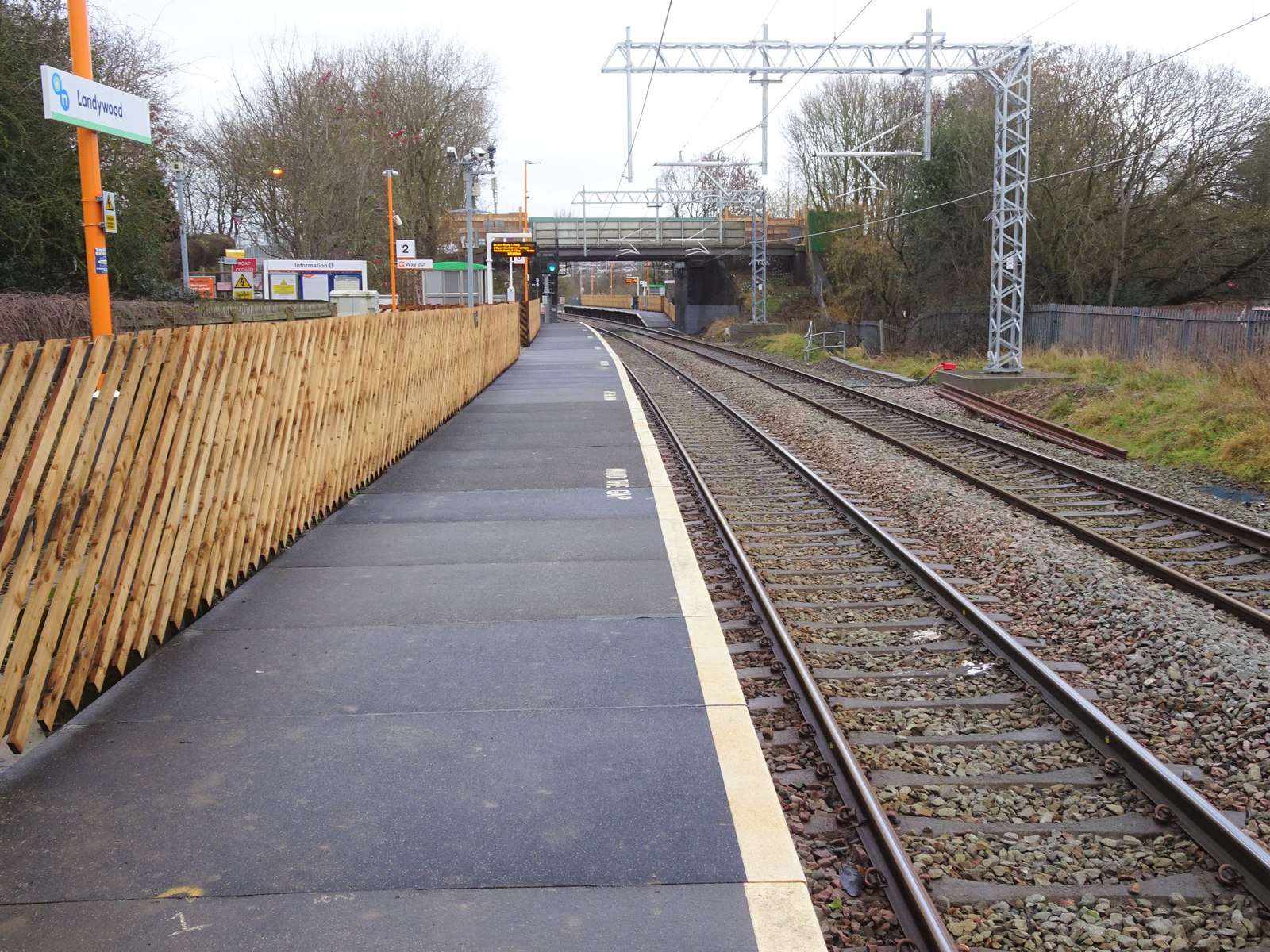
Landywood railway station
Landywood railway station is situated in the village of Landywood in Staffordshire, England. As well as Landywood, the station also serves the adjacent...
Wednesbury Town F.C.
Wednesbury Town F.C. was the name used for three football clubs based in Wednesbury, West Midlands, England. == Original club == The Wednesbury Football...
Nearby Amenities
Located within 500m of 52.648108,-2.014009Have you been to Landywood?
Leave your review of Landywood below (or comments, questions and feedback).