Cwm Felin-ban
Valley in Cardiganshire
Wales
Cwm Felin-ban
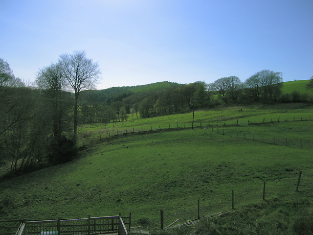
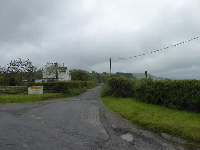
Cwm Felin-ban is a picturesque valley located in Cardiganshire, Wales. Nestled amidst rolling green hills and meandering rivers, this valley is a breathtaking destination for nature lovers and outdoor enthusiasts.
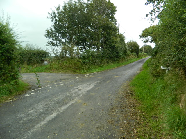
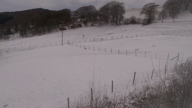
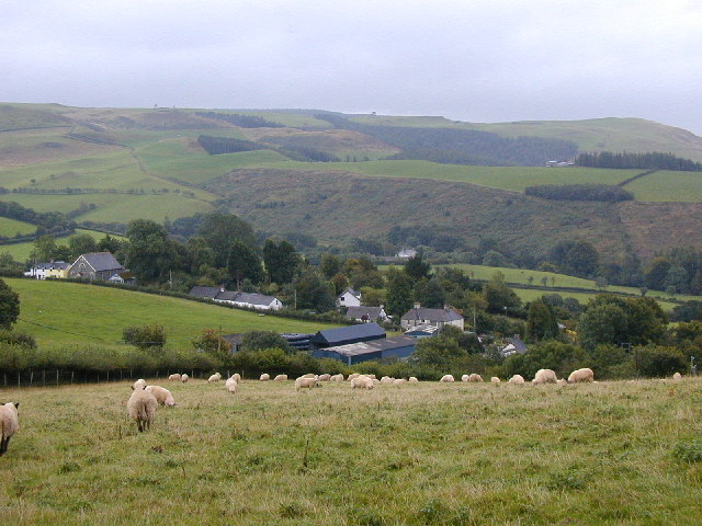
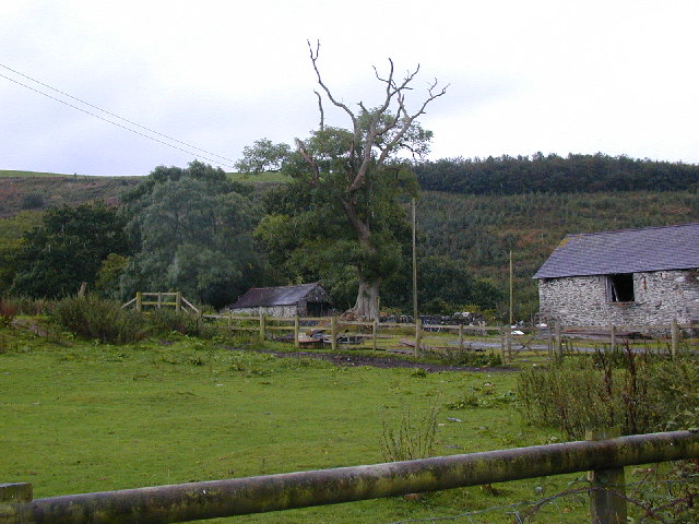
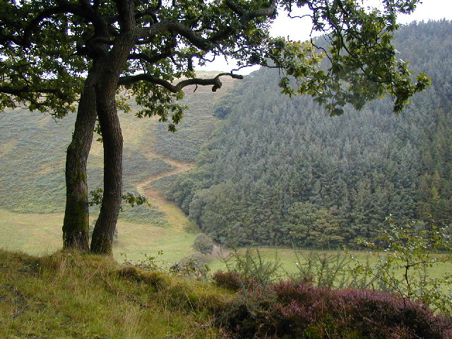
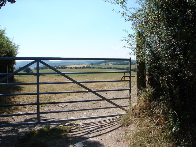
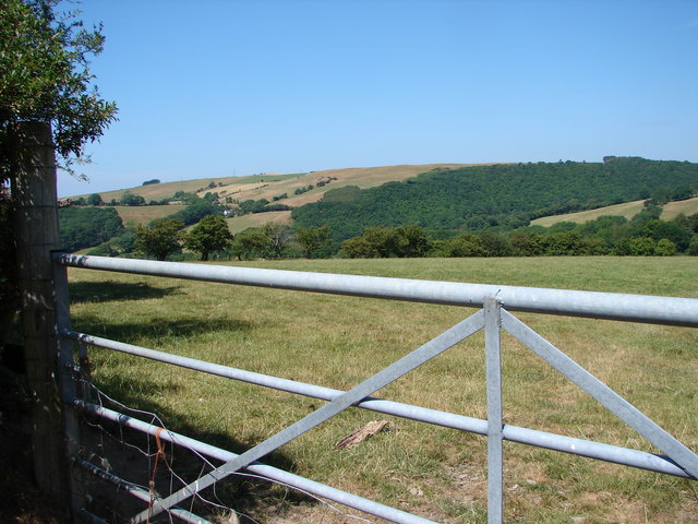
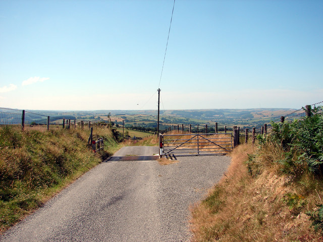
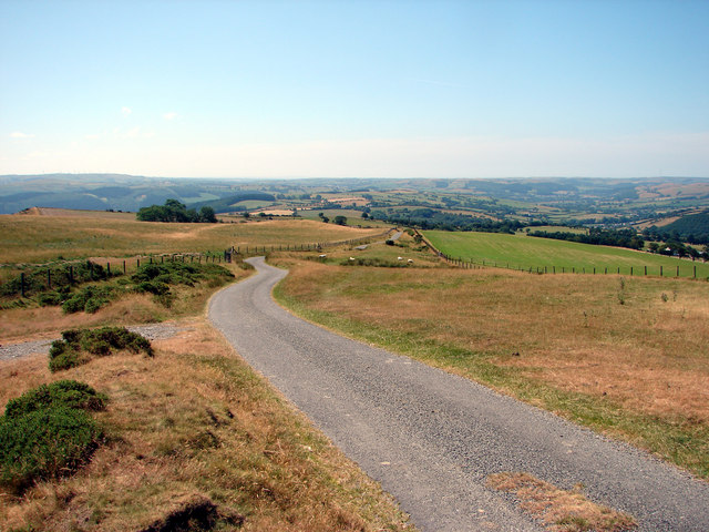
The valley is characterized by its verdant landscape, consisting of lush fields, dense woodlands, and cascading waterfalls. The River Ban flows through the heart of Cwm Felin-ban, adding to the tranquility and beauty of the area. The river is known for its crystal-clear waters, which provide a habitat for various species of fish and other aquatic life.
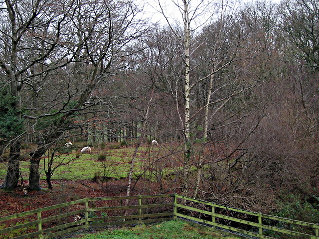
Cwm Felin-ban is home to a diverse range of wildlife, making it a haven for birdwatchers and nature photographers. Visitors can spot a variety of bird species, including red kites, buzzards, and herons, as well as small mammals like otters and badgers.
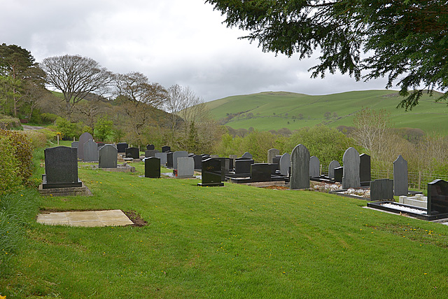
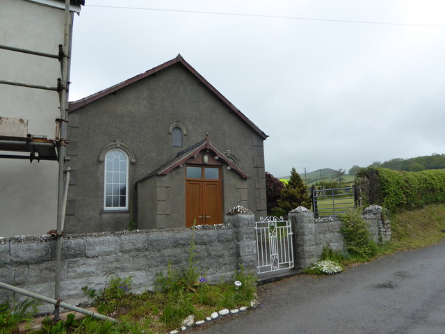
The valley also boasts a rich cultural heritage, with several historical landmarks and ancient ruins. One notable landmark is the ruins of Felin-ban Mill, a former watermill that dates back to the 18th century. The mill was once a vital part of the local community, grinding grain and producing flour. Today, it stands as a reminder of the valley's industrial past.
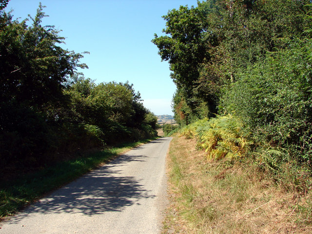
Cwm Felin-ban offers numerous recreational activities for visitors to enjoy. Hiking trails crisscross the valley, providing opportunities for scenic walks and challenging treks. Fishing is another popular activity, with the River Ban offering a peaceful and idyllic setting for anglers.
Overall, Cwm Felin-ban is a captivating destination that showcases the natural beauty and cultural heritage of Cardiganshire. Its stunning landscapes, abundant wildlife, and historical landmarks make it a must-visit location for those seeking a serene and enchanting experience.
If you have any feedback on the listing, please let us know in the comments section below.
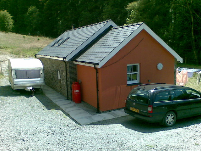
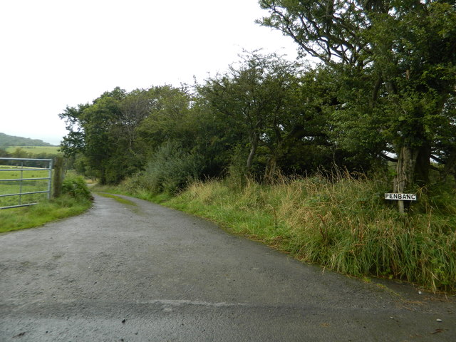
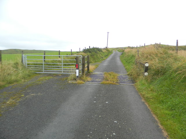
Cwm Felin-ban Images
Images are sourced within 2km of 52.353372/-3.930773 or Grid Reference SN6874. Thanks to Geograph Open Source API. All images are credited.
Cwm Felin-ban is located at Grid Ref: SN6874 (Lat: 52.353372, Lng: -3.930773)
Unitary Authority: Ceredigion
Police Authority: Dyfed Powys
What 3 Words
///paper.feasts.thudding. Near Llanilar, Ceredigion
Nearby Locations
Related Wikis

Banc-y-môr
Banc-y-môr is a small village in the community of Trawsgoed, Ceredigion, Wales, which is 69.4 miles (111.6 km) from Cardiff and 173.5 miles (279.1 km...

Trawsgoed
Trawsgoed (Welsh for "Crosswood") is both a community and an estate in Ceredigion, Wales. The estate is 8 miles (13 km) southeast of Aberystwyth, and has...
Abermagwr
Abermagwr is a small settlement in the county of Ceredigion, Wales. It is on the B4340 road and is 11 kilometres (7 mi) southeast of the town of Aberystwyth...

Llanafan, Ceredigion
Llanafan is a small village between Tregaron and Aberystwyth, Ceredigion, in Wales. Llanafan is around ten miles from Aberystwyth and Tregaron. It is named...
Trawscoed fort
Trawscoed fort is a Roman auxiliary fort in Ceredigion, Wales, located near the modern settlement of Trawsgoed and is cut through by the modern B4340 road...
St Afan's Church, Llanafan
Saint Afan's Church (SN68387192) is located in Llanafan, 8 miles (13 km) east of Aberystwyth, Ceredigion, in Wales. == History == The original church on...
Ernest Vaughan, 7th Earl of Lisburne
Ernest Edmund Henry Malet Vaughan, 7th Earl of Lisburne KStJ (8 February 1892 – 30 June 1965), of Trawsgoed, Cardiganshire, was a Welsh nobleman. ��2...

Llanfihangel y Creuddyn
Llanfihangel-y-Creuddyn (Welsh: [ɬanvɪˈhaŋɛl ɨ ˈkrɛɨðɨn] ) is an ancient parish in the upper division of the hundred of Ilar, Ceredigion, West Wales, 7...
Nearby Amenities
Located within 500m of 52.353372,-3.930773Have you been to Cwm Felin-ban?
Leave your review of Cwm Felin-ban below (or comments, questions and feedback).