Allt Lŵyd
Wood, Forest in Cardiganshire
Wales
Allt Lŵyd
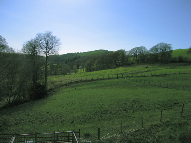
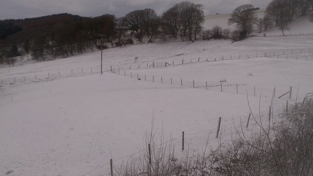
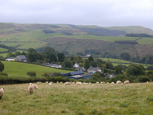
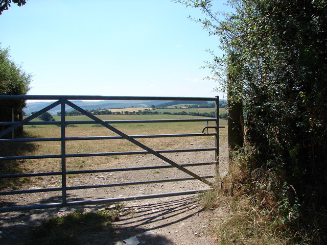
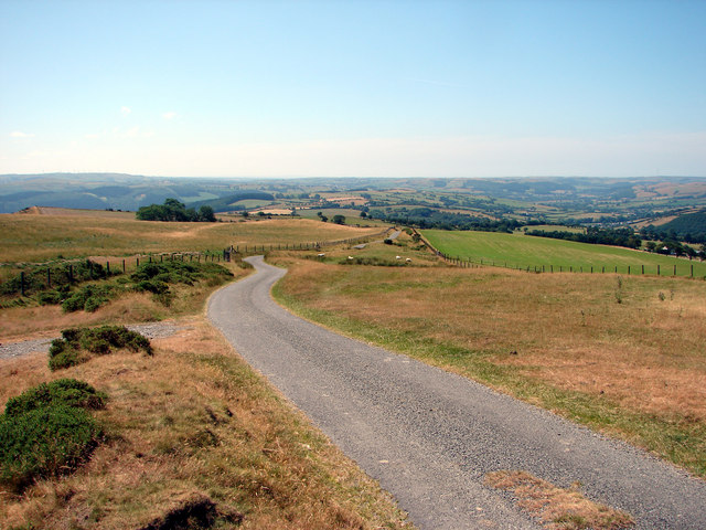
Allt Lŵyd, located in Cardiganshire, Wales, is a picturesque woodland area that spans across several acres. The name "Allt Lŵyd" translates to "Wood, Forest" in English, accurately depicting the natural beauty and lush greenery that characterizes this enchanting destination.
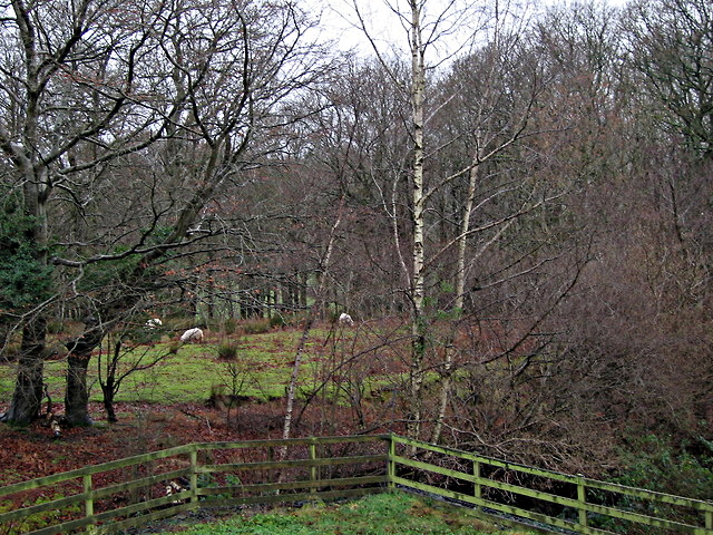
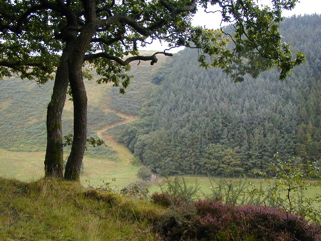
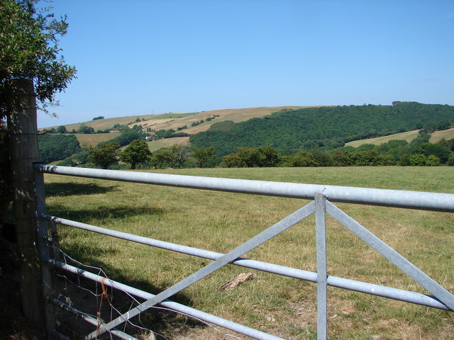
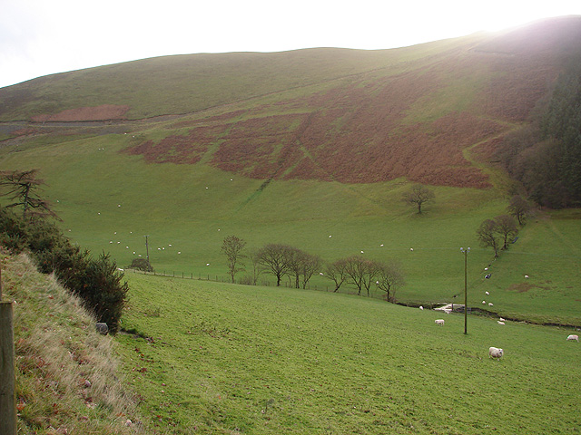
The woodland is home to a diverse range of flora and fauna, creating a thriving ecosystem. Tall oak, beech, and ash trees dominate the landscape, providing a dense canopy that filters the sunlight and creates a serene atmosphere. The forest floor is covered in a carpet of moss, ferns, and wildflowers, adding bursts of color and perfume to the surroundings.
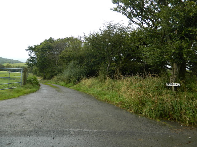
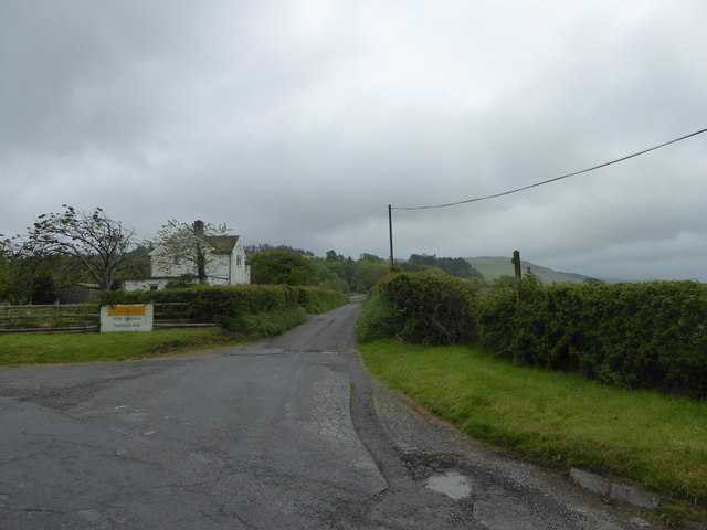
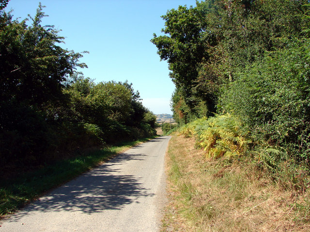
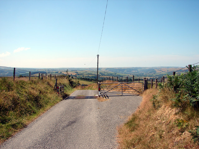
Allt Lŵyd offers an idyllic setting for nature enthusiasts and outdoor lovers. The area boasts numerous walking trails that wind through the forest, allowing visitors to immerse themselves in the tranquil ambiance and explore the hidden gems within. Along these trails, one may encounter various wildlife species, including deer, foxes, and a remarkable array of birdlife.
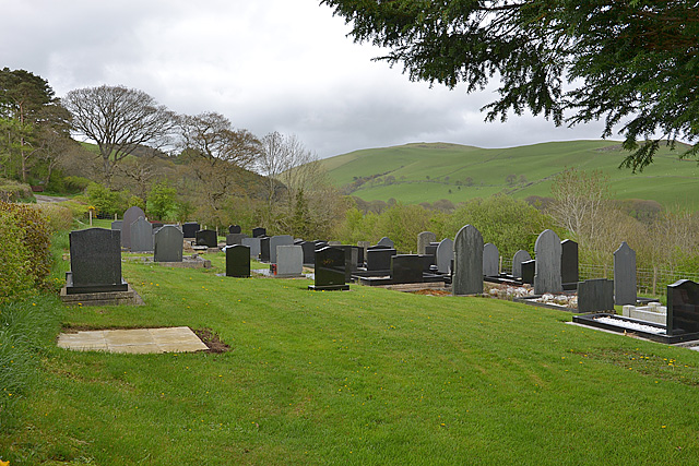
The woodland is also renowned for its historical significance. Ruins of ancient settlements and prehistoric sites can be found scattered throughout the area, providing a glimpse into the rich cultural heritage of the region. These remnants serve as a reminder of the deep-rooted human connection with the land and its enduring significance.
Allt Lŵyd is a true haven for those seeking solace in nature. Whether one wishes to embark on a leisurely stroll, engage in birdwatching, or simply unwind amidst the tranquility, this woodland in Cardiganshire promises an unforgettable experience for all.
If you have any feedback on the listing, please let us know in the comments section below.
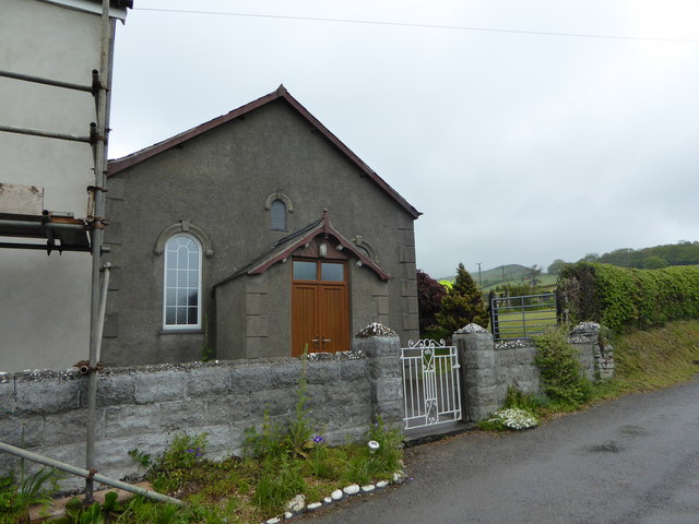
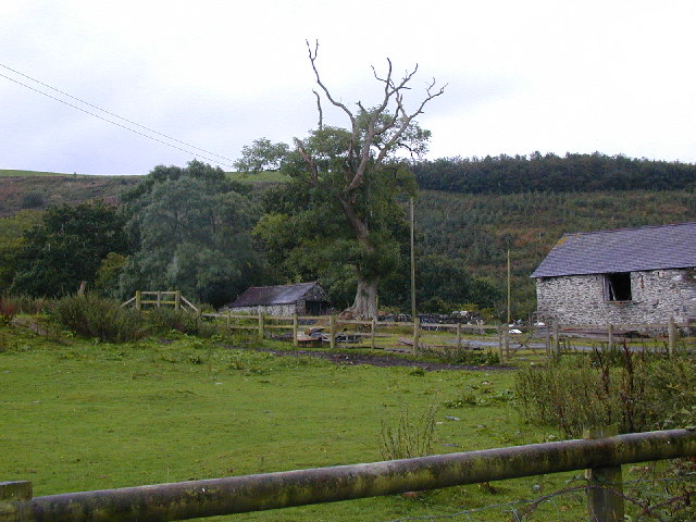
Allt Lŵyd Images
Images are sourced within 2km of 52.35504/-3.9272333 or Grid Reference SN6874. Thanks to Geograph Open Source API. All images are credited.
Allt Lŵyd is located at Grid Ref: SN6874 (Lat: 52.35504, Lng: -3.9272333)
Unitary Authority: Ceredigion
Police Authority: Dyfed Powys
What 3 Words
///grocers.shepherds.storyline. Near Llanilar, Ceredigion
Nearby Locations
Related Wikis

Banc-y-môr
Banc-y-môr is a small village in the community of Trawsgoed, Ceredigion, Wales, which is 69.4 miles (111.6 km) from Cardiff and 173.5 miles (279.1 km...

Llanafan, Ceredigion
Llanafan is a small village between Tregaron and Aberystwyth, Ceredigion, in Wales. Llanafan is around ten miles from Aberystwyth and Tregaron. It is named...
Trawscoed fort
Trawscoed fort is a Roman auxiliary fort in Ceredigion, Wales, located near the modern settlement of Trawsgoed and is cut through by the modern B4340 road...

Trawsgoed
Trawsgoed (Welsh for "Crosswood") is both a community and an estate in Ceredigion, Wales. The estate is 8 miles (13 km) southeast of Aberystwyth, and has...
Abermagwr
Abermagwr is a small settlement in the county of Ceredigion, Wales. It is on the B4340 road and is 11 kilometres (7 mi) southeast of the town of Aberystwyth...
St Afan's Church, Llanafan
Saint Afan's Church (SN68387192) is located in Llanafan, 8 miles (13 km) east of Aberystwyth, Ceredigion, in Wales. == History == The original church on...
Ernest Vaughan, 7th Earl of Lisburne
Ernest Edmund Henry Malet Vaughan, 7th Earl of Lisburne KStJ (8 February 1892 – 30 June 1965), of Trawsgoed, Cardiganshire, was a Welsh nobleman. ��2...

Llanfihangel y Creuddyn
Llanfihangel-y-Creuddyn (Welsh: [ɬanvɪˈhaŋɛl ɨ ˈkrɛɨðɨn] ) is an ancient parish in the upper division of the hundred of Ilar, Ceredigion, West Wales, 7...
Nearby Amenities
Located within 500m of 52.35504,-3.9272333Have you been to Allt Lŵyd?
Leave your review of Allt Lŵyd below (or comments, questions and feedback).