Cwm Merch
Valley in Caernarfonshire
Wales
Cwm Merch

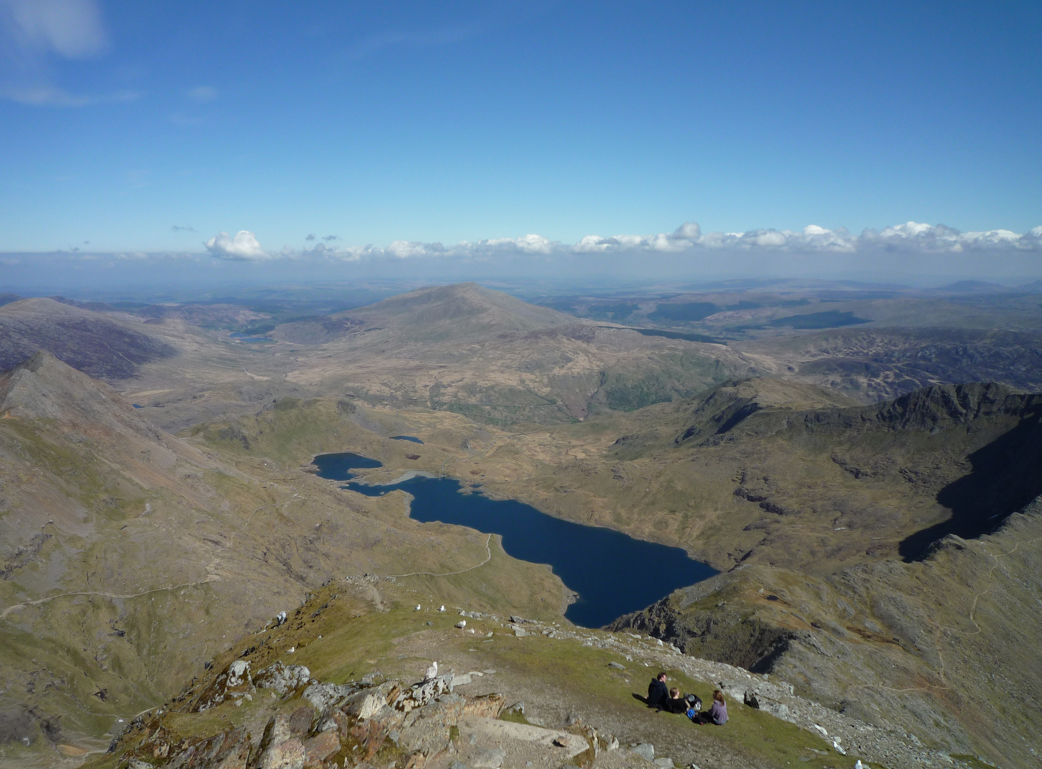
Cwm Merch is a small valley located in the county of Caernarfonshire, Wales. Situated near the town of Caernarfon, this picturesque valley is surrounded by rolling hills and lush green meadows, creating a truly idyllic setting.
The name "Cwm Merch" translates to "Valley of the Daughters" in Welsh, hinting at the historical significance of the area. The valley is believed to have been inhabited since ancient times, with evidence of human activity dating back to the Bronze Age.
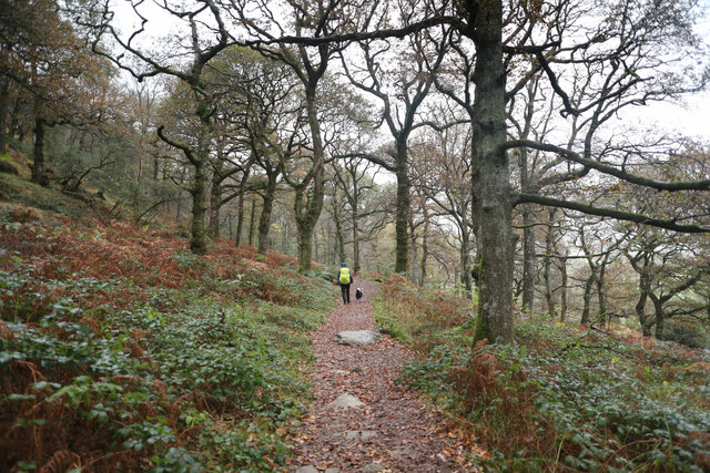
One of the main attractions of Cwm Merch is its natural beauty. The valley is blessed with stunning scenery, including a meandering river that flows through the heart of the landscape. The river provides a habitat for various species of wildlife, making it a popular spot for nature enthusiasts and birdwatchers.
Additionally, Cwm Merch offers a range of outdoor activities for visitors. The valley is a great place for hiking, with several walking trails that showcase the breathtaking views and allow explorers to immerse themselves in the tranquility of nature. There are also opportunities for fishing in the river, adding to the appeal for outdoor enthusiasts.
Cwm Merch is also a place of historical interest. The valley is home to several ancient monuments, including burial mounds and standing stones, further emphasizing its rich heritage.
Overall, Cwm Merch in Caernarfonshire is a hidden gem for those seeking natural beauty and a touch of history. Its stunning landscapes, diverse wildlife, and historical significance make it a must-visit destination for both locals and tourists alike.
If you have any feedback on the listing, please let us know in the comments section below.
Cwm Merch Images
Images are sourced within 2km of 53.050852/-4.0403277 or Grid Reference SH6352. Thanks to Geograph Open Source API. All images are credited.


Cwm Merch is located at Grid Ref: SH6352 (Lat: 53.050852, Lng: -4.0403277)
Unitary Authority: Gwynedd
Police Authority: North Wales
What 3 Words
///destined.mourner.expanded. Near Blaenau-Ffestiniog, Gwynedd
Nearby Locations
Related Wikis

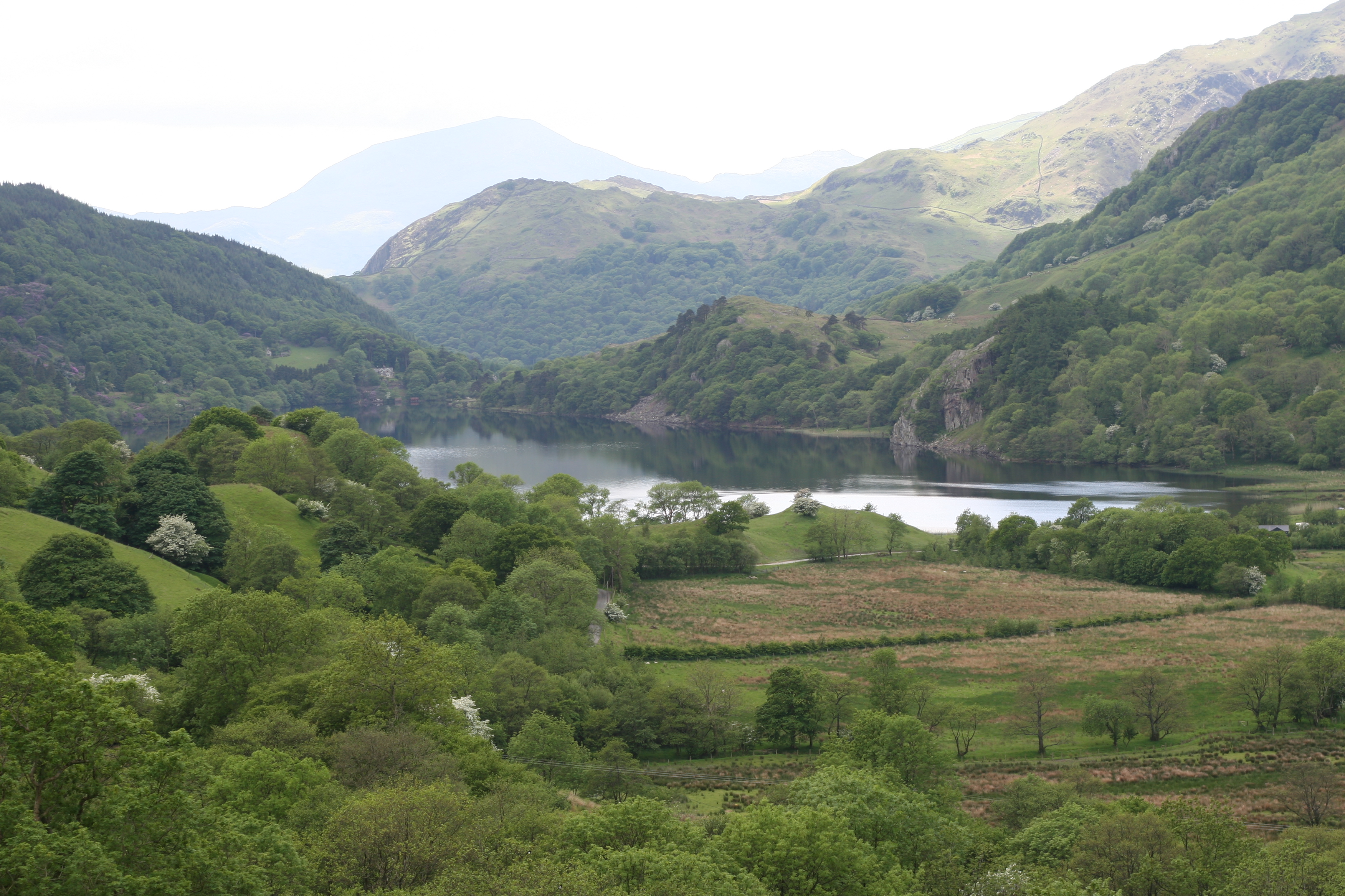
Llyn Gwynant
Llyn Gwynant is a lake in Snowdonia, Wales. Llyn Gwynant lies on the River Glaslyn, in the Nant Gwynant valley, and is about 1¼ miles (2 km) north east...

Lliwedd Bach
Lliwedd Bach is a top of Y Lliwedd in the Snowdonia National Park, North Wales. It is the last "top" on the main ridge of Y Lliwedd, the other being Y...
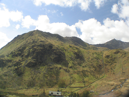
Gallt y Wenallt
Gallt y Wenallt is a subsidiary summit of Y Lliwedd in Snowdonia National Park, north Wales. It lies at the end of the north ridge. Its northern face is...

Y Lliwedd East Peak
Y Lliwedd East Peak is the twin top of Y Lliwedd in the Snowdonia National Park, North Wales. It is only 5 metres shorter than the main summit of Y Lliwedd...
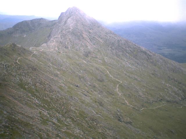
Y Lliwedd
Y Lliwedd is a mountain, connected to Snowdon in the Snowdonia National Park, North Wales. Its summit lies 898 metres (2,946 ft) above sea level. The eastern...
Nant Gwynant
Nant Gwynant (also spelt Nantgwynant) is a valley in northern Wales. The A498 road descends 600 feet (180 m) into the valley in about two miles (3 km)...

Plas Gwynant
Plas Gwynant is an educational resort in Snowdonia, Wales. This country estate also includes a woodland and riverside walks, as well as a parkland and...
Llyn Llydaw
Llyn Llydaw (Welsh for 'Brittany lake') is a natural lake in Snowdonia National Park on the flanks of Snowdon, Wales' highest mountain. This long thin...
Nearby Amenities
Located within 500m of 53.050852,-4.0403277Have you been to Cwm Merch?
Leave your review of Cwm Merch below (or comments, questions and feedback).