Ceunant Côch

Valley in Merionethshire

Wales

Ceunant Côch

Landscape North of Croesor Yr Arddu in the background.
Landscape North of Croesor Credit: Chris Andrews

The requested URL returned error: 429 Too Many Requests

If you have any feedback on the listing, please let us know in the comments section below.
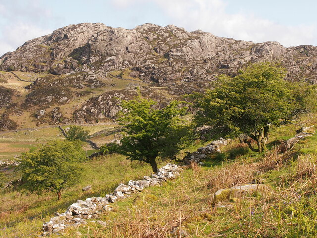
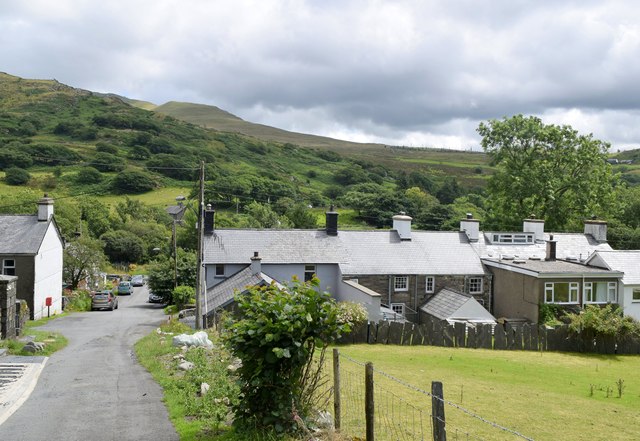
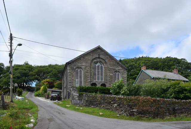
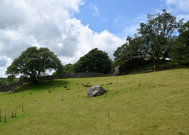
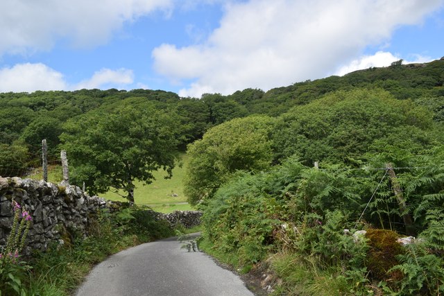
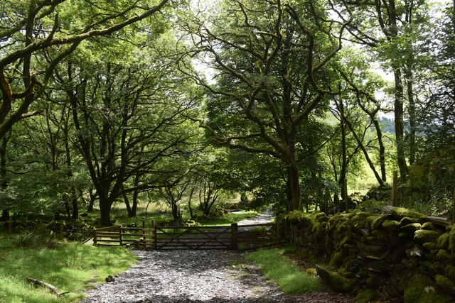
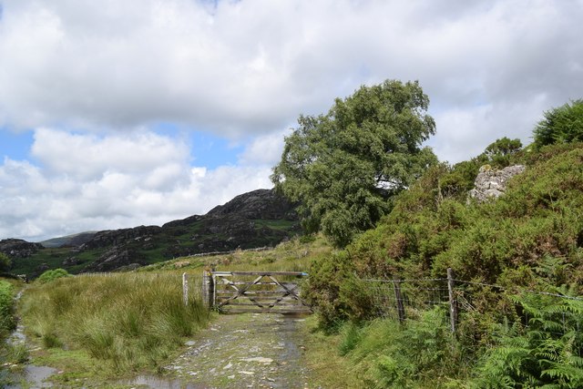
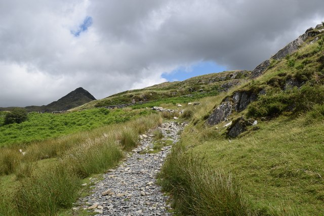
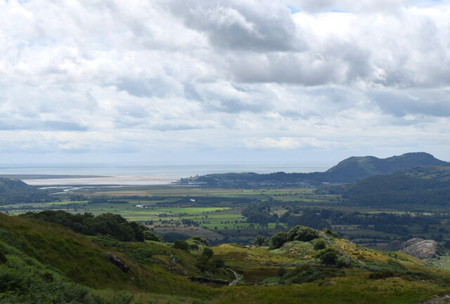
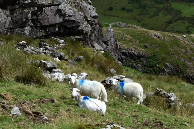
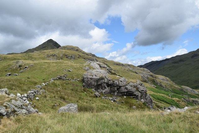
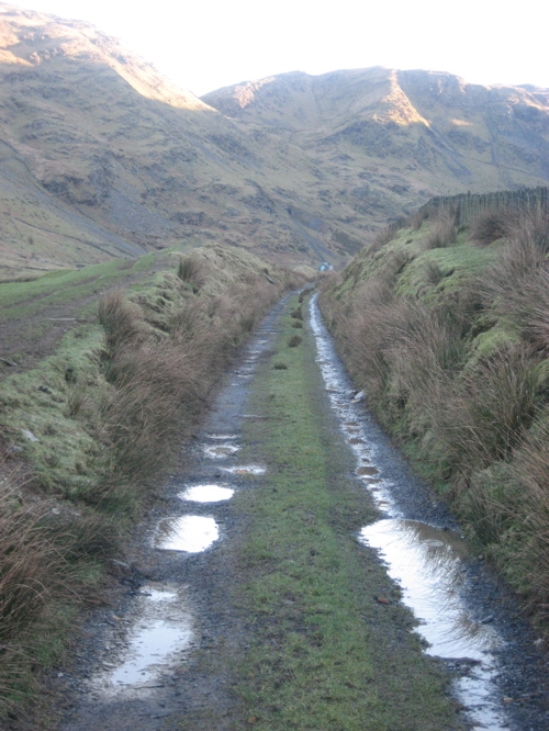
Ceunant Côch Images

Images are sourced within 2km of 52.975959/-4.0376902 or Grid Reference SH6344. Thanks to Geograph Open Source API. All images are credited.

Landscape North of Croesor Yr Arddu in the background.
Landscape North of Croesor
Yr Arddu in the background.
Croesor cottages Moelwyn Bach looms in the distance.
Croesor cottages
Moelwyn Bach looms in the distance.
Former chapel, Croesor Now in residential use.   If anybody knows the chapel denomination, I will amend the caption.   The steeply sloping road to the left leads towards the peak of Cnicht.
Former chapel, Croesor
Now in residential use. If anybody knows the chapel denomination, I will amend the caption. The steeply sloping road to the left leads towards the peak of Cnicht.
Erratic boulder, Croesor
Round the bend... ...on the way to Cnicht.
Round the bend...
...on the way to Cnicht.
Track through the woods... ...to the west of Croesor.
Track through the woods...
...to the west of Croesor.
Parting of the paths The Snowdonia Slate Trail to the left, the start of the ascent to Cnicht to the right...
Parting of the paths
The Snowdonia Slate Trail to the left, the start of the ascent to Cnicht to the right...
Climbing towards Cnicht The path of slate and granite chips is mostly well-defined.  Cnicht looms in the background.
Climbing towards Cnicht
The path of slate and granite chips is mostly well-defined. Cnicht looms in the background.
Looking back towards the coast The Glaslyn estuary and Porthmadog, some 10 km away, with clouds starting to gather...
Looking back towards the coast
The Glaslyn estuary and Porthmadog, some 10 km away, with clouds starting to gather...
Sheep by the path... ...on the way to Cnicht.  They seemed surprised to see me, perhaps they had a sense that a storm was blowing in...    The rock is (I think) part of an intrusion of igneous bedrock formed between 485.4 and 443.8 million years ago during the Ordovician period.
Sheep by the path...
...on the way to Cnicht. They seemed surprised to see me, perhaps they had a sense that a storm was blowing in... The rock is (I think) part of an intrusion of igneous bedrock formed between 485.4 and 443.8 million years ago during the Ordovician period.
Climbing towards Cnicht The terrain is getting rockier but there is still a long way to go...
Climbing towards Cnicht
The terrain is getting rockier but there is still a long way to go...
Pont Garreg-Hylldrem
Afon Croesor at Pont Garreg-Hylldrem Cnicht in the distance.
Afon Croesor at Pont Garreg-Hylldrem
Cnicht in the distance.
Croesor Cerddwyr yn mynd heibio i Gapel Croesor.

Walkers passing Croesor Chapel
Croesor
Cerddwyr yn mynd heibio i Gapel Croesor. Walkers passing Croesor Chapel
Moelwyn Mawr Cerddwyr yn mynd i lawr llethrau Moelwyn.

Walkers descending the slopes of Moelwyn Mawr.
Moelwyn Mawr
Cerddwyr yn mynd i lawr llethrau Moelwyn. Walkers descending the slopes of Moelwyn Mawr.
Wall below Yr Arddu
Wall below Yr Arddu
Buttresses on Yr Arddu
A sea of bracken below Yr Arddu
Show me another place!

Ceunant Côch is located at Grid Ref: SH6344 (Lat: 52.975959, Lng: -4.0376902)

Unitary Authority: Gwynedd

Police Authority: North Wales

What 3 Words

///video.fail.exonerate. Near Maentwrog, Gwynedd

Nearby Locations

Croesor Ceunant Côch

Related Wikis

Croesor

Croesor is a small village in Gwynedd, Wales, located at the foot of Cnicht, in Cwm Croesor, in the community of Llanfrothen. The Croesor Tramway travelled...

Parc quarry

Parc Quarry was a compact underground slate quarry in the Croesor Valley, Gwynedd, North Wales. It was connected to the Croesor Tramway, which ran through...

Croesor Tramway

The Croesor Tramway was a Welsh, 2 ft (610 mm) narrow gauge railway line built to carry slate from the Croesor slate mines to Porthmadog. It was built...

Parc, Penrhyndeudraeth

Parc (meaning Park in English) is the name of an ancient mansion found near the village of Croesor in the community of Llanfrothen near Penrhyndeudraeth...

Nearby Amenities

Located within 500m of 52.975959,-4.0376902
Power: pole
Lat/Long: 52.9791641/-4.0424699
Power: pole
Lat/Long: 52.9788935/-4.0417163
Power: pole
Lat/Long: 52.9784763/-4.0407092
Pont Maesgwm
Place: locality
Lat/Long: 52.9757217/-4.0334392
Rheadr - adfeilion hen dai
Historic: ruins
Lat/Long: 52.9749114/-4.0398168
The data included in this document is from www.openstreetmap.org. The data is made available under ODbL.

Have you been to Ceunant Côch?

Leave your review of Ceunant Côch below (or comments, questions and feedback).