Arngibbon Glen
Valley in Stirlingshire
Scotland
Arngibbon Glen
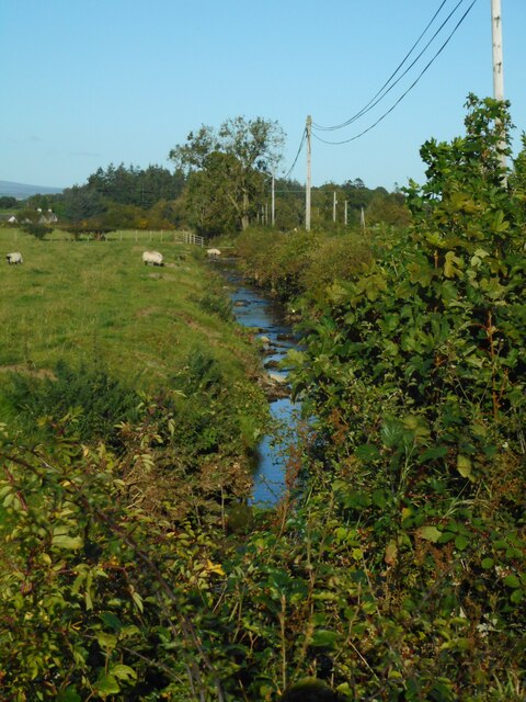
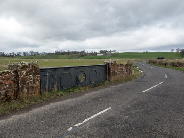
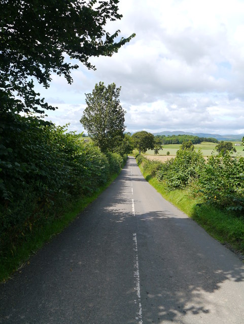
Arngibbon Glen is a picturesque valley located in Stirlingshire, Scotland. The glen is nestled between the Ochil Hills and the River Devon, offering visitors a stunning natural landscape to explore.
Covering an area of approximately 100 acres, Arngibbon Glen is home to a diverse range of flora and fauna. The woodland area is dominated by a mixture of deciduous and coniferous trees, including oak, beech, and pine. The forest floor is adorned with a carpet of bluebells and other wildflowers, creating a vibrant and colorful display in the spring and summer months.
The glen is crisscrossed by a network of well-maintained footpaths, allowing visitors to venture deep into the heart of the valley. Along the way, they will encounter a series of charming waterfalls, cascading down moss-covered rocks and creating a soothing soundtrack of rushing water. The most prominent waterfall in Arngibbon Glen is the spectacular 50-foot-high Arngibbon Falls, which is a popular spot for photographers and nature enthusiasts.
Arngibbon Glen is also rich in history, with remnants of an old mill and a Roman fort still visible within the glen. These historical sites provide a glimpse into the area's past and add an extra layer of intrigue to the natural beauty of the valley.
Overall, Arngibbon Glen is a tranquil and enchanting destination, offering visitors the opportunity to immerse themselves in the beauty of Scotland's countryside while also exploring its rich history.
If you have any feedback on the listing, please let us know in the comments section below.
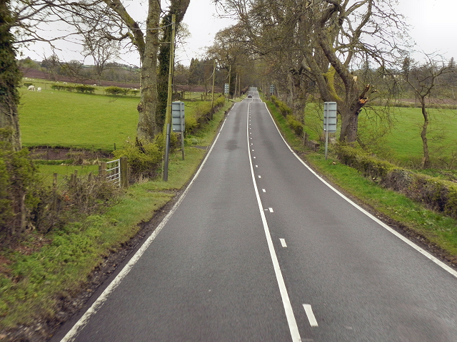
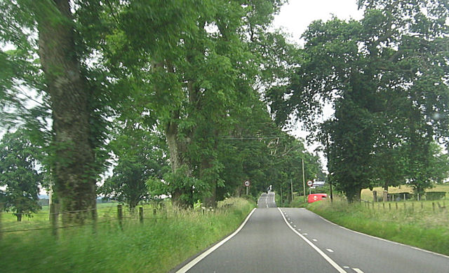
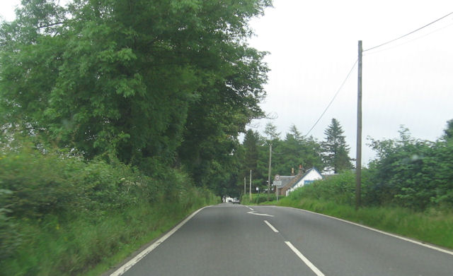
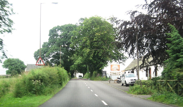
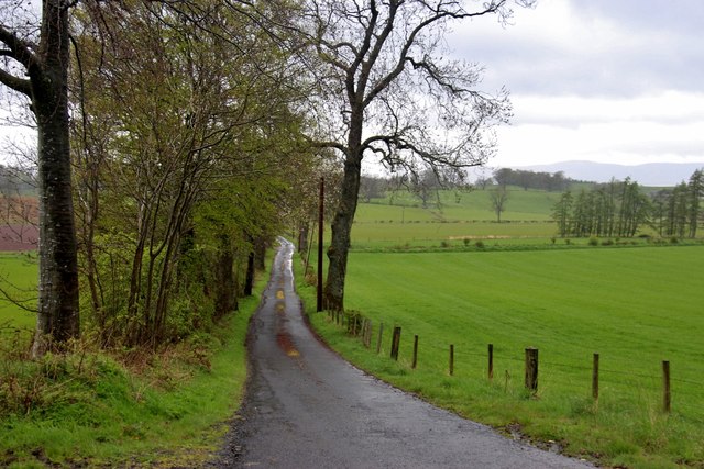
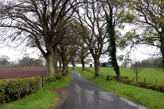
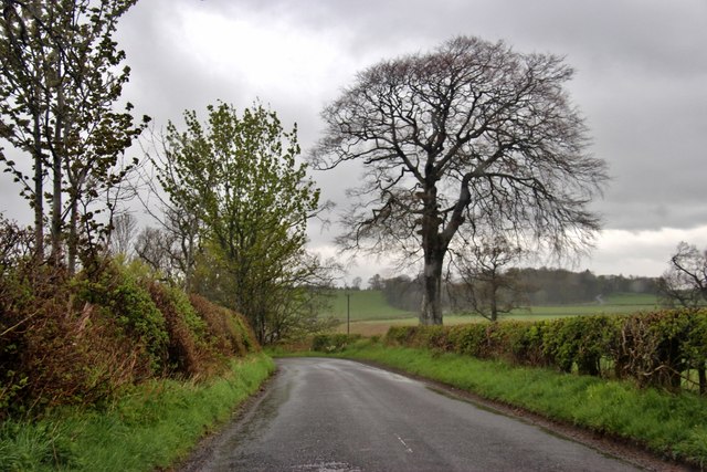
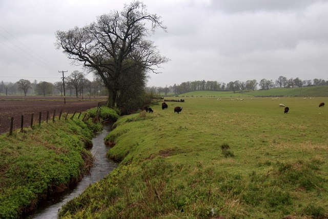
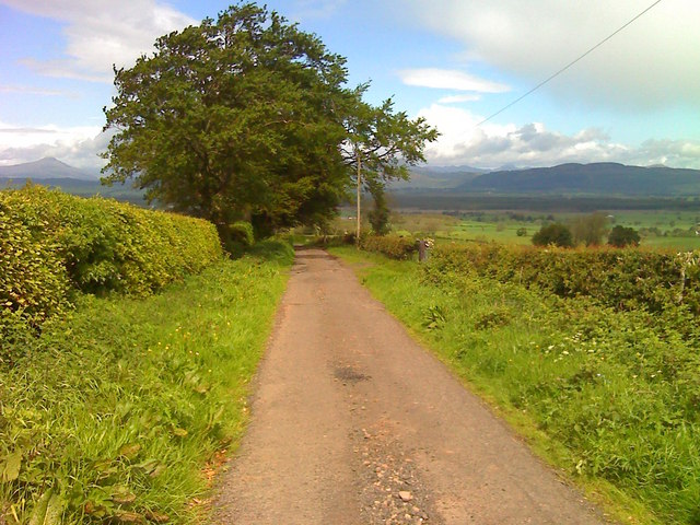
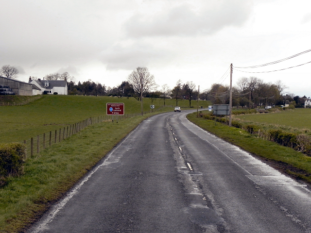
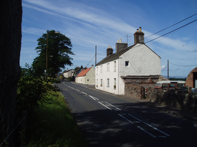
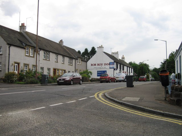
Arngibbon Glen Images
Images are sourced within 2km of 56.113305/-4.253156 or Grid Reference NS5993. Thanks to Geograph Open Source API. All images are credited.
Arngibbon Glen is located at Grid Ref: NS5993 (Lat: 56.113305, Lng: -4.253156)
Unitary Authority: Stirling
Police Authority: Forth Valley
What 3 Words
///zaps.given.crackles. Near Kippen, Stirling
Nearby Locations
Related Wikis

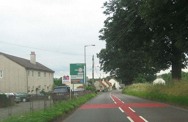
A811 road
The A811 is a road in central Scotland. It runs from Stirling to Balloch. == Route == The road starts off in the centre of Stirling, at the Craigs Roundabout...
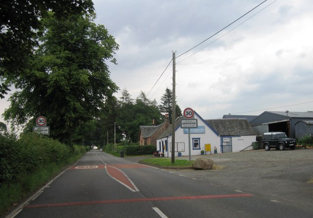
Arnprior, Stirling
Arnprior is a hamlet in the Stirling council area of Scotland on the A811 about 12 miles west of Stirling and is one of the smallest community council...
Buchlyvie
Buchlyvie is a village in the Stirling council area of Scotland. It is situated 14 miles (23 km) west of Stirling and 18 miles (29 km) north of Glasgow...

Port of Menteith railway station
Port of Menteith railway station served the village of Port of Menteith, Stirling, Scotland, from 1856 by 1934 on the Forth and Clyde Junction Railway...
Have you been to Arngibbon Glen?
Leave your review of Arngibbon Glen below (or comments, questions and feedback).