Cwm Eliza Morris
Valley in Carmarthenshire
Wales
Cwm Eliza Morris
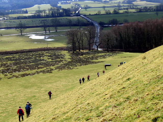
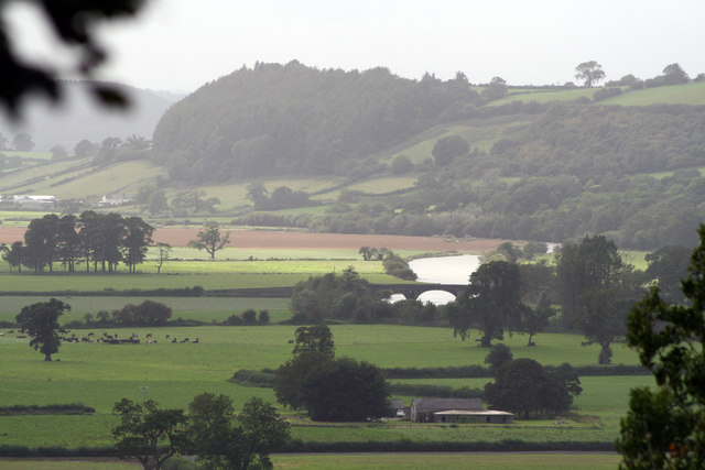
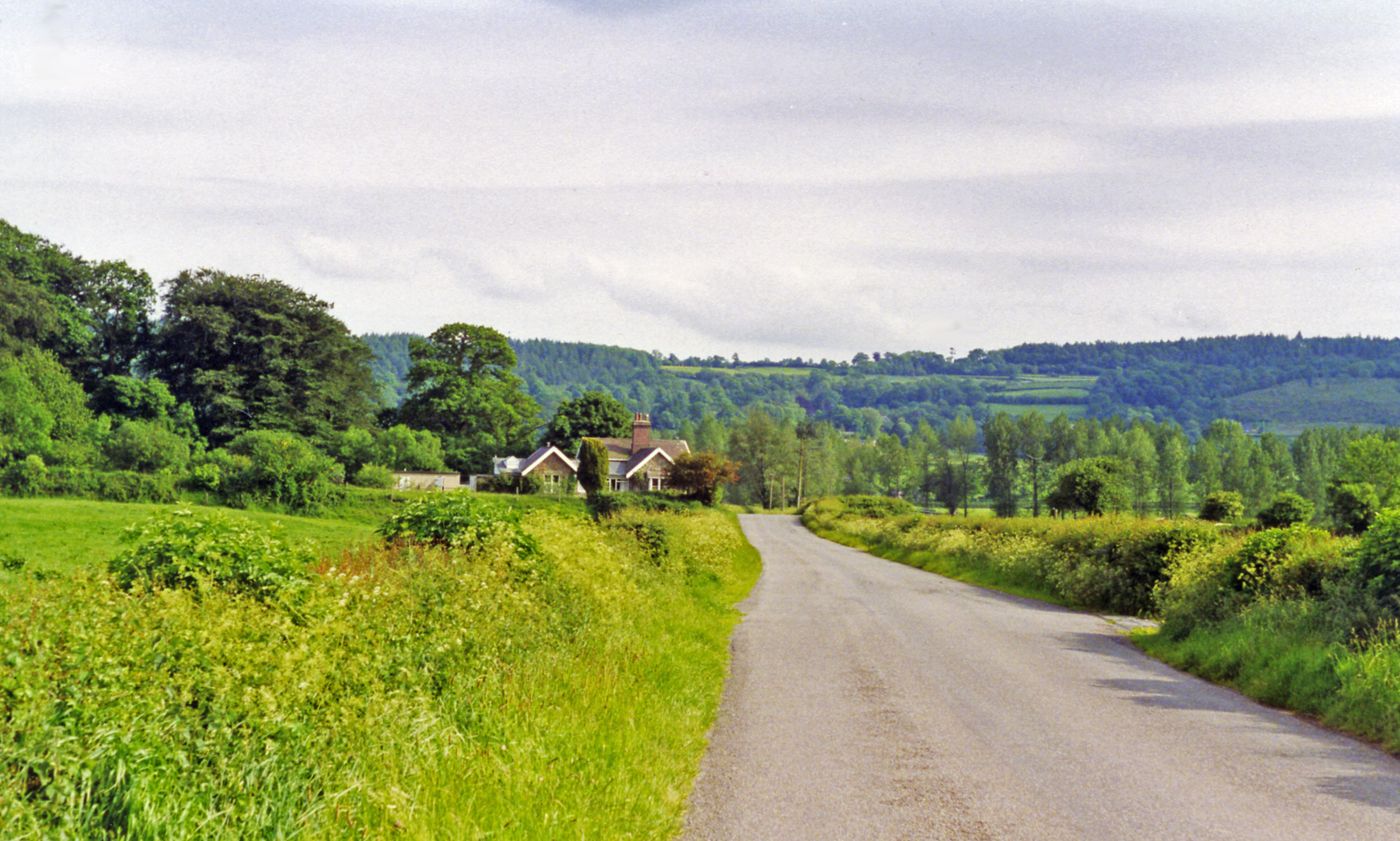
Cwm Eliza Morris is a picturesque valley located in Carmarthenshire, Wales. Situated in the heart of the countryside, this scenic area offers breathtaking views and a tranquil atmosphere. The valley is surrounded by rolling hills and lush green landscapes, making it a popular destination for nature lovers and outdoor enthusiasts.
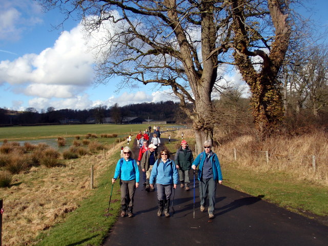
One of the standout features of Cwm Eliza Morris is the River Tywi, which runs through the valley. This river is known for its crystal-clear waters and is a haven for various species of fish, making it a popular spot for fishing enthusiasts. The river also provides a beautiful backdrop for picnics and leisurely walks along its banks.
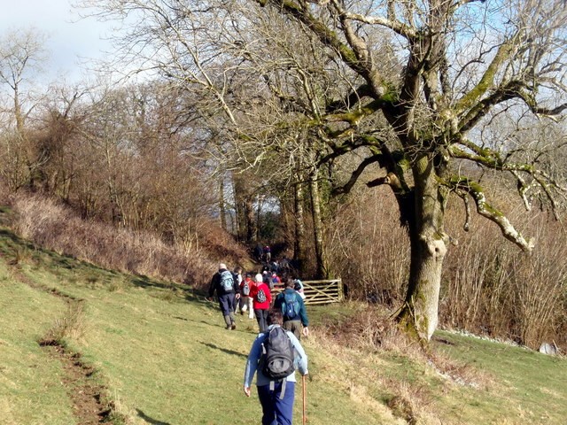
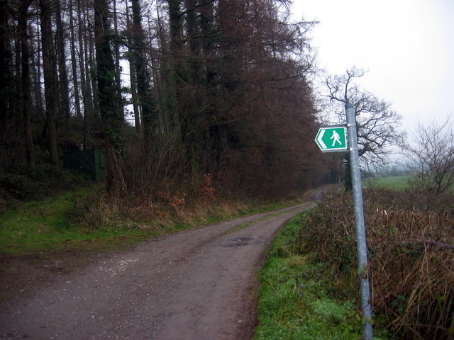
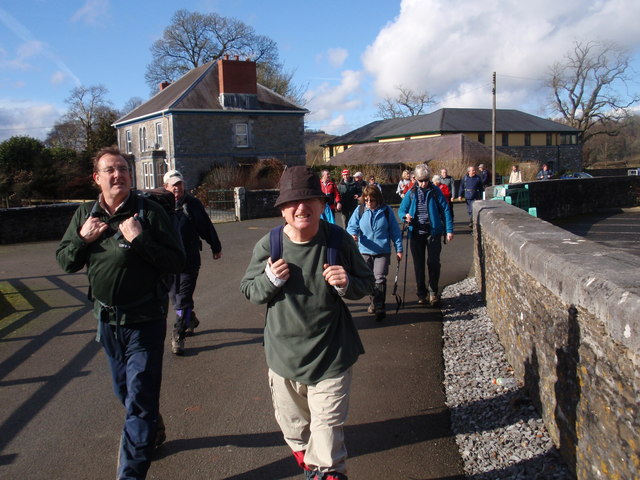
The valley is also home to several walking trails and hiking routes, offering visitors the opportunity to explore the stunning scenery and immerse themselves in nature. From easy paths suitable for families to more challenging trails for experienced hikers, there is something for everyone in Cwm Eliza Morris.
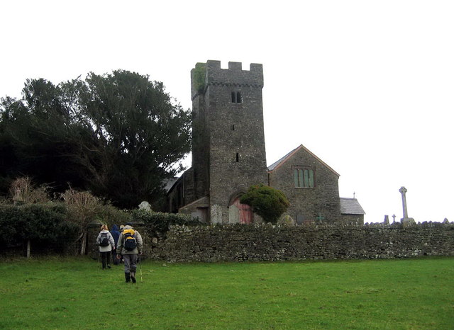
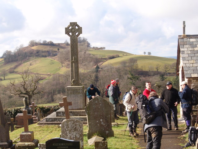
In addition to its natural beauty, Cwm Eliza Morris has a rich history and cultural heritage. There are several historic sites and landmarks in the area, including ancient burial mounds and standing stones, which provide a glimpse into the valley's past.
Overall, Cwm Eliza Morris is a hidden gem in Carmarthenshire, offering visitors a chance to escape the hustle and bustle of city life and immerse themselves in the beauty of the Welsh countryside. Whether you're seeking outdoor adventures or simply a peaceful retreat, this valley has something to offer for everyone.
If you have any feedback on the listing, please let us know in the comments section below.
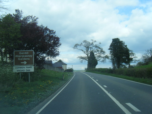
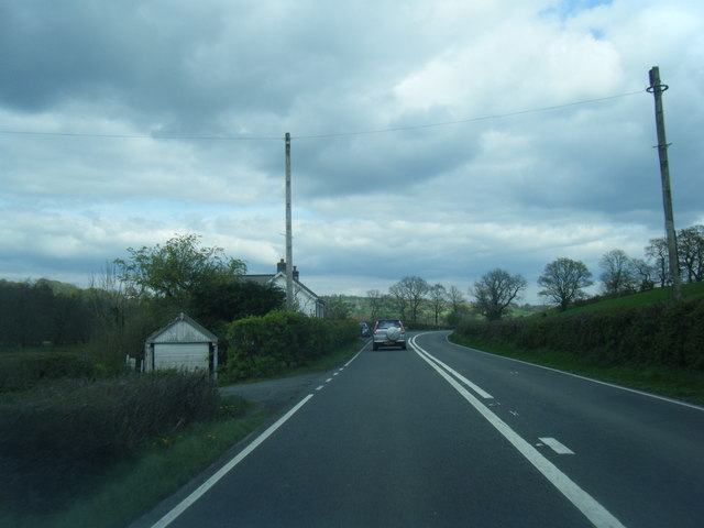
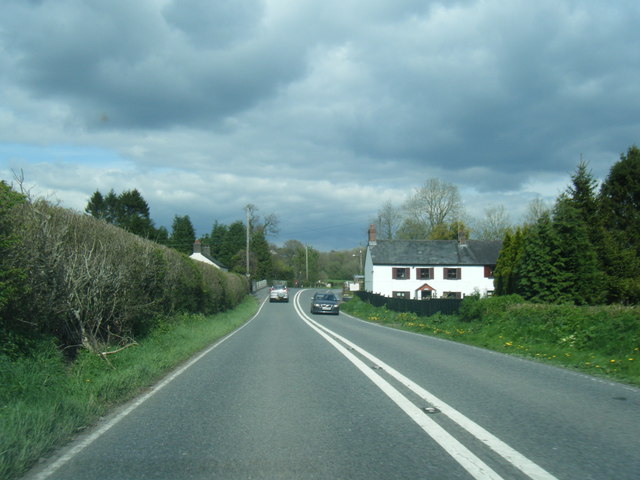
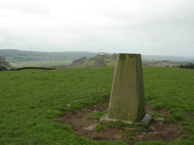
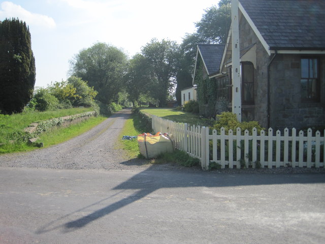
Cwm Eliza Morris Images
Images are sourced within 2km of 51.884617/-4.0444728 or Grid Reference SN5922. Thanks to Geograph Open Source API. All images are credited.


Cwm Eliza Morris is located at Grid Ref: SN5922 (Lat: 51.884617, Lng: -4.0444728)
Unitary Authority: Carmarthenshire
Police Authority: Dyfed Powys
What 3 Words
///mows.capacity.explain. Near Llangathen, Carmarthenshire
Nearby Locations
Related Wikis
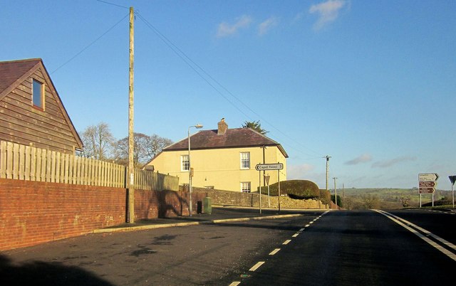
Llangathen
Llangathen () is a village and community located in Carmarthenshire, Wales. The population taken at the 2011 census was 507.The parish church of St Cathen...

Birdshill Quarry
Birdshill Quarry is a Site of Special Scientific Interest (SSSI) in Carmarthenshire, Wales. == SSSI == Birdshill Quarry SSSI is located approximately 1...
Cathinog Hundred
Cathinog (also spelt Catheiniog, Cetheiniog) was a hundred, a geographic division, in the traditional county of Carmarthenshire, Wales. Its name derives...

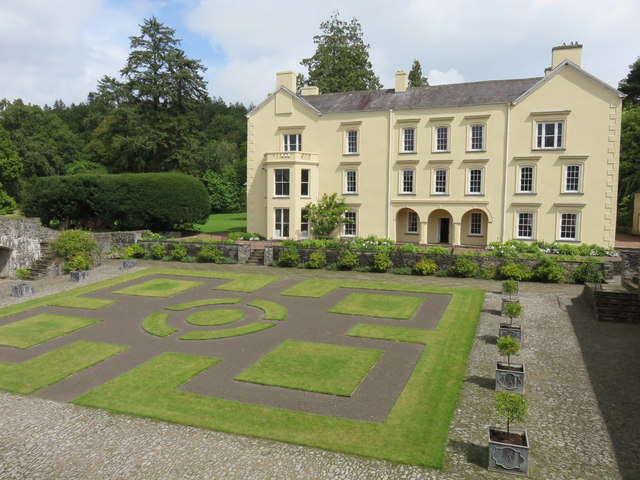
Aberglasney
Aberglasney House and Gardens is a medieval house and gardens set in the Tywi valley in the parish of Llangathen, Carmarthenshire, West Wales. It is owned...
Battle of Cadfan
The Battle of Cadfan was fought between English and Welsh forces in 1257. The battle consisted of two military engagements; one at Coed Llathen and the...

Golden Grove railway station
Golden Grove railway station served the estate of Golden Grove, Carmarthenshire, Wales from 1865 to 1963 on the Llanelly Railway. == History == The station...
Allt y wern
Allt y Wern is a Site of Special Scientific Interest (SSSI) in the community of Llangathen in Carmarthenshire, Wales. The site is a semi-natural broadleaved...
Ffynnon-ddrain
Ffynnon-ddrain is a settlement in Carmarthenshire, Wales, one mile north-west of the town of Carmarthen, 24 miles north-west of the major city of Swansea...
Have you been to Cwm Eliza Morris?
Leave your review of Cwm Eliza Morris below (or comments, questions and feedback).