Boquhan Glen

Valley in Stirlingshire

Scotland

Boquhan Glen

River Endrick A walk along the Endrick on a Sunday Afternoon
River Endrick Credit: richard newall

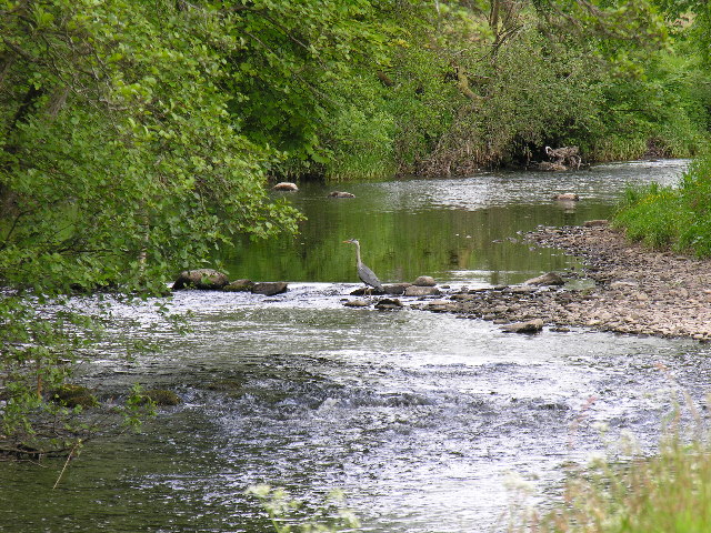
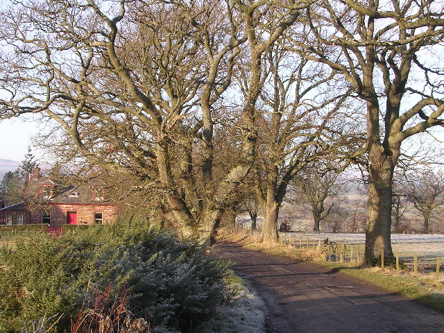
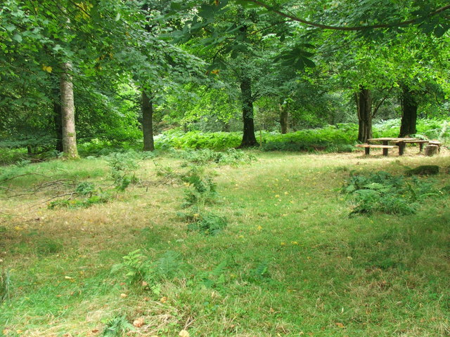
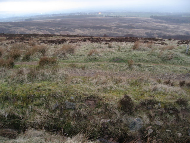
Boquhan Glen is a picturesque valley located in Stirlingshire, Scotland. The glen is known for its lush greenery, towering trees, and tranquil atmosphere, making it a popular destination for nature lovers and hikers. The valley is home to a variety of wildlife, including deer, birds, and other small mammals.

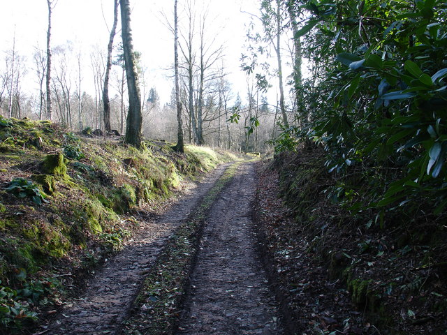
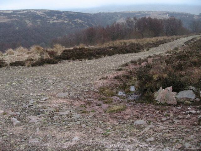
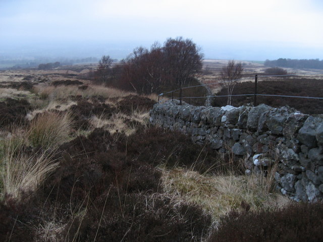
Boquhan Glen is crisscrossed by a network of walking trails that wind through the dense woodland, providing visitors with the opportunity to explore the natural beauty of the area. The trails offer stunning views of the surrounding countryside, with the meandering River Forth adding to the scenic allure of the valley.

In addition to its natural beauty, Boquhan Glen also has a rich history, with evidence of ancient settlements and structures scattered throughout the area. Visitors can learn about the valley's past by exploring these archaeological sites and landmarks.

Overall, Boquhan Glen is a peaceful and enchanting destination that offers visitors the chance to connect with nature and experience the beauty of the Scottish countryside.

If you have any feedback on the listing, please let us know in the comments section below.
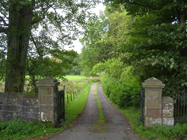
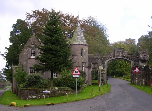
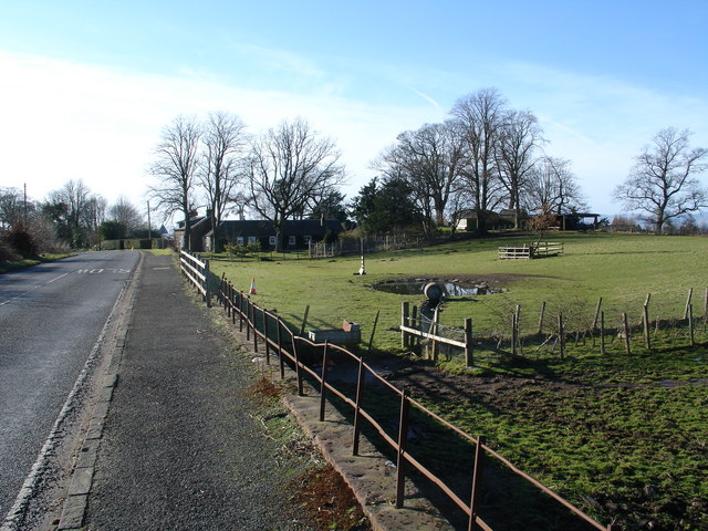
Boquhan Glen Images

Images are sourced within 2km of 56.052389/-4.3353778 or Grid Reference NS5486. Thanks to Geograph Open Source API. All images are credited.

River Endrick A walk along the Endrick on a Sunday Afternoon
River Endrick
A walk along the Endrick on a Sunday Afternoon
Home Farm Cottage, near Boquhan
Balfron Bowling Club
Balfron Bungaloid close on the eastern side of Balfron.
Balfron
Bungaloid close on the eastern side of Balfron.
Driveway to Boquhan Old House
Entrance to Ballikinrain Castle School
Rennie's Campsite - Ballikinrain Now just a rutted track, within the grounds of Ballikinrain Castle School, between 1950-1974 this land was used as a tourist caravan and camping site, complete with site shop and outside swimming pool. Evidence of the pool - which was fed by Campsie spring water - can still be seen, however scrub has reclaimed the land and after 50-odd years, nobody will remember what was once there.
Rennie's Campsite - Ballikinrain
Now just a rutted track, within the grounds of Ballikinrain Castle School, between 1950-1974 this land was used as a tourist caravan and camping site, complete with site shop and outside swimming pool. Evidence of the pool - which was fed by Campsie spring water - can still be seen, however scrub has reclaimed the land and after 50-odd years, nobody will remember what was once there.
Heron's Court
Heron's Court
Katrine Aqueduct at Killearn These four nondescript trapdoors near the main road contain a secret, one that doesn't even appear on the OS map. These service hatches provide access to the underground aqueduct that provides Glasgow's water supply - from Loch Katrine, to Milngavie Water Works. The aqueduct was opened by Queen Victoria at the turn of the century, and was a major engineering feat with most of the work (and route) being invisible (unless you knew where to look).  The next access to the aqueduct southwards is within the village of Blanefield.
Katrine Aqueduct at Killearn
These four nondescript trapdoors near the main road contain a secret, one that doesn't even appear on the OS map. These service hatches provide access to the underground aqueduct that provides Glasgow's water supply - from Loch Katrine, to Milngavie Water Works. The aqueduct was opened by Queen Victoria at the turn of the century, and was a major engineering feat with most of the work (and route) being invisible (unless you knew where to look). The next access to the aqueduct southwards is within the village of Blanefield.
Auchenibert Lane Looking northwest
Auchenibert Lane
Looking northwest
Ballikinrain
Ballikinrain
Forest School Site This was an area within the grounds that we chose for our forest school site.  The picture was taken in Aug 06 before we began to use the area.
Forest School Site
This was an area within the grounds that we chose for our forest school site. The picture was taken in Aug 06 before we began to use the area.
Track and woodland at the edge of Machar Glen
Wall at a stream crossing in rough moorland
Track above the Machar Burn
Woodland edge, Boquhan A ditch leaves a waterlogged field and enters a small wood. It was too dark to photograph within the beech wood.
Woodland edge, Boquhan
A ditch leaves a waterlogged field and enters a small wood. It was too dark to photograph within the beech wood.
Farmland by Boquhan Sheep grazing amongst old beeches. Cloud is lifting from the Campsie Fells after a spell of rain.
Farmland by Boquhan
Sheep grazing amongst old beeches. Cloud is lifting from the Campsie Fells after a spell of rain.
Endrick Water from Endrick Bridge
Show me another place!

Boquhan Glen is located at Grid Ref: NS5486 (Lat: 56.052389, Lng: -4.3353778)

Unitary Authority: Stirling

Police Authority: Forth Valley

What 3 Words

///dripping.neutron.according. Near Balfron, Stirling

Nearby Locations

Boquhan Glen

Related Wikis

Boquhan

Boquhan (pronounced Bowhan) is a hamlet in Stirling, Scotland, sometimes known as Wester Boquhan to distinguish it from the other nearby Boquhan, near...
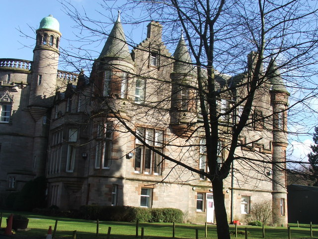
Ballikinrain

Ballikinrain is an independent residential school in Stirling, central Scotland. It is run by CrossReach, a social care outreach arm of the Church of Scotland...

Balfron

Balfron (Scottish Gaelic: Both Fron) is a village in the Stirling council area of Scotland. It is situated near Endrick Water on the A875 road, 18 miles...

Balfron High School

Balfron High School is a secondary school situated in the village of Balfron, approximately 18 miles (29 km) west of Stirling and 16 miles (26 km) north...

Nearby Amenities

Located within 500m of 56.052389,-4.3353778
Power: pole
Lat/Long: 56.0526522/-4.3419755
Power: pole
Lat/Long: 56.053179/-4.3428436
The data included in this document is from www.openstreetmap.org. The data is made available under ODbL.

Have you been to Boquhan Glen?

Leave your review of Boquhan Glen below (or comments, questions and feedback).