Coire an Eich

Valley in Inverness-shire

Scotland

Coire an Eich

Sronlairig Lodge Abandoned shooting lodge built for Lord Lovat in 1903.
Sronlairig Lodge Credit: C A Millar

Coire an Eich is a stunning valley located in Inverness-shire, Scotland. Situated in the northern part of the country, it is recognized for its breathtaking natural beauty and unique geological features.

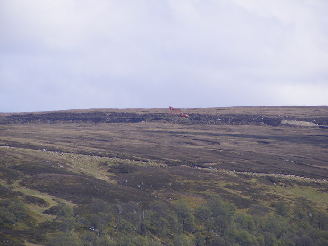
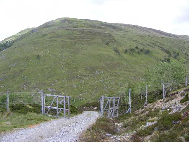
The valley is nestled within the Scottish Highlands, surrounded by majestic mountains and lush greenery. It is a popular destination for outdoor enthusiasts, particularly hikers and climbers, who are drawn to its challenging trails and rugged terrain. Coire an Eich offers a variety of routes for all skill levels, allowing visitors to explore the valley and its surroundings at their own pace.

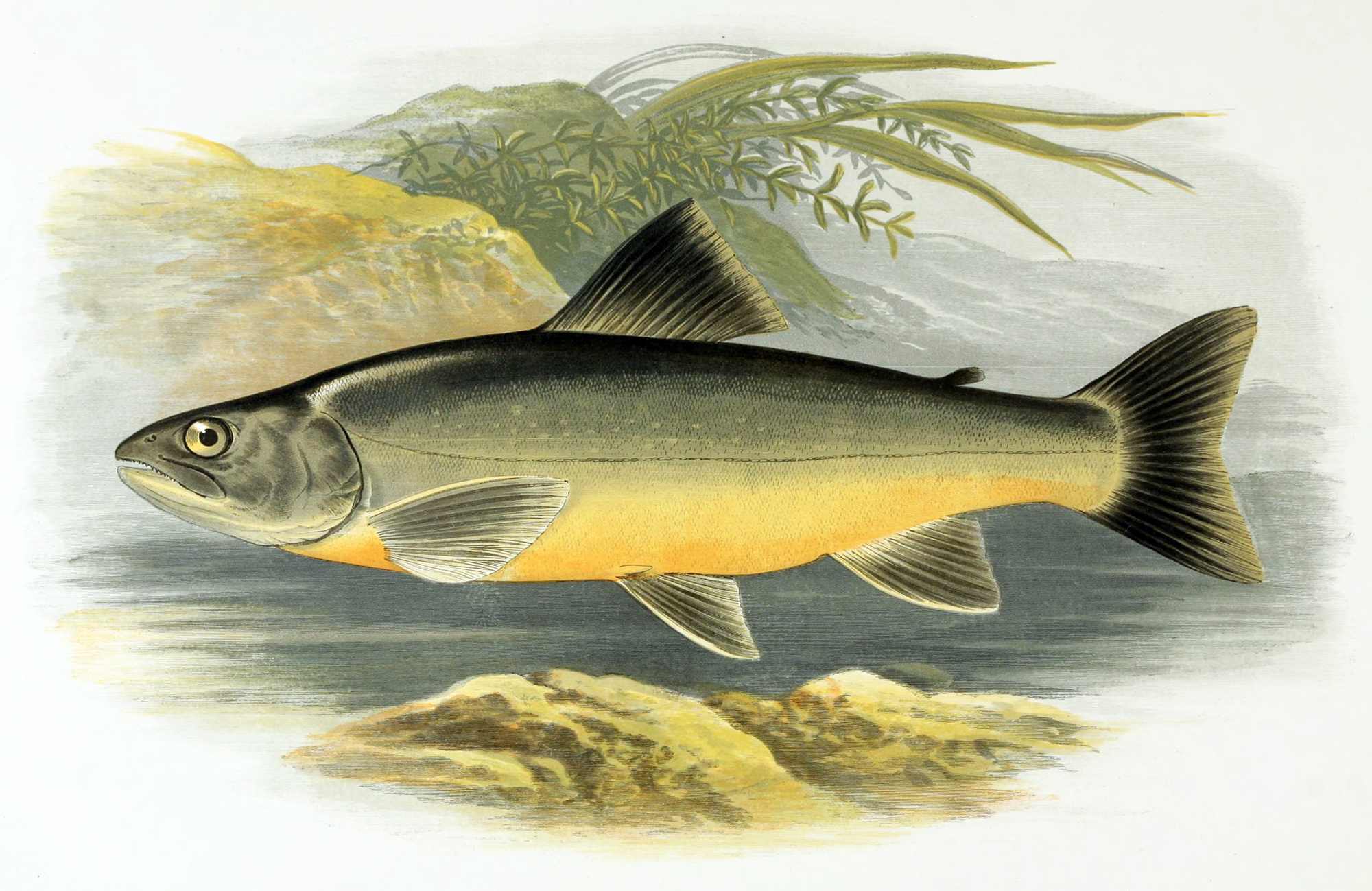
One of the highlights of Coire an Eich is its picturesque loch, which adds to the charm of the landscape. The tranquil waters reflect the surrounding mountains, creating a serene and idyllic atmosphere. The loch is also home to a diverse range of wildlife, including various bird species and aquatic animals, making it a haven for nature lovers and birdwatchers.

In addition to its natural beauty, Coire an Eich is steeped in history and folklore. Local legends recount tales of mythical creatures and ancient battles that took place in the valley. Visitors can delve into the past by exploring the ruins of old settlements and structures scattered throughout the area.

Overall, Coire an Eich offers a captivating blend of natural wonders and cultural heritage. Its stunning vistas, challenging trails, and rich history make it a must-visit destination for those seeking an authentic Scottish experience in the heart of Inverness-shire.

If you have any feedback on the listing, please let us know in the comments section below.

Coire an Eich Images

Images are sourced within 2km of 57.119844/-4.4024474 or Grid Reference NH5405. Thanks to Geograph Open Source API. All images are credited.

Sronlairig Lodge Abandoned shooting lodge built for Lord Lovat in 1903.
Sronlairig Lodge
Abandoned shooting lodge built for Lord Lovat in 1903.
Confluence of Glenmarkie Burn and Allt Cam Ban
Allt Coire an Eich from across Meall nan Ruadhag Allt Cam Bàn goes behind beginning of shoulder of An Stoanaig with Glen Markie behind it.
Allt Coire an Eich from across Meall nan Ruadhag
Allt Cam Bàn goes behind beginning of shoulder of An Stoanaig with Glen Markie behind it.
Track to Stronelairg lodge Track has Carn a' Choire Ghlaise on left and River Killin on right. Plantation can be seen on right
Track to Stronelairg lodge
Track has Carn a' Choire Ghlaise on left and River Killin on right. Plantation can be seen on right
Track with Stronelairg Lodge in Distance Although three glens meet there are four tracks meeting, tracks from Garrogie lodge, Glen Markie, Coire an Eich, and Allt Odhar.
Track with Stronelairg Lodge in Distance
Although three glens meet there are four tracks meeting, tracks from Garrogie lodge, Glen Markie, Coire an Eich, and Allt Odhar.
Track Above Coire an Eich The photo was taken from the edge of Carn Dubh. The track starts or ends at Stronelairg Lodge and goes onto plateau and Hydro Scheme.
Track Above Coire an Eich
The photo was taken from the edge of Carn Dubh. The track starts or ends at Stronelairg Lodge and goes onto plateau and Hydro Scheme.
Track above Coire an Eich from near Stronelairg Lodge
Entrance to Stronelairg Lodge After crossing bridge across Glen Markie burn, go through gate and cross another bridge on left to reach Allt Odhar path.
Entrance to Stronelairg Lodge
After crossing bridge across Glen Markie burn, go through gate and cross another bridge on left to reach Allt Odhar path.
Plantation Near Stronelairg Lodge Track can be seen across plantation
Plantation Near Stronelairg Lodge
Track can be seen across plantation
Stronelairg Lodge and outbuildings Allt Odhar can be seen on right. Track up Coire an Eich at right angles to Allt Odhar. Stronelairg Lodge and outbuildings in middle.  Carn a' Choire Ghlaise in background.
Stronelairg Lodge and outbuildings
Allt Odhar can be seen on right. Track up Coire an Eich at right angles to Allt Odhar. Stronelairg Lodge and outbuildings in middle. Carn a' Choire Ghlaise in background.
Red Burn Coming Down Carn na Saobhaidhe There are 3 burns coming down to meet Allt Odhar just past End of electrified fence.  The 3rd and largest is the Red bun
Red Burn Coming Down Carn na Saobhaidhe
There are 3 burns coming down to meet Allt Odhar just past End of electrified fence. The 3rd and largest is the Red bun
Northern Slopes of Carn na Saobhaidhe Taken from Allt Odhar path with 3 burns joining Allt burn
Northern Slopes of Carn na Saobhaidhe
Taken from Allt Odhar path with 3 burns joining Allt burn
Shooting Range on Carn na Saobhaidhe These white targets? go right up and over the hill and can be seen for miles.  they cross several tributaries of Allt Odhar.
Shooting Range on Carn na Saobhaidhe
These white targets? go right up and over the hill and can be seen for miles. they cross several tributaries of Allt Odhar.
Digger on Meallon Odhar The digger seemed to be building new Hydro works on road above one coming from Stronelairg Lodge up Coire an Eich. Tree lined Allt Coire an Eich can be seen in foreground, Coire an Eich road above then new road with digger.
Digger on Meallon Odhar
The digger seemed to be building new Hydro works on road above one coming from Stronelairg Lodge up Coire an Eich. Tree lined Allt Coire an Eich can be seen in foreground, Coire an Eich road above then new road with digger.
Aerial Beside Track This aerial was across a deep peat hag which fell sharply down to Coire an Eich
Aerial Beside Track
This aerial was across a deep peat hag which fell sharply down to Coire an Eich
Gates across track These were the second set of gates on track.  Both sets were open although other gates not on track were locked.  Carn a' Choire Ghlaise can be seen across Glen Markie
Gates across track
These were the second set of gates on track. Both sets were open although other gates not on track were locked. Carn a' Choire Ghlaise can be seen across Glen Markie
Coire an Eich and Hydro Road Coire an Eich comes up to near road as road goes down.  Photo taken from high point of road.
Coire an Eich and Hydro Road
Coire an Eich comes up to near road as road goes down. Photo taken from high point of road.
Foot Bridge Across Allt Coire an Eich Footbridge is next to ford.  You can see it from the track leading to ford.
Foot Bridge Across Allt Coire an Eich
Footbridge is next to ford. You can see it from the track leading to ford.
Show me another place!

Coire an Eich is located at Grid Ref: NH5405 (Lat: 57.119844, Lng: -4.4024474)

Unitary Authority: Highland

Police Authority: Highlands and Islands

What 3 Words

///elbowed.stickler.meanwhile. Near Newtonmore, Highland

Nearby Locations

Coire an Eich

Related Wikis

Loch Killin

Loch Killin is a small freshwater loch in the Monadhliath Mountains, in Highland, Scotland, United Kingdom. == Geography == The loch is about 1.2 miles...

Càrn Dearg, Monadh Liath

Càrn Dearg is the highest peak of the Monadh Liath mountains in the Highlands of Scotland. Its eastern flanks slope steeply down into Glen Ballach, while...

Glendoe Hydro Scheme

The Glendoe Hydro Scheme for the generation of hydro-electric power is located in the Monadhliath Mountains near Fort Augustus, above Loch Ness in the...

Have you been to Coire an Eich?

Leave your review of Coire an Eich below (or comments, questions and feedback).