Saxifrage Gully
Valley in Caernarfonshire
Wales
Saxifrage Gully
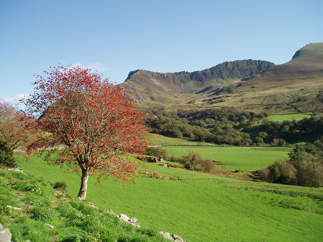
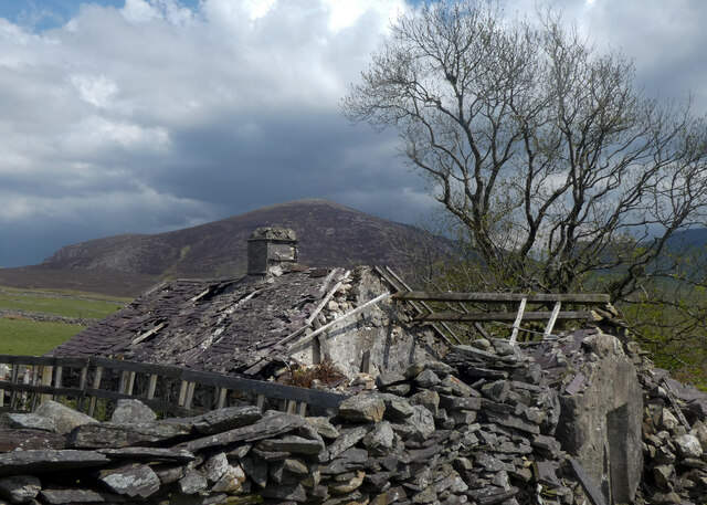
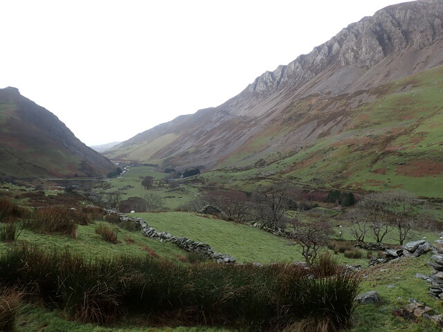
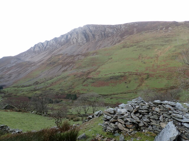
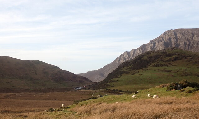
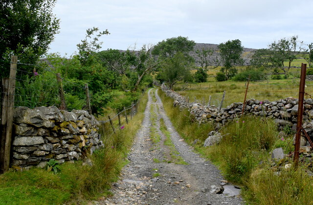
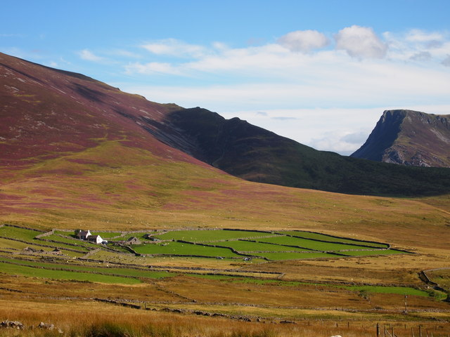
Saxifrage Gully is a picturesque valley located in the county of Caernarfonshire, Wales. Situated in the heart of Snowdonia National Park, it offers visitors breathtaking natural beauty and a peaceful escape from the bustling city life. The valley is named after the abundance of saxifrage plants that flourish in the area, adding vibrant pops of color to the landscape.
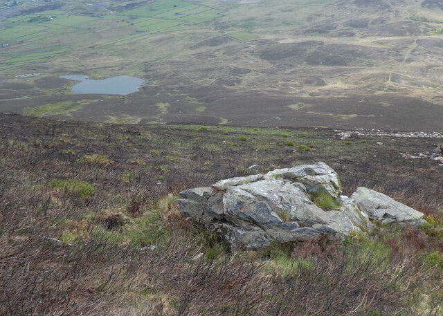
The gully is nestled between two towering mountains, creating a dramatic backdrop for outdoor enthusiasts and nature lovers. The slopes are covered in lush greenery and dotted with cascading waterfalls, creating a serene and tranquil atmosphere. The sound of the rushing water can be heard echoing through the valley, adding to its charm.
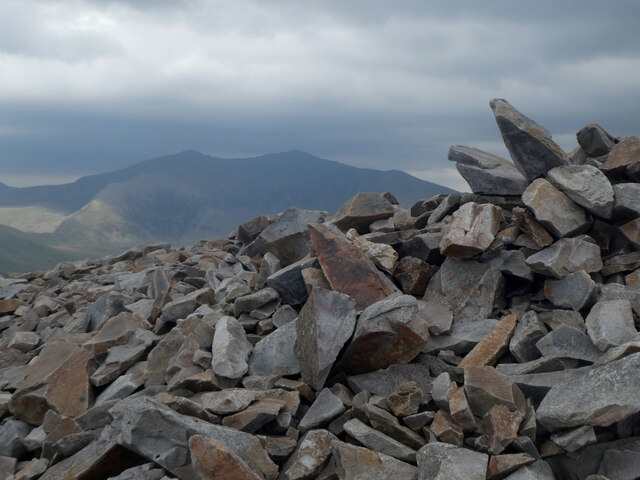
For those seeking adventure, Saxifrage Gully offers a variety of hiking trails and climbing routes. The rugged terrain provides a challenge for experienced climbers and a chance to test their skills against nature's elements. The trails vary in difficulty, catering to both novice and expert hikers.
The gully is also home to a diverse range of wildlife, including rare bird species and elusive mammals. Birdwatchers will be delighted by the opportunity to spot peregrine falcons and red kites soaring above, while nature enthusiasts can keep an eye out for otters and badgers that inhabit the area.
Overall, Saxifrage Gully is a hidden gem in Caernarfonshire, offering visitors a chance to immerse themselves in the beauty of nature. Whether it's a leisurely hike, a challenging climb, or simply a moment of tranquility, this valley has something to offer for everyone.
If you have any feedback on the listing, please let us know in the comments section below.
Saxifrage Gully Images
Images are sourced within 2km of 53.07285/-4.1861877 or Grid Reference SH5355. Thanks to Geograph Open Source API. All images are credited.
![Old Milestone, B4418, Drws-y-Coed In the wall on the Northern side of the road. Slate. Erected by the Old Caernarvonshire Turnpike Trust.
Inscription: To / Pen y Groe[s] / 5 M / Rhyd Dd[u] [2]
Milestone Society National ID: CAE_PGRH05](https://s2.geograph.org.uk/geophotos/07/39/86/7398602_a6c3e34b.jpg)
Saxifrage Gully is located at Grid Ref: SH5355 (Lat: 53.07285, Lng: -4.1861877)
Unitary Authority: Gwynedd
Police Authority: North Wales
What 3 Words
///importers.rams.fees. Near Talysarn, Gwynedd
Nearby Locations
Related Wikis

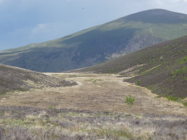
Mynydd Mawr
Mynydd Mawr (Welsh for big mountain) is a mountain in Snowdonia, North Wales, approximately 7 km (4.3 mi) west of Snowdon itself, overlooking Llyn Cwellyn...

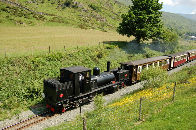
Plas-y-Nant railway station
Plas-y-Nant is an unstaffed halt on the narrow gauge Welsh Highland Railway. == History == A halt at Plas-y-Nant was first used in the 1920s but closed...

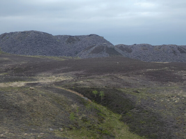
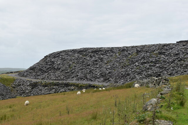
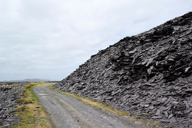
Alexandra quarry
Alexandra quarry was a slate quarry in North Wales, on the slopes of Moel Tryfan in north Gwynedd. It was part of one of the major slate quarrying regions...
Llyn Cwellyn
Llyn Cwellyn (Llyn Quellyn in some antiquated texts) is a reservoir in North Wales which supplies drinking water to parts of Gwynedd and Anglesey. It lies...

Moel Tryfan
Moel Tryfan (429 m / 1407 ft) is a small mountain near the villages of Rhosgadfan, Y Fron and Betws Garmon, in northern Gwynedd. The higher and more famous...

Betws Garmon
Betws Garmon is a community and small hamlet outside Waunfawr and near Beddgelert in Gwynedd, Wales. It has a population of 249.The summit of Snowdon...
Ysgol Bronyfoel
Ysgol Bronyfoel was a Welsh daily co-educational primary school. The school was situated in the centre of the village Y Fron, Gwynedd, North Wales. It...

Snowdon Ranger railway station
Snowdon Ranger is a station on the narrow gauge Welsh Highland Railway, which was built in 1878 as the North Wales Narrow Gauge Railways Moel Tryfan Undertaking...
Nearby Amenities
Located within 500m of 53.07285,-4.1861877Have you been to Saxifrage Gully?
Leave your review of Saxifrage Gully below (or comments, questions and feedback).