Ledard Glen

Valley in Perthshire

Scotland

Ledard Glen

Ledard Burn On the hottest September day for 115 years it was a welcome spot to stop and fill water bottles crossing the Ledard Burn. Looking to Beinn Bhreac.
Ledard Burn Credit: Adam Ward

Ledard Glen is a picturesque valley located in Perthshire, Scotland. Situated near the village of Balquhidder, the glen offers stunning natural beauty and a tranquil environment for visitors to enjoy.

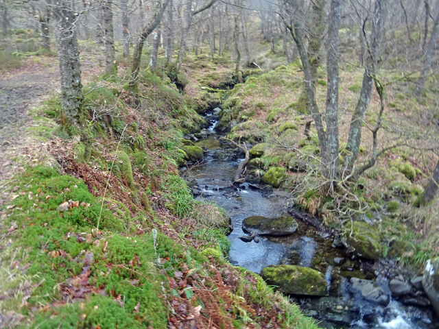
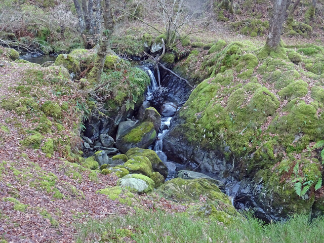
The glen is characterized by its lush greenery, rolling hills, and crystal-clear streams that meander through the valley. It is home to a variety of plant and animal species, making it an ideal destination for nature enthusiasts and wildlife lovers. The glen's diverse ecosystem includes oak woodlands, heather moors, and vibrant wildflower meadows, providing a habitat for birds, mammals, and insects.

Ledard Glen is also known for its rich history and cultural significance. The glen is believed to have been inhabited since prehistoric times, and there are several ancient sites and ruins scattered throughout the area. One notable landmark is the Ledard Stone Circle, a Neolithic monument consisting of several standing stones arranged in a circular pattern.

The glen offers numerous recreational activities for visitors to enjoy. Hiking and walking trails crisscross the area, allowing visitors to explore the natural beauty at their own pace. The glen is also a popular spot for birdwatching, fishing, and picnicking.

Overall, Ledard Glen is a hidden gem in Perthshire, providing a peaceful retreat for those seeking to escape the hustle and bustle of everyday life. With its scenic vistas, diverse wildlife, and historical significance, it is a must-visit destination for nature lovers and history enthusiasts alike.

If you have any feedback on the listing, please let us know in the comments section below.
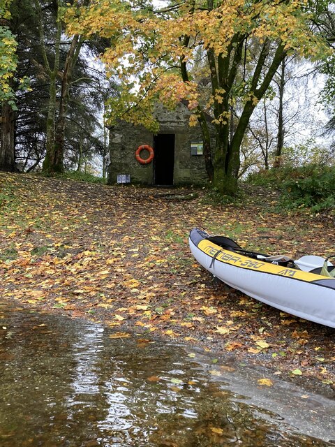
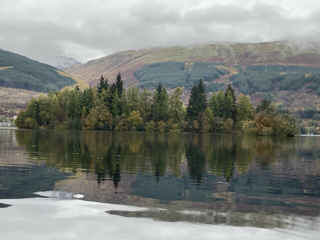
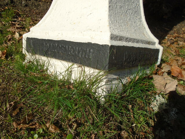
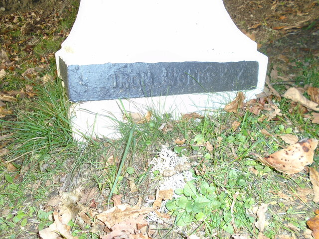
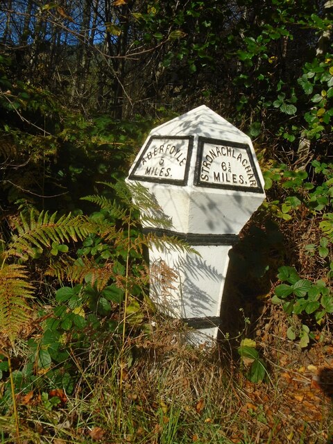
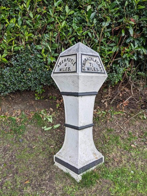
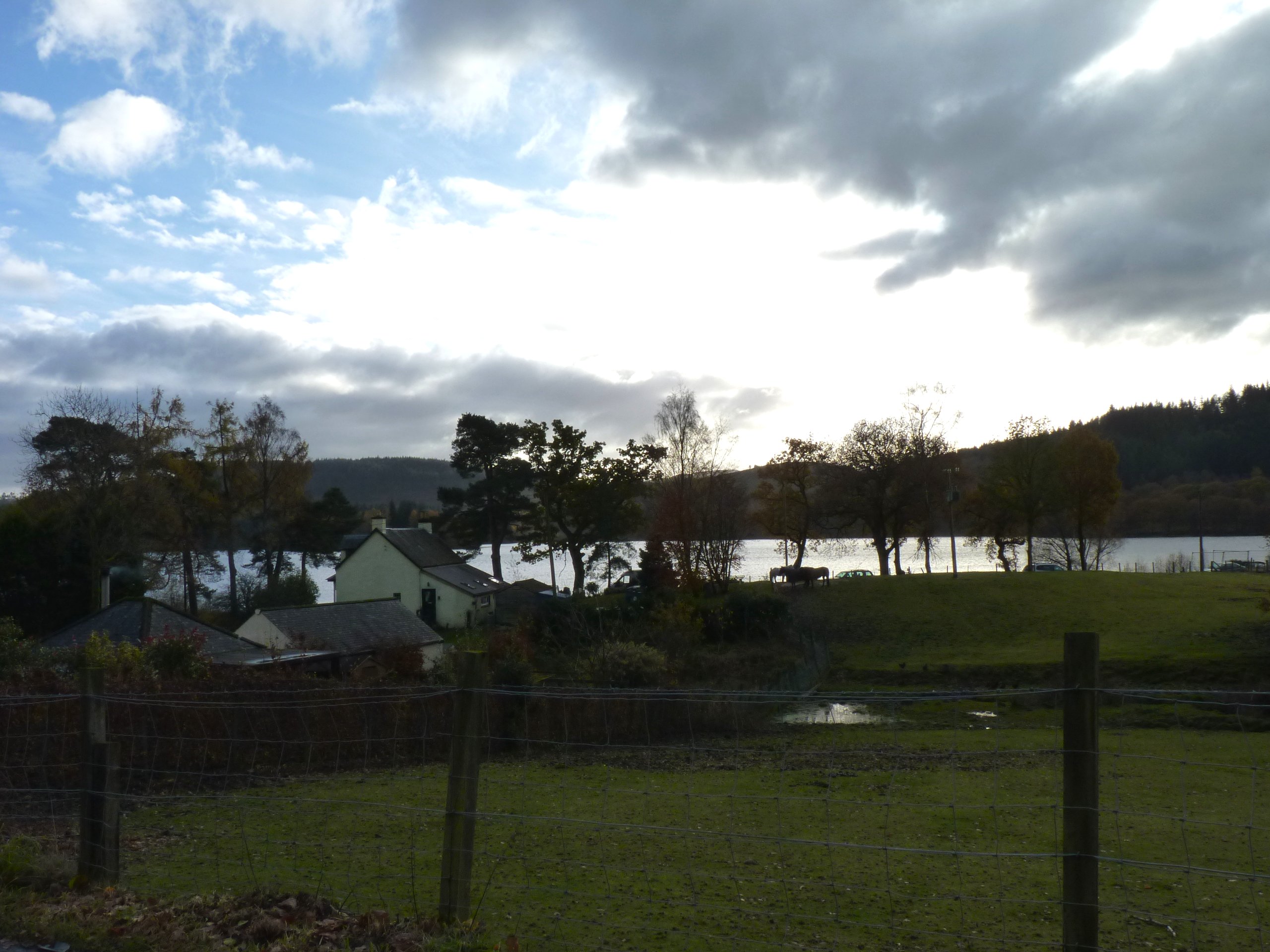
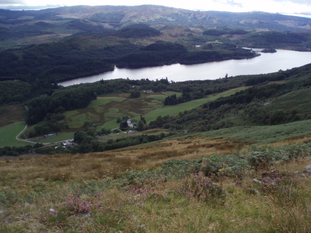
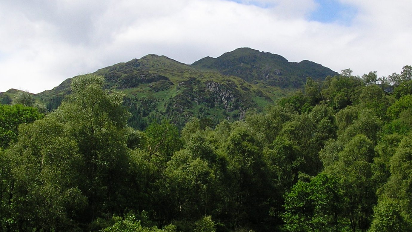
Ledard Glen Images

Images are sourced within 2km of 56.198169/-4.4853119 or Grid Reference NN4503. Thanks to Geograph Open Source API. All images are credited.

Ledard Burn On the hottest September day for 115 years it was a welcome spot to stop and fill water bottles crossing the Ledard Burn. Looking to Beinn Bhreac.
Ledard Burn
On the hottest September day for 115 years it was a welcome spot to stop and fill water bottles crossing the Ledard Burn. Looking to Beinn Bhreac.
Eilean Gorm island bothy, Loch Ard, The Trossachs A bothy upon a lake island- visits and stays are allowed.
Eilean Gorm island bothy, Loch Ard, The Trossachs
A bothy upon a lake island- visits and stays are allowed.
Eilean Gorm, Loch Ard, The Trossachs Looking north north east, from a kayak, at the lake island of Eilean Gorm.
Eilean Gorm, Loch Ard, The Trossachs
Looking north north east, from a kayak, at the lake island of Eilean Gorm.
Old milepost On the B829, the 4 miles from Aberfoyle milepost is on the verge in front of a hotel and is well maintained.   This picture shows the makers name each side of the base, GRANGEMOUTH on the left side, IRONWORKS on the right.
Old milepost
On the B829, the 4 miles from Aberfoyle milepost is on the verge in front of a hotel and is well maintained. This picture shows the makers name each side of the base, GRANGEMOUTH on the left side, IRONWORKS on the right.
Old milepost IRONWORKS 4 can be seen on the right-hand side of the base of the milepost 4 miles from Aberfoyle along the B829.  The original Grangemouth Ironworks was operational from 1884-1900.
Old milepost
IRONWORKS 4 can be seen on the right-hand side of the base of the milepost 4 miles from Aberfoyle along the B829. The original Grangemouth Ironworks was operational from 1884-1900.
Old milepost The 5 mile post on the north side of the B829 has been well maintained although now leaning slightly.  It is another of the original Grangemouth Ironworks castings.  It is thought that the posts along this road were erected for the visit of Queen Victoria in the 1890s.
Old milepost
The 5 mile post on the north side of the B829 has been well maintained although now leaning slightly. It is another of the original Grangemouth Ironworks castings. It is thought that the posts along this road were erected for the visit of Queen Victoria in the 1890s.
Ledard Burn, Winter Taken from a similar position as this photograph here:- <a title="https://www.geograph.org.uk/photo/6145723" href="https://www.geograph.org.uk/photo/6145723">Link</a> taken in spring nearly 3 years ago. Less vegetation and therefore more muted colours are the difference. It is a lovely spot at any time of year.
Ledard Burn, Winter
Taken from a similar position as this photograph here:- Link taken in spring nearly 3 years ago. Less vegetation and therefore more muted colours are the difference. It is a lovely spot at any time of year.
Little Falls Lovely little waterfalls on the Ledard Burn near Kinlochard in the Trossachs, with Oaks and Alders surrounding the burn.
Little Falls
Lovely little waterfalls on the Ledard Burn near Kinlochard in the Trossachs, with Oaks and Alders surrounding the burn.
Road (B829) beside Loch Ard near to Forest Hills Hotel Looking south-eastward.
Road (B829) beside Loch Ard near to Forest Hills Hotel
Looking south-eastward.
Hedge-lined track giving access to Ledard Looking northward. Signage also indicates access to 'Hill Paths'.
Hedge-lined track giving access to Ledard
Looking northward. Signage also indicates access to 'Hill Paths'.
Lochard Cottages, Kinlochard Looking eastward.
Lochard Cottages, Kinlochard
Looking eastward.
Loch Ard Forest - Footpath near Blairhullichan Looking south-westward.
Loch Ard Forest - Footpath near Blairhullichan
Looking south-westward.
Old Milestone by the B829, Kinlochard, Aberfoyle parish Stirling GM by the B829, in parish of Aberfoyle (Trossachs District), Kinlochard, Forest Hills, in front of hotel.

Inscription reads:-
: ABERFOYLE / 4 / MILES. : : STRONACHLACHAR / 7¼ / MILES. : 

Category C listed by Scottish Heritage.
Reference number: LB50303 <span class="nowrap"><a title="https://portal.historicenvironment.scot/designation/LB50303" rel="nofollow ugc noopener" href="https://portal.historicenvironment.scot/designation/LB50303">Link</a><img style="margin-left:2px;" alt="External link" title="External link - shift click to open in new window" src="https://s1.geograph.org.uk/img/external.png" width="10" height="10"/></span>

Surveyed

Milestone Society National ID: ST_AFSR04
Old Milestone by the B829, Kinlochard, Aberfoyle parish
Stirling GM by the B829, in parish of Aberfoyle (Trossachs District), Kinlochard, Forest Hills, in front of hotel. Inscription reads:- : ABERFOYLE / 4 / MILES. : : STRONACHLACHAR / 7¼ / MILES. : Category C listed by Scottish Heritage. Reference number: LB50303 LinkExternal link Surveyed Milestone Society National ID: ST_AFSR04
Ledard Burn An excellent path runs from Ledard Farm on the shore of Loch Ard up the Ledard Burn to Ben Venue. The wooded section of the burn has a series of beautiful waterfalls.
Ledard Burn
An excellent path runs from Ledard Farm on the shore of Loch Ard up the Ledard Burn to Ben Venue. The wooded section of the burn has a series of beautiful waterfalls.
Forest Hills Hotel & Resort
Kinlochard Phonebox
Kinlochard Phonebox
Loch Ard Looking west along Loch Ard from Ledard.
Loch Ard
Looking west along Loch Ard from Ledard.
Ledard Burn On the path from Loch Ard up to Ben Venue.
Ledard Burn
On the path from Loch Ard up to Ben Venue.
Show me another place!

Ledard Glen is located at Grid Ref: NN4503 (Lat: 56.198169, Lng: -4.4853119)

Unitary Authority: Stirling

Police Authority: Forth Valley

What 3 Words

///flicked.upward.jukebox. Near Balfron, Stirling

Nearby Locations

Ledard Glen

Related Wikis

Kinlochard

Kinlochard is a village in Stirling, Scotland. It lies to the western end of Loch Ard. Children in Kinlochard attend Aberfoyle Primary School and eventually...

Beinn an Fhogharaidh

Beinn an Fhogharaidh is a mountain ridge, 616 metres (2,021 ft) high, in the southern Scottish Highlands near the village of Aberfoyle in Stirling council...

Loch Ard

Loch Ard (Scottish Gaelic: Loch na h-Àirde) is a loch, located in Loch Lomond and the Trossachs National Park, Stirling council area, Scotland. == Overview... ==

Ben Venue

Ben Venue (Scottish Gaelic: A' Bheinn Mheanbh) is a mountain in the Trossachs area of Scotland. The name Ben Venue is derived from the Scottish Gaelic...

Nearby Amenities

Located within 500m of 56.198169,-4.4853119
Ledard Glen
Place: locality
Lat/Long: 56.1999257/-4.4841772
The data included in this document is from www.openstreetmap.org. The data is made available under ODbL.

Have you been to Ledard Glen?

Leave your review of Ledard Glen below (or comments, questions and feedback).