Ashentree Glen

Valley in Ayrshire

Scotland

Ashentree Glen

Former post office, Rankinston
Former post office, Rankinston Credit: Humphrey Bolton

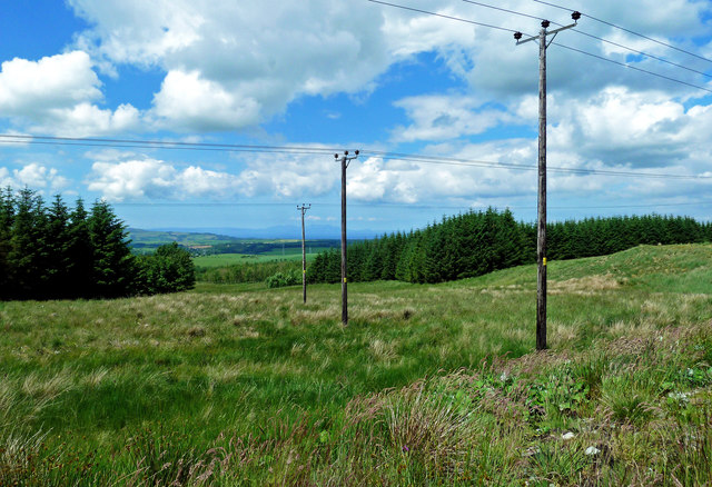
Ashentree Glen is a picturesque valley located in Ayrshire, Scotland. Nestled amidst rolling hills and lush greenery, this idyllic glen offers a tranquil escape from the hustle and bustle of city life. The name "Ashentree" is derived from the abundance of ash trees that dot the landscape, creating a serene and enchanting atmosphere.

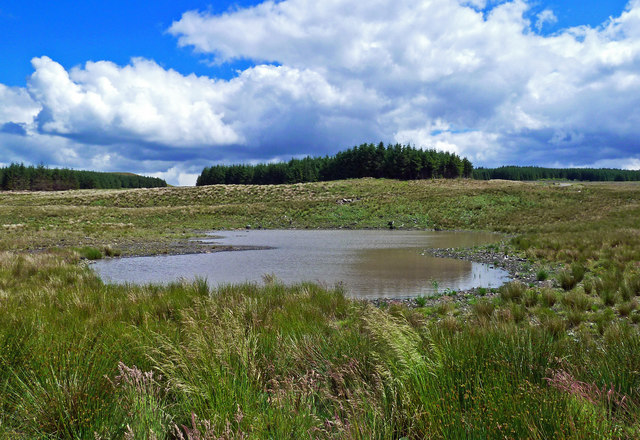
The glen stretches for approximately two miles, encompassing a diverse range of natural beauty. Its meandering river, known as the Glen Water, adds to the charm of the surroundings, providing a soothing soundtrack as it flows through the glen. The river is a haven for wildlife, attracting various species of birds, otters, and even the occasional deer.

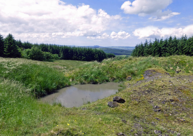
Visitors to Ashentree Glen can enjoy leisurely walks along the well-maintained pathways that wind their way through the valley. The terrain is gentle, making it accessible to people of all ages and fitness levels. Along the way, there are several picturesque spots to pause and take in the breathtaking views, including a small waterfall that cascades into a crystal-clear pool.

The glen is also home to an abundance of flora, with wildflowers carpeting the meadows during the spring and summer months. Bluebells, primroses, and orchids are just a few of the species that add bursts of color to the landscape.

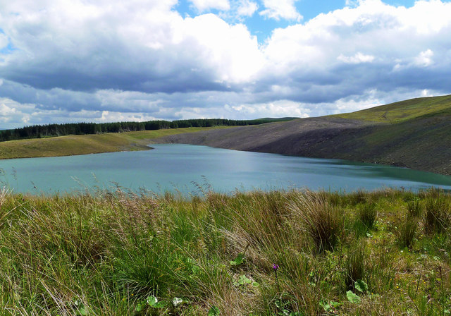
Ashentree Glen is a true hidden gem in Ayrshire, offering visitors a peaceful retreat in the heart of nature. Whether you are seeking a tranquil stroll, a picnic by the river, or simply a place to immerse yourself in the beauty of the Scottish countryside, this enchanting valley is sure to leave a lasting impression.

If you have any feedback on the listing, please let us know in the comments section below.

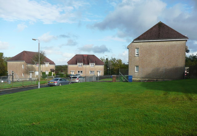
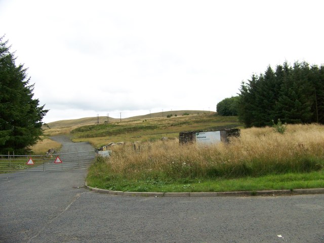
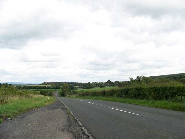
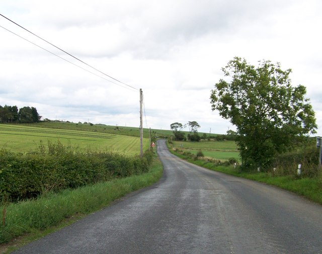
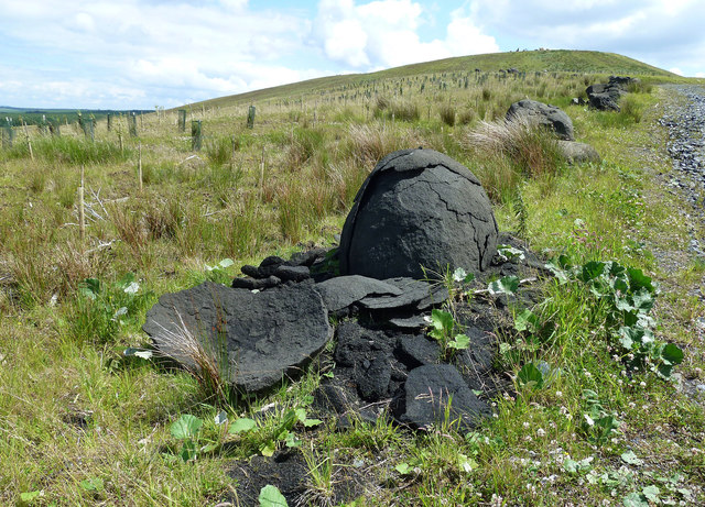
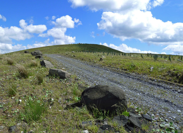
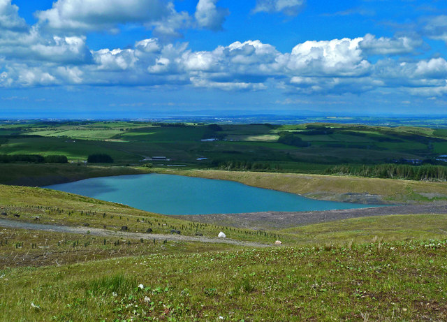
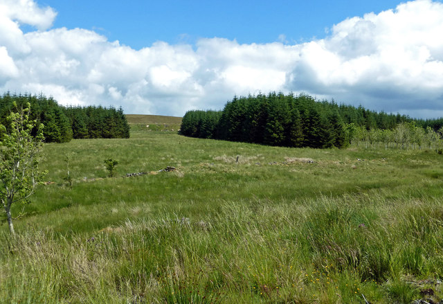
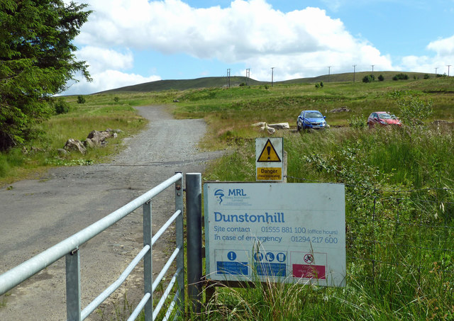
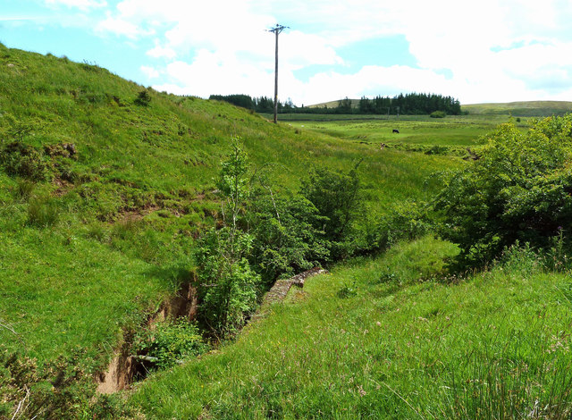
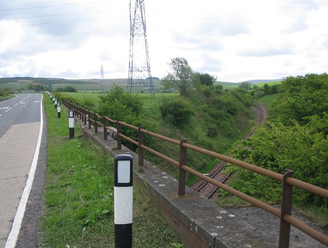
Ashentree Glen Images

Images are sourced within 2km of 55.39288/-4.4729863 or Grid Reference NS4313. Thanks to Geograph Open Source API. All images are credited.

Former post office, Rankinston
The main street, Rankinston
Community buildings, Rankinston
War Memorial, Rankinston
Houses in a cul-de-sac, Rankinston
Road to Dunstonhill
Road to Dunstonhill
Road to Drongan near Knockshinnoch
B730 near Dalmaca
B730 near Dalmaca
Onion weathering The restoration company has marked the edge of some new tracks with big boulders. The black ones are a soft type of sparkly basalt which breaks down very easily. This shot shows the layers of rock peeling off like the inside of an onion. In some cases, the rock had disintegrated into coarse black sand.
Onion weathering
The restoration company has marked the edge of some new tracks with big boulders. The black ones are a soft type of sparkly basalt which breaks down very easily. This shot shows the layers of rock peeling off like the inside of an onion. In some cases, the rock had disintegrated into coarse black sand.
Going up Dunston Hill The new tracks on this restored open-cast site are shown on the really big scale maps but not yet on the Landranger or Explorer series. This road leads to the restored Dunston Hill which is marked by a set of boulders on the top.
Going up Dunston Hill
The new tracks on this restored open-cast site are shown on the really big scale maps but not yet on the Landranger or Explorer series. This road leads to the restored Dunston Hill which is marked by a set of boulders on the top.
New loch near Dunston Hill Mines Restoration Ltd have carried out a lot of work in this area. A 2013 aerial view of the old open-cast colliery site is shown at <a href="https://www.geograph.org.uk/photo/3644130">NS4312 : Disused opencast mine at Polnessan</a> with a closer view at <a href="https://www.geograph.org.uk/photo/3829641">NS4312 : Dunston Hill opencast mine</a> taken in 2014, showing the "moonscape" land that was produced by this extraction method.
New loch near Dunston Hill
Mines Restoration Ltd have carried out a lot of work in this area. A 2013 aerial view of the old open-cast colliery site is shown at NS4312 : Disused opencast mine at Polnessan with a closer view at NS4312 : Dunston Hill opencast mine taken in 2014, showing the "moonscape" land that was produced by this extraction method.
Dunston Hill view Viewed looking up Smithston Burn, this view shows old moorland and forestry that was untouched by the open-cast extraction. The high ground on the skyline has been restored after the collapse of the colliery companies.
Dunston Hill view
Viewed looking up Smithston Burn, this view shows old moorland and forestry that was untouched by the open-cast extraction. The high ground on the skyline has been restored after the collapse of the colliery companies.
Power lines crossing Smithston Burn Smithston Burn flows down between the blocks of forestry. The power lines, which come from the wind-farm on Windy Standard, are shown on the very large-scale maps but have not yet appeared on the Landranger or Explorer series.
Power lines crossing Smithston Burn
Smithston Burn flows down between the blocks of forestry. The power lines, which come from the wind-farm on Windy Standard, are shown on the very large-scale maps but have not yet appeared on the Landranger or Explorer series.
Restored mine workings at Dunston Hill The restoration work continues along the hillside to join up with Lethanhill, near Patna.
Restored mine workings at Dunston Hill
The restoration work continues along the hillside to join up with Lethanhill, near Patna.
Old workings on Dunston Hill These small workings come from an earlier time of mineral extraction, not the recent open-cast activity.
Old workings on Dunston Hill
These small workings come from an earlier time of mineral extraction, not the recent open-cast activity.
Dunston Hill restoration Mines Restoration Ltd have carried out a lot of work in this area after the collapse of the open-cast colliery companies. Signs beside the new track warn walkers of dangerous deep water though the loch isn’t visible from there.  A minor deviation from the road gives sight of this new loch which, judging by the older photos of the site, is very deep with steeply-sloping sides and certainly dangerous. For a 2014 view, taken from a different point, see <a href="https://www.geograph.org.uk/photo/3829633">NS4312 : Dunston Hill opencast mine</a> where the typical open-cast “moonscape” land is evident. There’s a 2013 aerial shot at <a href="https://www.geograph.org.uk/photo/3644130">NS4312 : Disused opencast mine at Polnessan</a>. The loch and the new roads are shown on the very large-scale maps but have not yet reached the Landranger or Explorer series.
Older mining activity here dates from the 19th century. When these mines closed, restoration work wasn’t done and the sites were left to be reclaimed by the moorland vegetation. <a href="https://www.geograph.org.uk/photo/404826">NS4312 : Old Bing</a> shows what the land here was like in 2007.
Dunston Hill restoration
Mines Restoration Ltd have carried out a lot of work in this area after the collapse of the open-cast colliery companies. Signs beside the new track warn walkers of dangerous deep water though the loch isn’t visible from there. A minor deviation from the road gives sight of this new loch which, judging by the older photos of the site, is very deep with steeply-sloping sides and certainly dangerous. For a 2014 view, taken from a different point, see NS4312 : Dunston Hill opencast mine where the typical open-cast “moonscape” land is evident. There’s a 2013 aerial shot at NS4312 : Disused opencast mine at Polnessan. The loch and the new roads are shown on the very large-scale maps but have not yet reached the Landranger or Explorer series. Older mining activity here dates from the 19th century. When these mines closed, restoration work wasn’t done and the sites were left to be reclaimed by the moorland vegetation. NS4312 : Old Bing shows what the land here was like in 2007.
Dunstonhill Colliery restoration site Mines Restoration Limited have carried out extensive work on this old open-cast site. The smoothed-over skyline contrasts well with the spoil heaps of 2014 - see <a href="https://www.geograph.org.uk/photo/4104247">NS4213 : Dunstonhill Surface Mine</a>
Dunstonhill Colliery restoration site
Mines Restoration Limited have carried out extensive work on this old open-cast site. The smoothed-over skyline contrasts well with the spoil heaps of 2014 - see NS4213 : Dunstonhill Surface Mine
Tongue Burn The burn flows through a bricked-up channel before passing below the road.
Tongue Burn
The burn flows through a bricked-up channel before passing below the road.
Show me another place!

Ashentree Glen is located at Grid Ref: NS4313 (Lat: 55.39288, Lng: -4.4729863)

Unitary Authority: East Ayrshire

Police Authority: Ayrshire

What 3 Words

///leave.photos.apparatus. Near Patna, East Ayrshire

Nearby Locations

Ashentree Glen

Related Wikis

Cairntable Halt railway station

Cairntable Halt railway station was a railway station serving a rural district and the miners' row of forty-eight houses at the Cairntable Terraces, East...

Kerse Loch

Kerse Loch (NS 34894 16186), also recorded as Carse Loch (1841) is a small freshwater loch in the East Ayrshire Council Area, lying in a glacial Kettle...
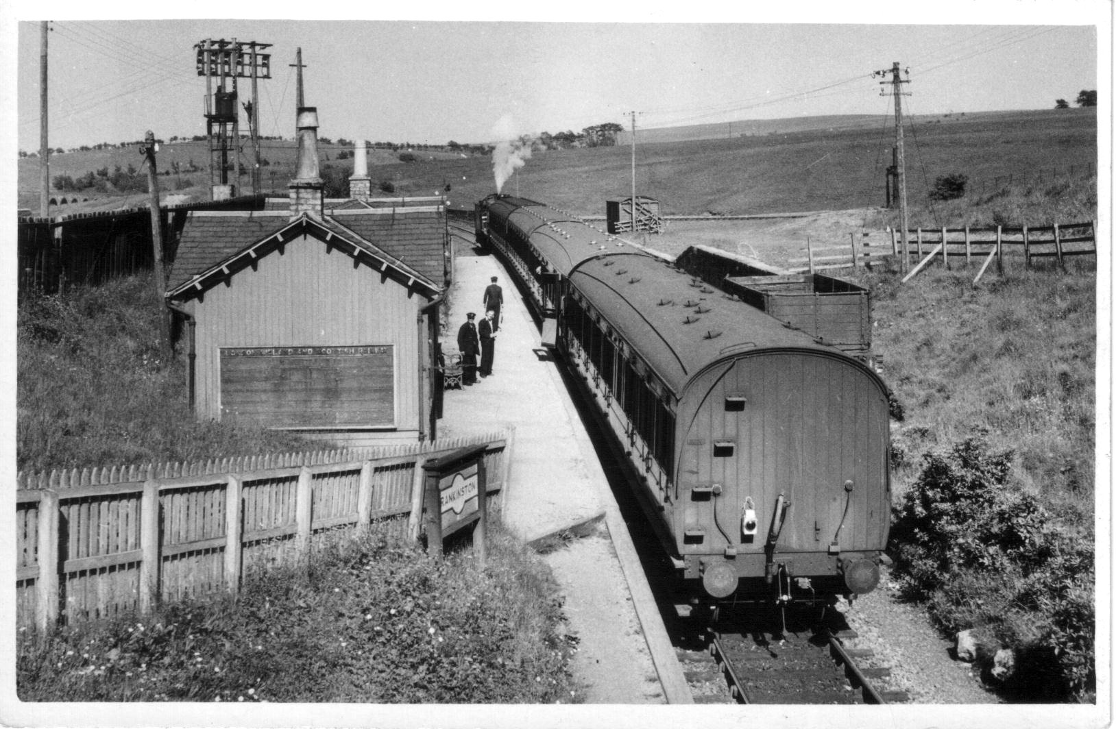
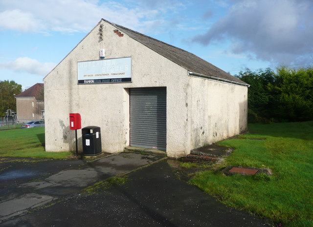
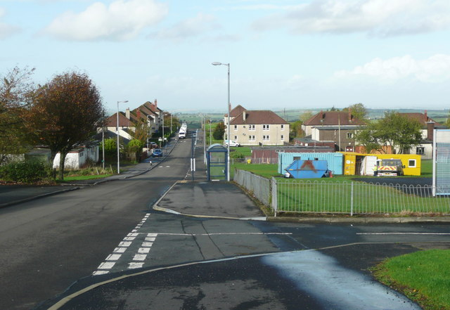
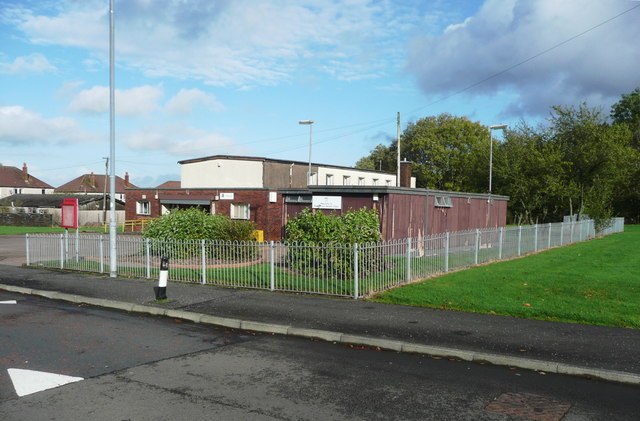
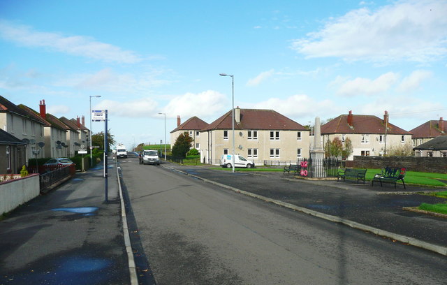
Rankinston

Rankinston is a village in East Ayrshire, Scotland, 3⁄4 mile (1.2 km) off the B730, approximately 12 miles (19 km) south east of the town of Ayr. Rankinston...

Rankinston railway station

Rankinston railway station was a railway station serving the village of Rankinston, East Ayrshire, Scotland. The station was by the Glasgow and South Western...

Polnessan

Polnessan (Scottish Gaelic: Poll an Easain, pool on the small waterfall) is a small rural village in East Ayrshire, Scotland. Polnessan has a population...

Holehouse Junction railway station

Holehouse Junction railway station was an exchange railway station in East Ayrshire, Scotland. The line on which the station later came to stand was originally...

Patna railway station (Scotland)

Patna railway station was a railway station serving Patna, East Ayrshire, Scotland. The station was originally part of the Ayr and Dalmellington Railway...

Patna, East Ayrshire

Patna is a village in East Ayrshire, Scotland, straddling the traditional districts of Carrick and Kyle.It was established in 1802 by William Fullarton...

Related Videos

Killmarnock Ramblers, Dunston Hill, Rankiston, Sept 26th 2020

On the 30th anniversary of the formation of the group the walk takes us to Rankinston for a walk to Dunston Hill.

Nearby Amenities

Located within 500m of 55.39288,-4.4729863
Cairntable
Historic Railway: station
Railway: site
Wikidata: Q5017728
Wikipedia: en:Cairntable Halt railway station
Lat/Long: 55.3950704/-4.4760882
Power: pole
Lat/Long: 55.396514/-4.4698208
Power: pole
Lat/Long: 55.3961244/-4.470581
Power: pole
Lat/Long: 55.3952843/-4.4721644
Power: pole
Lat/Long: 55.3948077/-4.4730692
Power: pole
Lat/Long: 55.3944686/-4.4737252
Power: pole
Lat/Long: 55.3931566/-4.4689143
Power: pole
Lat/Long: 55.393769/-4.4686165
Power: pole
Lat/Long: 55.3943417/-4.4683081
Power: pole
Lat/Long: 55.394945/-4.4680157
Power: pole
Lat/Long: 55.3917656/-4.4794899
Power: pole
Lat/Long: 55.392557/-4.4786349
Power: pole
Lat/Long: 55.3929282/-4.4776034
Power: pole
Lat/Long: 55.3932828/-4.4766104
Power: pole
Lat/Long: 55.3936567/-4.4755993
Power: pole
Lat/Long: 55.3940279/-4.4745384
Power: pole
Lat/Long: 55.3958431/-4.4701999
Power: pole
Lat/Long: 55.3952252/-4.4686391
Power: pole
Lat/Long: 55.3957802/-4.4712336
Power: pole
Lat/Long: 55.3951725/-4.4756751
Power: pole
Lat/Long: 55.3953704/-4.4758854
Power: pole
Lat/Long: 55.3957609/-4.4763378
Power: pole
Lat/Long: 55.3956748/-4.4748562
Power: pole
Lat/Long: 55.3964083/-4.4740984
Power: pole
Lat/Long: 55.3971187/-4.4733701
The data included in this document is from www.openstreetmap.org. The data is made available under ODbL.

Have you been to Ashentree Glen?

Leave your review of Ashentree Glen below (or comments, questions and feedback).