Knockdon Glen
Valley in Ayrshire
Scotland
Knockdon Glen
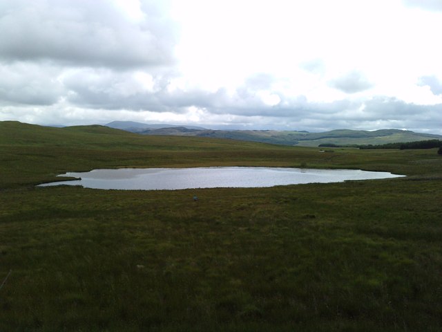
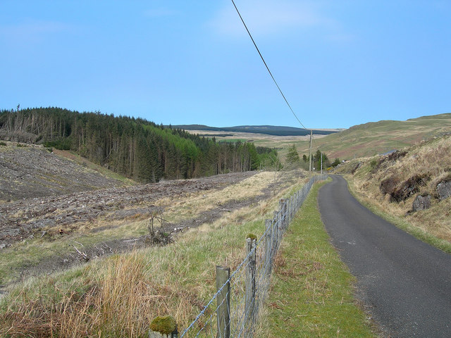
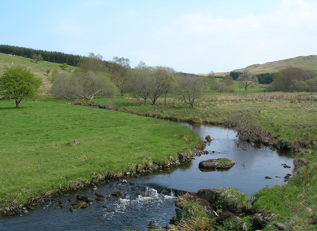
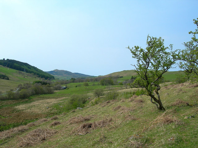
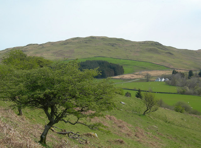
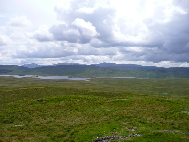
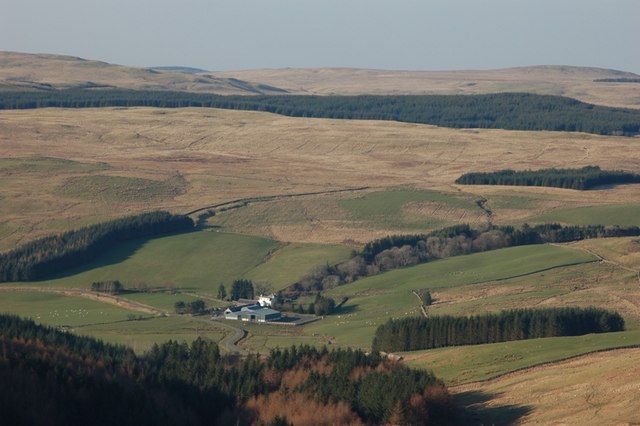
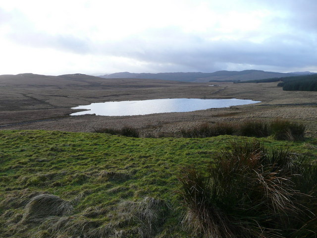
Knockdon Glen is a picturesque valley located in Ayrshire, Scotland. Situated just two miles northeast of the town of Ayr, it is surrounded by rolling hills and lush greenery, providing a tranquil and idyllic setting for visitors and locals alike.
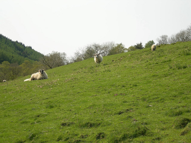
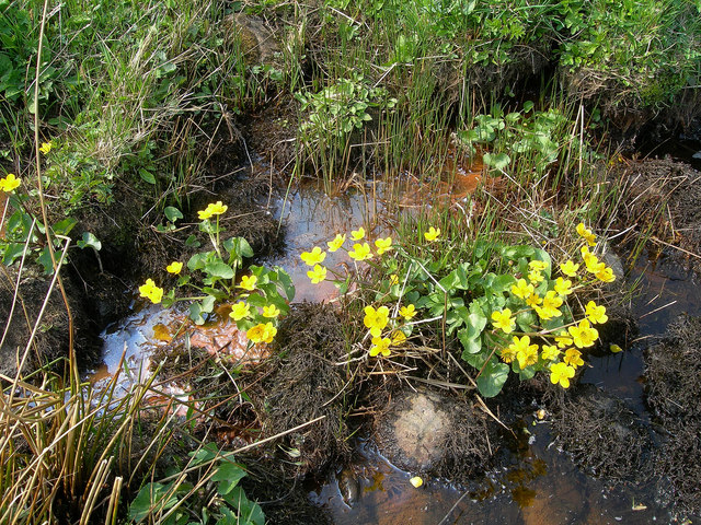
The glen is home to a diverse range of flora and fauna, with a variety of trees, plants, and wildflowers dotting its landscape. The babbling Knockdon Burn, a small stream that runs through the valley, adds to the beauty and serenity of the area.
Walking trails crisscross the glen, allowing visitors to explore its natural wonders. The paths lead through dense woodlands, where one can spot various species of birds and small mammals. The glen also provides a habitat for rare and protected species, making it a popular spot for nature enthusiasts and birdwatchers.
In addition to its natural beauty, Knockdon Glen boasts historical significance. The surrounding area is home to several ancient sites, including standing stones and burial mounds, which hint at the valley's rich history and cultural heritage.
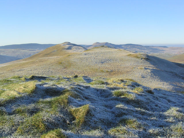
For those seeking outdoor activities, Knockdon Glen offers ample opportunities for hiking, picnicking, and photography. The peaceful ambiance and stunning vistas make it a perfect spot for relaxation and rejuvenation. Whether it's a leisurely stroll or a more challenging hike, visitors are guaranteed to find solace and beauty in Knockdon Glen's enchanting surroundings.
If you have any feedback on the listing, please let us know in the comments section below.
Knockdon Glen Images
Images are sourced within 2km of 55.276943/-4.4664168 or Grid Reference NS4300. Thanks to Geograph Open Source API. All images are credited.


Knockdon Glen is located at Grid Ref: NS4300 (Lat: 55.276943, Lng: -4.4664168)
Unitary Authority: South Ayrshire
Police Authority: Ayrshire
What 3 Words
///evenings.pulps.shun. Near Bellsbank, East Ayrshire
Nearby Locations
Related Wikis
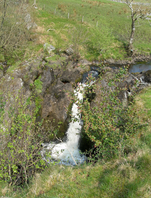
Tairlaw Linn
Tairlaw Linn is a waterfall of Scotland, near Straiton, South Ayrshire. == See also == Waterfalls of Scotland == References ==

Drunmore Linn
Drunmore Linn is a waterfall of Scotland, near Straiton, South Ayrshire. == See also == Waterfalls of Scotland == References ==

Loch Brecbowie
Loch Brecbowie is a Scottish loch located in the Ayrshire region, near the town of Girvan.The small, freshwater loch contains four small islands. It is...
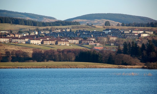
Bellsbank
Bellsbank is a village half a mile away from the market town of Dalmellington in East Ayrshire, Scotland. It is the second-highest place in East Ayrshire...
Related Videos

Galloway Forest, Scotland. Arrival at our holiday cottage in the Stottich wilderness. Local villages
Scotland #gallowayforest #WaterofKen #Moniaive #stjohnstownofdalry #castledouglass #discovering #abandonedhouse End of ...

Hiking up to Murray’s Monument in the Galloway Forest Scotland
Not sure yet if it will be a premiere or not but join me this Sunday for my final video on my recent trip to Scotland exploring ...

A frosty wander in the Galloway Forest Scotland
So after a fab camp by the coast I then head into the Galloway Forest. It sure was a frosty morning but I loved exploring this viaduct ...

a PERFECT mountain day I Walking the Rhinns of Kells
A glorious day hike in the Galloway Hills of south-west Scotland Music Abbey Cadence - Twin Musicom Stellar Wind - Unicorn ...
Nearby Amenities
Located within 500m of 55.276943,-4.4664168Have you been to Knockdon Glen?
Leave your review of Knockdon Glen below (or comments, questions and feedback).