Lambeth
Settlement in Surrey
England
Lambeth
Lambeth is a borough in the southern part of London, England, situated on the south bank of the River Thames. It is one of the 32 boroughs that make up Greater London and is located within the historic county of Surrey. Lambeth covers an area of approximately 10.4 square miles (27 square kilometers) and is home to a diverse population of around 330,000 residents.
The borough is known for its rich history and cultural significance. It is home to several iconic landmarks, including the London Eye, the Imperial War Museum, and the famous Southbank Centre, which hosts various arts and entertainment events throughout the year. Lambeth Palace, the official residence of the Archbishop of Canterbury, is also located here.
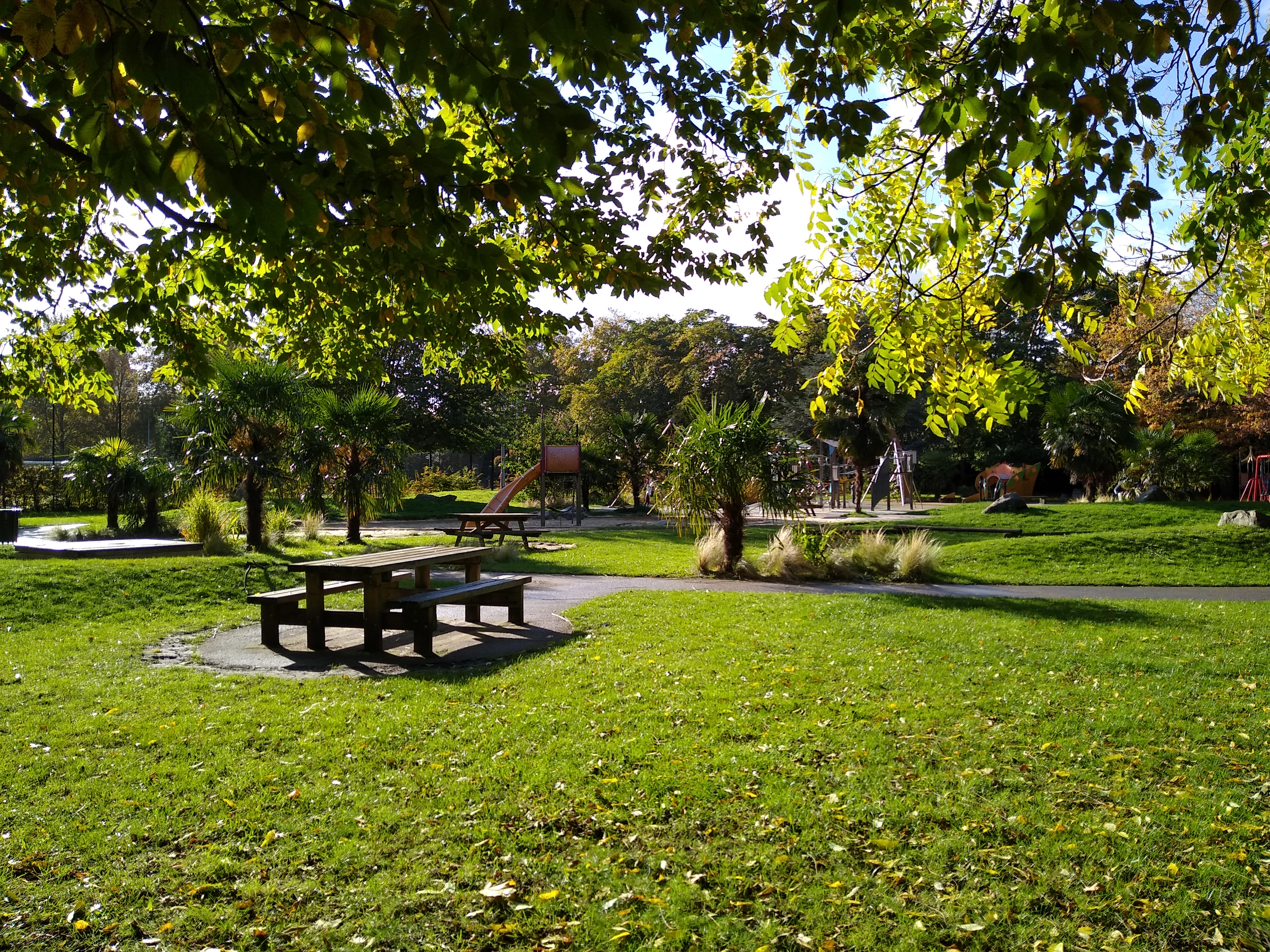
Lambeth offers a wide range of amenities and attractions for both residents and visitors. The area boasts numerous parks and open spaces, such as Brockwell Park and Kennington Park, providing residents with green spaces for recreational activities. The borough is well-connected to the rest of London through its extensive transport network, including underground and overground train services, buses, and riverboat services along the Thames.
Lambeth is a vibrant and diverse borough, with a mix of residential, commercial, and industrial areas. It is known for its lively neighborhoods, including Brixton, Clapham, and Streatham, which offer a variety of shops, markets, restaurants, and nightlife options. The borough also has a strong sense of community, with various community centers, libraries, and leisure facilities available to its residents.
If you have any feedback on the listing, please let us know in the comments section below.
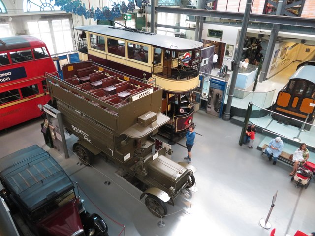
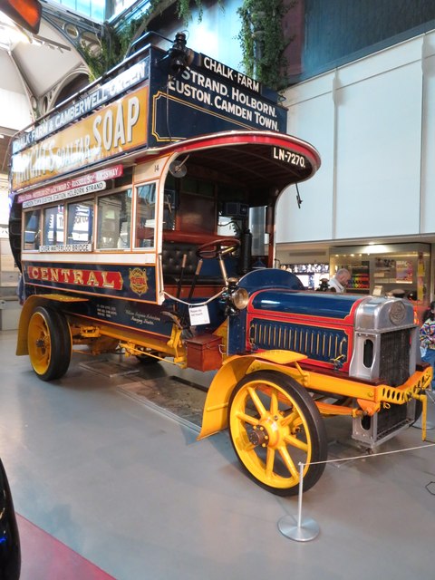
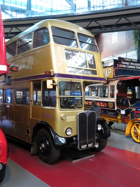
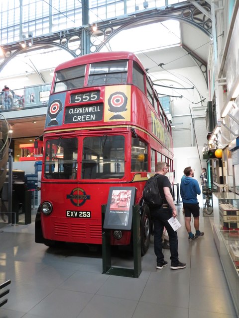
Lambeth Images
Images are sourced within 2km of 51.496715/-0.11708333 or Grid Reference TQ3079. Thanks to Geograph Open Source API. All images are credited.


Lambeth is located at Grid Ref: TQ3079 (Lat: 51.496715, Lng: -0.11708333)
Unitary Authority: Lambeth
Police Authority: Metropolitan
What 3 Words
///venue.bands.hang. Near Lambeth, London
Nearby Locations
Related Wikis
Archbishop's Park
Archbishop's Park is a 3.93 hectares (9.7 acres) park in Lambeth in the London Borough of Lambeth in London, England, which opened to the public in 1901...
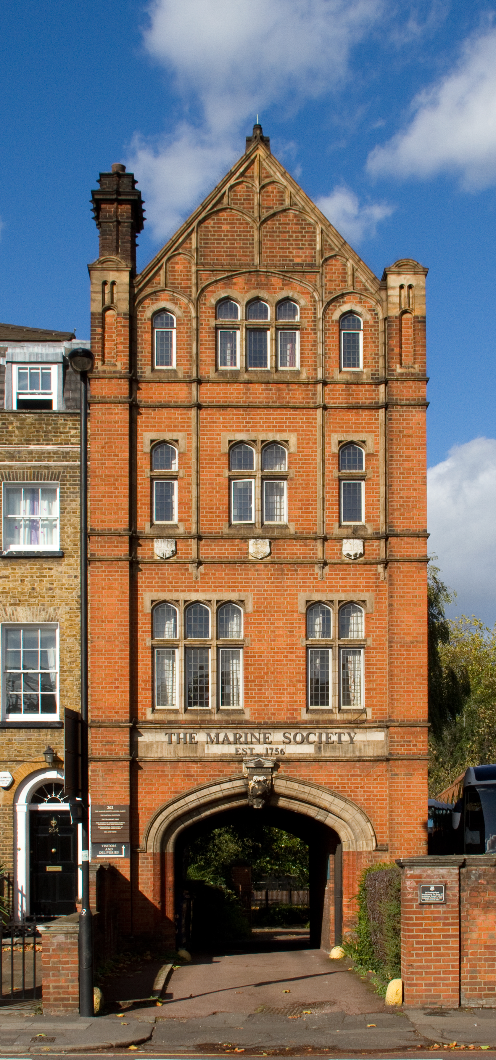
The Marine Society College of the Sea
The Marine Society College of the Sea is a distance learning further education college for those who make their living at sea. The college is owned and...
Hercules Road
Hercules Road runs north from Lambeth Road near Lambeth Palace, on the site of Penlington Place, in the London Borough of Lambeth, south London, England...

Evelina London Children's Hospital
Evelina London Children's Hospital is a specialist NHS hospital in London. It is administratively a part of Guy's and St Thomas' NHS Foundation Trust and...
Lambeth Road
Lambeth Road is a road in Lambeth (to the west) and Southwark (to the east), London running between Lambeth Bridge over the River Thames at the western...
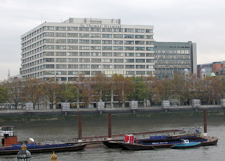
St Thomas's Hospital Medical School
St Thomas's Hospital Medical School in London was one of the oldest and most prestigious medical schools in the UK. The school was absorbed to form part...
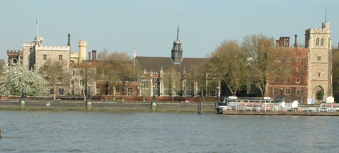
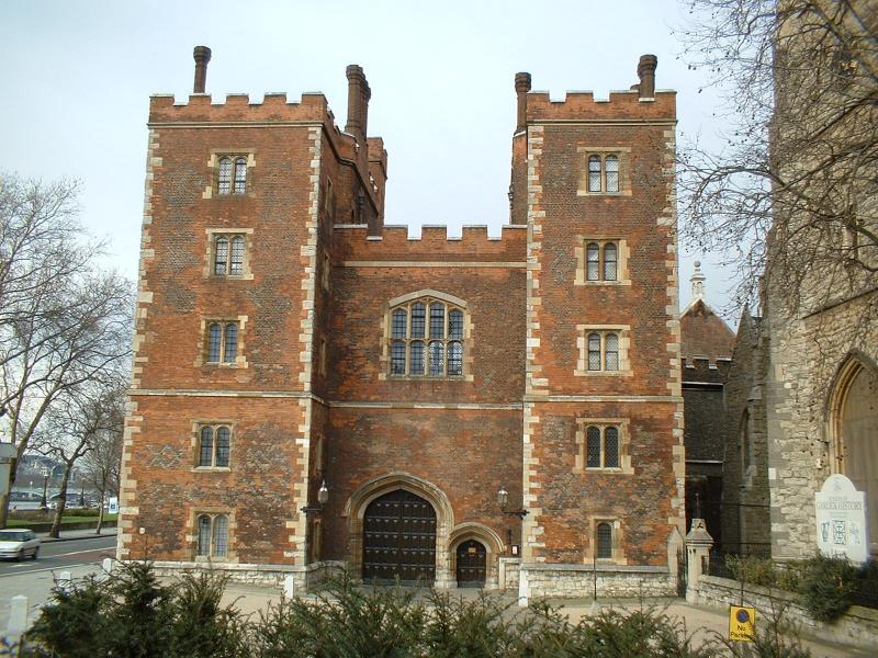
Lambeth Palace
Lambeth Palace is the official London residence of the archbishop of Canterbury. It is situated in north Lambeth, London, on the south bank of the River...

Community of Saint Anselm
The Community of Saint Anselm is an Anglican religious order of young people, devoted to prayer, study and service to the poor. It is based at Lambeth...
Nearby Amenities
Located within 500m of 51.496715,-0.11708333Have you been to Lambeth?
Leave your review of Lambeth below (or comments, questions and feedback).