Gleann a' Mhill Bhig
Valley in Argyllshire
Scotland
Gleann a' Mhill Bhig

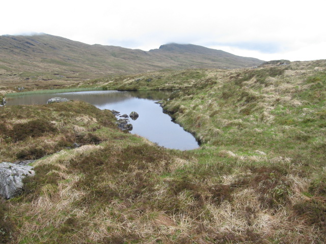
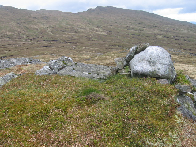
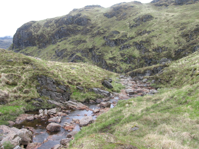
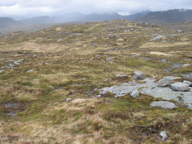
Gleann a' Mhill Bhig, located in Argyllshire, Scotland, is a picturesque valley surrounded by stunning natural beauty. Nestled between rolling hills and bordered by a meandering river, the valley offers a tranquil and idyllic setting for visitors to immerse themselves in nature.
The valley is known for its rich biodiversity, with a diverse range of flora and fauna thriving in the fertile landscape. Wildflowers carpet the meadows during the summer months, creating a vibrant and colorful tapestry. The valley is also home to several species of birds, making it an ideal spot for birdwatching enthusiasts.
The river that runs through Gleann a' Mhill Bhig is a highlight of the area. Its crystal-clear waters are a haven for wildlife and provide a peaceful backdrop for visitors to enjoy a leisurely stroll or a picnic by the riverbank. The river also offers opportunities for fishing, with salmon and trout being popular catches.
Hiking trails crisscross the valley, allowing visitors to explore the surrounding hills and take in breathtaking panoramic views of the landscape. The trails cater to different fitness levels, making it accessible for both experienced hikers and those seeking a more leisurely walk.
Gleann a' Mhill Bhig is a haven for outdoor enthusiasts and nature lovers alike, offering a serene and unspoiled escape from the hustle and bustle of everyday life. Whether it's enjoying the beauty of the wildflowers, spotting birds, or simply immersing oneself in the tranquility of the surroundings, this valley is a hidden gem in Argyllshire.
If you have any feedback on the listing, please let us know in the comments section below.
Gleann a' Mhill Bhig Images
Images are sourced within 2km of 56.282077/-4.8465711 or Grid Reference NN2313. Thanks to Geograph Open Source API. All images are credited.


Gleann a' Mhill Bhig is located at Grid Ref: NN2313 (Lat: 56.282077, Lng: -4.8465711)
Unitary Authority: Argyll and Bute
Police Authority: Argyll and West Dunbartonshire
What 3 Words
///learning.burns.cemented. Near Inveraray, Argyll & Bute
Nearby Locations
Related Wikis
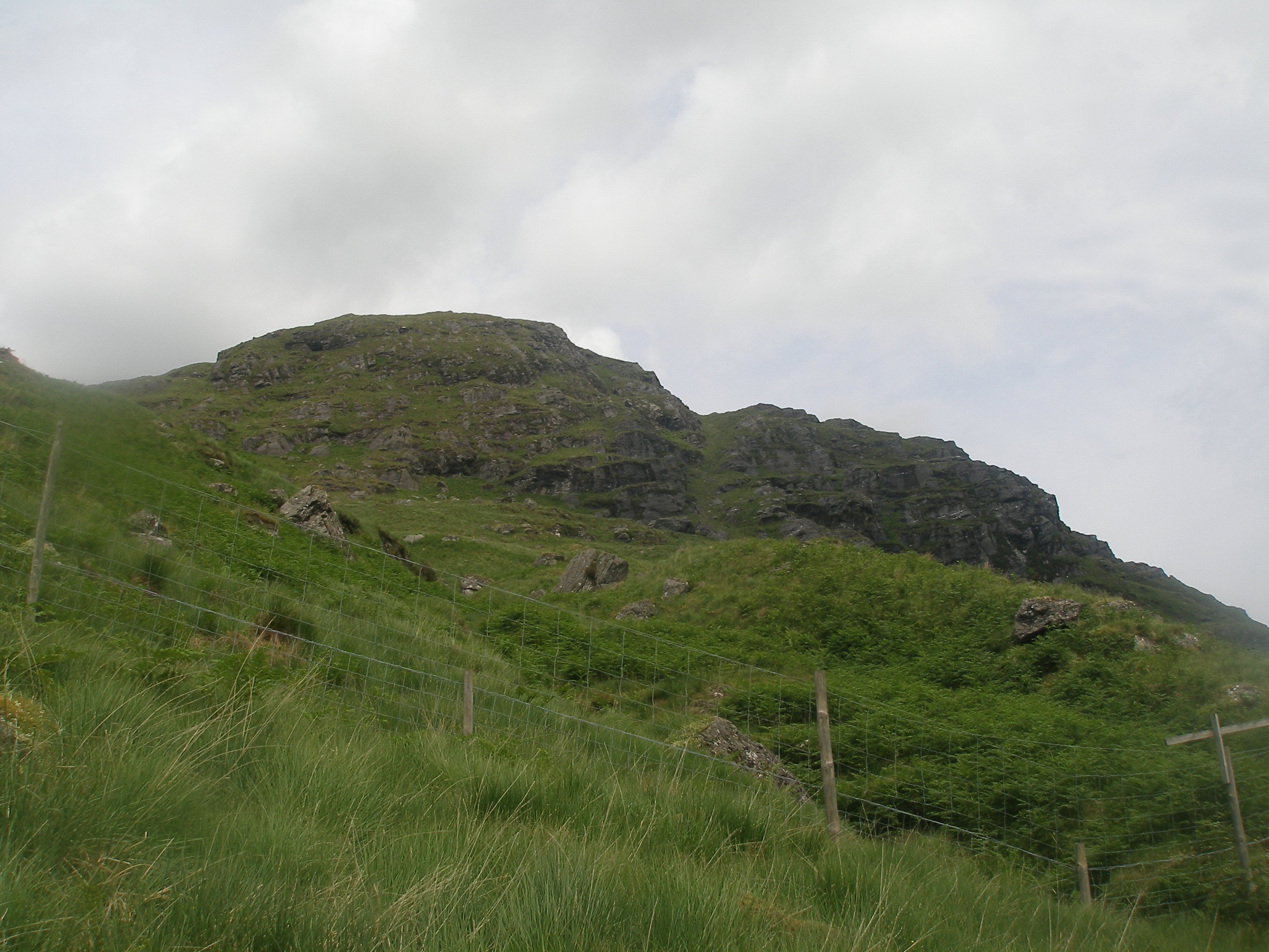
Binnein an Fhidhleir
Binnein an Fhidhleir, one of the Arrochar Alps, is a mountain in southern Scotland. It is located above Butterbridge on the north side the A83 road facing...
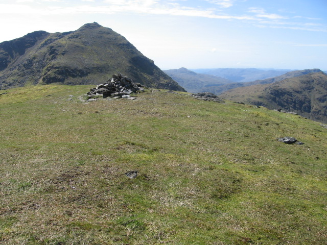
Beinn Chorranach
Beinn Chorranach is one of the Arrochar Alps, a mountain range that marks the start of the Argyll Highlands and provides a wilderness of long coastlines...

Allt na Lairige Dam
Allt na Lairige Dam (Burn of the Pass), is a pre-stressed concrete dam in Argyll and Bute, Scotland at grid reference NN25251745. It creates an impounding...
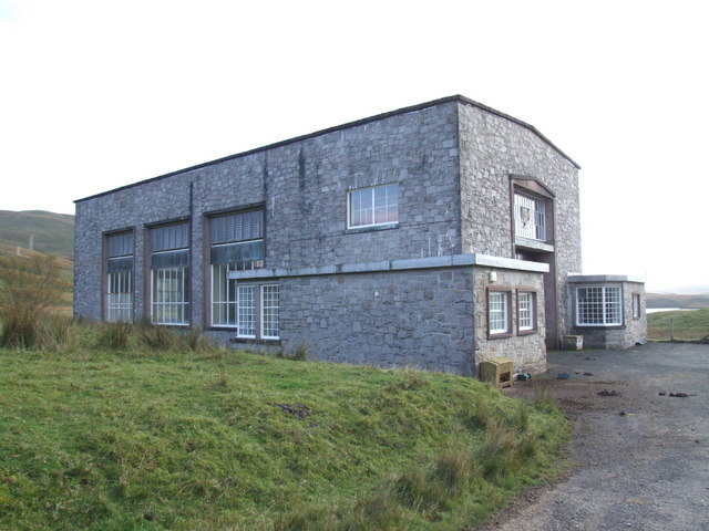
Shira Hydro-Electric Scheme
The Shira Hydro-Electric Scheme is a project initiated by the North of Scotland Hydro-Electric Board to use the waters of the River Shira, the River Fyne...
Related Videos

Binnein an Fhidhleir (Stob Coire Creagach) An Epic Day
I arrived at Butter bridge car park where i meet up with some of the guys to tackle the peeks Binnein an Fhidhleir & the Corbett ...

Butter Bridge Drone
Took a trip up north with my drone to see what footage I could get and this is what I got, enjoy. Let me know down in the comments ...

MacKeller Scottish Handfasting/Vow Renewal Ceremony 2023
Gary and Rosanna MacKeller celebrating our 10 Year Anniversary with a Traditional Scottish Handfasting Ceremony.
Nearby Amenities
Located within 500m of 56.282077,-4.8465711Have you been to Gleann a' Mhill Bhig?
Leave your review of Gleann a' Mhill Bhig below (or comments, questions and feedback).