Laindon
Settlement in Essex Basildon
England
Laindon

Laindon is a town located in the county of Essex, in the southeastern part of England. Situated about 25 miles east of central London, it falls within the borough of Basildon and is part of the wider Basildon district. Laindon is bordered by the towns of Basildon and Billericay, and it lies close to the larger urban areas of Southend-on-Sea and Chelmsford.
Originally an agricultural area, Laindon has experienced substantial growth since the mid-20th century, transforming it into a primarily residential town. The development of the London, Tilbury, and Southend Railway in the late 1800s played a significant role in the town's expansion, facilitating commuting to London and other nearby towns. Laindon's proximity to major road networks, including the A127 and A13, also contributes to its accessibility.
The town offers a range of amenities to its residents, including several primary and secondary schools, shopping centers, supermarkets, and recreational facilities. Langdon Hills Country Park, a large green space situated nearby, provides opportunities for outdoor activities such as walking, cycling, and nature observation.
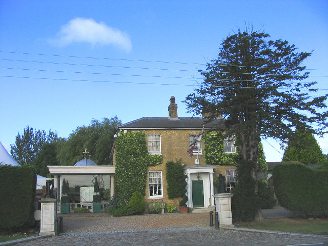
Laindon retains some historical features, with a few old buildings and landmarks still present throughout the town. The Laindon Hotel, a 19th-century coaching inn, is one such example. Additionally, Laindon has seen some modern developments over recent years, including new housing estates and commercial areas.
Overall, Laindon is a thriving suburban town that provides its residents with a convenient location for commuting, a variety of amenities, and access to both urban and natural attractions in the wider Essex region.
If you have any feedback on the listing, please let us know in the comments section below.
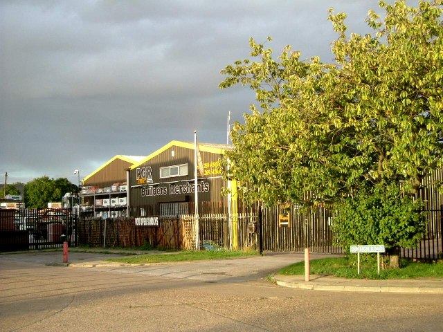
Laindon Images
Images are sourced within 2km of 51.575934/0.410655 or Grid Reference TQ6789. Thanks to Geograph Open Source API. All images are credited.


Laindon is located at Grid Ref: TQ6789 (Lat: 51.575934, Lng: 0.410655)
Administrative County: Essex
District: Basildon
Police Authority: Essex
What 3 Words
///shell.dose.pumps. Near Basildon, Essex
Nearby Locations
Related Wikis

Laindon
Laindon is a town and civil parish, which now forms part of the town of Basildon, in the Basildon district, in Essex, England. It is between Basildon and...

Dunton Technical Centre
The Dunton Campus (informally Ford Dunton or Dunton) is a major automotive research and development facility located in Dunton Wayletts, Laindon, Essex...

Little Burstead
Little Burstead is a village and civil parish in Essex, England. It lies 2.25 miles (4 km) south-south-west of Billericay and 4.5 miles (7 km) east-south...

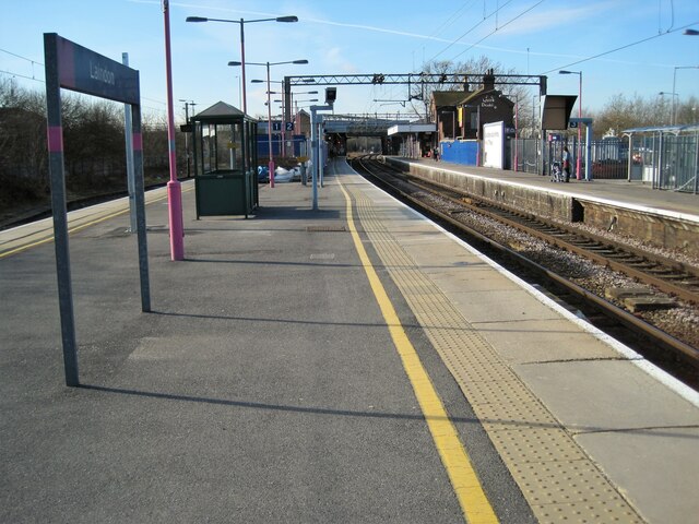
Laindon railway station
Laindon railway station is on the London, Tilbury and Southend line, serving the town of Laindon in Essex, England. It is 22 miles 69 chains (36.8 km)...
Nearby Amenities
Located within 500m of 51.575934,0.410655Have you been to Laindon?
Leave your review of Laindon below (or comments, questions and feedback).