Laigh Park

Settlement in Renfrewshire

Scotland

Laigh Park

Renfrewshire Council Headquarters
Renfrewshire Council Headquarters Credit: G McK

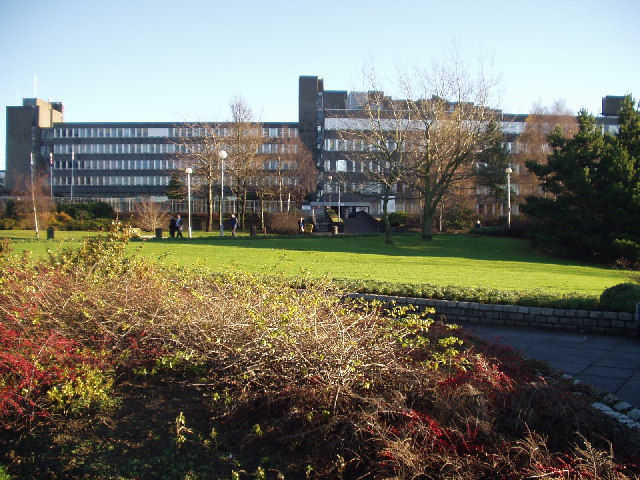
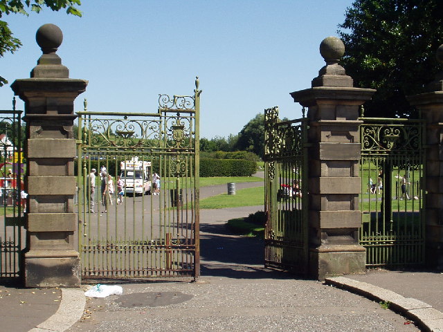
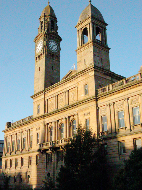
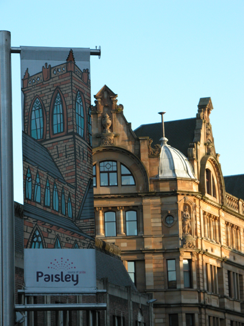
Laigh Park is a public park located in Renfrewshire, Scotland. Situated in the town of Paisley, it spans an area of approximately 16 acres, making it one of the largest green spaces in the area. The park is a popular recreational spot for locals and visitors alike, offering a wide range of facilities and activities.

One of the key features of Laigh Park is its well-maintained gardens. These beautifully landscaped areas are adorned with colorful flower beds, shrubs, and trees, providing a serene and picturesque environment. The park also boasts a large open space that is perfect for picnics, games, and other outdoor activities.

Sports enthusiasts can take advantage of the park's sports facilities, which include football pitches, a bowling green, and a basketball court. There is also a children's play area equipped with swings, slides, and climbing frames, ensuring that the park is a great destination for families.

Laigh Park is not just about leisure and recreation; it also hosts various events and activities throughout the year. From community festivals and concerts to charity runs and funfairs, there is always something happening in the park, creating a vibrant and lively atmosphere.

In terms of amenities, the park provides ample parking spaces, public toilets, and benches for visitors to relax and enjoy the surroundings. Additionally, the park is easily accessible, with good transportation links and nearby amenities such as shops and cafes.

Overall, Laigh Park is a well-maintained and versatile green space that offers something for everyone. Whether it's a peaceful stroll, a game of football, or a family day out, this park is a popular destination for people of all ages.

If you have any feedback on the listing, please let us know in the comments section below.
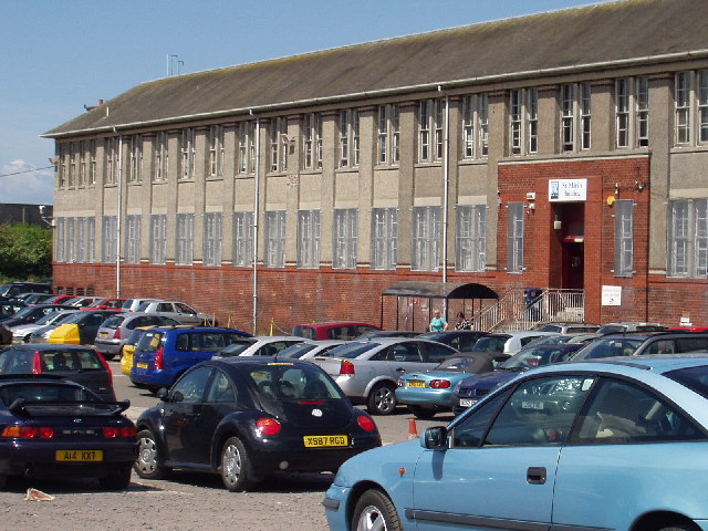
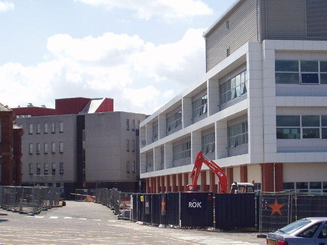
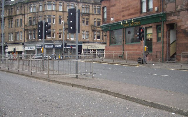
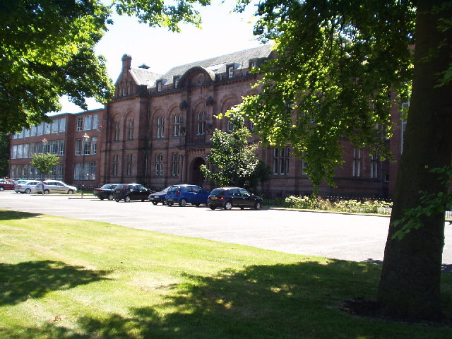
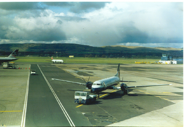
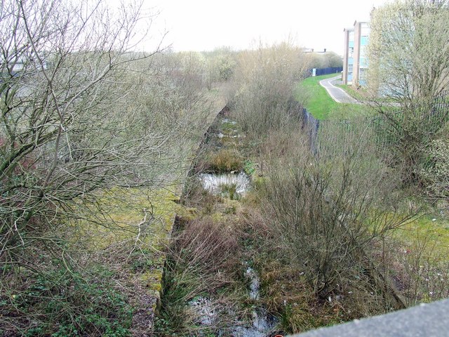
Laigh Park Images

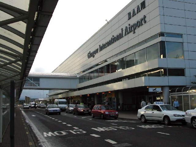
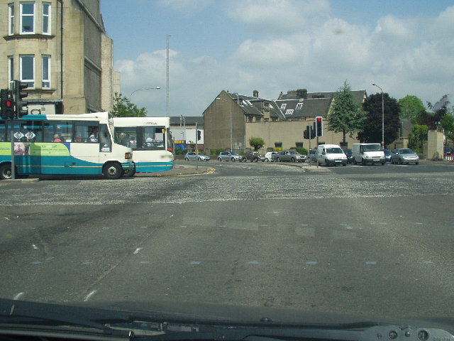
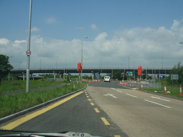
Images are sourced within 2km of 55.853209/-4.421365 or Grid Reference NS4864. Thanks to Geograph Open Source API. All images are credited.

Renfrewshire Council Headquarters
Airport Terminal Building Glasgow International Airport
Airport
Terminal Building Glasgow International Airport
Central Paisley
Central Paisley
St James' Interchange
St Mirin Block, Reid Kerr College
The new teaching block, Reid Kerr College
Canal St, Paisley Road junction near the centre of Paisley
Canal St, Paisley
Road junction near the centre of Paisley
Paisley Grammar School Glasgow Road, Paisley
Paisley Grammar School
Glasgow Road, Paisley
Barshaw Park, Paisley
Hawkhead Station, Paisley
Mock up For fire fighting exercise at Glasgow Airport.
Mock up
For fire fighting exercise at Glasgow Airport.
War memorial, Paisley
Paisley Abbey View of the historic abbey from over the White Cart Water.
Paisley Abbey
View of the historic abbey from over the White Cart Water.
Paisley Town Hall View from St Mirren Street, across the White Cart Water.
Paisley Town Hall
View from St Mirren Street, across the White Cart Water.
Tenements Tenements at the top of Causeyside Street, Paisley, taken from St Mirren Street.
Tenements
Tenements at the top of Causeyside Street, Paisley, taken from St Mirren Street.
Embarking for Barra at Glasgow Airport The Twin Otter aircraft used on the Barra flight (where it lands on the beach with timetables to suit the tides) is tiny compared with the other passenger aircraft.
Embarking for Barra at Glasgow Airport
The Twin Otter aircraft used on the Barra flight (where it lands on the beach with timetables to suit the tides) is tiny compared with the other passenger aircraft.
Gas Holder Station Gas Holder at the roundabout junction with of Underwood Rd and Well St, Paisley.
Gas Holder Station
Gas Holder at the roundabout junction with of Underwood Rd and Well St, Paisley.
Glasgow Airport The hills in the background are the Kilpatricks to the North.
Glasgow Airport
The hills in the background are the Kilpatricks to the North.
Show me another place!

Laigh Park is located at Grid Ref: NS4864 (Lat: 55.853209, Lng: -4.421365)

Unitary Authority: Renfrewshire

Police Authority: Renfrewshire and Inverclyde

What 3 Words

///haven.keeps.flood. Near Paisley, Renfrewshire

Nearby Locations

Laigh Park

Related Wikis

Paisley Abercorn railway station

Paisley Abercorn railway station was a railway station in Paisley, Renfrewshire, Scotland. The station was built by the Glasgow and South Western railway...

Paisley Hamilton Street railway station

Paisley (Hamilton Street) railway station was an early railway station in Paisley, Renfrewshire, Scotland. It was built in 1837 by the Paisley and Renfrew...

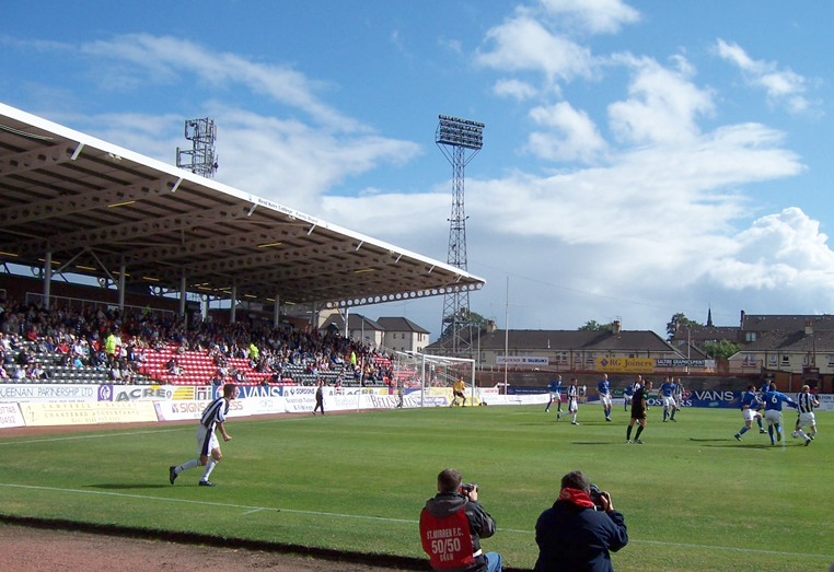
Love Street (stadium)

St Mirren Park, more commonly known as Love Street, was a football stadium located on Love Street in Paisley, Scotland. At one time the stadium was capable...

Fountain Gardens, Paisley

Fountain Gardens is in Paisley, Scotland. It has recreational parkland and garden areas which are open to the public. The park is Paisley's oldest public...

Paisley Sheriff Court

Paisley Sheriff Court is a municipal structure in St James Street, Paisley, Renfrewshire, Scotland. The complex, which was the headquarters of Renfrewshire...

St Mirin's Academy

St Mirin's Academy was a Catholic senior secondary school for boys founded in 1922 in Paisley, Scotland, and which closed in 1976. The school was dedicated...

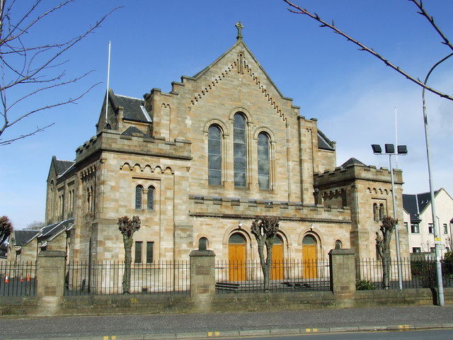
St Mirin's Cathedral

The Cathedral Church of Saint Mirin in Paisley, dedicated to Saint Mirin the patron saint of Paisley, is the mother church of the Catholic Diocese of Paisley...

Paisley Gilmour Street railway station

Paisley Gilmour Street railway station is the largest of the four stations serving the town of Paisley, Renfrewshire, Scotland (the others being Paisley...

Nearby Amenities

Located within 500m of 55.853209,-4.421365
Traffic Signals
Lat/Long: 55.8490588/-4.4215867
Traffic Signals
Lat/Long: 55.851765/-4.4181948
Turning Circle
Lat/Long: 55.8528398/-4.4140729
Bus Stop
Paisley, Reid Kerr College Annexe
Naptan AtcoCode: 6140250
Naptan NaptanCode: 73923426
Ref: 6140250
Lat/Long: 55.8535482/-4.4167142
Bus Stop
Paisley, Reid Kerr College
Shelter: yes
Lat/Long: 55.8523239/-4.4175513
Bus Stop
Naptan AtcoCode: 6140258
Naptan NaptanCode: 73925473
Shelter: no
Lat/Long: 55.8516922/-4.4172222
Bus Stop
Nat Ref: 6140261
Lat/Long: 55.8521224/-4.4145448
Traffic Signals
Lat/Long: 55.8536728/-4.426907
Crossing
Crossing: uncontrolled
Crossing Ref: zebra
Lat/Long: 55.850384/-4.4262678
Bus Stop
Paisley, Love Street / Glen Street
Bus: yes
Naptan AtcoCode: 6140545
Naptan NaptanCode: 73923634
Public Transport: platform
Shelter: no
Lat/Long: 55.8497747/-4.4263352
Bus Stop
Paisley, Love Street / North Street
Nat Ref: 6140547
Lat/Long: 55.8513567/-4.426393
Bus Stop
Springbank Road / Love Street
Bus: yes
Nat Ref: 6140543
Public Transport: platform
Lat/Long: 55.8536266/-4.427456
Post Office
Springbank Road Post Office
Addr City: Paisley
Addr Postcode: PA3 2PA
Addr Street: Springbank Road
Branch: Springbank Road
Brand: Post Office
Brand Wikidata: Q1783168
Check Date: 2020-02-20
Contact Website: https://www.postoffice.co.uk/branch-finder/1318594/springbank-road
Ref Pol Id: 2291
Lat/Long: 55.8540618/-4.4287433
Post Box
Postal Code: PA3
Ref: PA3 155
Lat/Long: 55.8540178/-4.4289233
Bus Stop
Bus: yes
Nat Ref: 6140551
Public Transport: platform
Lat/Long: 55.8553822/-4.4278048
Bus Stop
Bus: yes
Nat Ref: 6140552
Public Transport: platform
Lat/Long: 55.85561/-4.427556
Bus Stop
Renfrew Road at Hamilton Street
Bus: yes
Naptan AtcoCode: 6140246
Naptan NaptanCode: 73923585
Public Transport: platform
Lat/Long: 55.8499015/-4.4191753
Bus Stop
Reid Kerr Colleage
Lat/Long: 55.8521708/-4.4180428
Bus Stop
Inchinnan Road / Fleming Street
Bus: yes
Nat Ref: 61401144
Public Transport: platform
Lat/Long: 55.8568221/-4.4261014
Bus Stop
Inchinnan Road / Fleming Street
Bus: yes
Nat Ref: 61401135
Public Transport: platform
Lat/Long: 55.8566247/-4.4263532
Bus Stop
Nat Ref: 6140546
Lat/Long: 55.8507251/-4.4262181
Bus Stop
Bus: yes
Naptan AtcoCode: 6140549
Naptan NaptanCode: 73923783
Public Transport: platform
Lat/Long: 55.8541248/-4.426805
Bus Stop
Love Street / Springbank Road
Bus: yes
Naptan AtcoCode: 6140550
Naptan NaptanCode: 73925485
Nat Ref: 6140550
Public Transport: platform
Lat/Long: 55.8539766/-4.4270909
Bus Stop
Paisley, Renfrew Road / Hamilton Street
Bus: yes
Naptan AtcoCode: 6140247
Naptan NaptanCode: 73923239
Public Transport: platform
Ref: 6140247
Shelter: yes
Lat/Long: 55.8499016/-4.4188696
Bus Stop
Naptan AtcoCode: 6140252
Naptan NaptanCode: 73923789
Lat/Long: 55.8550862/-4.4161198
Springbank
Addr City: Paisley
Addr Country: GB
Addr Housenumber: 12a
Addr Postcode: PA3 2PA
Addr Street: Springbank Road
Fhrs Id: 119505
Shop: convenience
Lat/Long: 55.8540601/-4.4288189
Pharmacy
Houlihan Pharmacy
Addr Housenumber: 38
Addr Postcode: PA3 2DY
Addr Street: Love Street
Check Date: 2023-09-22
Dispensing: yes
Healthcare: pharmacy
Phone: +44 141 889 5741
Website: https://houlihanpharmacy.co.uk/paisley
Lat/Long: 55.8501959/-4.42607
Builders Merchants
Shop: doityourself
Lat/Long: 55.8520967/-4.4260399
Shop: greengrocer
Lat/Long: 55.854084/-4.4289474
Shop: car
Lat/Long: 55.8493293/-4.4233577
Tourism: guest_house
Lat/Long: 55.8562762/-4.4269054
Atm
Brand: RBS
Brand Wikidata: Q160126
Fee: no
Official Name: Royal Bank of Scotland
Operator: RBS
Operator Wikidata: Q160126
Lat/Long: 55.8491607/-4.4243608
Grenlaw Garage
Shop: car_repair
Lat/Long: 55.8493925/-4.4245003
Car Rental
Mitchells
Lat/Long: 55.8489291/-4.4222448
Arnold Clark
Brand: Arnold Clark
Brand Wikidata: Q29344371
Shop: car
Lat/Long: 55.8501247/-4.4194929
Restaurant
Koh-I-Noor - Indian
Lat/Long: 55.8500562/-4.4233221
Traffic Signals
Lat/Long: 55.8517252/-4.4180788
Crossing
Crossing: traffic_signals
Lat/Long: 55.8490281/-4.419303
Crossing
Crossing: traffic_signals
Lat/Long: 55.8489315/-4.419241
Crossing
Crossing: traffic_signals
Lat/Long: 55.8490584/-4.4189769
Crossing
Crossing: traffic_signals
Lat/Long: 55.8489415/-4.4238061
Atm
Lat/Long: 55.8561677/-4.427396
Traffic Signals
Traffic Signals: signal
Lat/Long: 55.8489352/-4.4189867
Traffic Signals
Traffic Signals: signal
Lat/Long: 55.8536886/-4.426762
The Range
Brand: The Range
Brand Wikidata: Q7759409
Shop: houseware
Website: https://www.therange.co.uk/stores/paisley
Lat/Long: 55.8500841/-4.4176625
Paisley Abercorn
Abandoned Railway: station
Alt Name: Abercorn
Railway: site
Wikidata: Q7125172
Wikipedia: en:Paisley Abercorn railway station
Lat/Long: 55.8519332/-4.4191461
Paisley Hamilton Street
Abandoned Railway: station
Railway: site
Wikidata: Q7125190
Wikipedia: en:Paisley Hamilton Street railway station
Lat/Long: 55.8498196/-4.4206592
Abercorn Junction
Railway: junction
Lat/Long: 55.8539298/-4.4204988
Crossing
Crossing: traffic_signals
Crossing Island: no
Tactile Paving: yes
Lat/Long: 55.8514618/-4.4262928
Crossing
Crossing: traffic_signals
Crossing Island: no
Tactile Paving: yes
Lat/Long: 55.8535407/-4.4268628
Crossing
Crossing: traffic_signals
Crossing Island: no
Tactile Paving: yes
Lat/Long: 55.8534973/-4.4267249
Crossing
Crossing: traffic_signals
Crossing Island: no
Tactile Paving: yes
Lat/Long: 55.8537647/-4.4270686
Crossing
Crossing: traffic_signals
Crossing Island: no
Tactile Paving: yes
Lat/Long: 55.8537515/-4.4269333
Crossing
Crossing: traffic_signals
Crossing Island: no
Tactile Paving: yes
Lat/Long: 55.8537726/-4.4267872
Crossing
Crossing: traffic_signals
Crossing Island: no
Tactile Paving: yes
Lat/Long: 55.8536618/-4.4270478
Crossing
Crossing: traffic_signals
Lat/Long: 55.8490581/-4.4236544
Crossing
Crossing: traffic_signals
Lat/Long: 55.8490242/-4.4191343
Crossing
Crossing: traffic_signals
Lat/Long: 55.8499014/-4.4190503
Crossing
Crossing: traffic_signals
Lat/Long: 55.8499448/-4.4189183
The data included in this document is from www.openstreetmap.org. The data is made available under ODbL.

Have you been to Laigh Park?

Leave your review of Laigh Park below (or comments, questions and feedback).