Alticane Glen
Valley in Ayrshire
Scotland
Alticane Glen
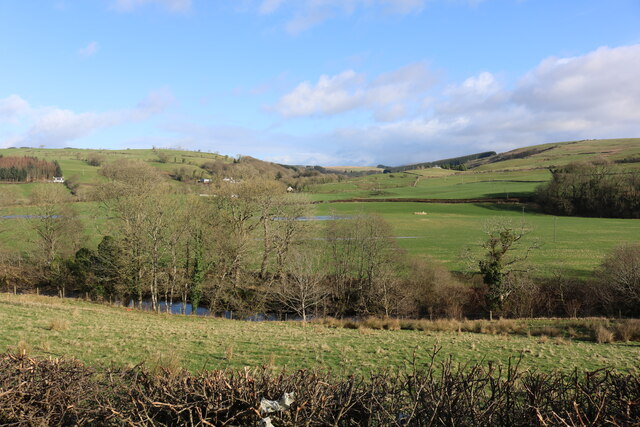
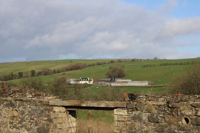
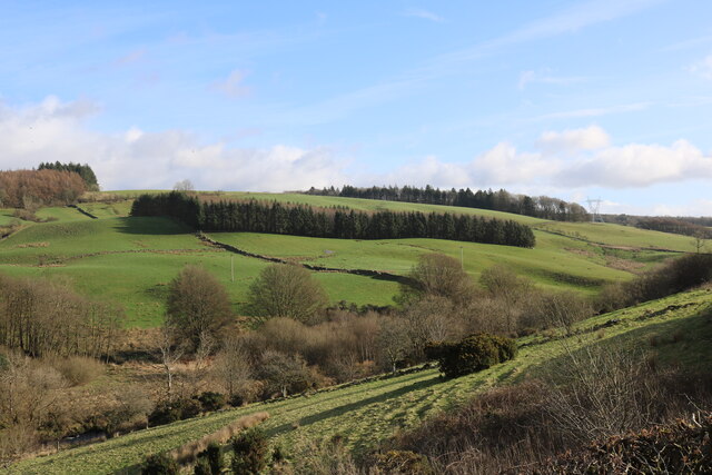
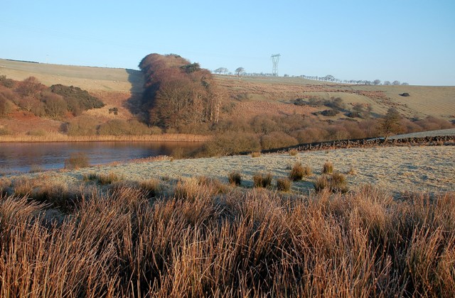
Alticane Glen is a picturesque valley located in Ayrshire, Scotland. Situated in the southwest region of the country, it is known for its stunning natural beauty and tranquil surroundings. The glen is nestled between rolling hills and is characterized by lush greenery, babbling brooks, and captivating waterfalls.
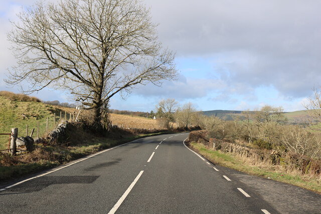
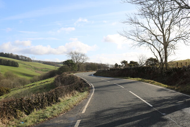
The glen is easily accessible, with a well-maintained footpath that winds through the valley, allowing visitors to explore its enchanting landscapes. The path offers breathtaking views of the surrounding countryside and leads to the main attraction of Alticane Glen – a magnificent waterfall cascading down from a height of approximately 30 meters.
The waterfall is a sight to behold, especially after a heavy rainfall when the water gushes down with tremendous force. The sound of the roaring waterfall adds to the sensory experience, creating a serene and peaceful atmosphere throughout the glen.
Alticane Glen is also home to a diverse range of flora and fauna. The valley is adorned with various species of wildflowers, including bluebells, primroses, and heather, which paint the landscape with vibrant colors during the spring and summer months. The glen is a haven for birdwatchers, as it attracts a variety of bird species, including buzzards, kestrels, and owls.
The valley offers a perfect setting for outdoor activities such as hiking, picnicking, and photography. It is a popular destination for nature enthusiasts and provides a welcome escape from the hustle and bustle of everyday life. Whether visitors seek a peaceful stroll or an adventurous hike, Alticane Glen promises a memorable experience in the heart of Ayrshire.
If you have any feedback on the listing, please let us know in the comments section below.
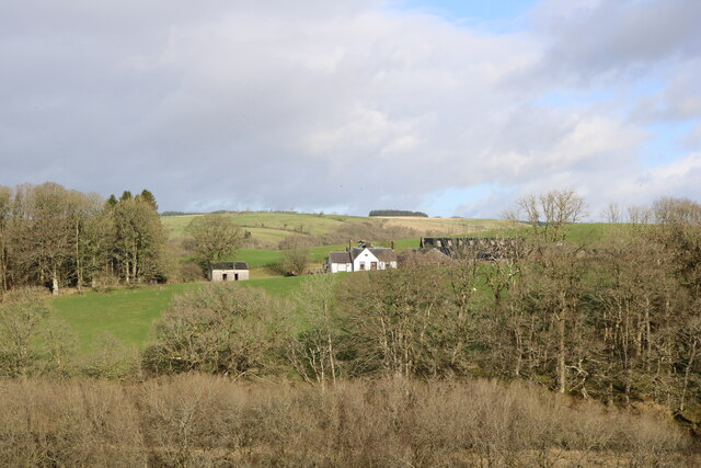
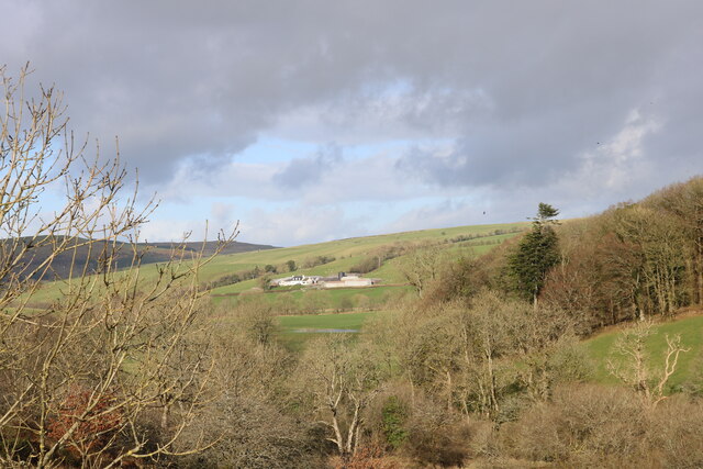
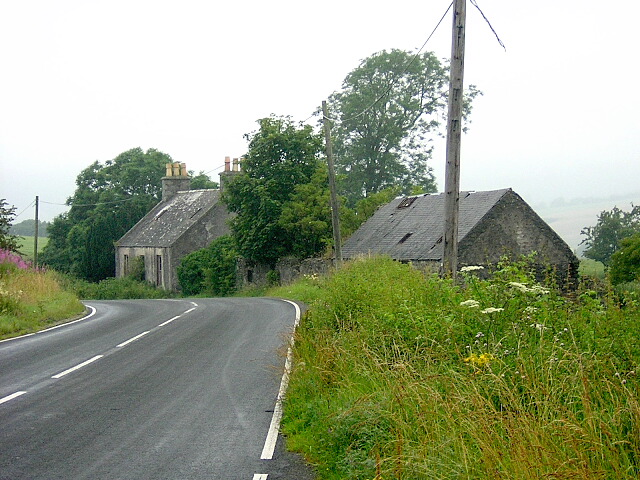
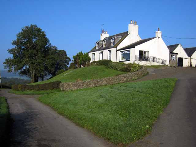
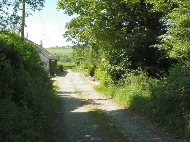
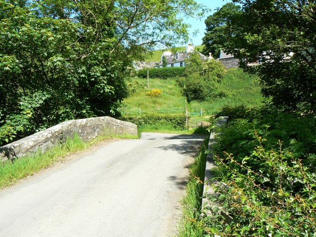
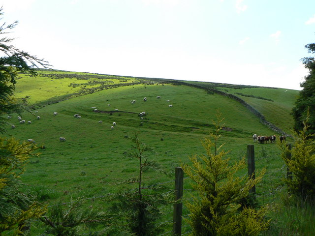
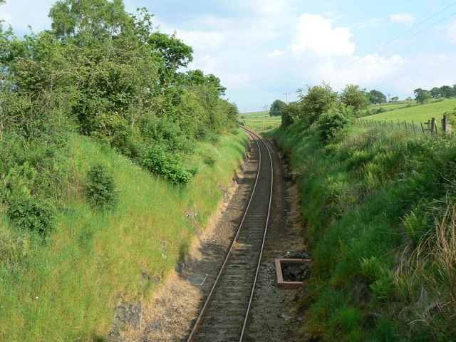
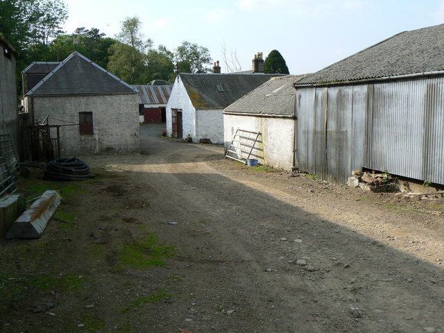
Alticane Glen Images
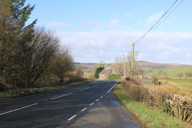
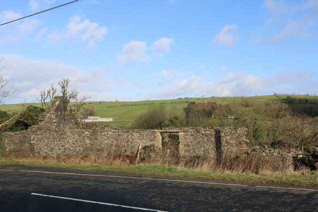
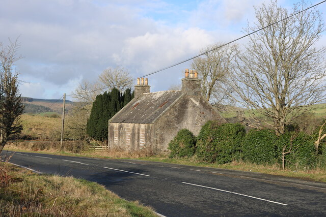
Images are sourced within 2km of 55.13247/-4.8288722 or Grid Reference NX1985. Thanks to Geograph Open Source API. All images are credited.
Alticane Glen is located at Grid Ref: NX1985 (Lat: 55.13247, Lng: -4.8288722)
Unitary Authority: South Ayrshire
Police Authority: Ayrshire
What 3 Words
///mourner.tentacles.juggles. Near Girvan, South Ayrshire
Nearby Locations
Related Wikis

Pinwherry
Pinwherry is a hamlet in the civil parish of Colmonell, in the council area of South Ayrshire, Scotland. It is 8 miles south of Girvan. In 1961 it had...

Pinwherry railway station
Pinwherry railway station served the village of Pinwherry, South Ayrshire, Scotland from 1887 to 1965 on the Girvan and Portpatrick Junction Railway....

Barrhill railway station
Barrhill railway station is a railway station serving the village of Barrhill, South Ayrshire, Scotland. The station is managed by ScotRail and is on the...

Barrhill, South Ayrshire
Barrhill (Scots: Baurhill) is a village in South Ayrshire, Scotland with a population of approximately 400 in 2001.While the surrounding area is predominantly...
Nearby Amenities
Located within 500m of 55.13247,-4.8288722Have you been to Alticane Glen?
Leave your review of Alticane Glen below (or comments, questions and feedback).