Coire Dho
Valley in Inverness-shire
Scotland
Coire Dho

Coire Dho is a picturesque valley located in Inverness-shire, a county in the Scottish Highlands. Nestled amidst the stunning landscape of the Cairngorms National Park, it is a popular destination for outdoor enthusiasts, nature lovers, and those seeking tranquility in the heart of the Scottish Highlands.
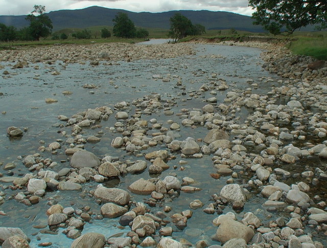
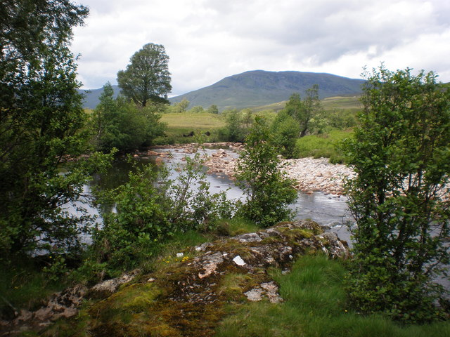
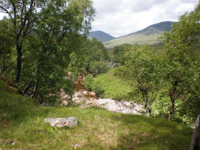
The valley is characterized by its rugged beauty, with steep, imposing cliffs and a meandering river that flows through its center. Coire Dho is renowned for its diverse range of flora and fauna, with heather-clad hillsides, ancient forests, and pristine lochs dotting the landscape. Visitors can expect to encounter a variety of wildlife, including red deer, golden eagles, and ptarmigans, making it a paradise for birdwatchers and wildlife enthusiasts.
The valley offers a range of activities for visitors to enjoy. Hiking and mountain biking are popular pursuits, with numerous trails and paths that wind through the valley and the surrounding hills. The nearby River Spey also provides opportunities for fishing, kayaking, and canoeing. Additionally, Coire Dho is an ideal base for exploring the wider Cairngorms National Park, with its vast expanses of wild, untouched beauty.
For those seeking a peaceful retreat, Coire Dho offers a range of accommodation options, including cozy cottages and charming bed and breakfasts. The valley is also home to a number of traditional Scottish pubs and restaurants, where visitors can sample local delicacies and enjoy a warm, friendly atmosphere.
In summary, Coire Dho is a captivating valley in Inverness-shire, Scotland, offering visitors a chance to immerse themselves in the natural beauty of the Scottish Highlands. With its breathtaking scenery, abundant wildlife, and wide range of outdoor activities, it is a destination that truly captures the essence of the Scottish wilderness.
If you have any feedback on the listing, please let us know in the comments section below.
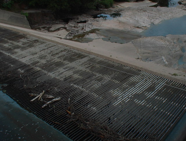
Coire Dho Images
Images are sourced within 2km of 57.178089/-4.9851807 or Grid Reference NH1913. Thanks to Geograph Open Source API. All images are credited.


Coire Dho is located at Grid Ref: NH1913 (Lat: 57.178089, Lng: -4.9851807)
Unitary Authority: Highland
Police Authority: Highlands and Islands
What 3 Words
///goal.educates.peach. Near Cannich, Highland
Nearby Locations
Related Wikis

Aonach Shasuinn
Aonach Shasuinn (888 m) is a mountain in the Northwest Highlands of Scotland. It lies in Inverness-shire, on the southern side of Glen Affric. Taking the...

Sgùrr nan Conbhairean
Sgùrr nan Conbhairean (Scottish Gaelic for 'peak of the dog-men') is a mountain in the Northwest Highlands of Scotland, lying north of Loch Cluanie and...

Tomchrasky
Tomchrasky is a village in Glen Moriston, in Inverness-shire, Scottish Highlands and is in the Scottish council area of Highland. The village lies on the...

Loch Cluanie
Loch Cluanie (Scottish Gaelic: Loch Cluanaidh) is a loch in the Northwest Highlands of Scotland at the south-east end of Glen Shiel. It is a reservoir...
Have you been to Coire Dho?
Leave your review of Coire Dho below (or comments, questions and feedback).