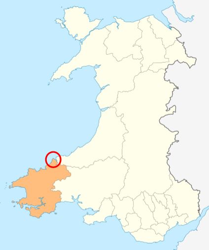
Cwm yr Esgyr
Valley in Pembrokeshire
Wales
Cwm yr Esgyr

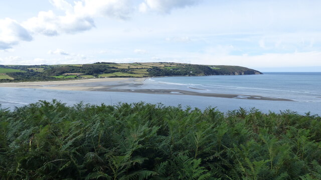
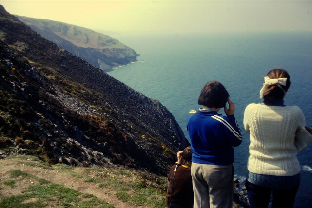
Cwm yr Esgyr is a beautiful valley located in Pembrokeshire, Wales. Nestled between rolling hills and towering cliffs, it offers breathtaking views and a tranquil atmosphere. The valley is located near the village of Dinas Cross, and its name translates to "Valley of the Fish Trap" in Welsh.
The valley is renowned for its natural beauty and diverse wildlife. Lush green meadows, scattered with wildflowers, stretch alongside a small river that flows through the valley. The river is home to a variety of fish species, including trout and salmon, hence the origin of the valley's name. The surrounding hills are covered in dense woodlands, creating a picturesque backdrop.
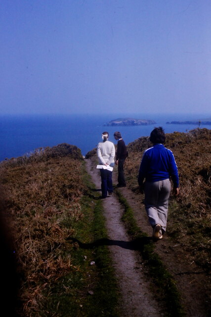
Cwm yr Esgyr is a popular destination for outdoor enthusiasts and nature lovers. The valley offers numerous walking trails and hiking routes, allowing visitors to explore the untouched beauty of the area. One of the most famous trails is the Pembrokeshire Coast Path, which runs along the cliffs overlooking the valley, providing breathtaking vistas of the coastline.
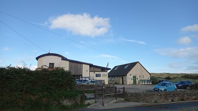
In addition to its natural wonders, Cwm yr Esgyr is also home to a small community of residents. Traditional cottages dot the landscape, adding to the charm and character of the valley. The locals take great pride in preserving the valley's natural environment and promoting sustainable tourism.
Overall, Cwm yr Esgyr is a hidden gem in Pembrokeshire, offering a peaceful retreat for those seeking solace in nature. Its idyllic landscapes, diverse wildlife, and warm community make it a must-visit destination for any traveler.
If you have any feedback on the listing, please let us know in the comments section below.
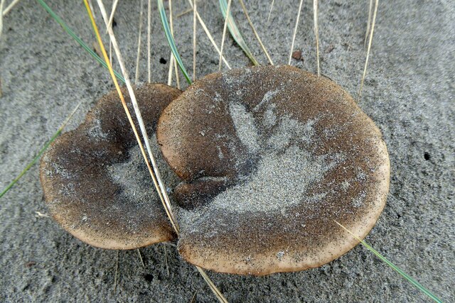
Cwm yr Esgyr Images
Images are sourced within 2km of 52.098737/-4.7239007 or Grid Reference SN1347. Thanks to Geograph Open Source API. All images are credited.


Cwm yr Esgyr is located at Grid Ref: SN1347 (Lat: 52.098737, Lng: -4.7239007)
Unitary Authority: Pembrokeshire
Police Authority: Dyfed Powys
What 3 Words
///vowed.table.offers. Near Cardigan, Ceredigion
Nearby Locations
Related Wikis
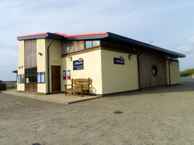
Cardigan Lifeboat Station
Cardigan Lifeboat Station, at Poppit Sands, North Pembrokeshire, near Cardigan, Ceredigion, Wales, is a Royal National Lifeboat Institution (RNLI) lifeboat...
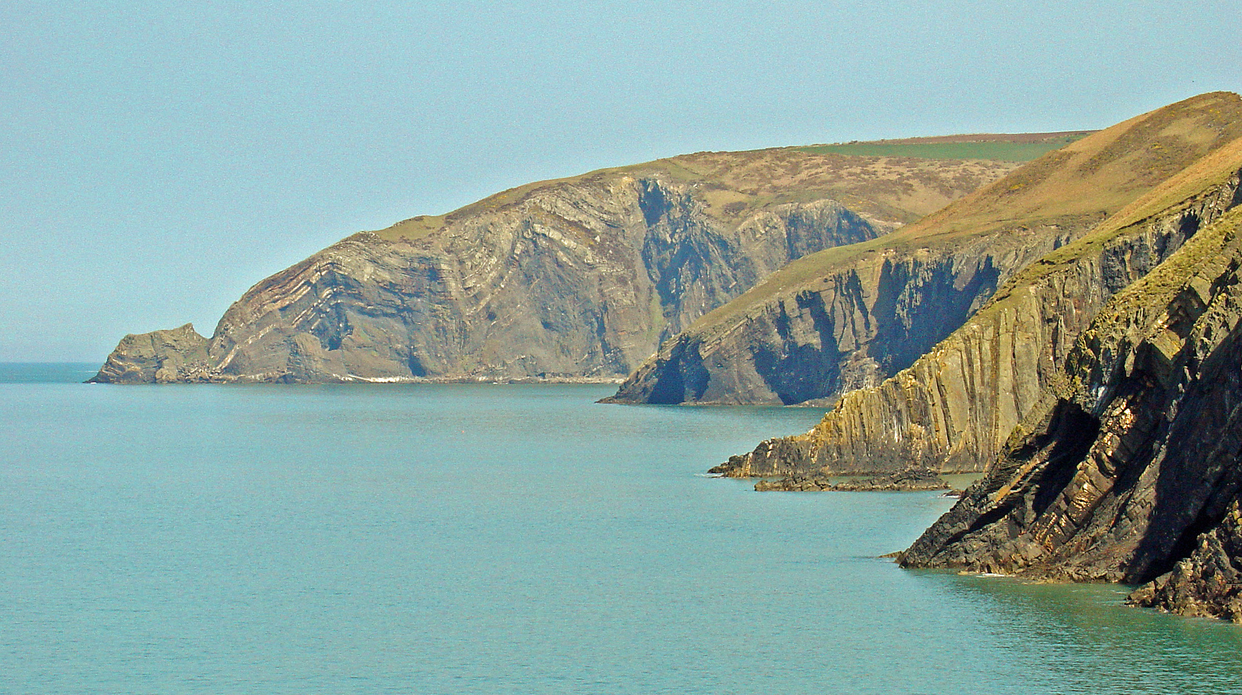
Cemaes Head
Cemaes Head (formerly Cemais, and historically anglicised as Cemmaes, Kemmaes or Kemmes) (Welsh: Pen Cemaes or Trwyn Cemaes) is a headland and nature reserve...
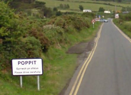
Poppit Sands
Poppit (Welsh: Poppit) is a small, dispersed settlement which lies on the southern side of the estuary of the River Teifi, near Cardigan, in northern Pembrokeshire...

River Teifi
The River Teifi (English: ; Welsh: Afon Teifi, pronounced [ˈavɔn ˈtei̯vi]) in Wales forms the boundary for most of its length between the counties of Ceredigion...

Gwbert
Gwbert (Welsh pronunciation: [ˈɡubɛrt]), also known as Gwbert-on-Sea, is a cliff-top coastal village in Y Ferwig community, Ceredigion, Wales. It lies...
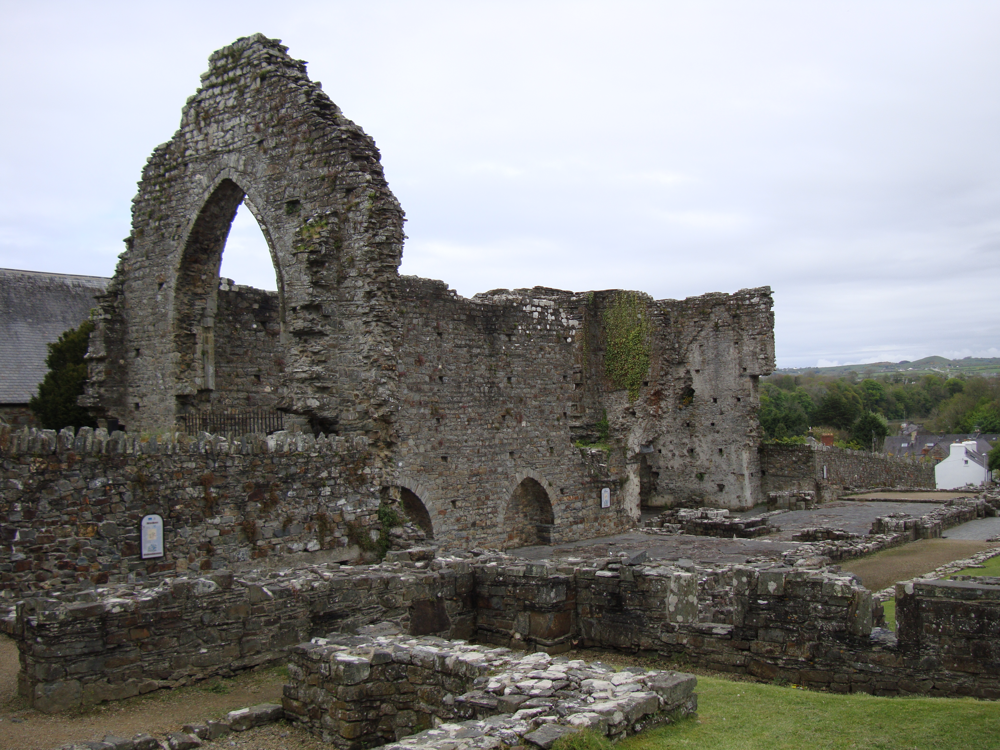
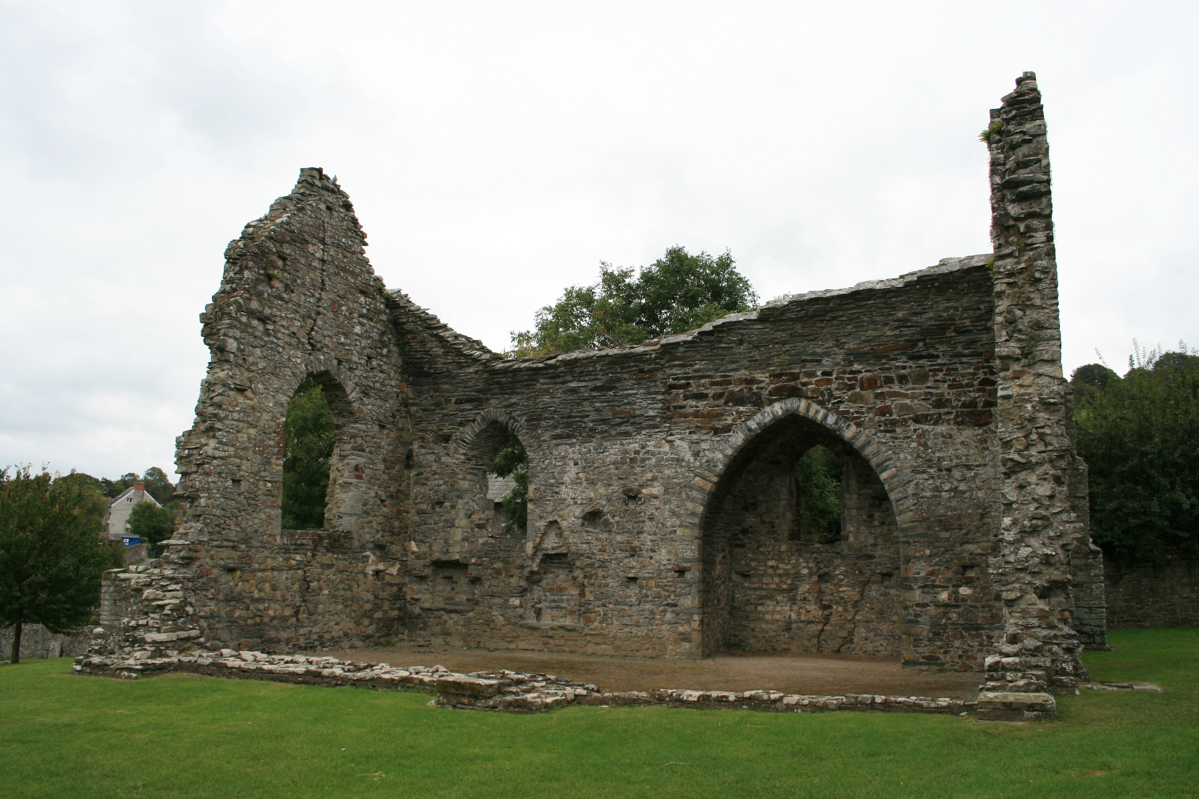
Abbey of St Mary, St Dogmaels
The Abbey of St Mary (also known as St Dogmaels Abbey) is Grade I listed ruined abbey in St Dogmaels in Pembrokeshire, Wales, on the banks of the River...
St Dogmaels
St Dogmaels (Welsh: Llandudoch) is a village, parish and community in Pembrokeshire, Wales, on the estuary of the River Teifi, a mile downstream from the...
Moylgrove
Moylgrove (Welsh: Trewyddel), also spelled Moylegrove, is a village and parish in north Pembrokeshire, Wales, about 4 miles (6.4 km) from Cardigan, in...
Nearby Amenities
Located within 500m of 52.098737,-4.7239007Have you been to Cwm yr Esgyr?
Leave your review of Cwm yr Esgyr below (or comments, questions and feedback).