Lady Wood
Settlement in Warwickshire
England
Lady Wood
Ladywood is a small village located in the county of Warwickshire, England. Situated approximately 5 miles north of the town of Solihull, Ladywood is a quiet and picturesque settlement nestled amidst the beautiful Warwickshire countryside.
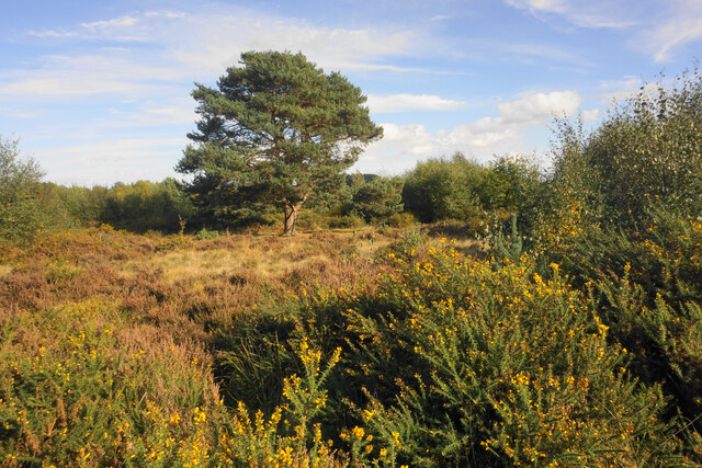
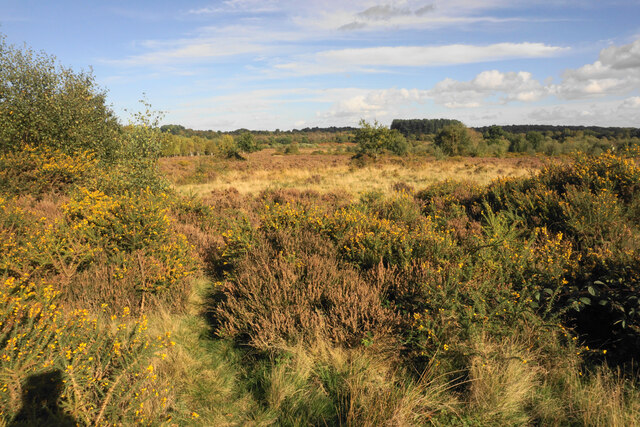
The village is known for its traditional charm, with a range of historic buildings and cottages that reflect its rich heritage. The architecture in Ladywood is predominantly of a rural style, featuring classic Warwickshire brickwork and thatched roofs. The village is surrounded by vast stretches of green fields and meadows, offering a peaceful and idyllic setting.
Despite its small size, Ladywood has a strong sense of community and is home to a close-knit population. The village is served by a local primary school, providing education for the younger residents. There is also a village hall that serves as a hub for various social activities and events, fostering a sense of togetherness among the villagers.
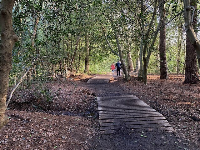
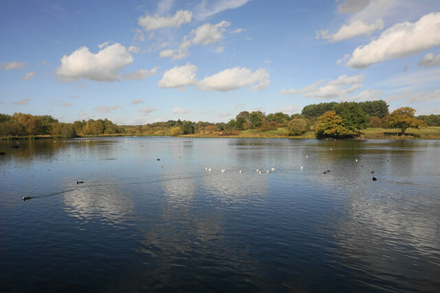
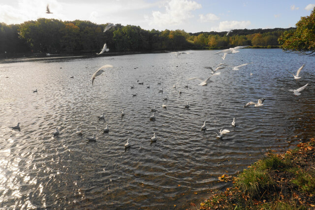
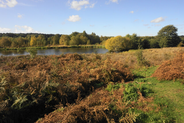
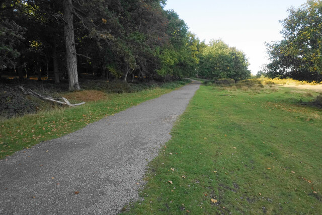
For those seeking outdoor activities, Ladywood offers ample opportunities to explore the surrounding countryside. Nearby, there are several walking and cycling trails that showcase the natural beauty of the Warwickshire landscape. Additionally, the village is just a short drive away from the renowned Packwood House, a National Trust property known for its stunning gardens and historic architecture.
In conclusion, Ladywood, Warwickshire is a charming and tranquil village that boasts a strong community spirit and a beautiful rural setting.
If you have any feedback on the listing, please let us know in the comments section below.
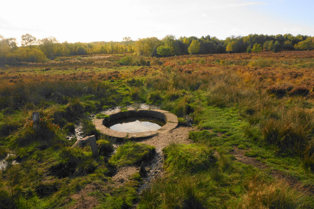
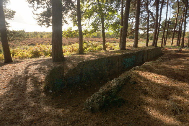
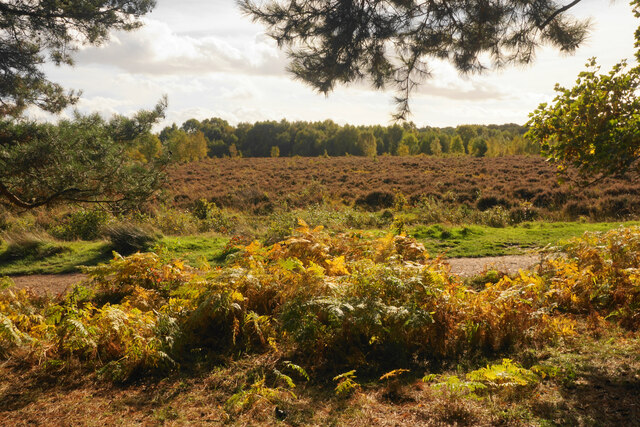
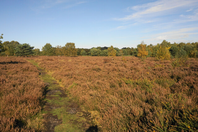
Lady Wood Images
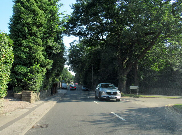
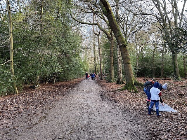
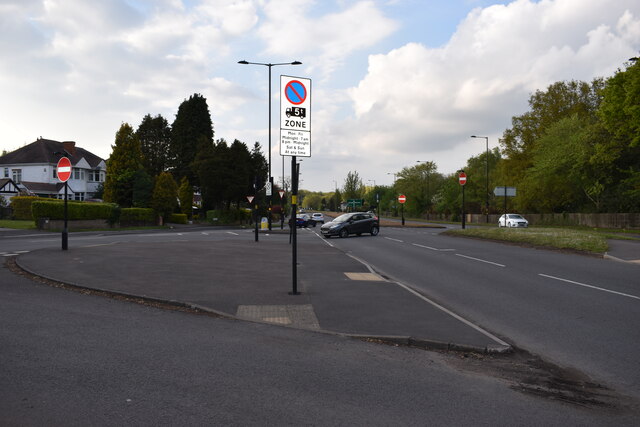
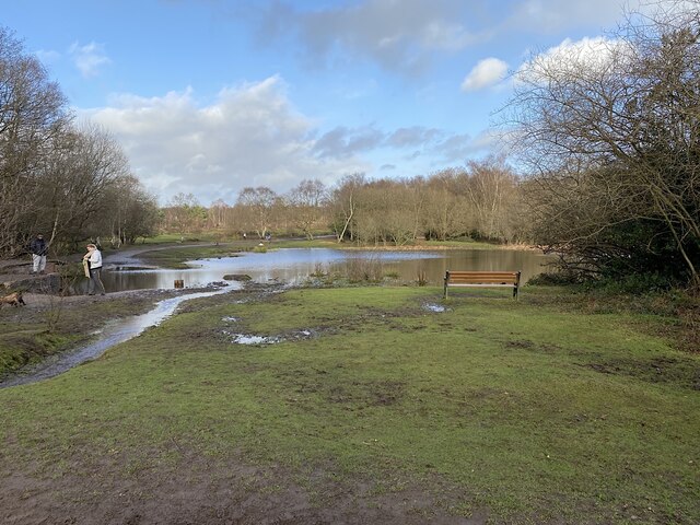
Images are sourced within 2km of 52.570733/-1.8538874 or Grid Reference SP1097. Thanks to Geograph Open Source API. All images are credited.

Lady Wood is located at Grid Ref: SP1097 (Lat: 52.570733, Lng: -1.8538874)
Unitary Authority: Birmingham
Police Authority: West Midlands
What 3 Words
///leaves.idea.fingernails. Near Streetly, West Midlands
Nearby Locations
Related Wikis
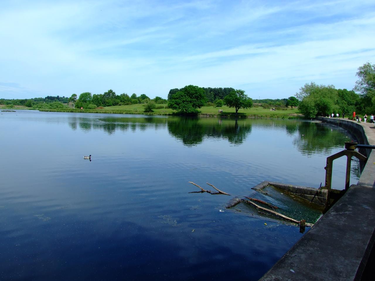
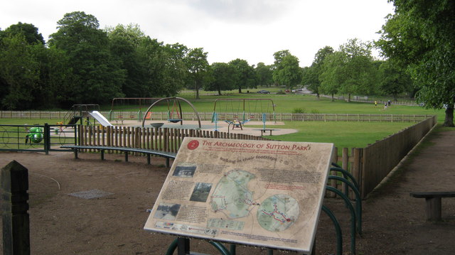
Sutton Park, West Midlands
Sutton Park is a large urban park located in Sutton Coldfield, Birmingham, West Midlands, England. Most of the park is a national nature reserve; large...

Tudor Hill
Tudor Hill is a suburb of Sutton Coldfield, in the county of West Midlands, England. The settlement lies on elevated land to the north-west of Sutton Coldfield...

Sutton Park railway station
Sutton Park railway station was a railway station in Sutton Coldfield, Warwickshire, (in Birmingham since 1974), England, on the Midland Railway's Sutton...

The Streetly Academy
The Streetly Academy (formerly known as The Streetly School) is a large co-educational secondary school in Streetly, West Midlands, England, on the border...
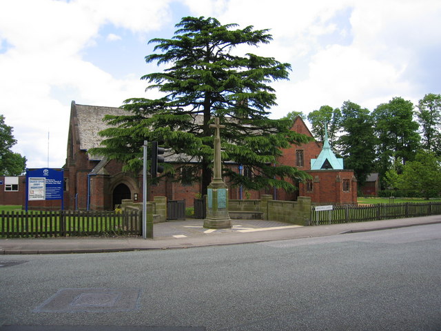
All Saints' Church, Four Oaks
All Saints' Church, Four Oaks is a Grade II* listed Church of England parish church in Four Oaks, Sutton Coldfield. == History == The foundation stone...
Four Oaks, Sutton Coldfield
Four Oaks is an affluent residential area in Sutton Coldfield, West Midlands, lying along the north and east borders of Sutton Park. Four Oaks is situated...
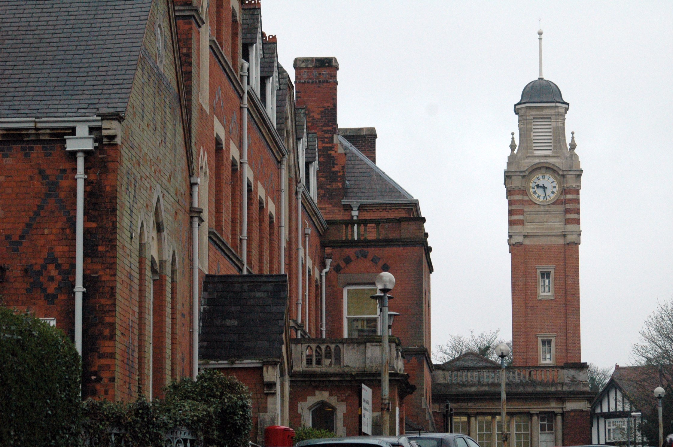
Sutton Coldfield Town Hall
Sutton Coldfield Town Hall is a former hotel and council building in Sutton Coldfield, Birmingham, England. The building is Grade A locally listed. �...
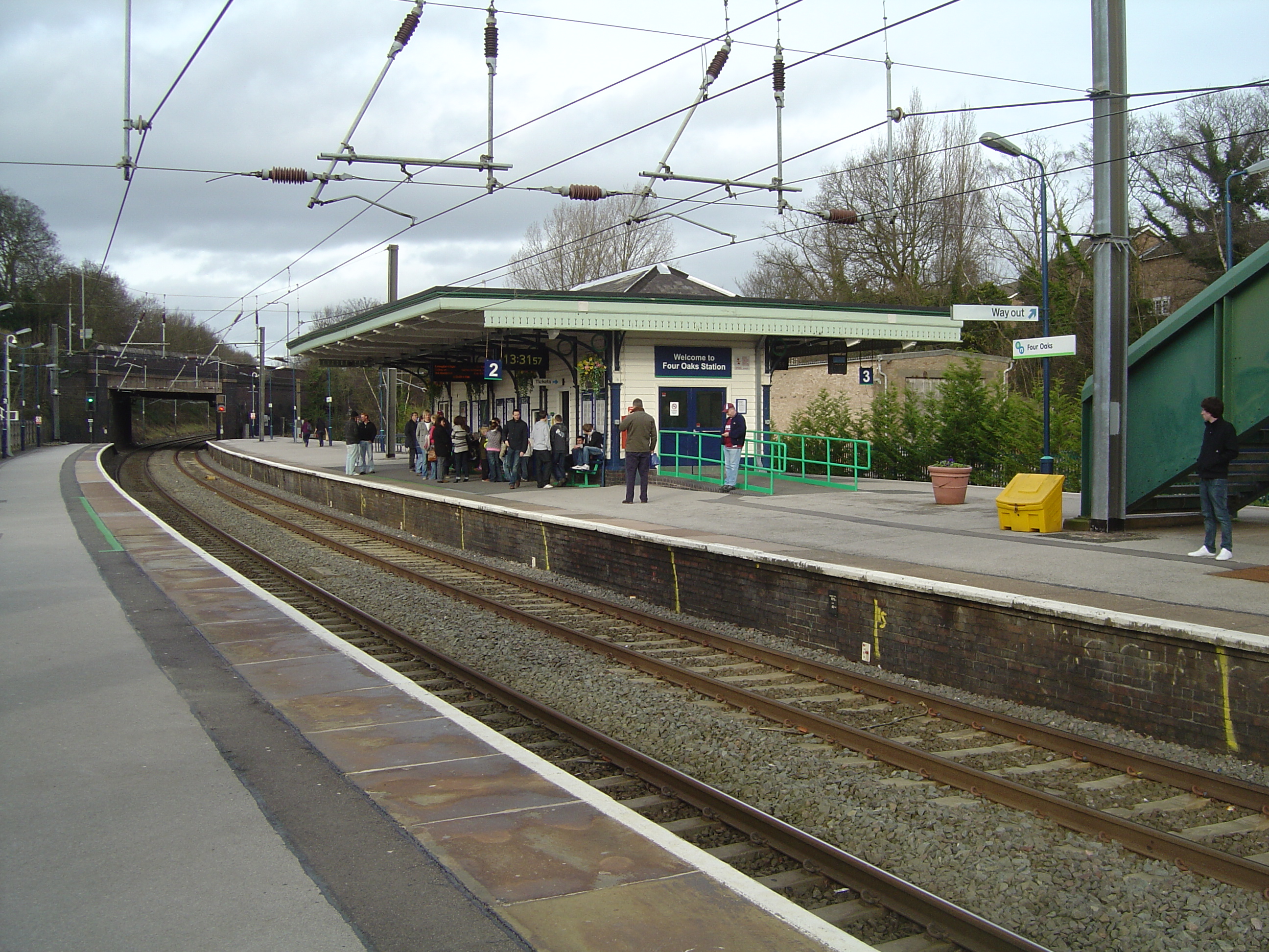
Four Oaks railway station
Four Oaks railway station serves the Four Oaks area of Sutton Coldfield, West Midlands, England. It is situated on the Cross-City Line. The station,...
Nearby Amenities
Located within 500m of 52.570733,-1.8538874Have you been to Lady Wood?
Leave your review of Lady Wood below (or comments, questions and feedback).