Dyffryn-isaf

Valley in Pembrokeshire

Wales

Dyffryn-isaf

Carn Gwiber toward Newport Atop Carn Gwiber (possible Bronze Age round barrow) looking eastward.

The word 'gwiber' means viper and hence this is ostensibly a site for snakes. The carn is surrounded by one large stone wall apparently prehistoric.
Carn Gwiber toward Newport Credit: Jakob Matera-Byford

The requested URL returned error: 429 Too Many Requests

If you have any feedback on the listing, please let us know in the comments section below.
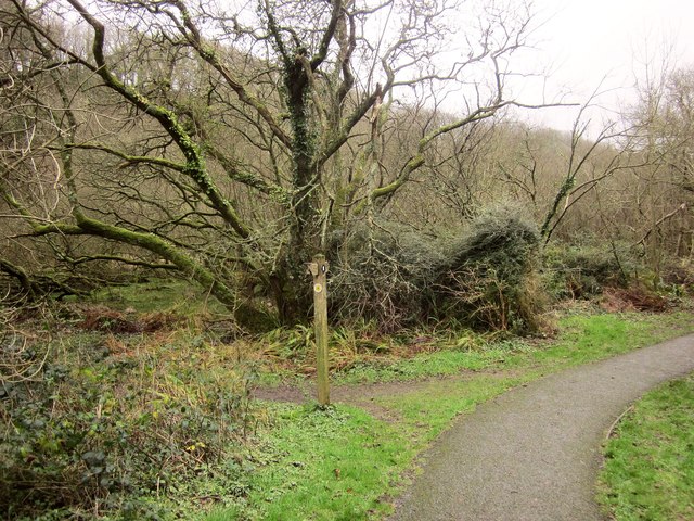
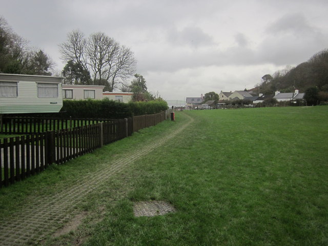
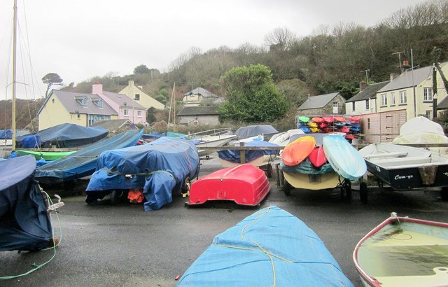
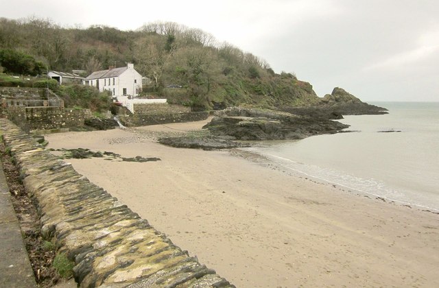
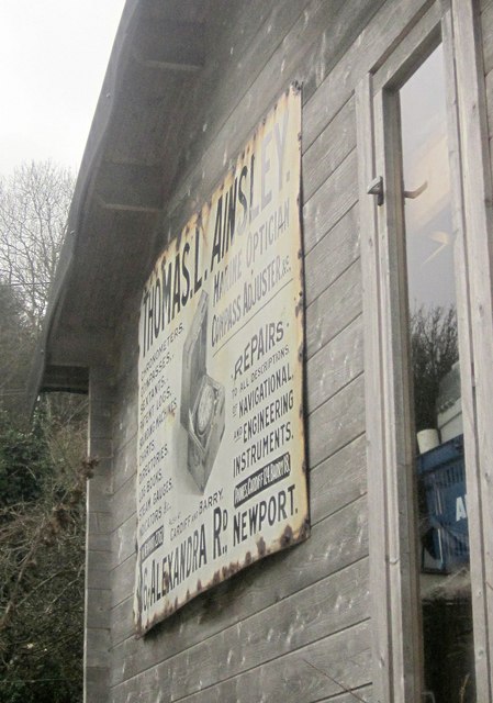
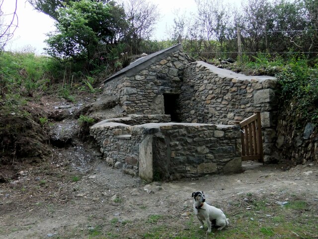
Dyffryn-isaf Images

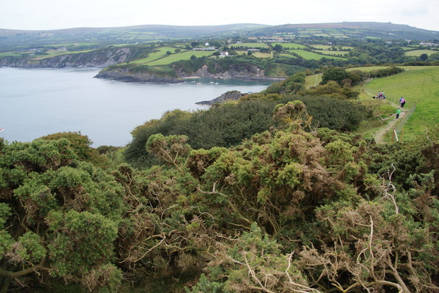
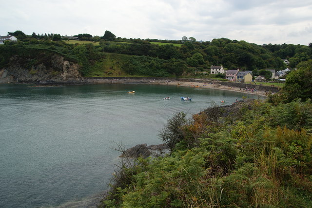
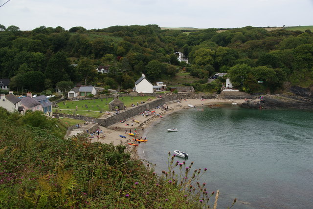
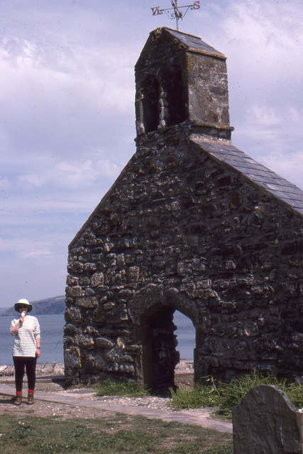
Images are sourced within 2km of 52.013449/-4.8827814 or Grid Reference SN0238. Thanks to Geograph Open Source API. All images are credited.

Carn Gwiber toward Newport Atop Carn Gwiber (possible Bronze Age round barrow) looking eastward.

The word 'gwiber' means viper and hence this is ostensibly a site for snakes. The carn is surrounded by one large stone wall apparently prehistoric.
Carn Gwiber toward Newport
Atop Carn Gwiber (possible Bronze Age round barrow) looking eastward. The word 'gwiber' means viper and hence this is ostensibly a site for snakes. The carn is surrounded by one large stone wall apparently prehistoric.
Sea wall, Cwm-yr-Eglwys: Dinas
St Brynach's Church
St Brynach's Church
Church of St Brynach remains At Cwm-yr-Eglwys
Church of St Brynach remains
At Cwm-yr-Eglwys
Cwm-yr-Eglwys Beach View from the sea wall round to Pig y Baw
Cwm-yr-Eglwys Beach
View from the sea wall round to Pig y Baw
Cwm-yr-Eglwys Beach View to Trywn Isaac with more of the sea defences on the far right
Cwm-yr-Eglwys Beach
View to Trywn Isaac with more of the sea defences on the far right
Remains of St Brynach's church
Churchyard and ruined church, Cwm yr Eglwys All that remains of the church of St Brynach, the rest having been washed away by the so-called Royal Charter Storm of October 1859.   A somewhat melancholy sight, all the more so on a drizzly afternoon. 

As for the meaning of the name, if this were Cornwall rather than West Wales, the wording on the map might well be 'Church Cove'.
Churchyard and ruined church, Cwm yr Eglwys
All that remains of the church of St Brynach, the rest having been washed away by the so-called Royal Charter Storm of October 1859. A somewhat melancholy sight, all the more so on a drizzly afternoon. As for the meaning of the name, if this were Cornwall rather than West Wales, the wording on the map might well be 'Church Cove'.
Non-flowering gorse by the coast path on Dinas Island The gorse on the moors is a blaze of colour currently, so it was a surprise to see this not in flower.
Non-flowering gorse by the coast path on Dinas Island
The gorse on the moors is a blaze of colour currently, so it was a surprise to see this not in flower.
The bay at Cwm-yr-Eglwys This is the view which opens up from the coastal path on Dinas Island.
The bay at Cwm-yr-Eglwys
This is the view which opens up from the coastal path on Dinas Island.
The bay at Cwm-yr-Eglwys Viewed from the south side where it is approached by a narrow road. St Brynach's Church stands in the centre.
The bay at Cwm-yr-Eglwys
Viewed from the south side where it is approached by a narrow road. St Brynach's Church stands in the centre.
Ruins of St Brynach's church, Cwm-yr-Eglwys
Path junction, Cwm-yr-Eglwys Footpath PP16 45/2 joins the coast path here from the left. (The coast path is mapped as an alternative to the strenuous route around Dinas Island). On the left is the swampy woodland shown in <a href="https://www.geograph.org.uk/photo/4529419">SN0139 : Swampy woodland, Cwm Dewi</a>.
Path junction, Cwm-yr-Eglwys
Footpath PP16 45/2 joins the coast path here from the left. (The coast path is mapped as an alternative to the strenuous route around Dinas Island). On the left is the swampy woodland shown in SN0139 : Swampy woodland, Cwm Dewi.
Cwm-yr-Eglwys Caravan Park The easy inland version of the coast path runs through this caravan site to the sea by the ruined church.
Cwm-yr-Eglwys Caravan Park
The easy inland version of the coast path runs through this caravan site to the sea by the ruined church.
Boat park, Cwm-yr-Eglwys From the inland arm of the coast path.
Boat park, Cwm-yr-Eglwys
From the inland arm of the coast path.
Beach, Cwm-yr-Eglwys With Carreg y Defaid (rocks) and the point of Pig-y-Baw, plus the cottage Y Bont.
Beach, Cwm-yr-Eglwys
With Carreg y Defaid (rocks) and the point of Pig-y-Baw, plus the cottage Y Bont.
Old advert, Cwm-yr-Eglwys An advertising sign for Thomas L Ainsley, a marine optician of Alexandra Road, Newport, and fixed to the side of a hut near the car park. I can find a reference to him trading as a bookseller as well as a marine optician, and based in Cardiff, but nothing for Newport. I must search out an old Kelly's ...
Old advert, Cwm-yr-Eglwys
An advertising sign for Thomas L Ainsley, a marine optician of Alexandra Road, Newport, and fixed to the side of a hut near the car park. I can find a reference to him trading as a bookseller as well as a marine optician, and based in Cardiff, but nothing for Newport. I must search out an old Kelly's ...
Pig sty, Pen-y-wennol The pig sty at the site of the now-ruined farm of Pen-y-wennol was restored to  immaculate condition in 2011, when this photo was taken. It has since become very overgrown. It can be viewed from a footpath running along the hillside.

Pen-y-wennol: top of the shuttle, probably a reference to the steep winding road from the village to access the place - although 'gwennol' is also the word for swallow (the bird).
Pig sty, Pen-y-wennol
The pig sty at the site of the now-ruined farm of Pen-y-wennol was restored to immaculate condition in 2011, when this photo was taken. It has since become very overgrown. It can be viewed from a footpath running along the hillside. Pen-y-wennol: top of the shuttle, probably a reference to the steep winding road from the village to access the place - although 'gwennol' is also the word for swallow (the bird).
Show me another place!

Dyffryn-isaf is located at Grid Ref: SN0238 (Lat: 52.013449, Lng: -4.8827814)

Unitary Authority: Pembrokeshire

Police Authority: Dyfed Powys

What 3 Words

///install.fists.stood. Near Newport, Pembrokeshire

Nearby Locations

Dyffryn-isaf

Related Wikis

Cwm-yr-Eglwys

Cwm-yr-Eglwys (English: Valley of the Church) is a hamlet in a picturesque cove on the eastern side of the Dinas Island peninsula in the community of Dinas...

Brynhenllan

Bryn-henllan, Bryn Henllan or Brynhenllan is a small settlement in the community of Dinas Cross, north Pembrokeshire, Wales, just north of the A487 road...

Cwm Dewi

Cwm Dewi is a Site of Special Scientific Interest (or SSSI) in Pembrokeshire, South Wales. It has been designated as a Site of Special Scientific Interest...

Dinas Cross

Dinas Cross (Welsh: Dinas) is a village, a community and a former parish in Pembrokeshire, Wales. Located between Fishguard and Newport in the Pembrokeshire...

Nearby Amenities

Located within 500m of 52.013449,-4.8827814
Aberfforest Waterfall
Waterway: waterfall
Lat/Long: 52.0169648/-4.8799154
Ford: stepping_stones
Lat/Long: 52.0172386/-4.8803261
Wyban Wynt
Building: house
Lat/Long: 52.014631/-4.8892181
Tai Bach
Place: locality
Lat/Long: 52.0165159/-4.8827255
Ford: stepping_stones
Lat/Long: 52.0169565/-4.8797792
Post Box
Lat/Long: 52.0119126/-4.8871341
Give Way
Direction: backward
Lat/Long: 52.0121506/-4.8878944
Power: pole
Lat/Long: 52.0101734/-4.8794532
Power: pole
Lat/Long: 52.0106092/-4.8783374
Power: pole
Lat/Long: 52.0106785/-4.8796248
Power: pole
Lat/Long: 52.0107627/-4.8811752
Power: pole
Lat/Long: 52.0108156/-4.882248
Power: pole
Lat/Long: 52.0109774/-4.8856142
Power: pole
Lat/Long: 52.0110335/-4.8866791
Power: pole
Lat/Long: 52.0111392/-4.8887497
Power: pole
Lat/Long: 52.0102658/-4.8811913
Power: pole
Lat/Long: 52.0104276/-4.8851985
Power: pole
Lat/Long: 52.0104722/-4.8863867
Power: pole
Lat/Long: 52.0105366/-4.8878726
Direction: 95
Generator Method: photovoltaic
Generator Output Electricity: yes
Generator Solar Modules: 7
Generator Source: solar
Generator Type: solar_photovoltaic_panel
Location: roof
Power: generator
Lat/Long: 52.0094414/-4.884606
Direction: 275
Generator Method: photovoltaic
Generator Output Electricity: yes
Generator Solar Modules: 7
Generator Source: solar
Generator Type: solar_photovoltaic_panel
Location: roof
Power: generator
Lat/Long: 52.0094444/-4.8846473
The data included in this document is from www.openstreetmap.org. The data is made available under ODbL.

Have you been to Dyffryn-isaf?

Leave your review of Dyffryn-isaf below (or comments, questions and feedback).