Glen Rosa

Valley in Buteshire

Scotland

Glen Rosa

Gate in deer fence
Gate in deer fence Credit: Mick Garratt

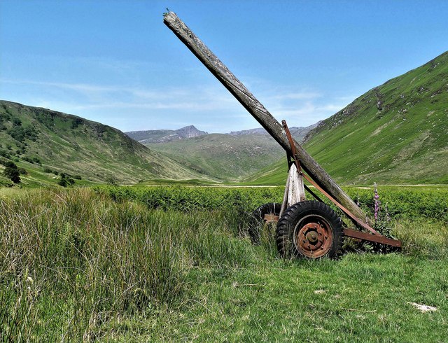
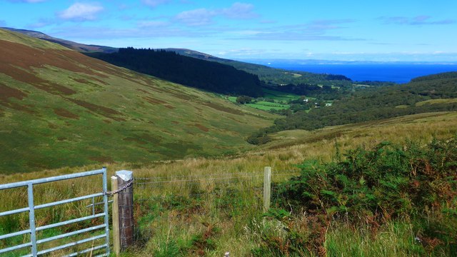
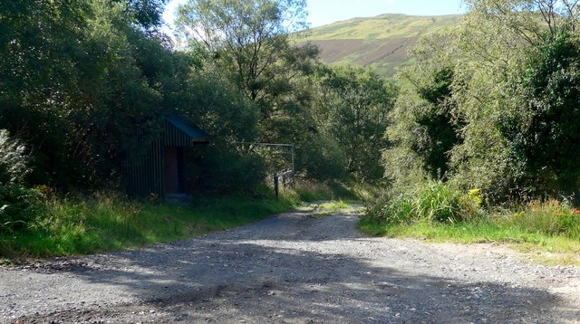
Glen Rosa is a picturesque valley located on the Isle of Arran in Buteshire, Scotland. The valley is characterized by its rugged landscape, with steep slopes and rocky terrain, making it a popular destination for hikers and nature enthusiasts. The valley is surrounded by rolling hills and mountains, providing stunning views of the surrounding countryside.

Glen Rosa is home to a variety of plant and animal species, including rare birds and wildflowers. The valley is also known for its diverse geology, with granite outcrops and quartzite cliffs adding to its natural beauty.

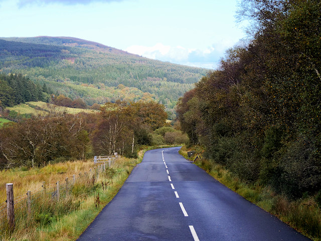
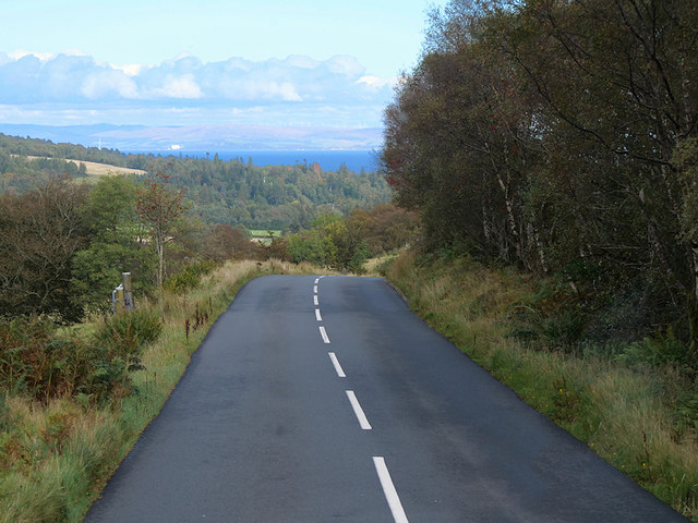
Visitors to Glen Rosa can explore a network of hiking trails that wind through the valley, offering opportunities to spot wildlife and enjoy the peaceful surroundings. The valley is also a popular spot for picnicking and camping, with designated camping areas available for overnight stays.

Overall, Glen Rosa is a hidden gem in Buteshire, offering visitors a chance to immerse themselves in the stunning natural beauty of the Scottish countryside.

If you have any feedback on the listing, please let us know in the comments section below.

Glen Rosa Images

Images are sourced within 2km of 55.59541/-5.1911765 or Grid Reference NR9938. Thanks to Geograph Open Source API. All images are credited.

Gate in deer fence
Gate in deer fence
Goatfell  Path Path to Goatfell at deer fence gate.
Goatfell Path
Path to Goatfell at deer fence gate.
Boulders in flow of the Garbh Allt The water among the boulders is the Garbh Allt flowing downstream to join the Glenrosa Water in Glen Rosa.
The steep broken slope across the glen rises to Glenshant Hill which is the terminal top of the south ridge of Goat Fell.
Boulders in flow of the Garbh Allt
The water among the boulders is the Garbh Allt flowing downstream to join the Glenrosa Water in Glen Rosa. The steep broken slope across the glen rises to Glenshant Hill which is the terminal top of the south ridge of Goat Fell.
Glen Rosa, Arran
Glen Rosa, Arran
Goatfell Path (cairn) Looking towards Beinn Nuis and Beinn Tarsuinn from the Goatfell tourist path
Goatfell Path (cairn)
Looking towards Beinn Nuis and Beinn Tarsuinn from the Goatfell tourist path
Garbh Allt footbridge, Glen Rosa The path up the glen with Cir Mhor (798m) straight ahead.
Garbh Allt footbridge, Glen Rosa
The path up the glen with Cir Mhor (798m) straight ahead.
Cir Mhor from Glen Rosa
Goatfell Path Looking towards Goatfell from the path
Goatfell Path
Looking towards Goatfell from the path
Walking the Glen Rosa path
Garbh Allt - Isle of Arran Looking towards Beinn Nuis from the Garbh Allt.
Garbh Allt - Isle of Arran
Looking towards Beinn Nuis from the Garbh Allt.
Lower Glen Rosa - Isle of Arran This device is known as a sulky. A sulky goes behind a winch tractor with a pulley on the end of the pole for the winch wire to run through. Then snigged onto the felled trees, which then would be skidded out of the woods by the tractor and sulky.
This sulky is a remnant from when this side of the Rosa Wood was felled.
Lower Glen Rosa - Isle of Arran
This device is known as a sulky. A sulky goes behind a winch tractor with a pulley on the end of the pole for the winch wire to run through. Then snigged onto the felled trees, which then would be skidded out of the woods by the tractor and sulky. This sulky is a remnant from when this side of the Rosa Wood was felled.
Glen Rosa - Isle of Arran Looking towards Cir Mhor from the Garbh Allt footbridge.
Glen Rosa - Isle of Arran
Looking towards Cir Mhor from the Garbh Allt footbridge.
Isle of Arran, The String Road near to Brodick, The String Road (or The String) is the main cross-island route on Arran. The 10-mile road bisects Arran from the island capital of Brodick on the east coast to Blackwaterfoot on the west coast, rising to 233m (768 feet) as it climbs over Gleann an t-Suidhe. It is now designated as the B880.
Isle of Arran, The String Road near to Brodick,
The String Road (or The String) is the main cross-island route on Arran. The 10-mile road bisects Arran from the island capital of Brodick on the east coast to Blackwaterfoot on the west coast, rising to 233m (768 feet) as it climbs over Gleann an t-Suidhe. It is now designated as the B880.
The String Road (B880) near Brodick The String Road (or The String) is the main cross-island route on Arran. The 10-mile road bisects Arran from the island capital of Brodick on the east coast to Blackwaterfoot on the west coast, rising to 233m (768 feet) as it climbs over Gleann an t-Suidhe. It is now designated as the B880.
The String Road (B880) near Brodick
The String Road (or The String) is the main cross-island route on Arran. The 10-mile road bisects Arran from the island capital of Brodick on the east coast to Blackwaterfoot on the west coast, rising to 233m (768 feet) as it climbs over Gleann an t-Suidhe. It is now designated as the B880.
Looking up Glen Rosa With Cir Mhòr dominating the head of the glen.  

A popular place to take a photo in the 1960s.  I have pinpointed the position trusting that Nigel Brown's location for this tree is accurate. His image was taken in April 1963 <a href="https://www.geograph.org.uk/photo/2931260">NR9838 : Looking up Glen Rosa</a> 13 months earlier.  My hazy recollection was that this tree was an outlier and even the last tree you pass going up the glen.
Looking up Glen Rosa
With Cir Mhòr dominating the head of the glen. A popular place to take a photo in the 1960s. I have pinpointed the position trusting that Nigel Brown's location for this tree is accurate. His image was taken in April 1963 NR9838 : Looking up Glen Rosa 13 months earlier. My hazy recollection was that this tree was an outlier and even the last tree you pass going up the glen.
Glen Shurig from The String The waters of the Firth of Clyde in the distance.
Glen Shurig from The String
The waters of the Firth of Clyde in the distance.
West Glenshurig roadend
Glen Rosa Looking upstream on the Glenrosa Water.
Glen Rosa
Looking upstream on the Glenrosa Water.
Show me another place!

Glen Rosa is located at Grid Ref: NR9938 (Lat: 55.59541, Lng: -5.1911765)

Unitary Authority: North Ayrshire

Police Authority: Ayrshire

What 3 Words

///sisters.listen.admiral. Near Brodick, North Ayrshire

Nearby Locations

Glen Rosa

Related Wikis

Glen Rosa

Glen Rosa (Scottish Gaelic: Gleann Ruasaidh) is a glen near Goat Fell on the Isle of Arran in the Firth of Clyde, western Scotland. Glen Rosa can be reached...

Home Farm, Brodick

Home Farm was the estate farm for Brodick Castle. It now houses a series of tourist enterprises including a cheese shop and Arran Aromatics. This was the...

Arran Hydro-Electric Schemes

There are several hydro-electric schemes on the Isle of Arran, an island in the Firth of Clyde, Scotland. Most of them were installed during the early...

Cladach

Note: Cladach is a general Scottish Gaelic word for "beach" or "shore" and occurs in many Scottish placenames Cladach (Scottish Gaelic: An Cladach) is...

Nearby Amenities

Located within 500m of 55.59541,-5.1911765
The data included in this document is from www.openstreetmap.org. The data is made available under ODbL.

Have you been to Glen Rosa?

Leave your review of Glen Rosa below (or comments, questions and feedback).