Gleann Casail
Valley in Ross-shire
Scotland
Gleann Casail
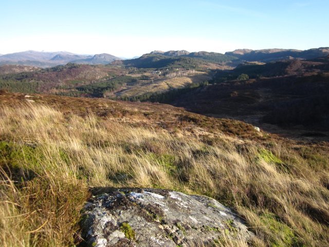
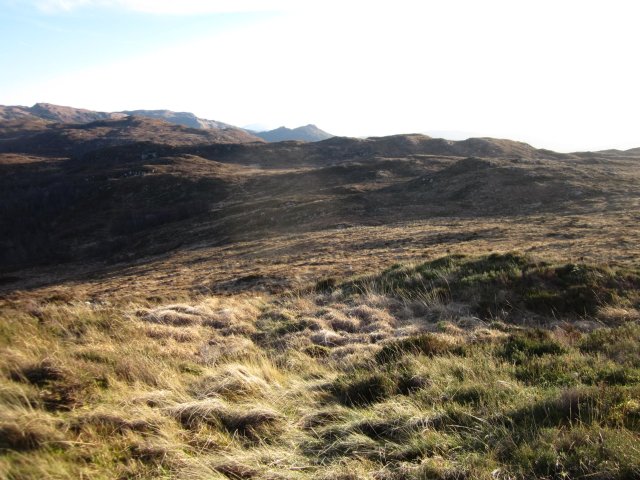
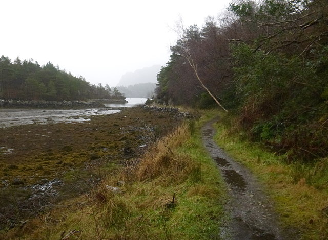
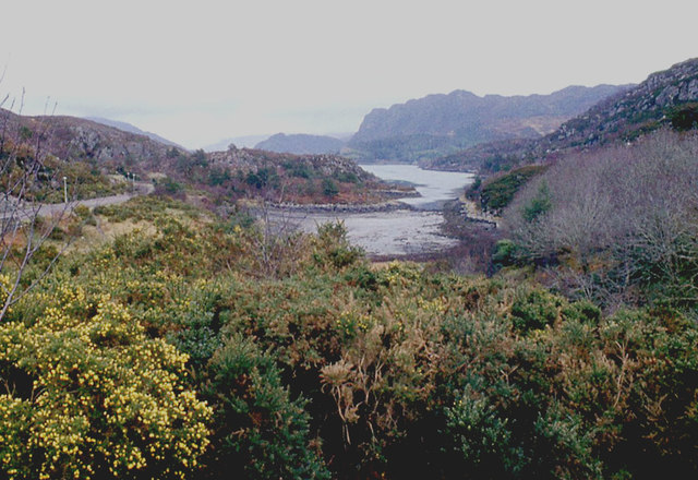
Gleann Casail is a picturesque valley located in the county of Ross-shire, in the Scottish Highlands. Situated in the western part of the county, it is surrounded by stunning natural beauty and offers a peaceful retreat for nature lovers and outdoor enthusiasts.
The valley is characterized by rolling hills, lush green meadows, and meandering streams that flow through the landscape. It is encompassed by towering mountains, with the peaks of Ben Wyvis and Slioch dominating the skyline. These mountains provide a dramatic backdrop and offer breathtaking views to visitors exploring the area.
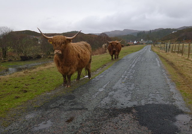
Gleann Casail is home to a diverse range of flora and fauna, with the valley serving as a haven for wildlife. Red deer, golden eagles, and ptarmigans are just a few of the species that can be spotted here, making it a popular destination for birdwatching and animal spotting.
The valley also offers numerous opportunities for outdoor activities. Hiking and walking trails crisscross the landscape, allowing visitors to explore the stunning scenery at their own pace. Fishing is another popular activity, with the streams and lochs teeming with trout and salmon.
For those interested in history and culture, Gleann Casail is rich in archaeological sites and ancient ruins. The remains of Iron Age settlements and Bronze Age burial mounds can be found scattered throughout the valley, providing a glimpse into the area's past.
Overall, Gleann Casail is a hidden gem in Ross-shire, offering a tranquil and beautiful setting for visitors to immerse themselves in the natural wonders of the Scottish Highlands.
If you have any feedback on the listing, please let us know in the comments section below.
Gleann Casail Images
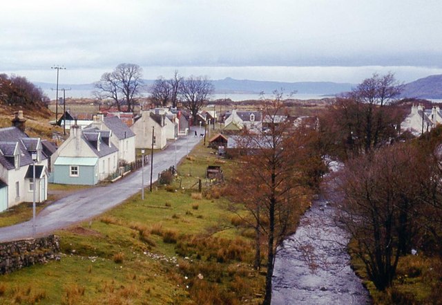
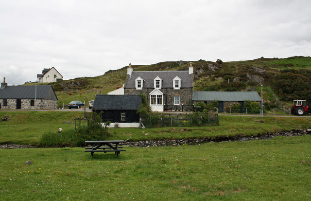
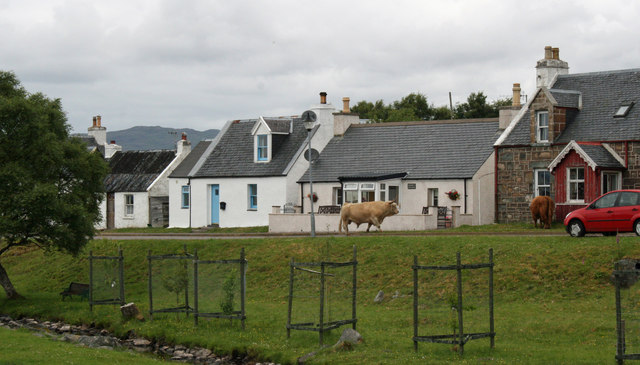
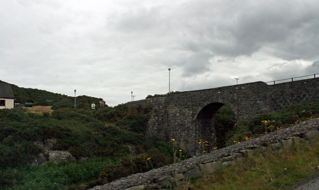
Images are sourced within 2km of 57.31888/-5.6654488 or Grid Reference NG7931. Thanks to Geograph Open Source API. All images are credited.


Gleann Casail is located at Grid Ref: NG7931 (Lat: 57.31888, Lng: -5.6654488)
Unitary Authority: Highland
Police Authority: Highlands and Islands
What 3 Words
///along.incensed.cork. Near Kyleakin, Highland
Nearby Locations
Related Wikis
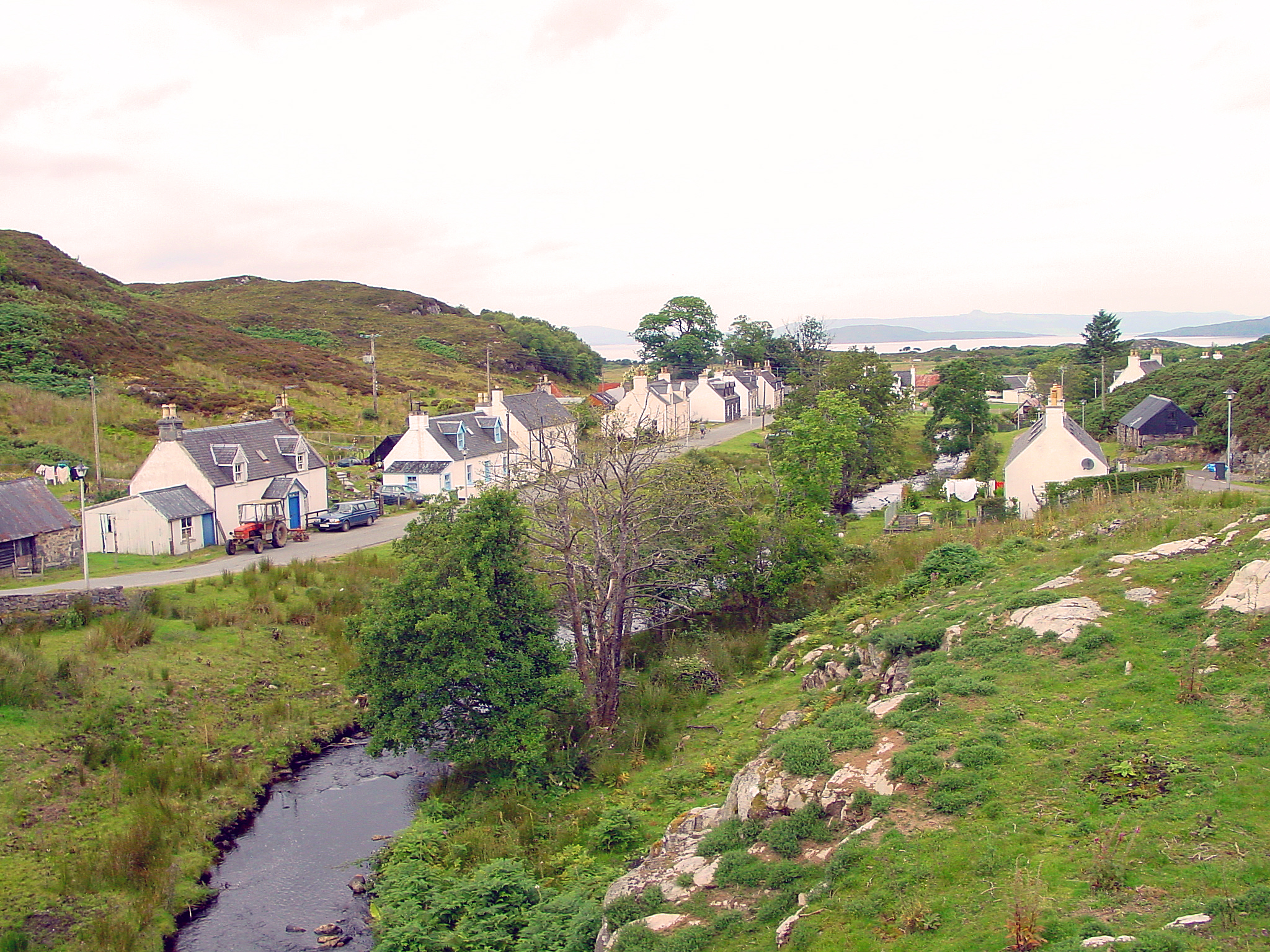
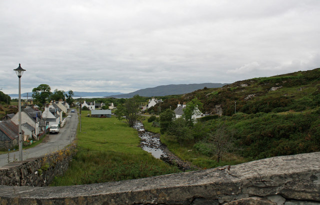
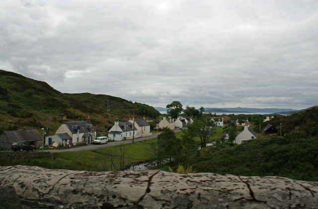
Duirinish, Lochalsh
Duirinish (Scottish Gaelic: Diùirinis) is a hamlet in Lochalsh near Plockton in Ross-shire, Scottish Highlands and is in the Scottish council area of Highland...

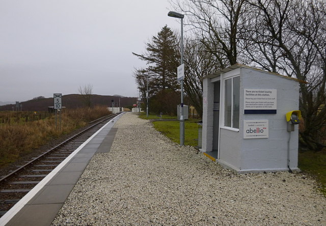
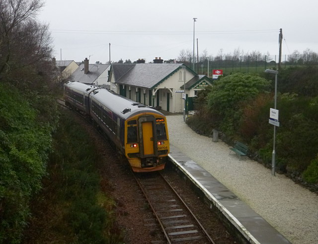
Duirinish railway station
Duirinish railway station is a remote railway station on the Kyle of Lochalsh Line near the settlement of Duirinish in the Highlands, northern Scotland...

Drumbuie
Drumbuie is a settlement situated less than 1 mile southwest of Duirinish in Lochalsh, Scottish Highlands and is in the council area of Highland. The fishing...

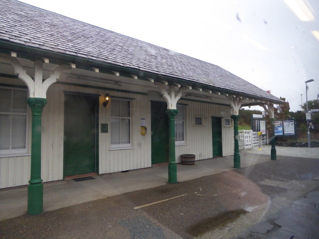
Plockton railway station
Plockton railway station is a railway station on the Kyle of Lochalsh Line, serving the village of Plockton in the Highlands, north-west Scotland. The...
Nearby Amenities
Located within 500m of 57.31888,-5.6654488Have you been to Gleann Casail?
Leave your review of Gleann Casail below (or comments, questions and feedback).