Lochan na Bà Ruaidhe
Lake, Pool, Pond, Freshwater Marsh in Ross-shire
Scotland
Lochan na Bà Ruaidhe
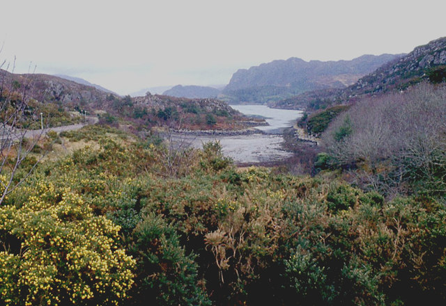
Lochan na Bà Ruaidhe is a picturesque freshwater loch located in Ross-shire, Scotland. Nestled amidst the stunning landscape of the Scottish Highlands, this tranquil water body is a popular spot for nature enthusiasts and those seeking solitude in the wilderness.
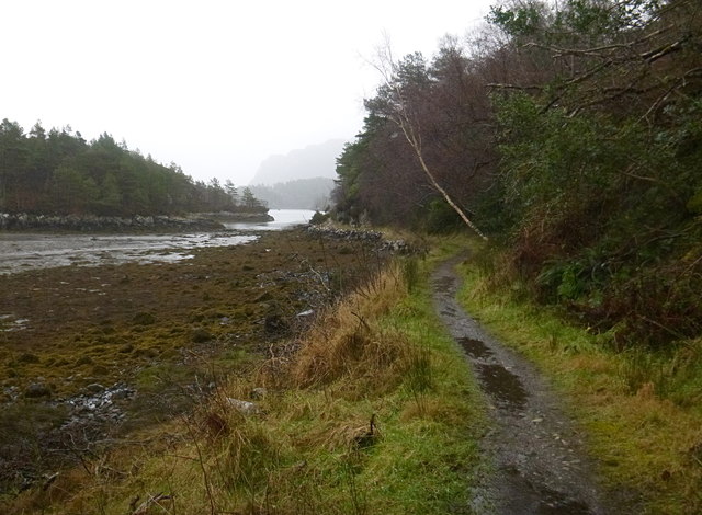
The loch is relatively small, measuring approximately 1 kilometer in length and half a kilometer in width. It is surrounded by rolling hills and dense forests, creating a captivating and serene atmosphere. The water of Lochan na Bà Ruaidhe is crystal clear and reflects the surrounding scenery, making it a perfect spot for photography and painting.
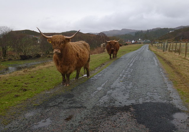
The loch is home to a variety of freshwater plant species, including water lilies and reeds, creating a vibrant and colorful ecosystem. It also supports a diverse range of aquatic life, including trout and various species of waterfowl. Birdwatchers can often spot herons, ducks, and geese roaming around the shores of the loch.
Visitors can enjoy a leisurely walk around the loch, taking in the breathtaking views and immersing themselves in the tranquility of the surroundings. Fishing is also a popular activity, with anglers trying their luck at catching trout in the peaceful waters.
Overall, Lochan na Bà Ruaidhe offers a peaceful retreat from the hustle and bustle of everyday life. With its stunning natural beauty and abundant wildlife, it is a must-visit destination for anyone seeking a truly immersive experience in the Scottish Highlands.
If you have any feedback on the listing, please let us know in the comments section below.
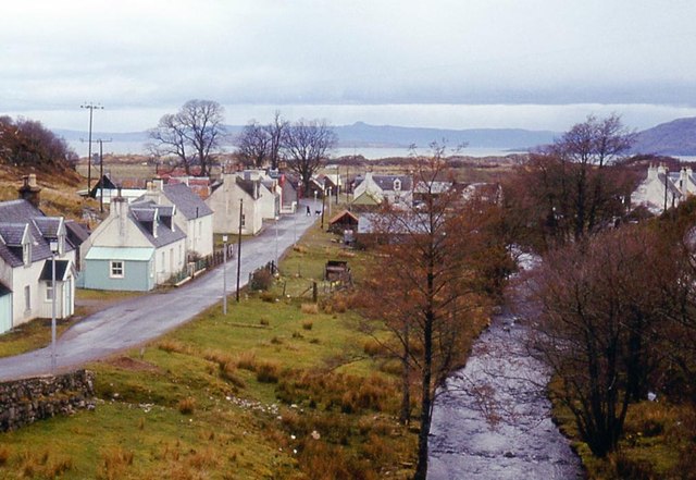
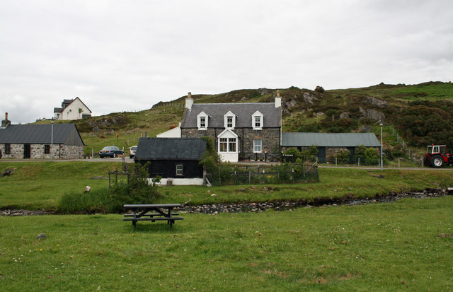
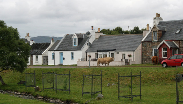
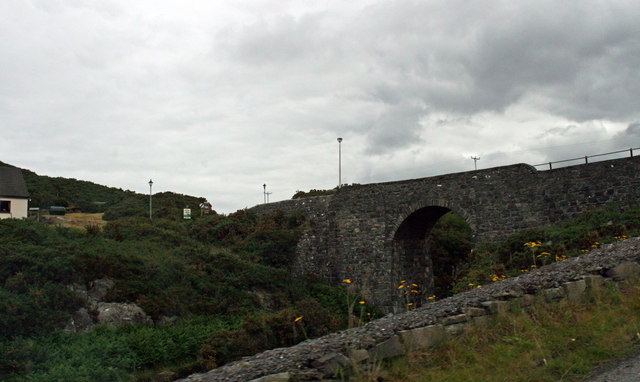
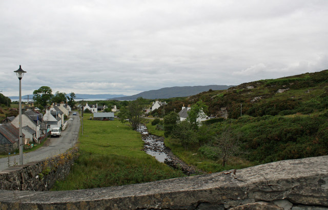
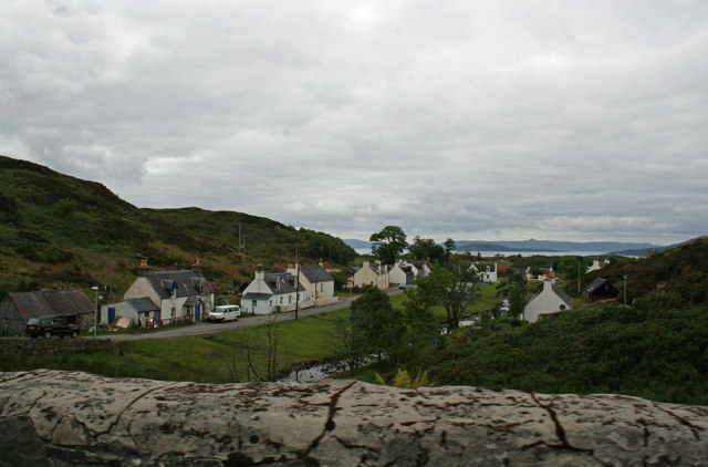
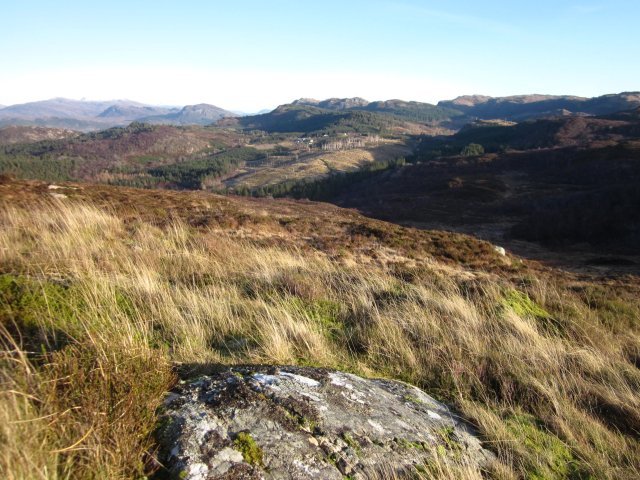
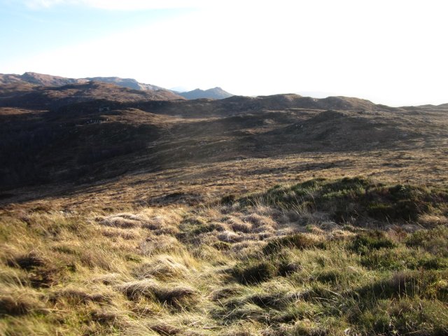
Lochan na Bà Ruaidhe Images
Images are sourced within 2km of 57.324761/-5.6687941 or Grid Reference NG7931. Thanks to Geograph Open Source API. All images are credited.


Lochan na Bà Ruaidhe is located at Grid Ref: NG7931 (Lat: 57.324761, Lng: -5.6687941)
Unitary Authority: Highland
Police Authority: Highlands and Islands
What 3 Words
///fairly.torso.brother. Near Kyleakin, Highland
Nearby Locations
Related Wikis

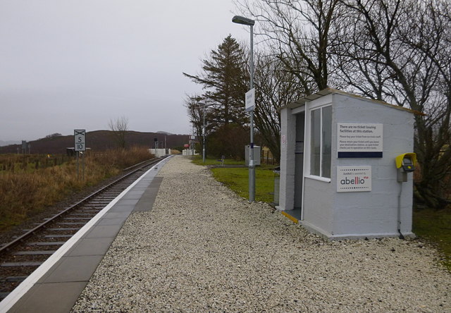
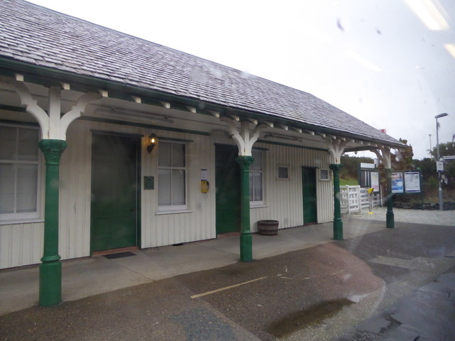
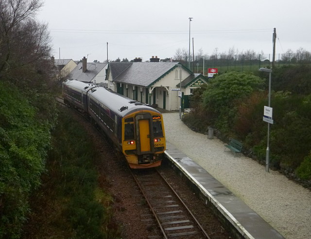
Plockton railway station
Plockton railway station is a railway station on the Kyle of Lochalsh Line, serving the village of Plockton in the Highlands, north-west Scotland. The...

Plockton High School
Plockton High School is a 221-pupil high school in the village of Plockton, Scotland. The catchment area for the school stretches from Applecross in the...
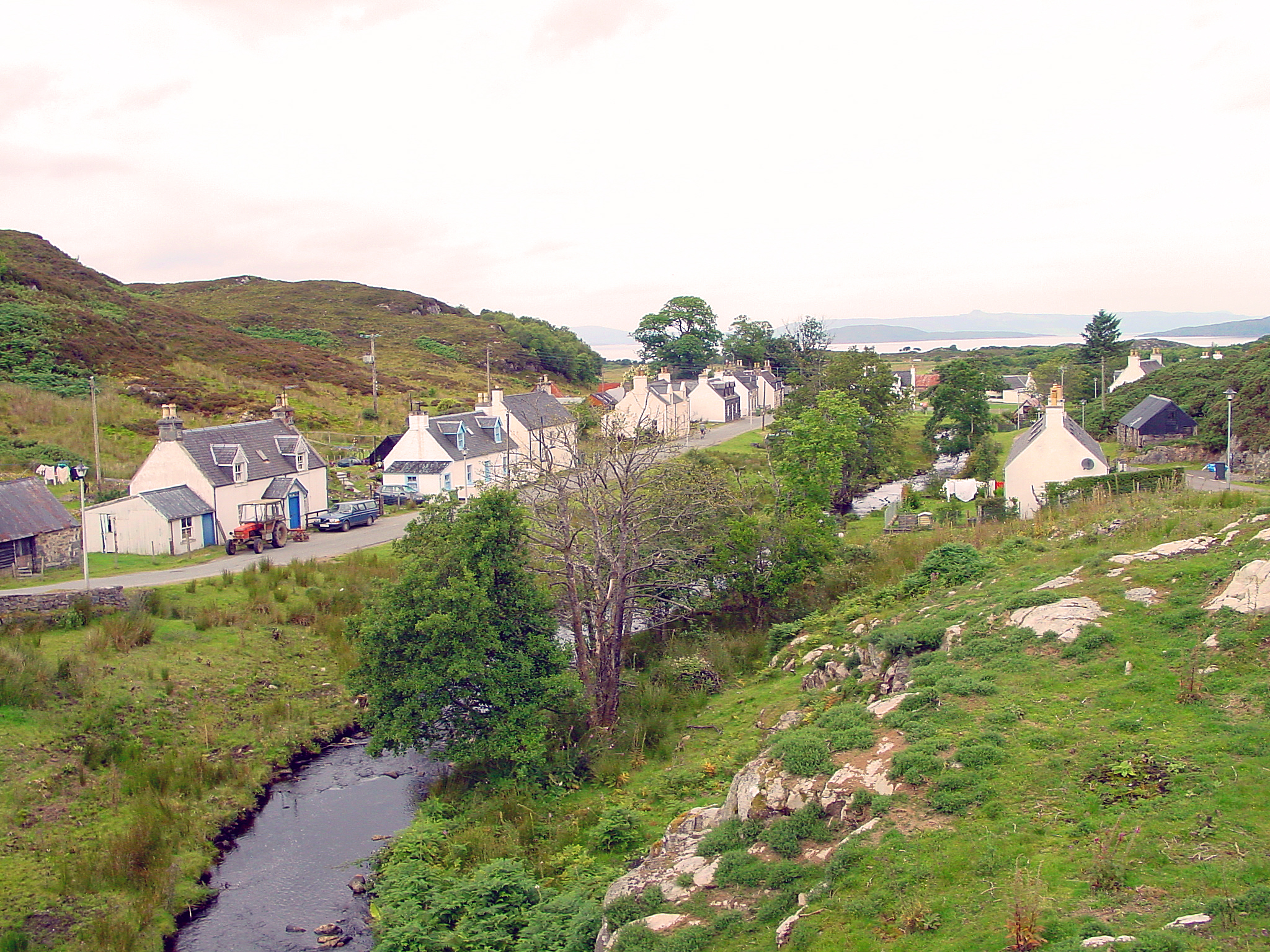
Duirinish, Lochalsh
Duirinish (Scottish Gaelic: Diùirinis) is a hamlet in Lochalsh near Plockton in Ross-shire, Scottish Highlands and is in the Scottish council area of Highland...

Duirinish railway station
Duirinish railway station is a remote railway station on the Kyle of Lochalsh Line near the settlement of Duirinish in the Highlands, northern Scotland...
Nearby Amenities
Located within 500m of 57.324761,-5.6687941Have you been to Lochan na Bà Ruaidhe?
Leave your review of Lochan na Bà Ruaidhe below (or comments, questions and feedback).