Knowsley
Settlement in Yorkshire
England
Knowsley
Knowsley is a small village located in the county of Yorkshire, England. Situated approximately 10 miles east of Leeds, it falls within the metropolitan borough of Wakefield. Knowsley is a close-knit community, with a population of around 1,000 residents.
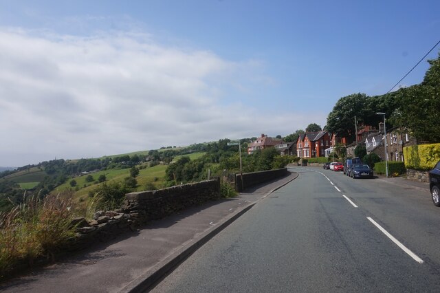
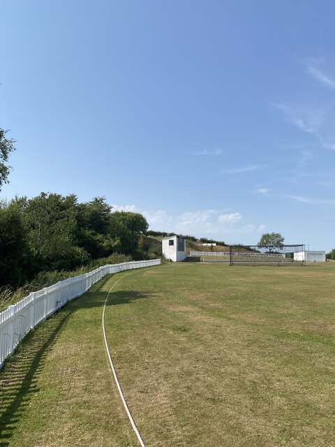
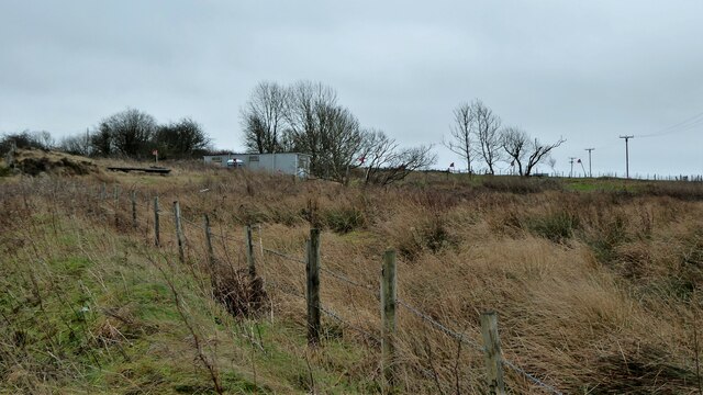
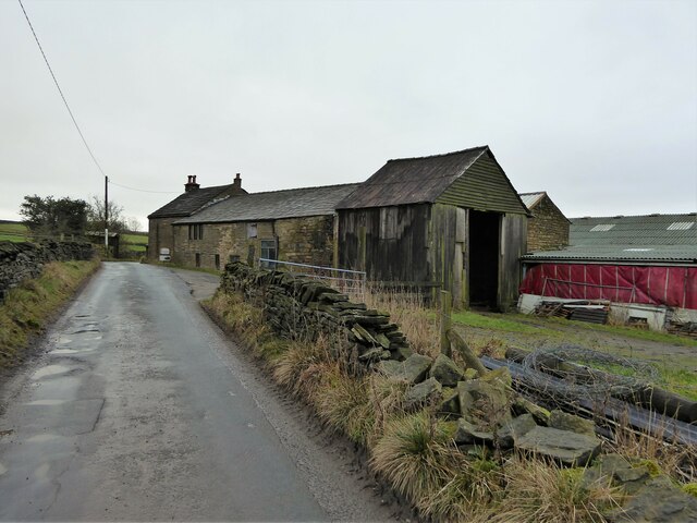
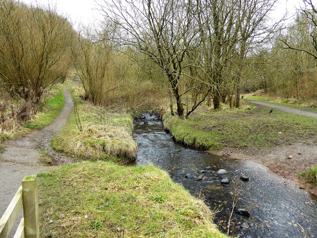
The village boasts a rich history, dating back to medieval times. It is known for its picturesque countryside, with rolling hills and beautiful landscapes surrounding the area. The village is also home to several historical landmarks, including the Grade I listed Knowsley Hall. This stately home, dating back to the 16th century, is renowned for its grand architecture and stunning gardens.
Agriculture plays a significant role in the local economy, with many residents involved in farming and rural industries. The village is surrounded by fertile farmland, where crops such as wheat, barley, and potatoes are grown. Livestock farming, particularly sheep and cattle rearing, is also prevalent in the area.
Knowsley offers a range of amenities to its residents. The village has a primary school, providing education for local children, and a village hall that serves as a community center for various events and activities. Additionally, there is a local pub, offering a meeting place for residents and visitors alike.
The village benefits from its proximity to Leeds, providing easy access to the city's amenities and employment opportunities. Many residents commute to work in Leeds, while enjoying the peaceful and idyllic lifestyle that Knowsley offers.
Overall, Knowsley is a charming village, characterized by its rich history, beautiful countryside, and strong sense of community.
If you have any feedback on the listing, please let us know in the comments section below.
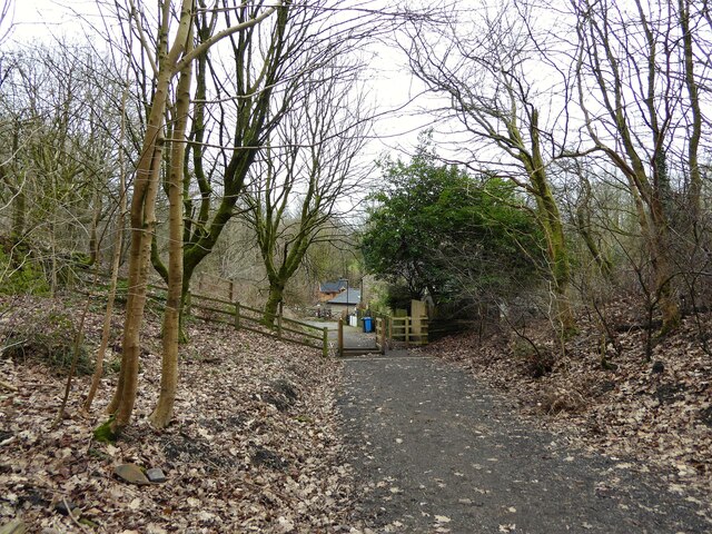
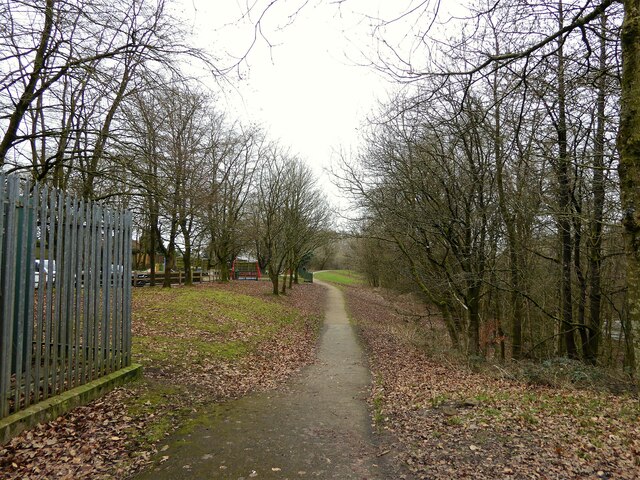
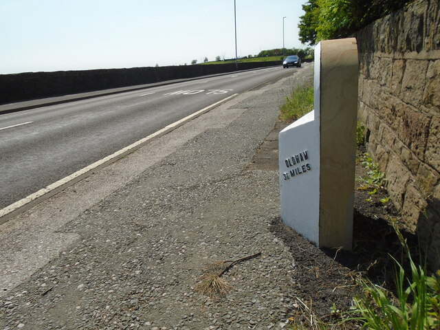
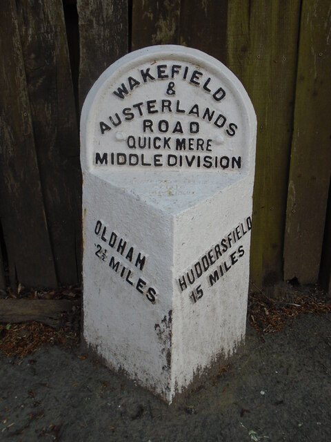
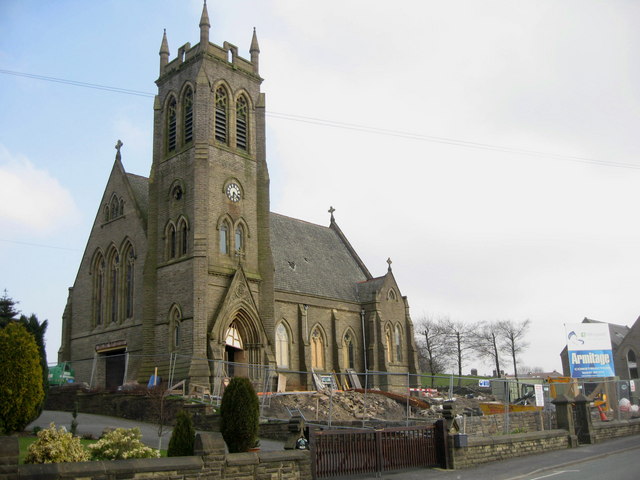
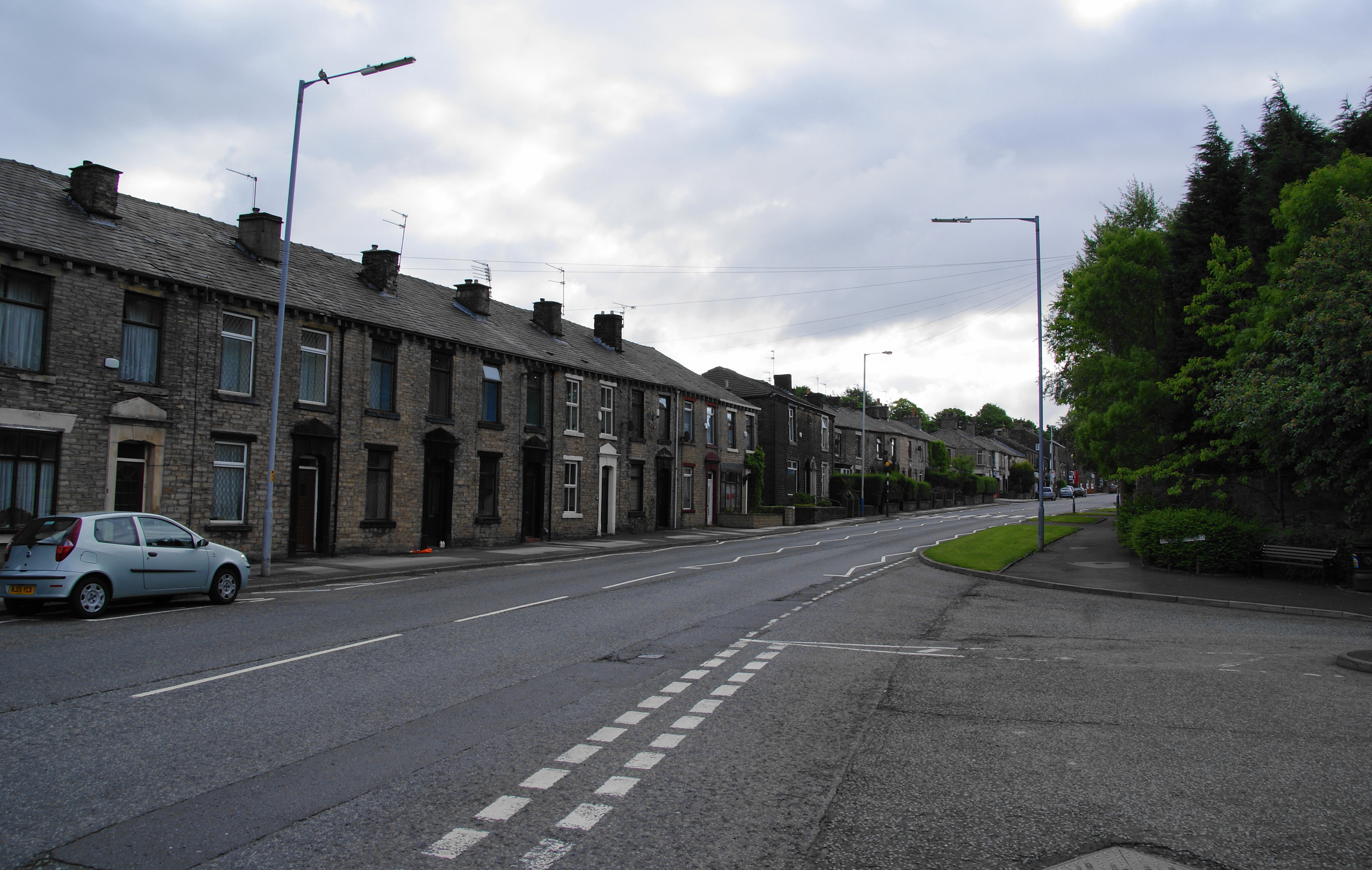
Knowsley Images
Images are sourced within 2km of 53.546118/-2.054297 or Grid Reference SD9605. Thanks to Geograph Open Source API. All images are credited.


Knowsley is located at Grid Ref: SD9605 (Lat: 53.546118, Lng: -2.054297)
Division: West Riding
Unitary Authority: Oldham
Police Authority: Greater Manchester
What 3 Words
///leaned.jazzy.enjoy. Near Shaw, Manchester
Nearby Locations
Related Wikis

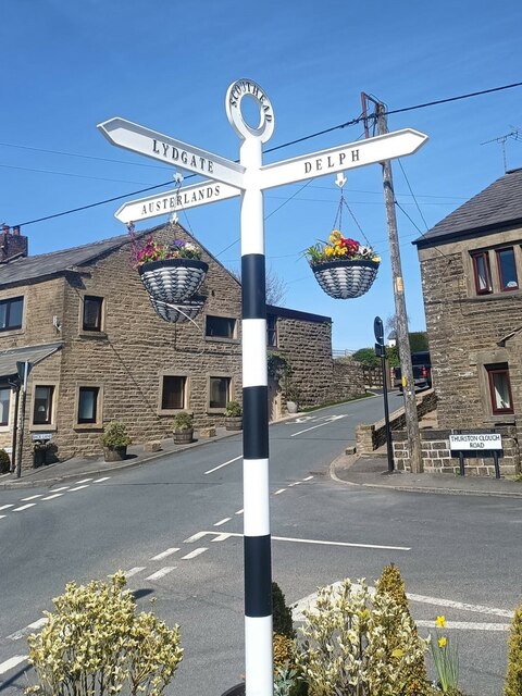
Austerlands
Austerlands is a suburban area of Saddleworth, a civil parish within the Metropolitan Borough of Oldham, in Greater Manchester, England. It occupies a...
Scouthead
Scouthead is a village in the civil parish of Saddleworth in the Metropolitan Borough of Oldham, in Greater Manchester, England. It is traversed by the...

Lees Urban District
Lees (or Lees Urban District) was from 1894 to 1974, a local government district in the administrative county of Lancashire, England. It was created an...
Springhead Urban District
Springhead Urban District was an urban district in the West Riding of Yorkshire in England. Established in 1895, it functioned until 1937 when it was absorbed...
Crossbank
Crossbank is an area of Lees, a village in the Metropolitan Borough of Oldham, Greater Manchester, England. Historically a part of Lancashire, the name...
Springhead, Greater Manchester
Springhead is a suburban area in the civil parish of Saddleworth in the Metropolitan Borough of Oldham, in Greater Manchester, England. == Description... ==

Grotton and Springhead railway station
Grotton and Springhead railway station served the villages of Grotton and Springhead from 1856 until 1955. == History == The London and North Western Railway...
Majestic Mill, Waterhead
Majestic Mill, Waterhead is a cotton spinning mill in Waterhead, Oldham, Greater Manchester. It was built in 1903. It was taken over by the Lancashire...
Nearby Amenities
Located within 500m of 53.546118,-2.054297Have you been to Knowsley?
Leave your review of Knowsley below (or comments, questions and feedback).