Knowle Green
Settlement in Middlesex Spelthorne
England
Knowle Green

Knowle Green is a small suburban village located in the London Borough of Hillingdon, Middlesex, England. It is situated approximately 14 miles west of central London and is part of the Greater London urban area. The village is characterized by its quiet, residential atmosphere, making it an ideal place to live for those seeking a peaceful suburban lifestyle.
Knowle Green is surrounded by greenery and open spaces, providing residents with ample opportunities to enjoy outdoor activities. The nearby Colne Valley Regional Park offers beautiful nature trails, lakes, and recreational facilities, making it a popular destination for residents of Knowle Green and the surrounding areas.
The village benefits from excellent transportation links, with easy access to major roads such as the M40 and M25 motorways. Heathrow Airport is also conveniently located just a short drive away, making it an ideal location for frequent travelers.
Although primarily a residential area, Knowle Green is within close proximity to amenities and facilities. The nearby town of Uxbridge offers a wide range of shopping options, including a large shopping center and independent boutiques. There are also several schools, healthcare facilities, and sports clubs in the surrounding area, ensuring that residents have access to essential services.
Overall, Knowle Green is a peaceful and picturesque village, offering a high quality of life for its residents. Its convenient location, beautiful surroundings, and range of amenities make it a desirable place to live within the Middlesex region.
If you have any feedback on the listing, please let us know in the comments section below.
Knowle Green Images
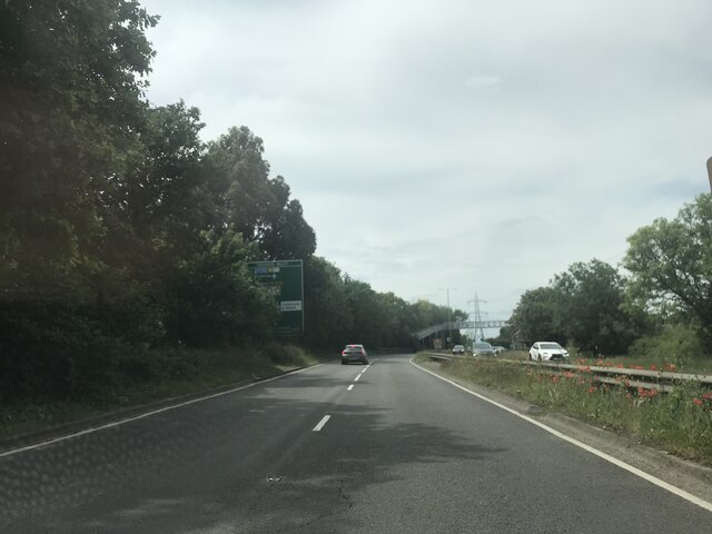
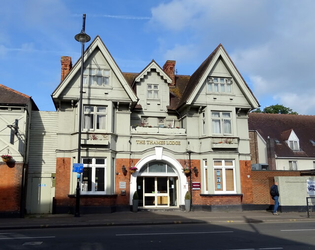
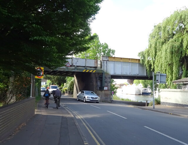
Images are sourced within 2km of 51.430241/-0.500346 or Grid Reference TQ0471. Thanks to Geograph Open Source API. All images are credited.


Knowle Green is located at Grid Ref: TQ0471 (Lat: 51.430241, Lng: -0.500346)
Administrative County: Surrey
District: Spelthorne
Police Authority: Surrey
What 3 Words
///stocks.luck.tree. Near Staines, Surrey
Nearby Locations
Related Wikis

Staines railway station
Staines railway station is on the Waterloo to Reading line and is the junction station for the diverging Windsor line, in southern England to the west...

Borough of Spelthorne
Spelthorne is a local government district with borough status in Surrey, England. Its council is based in Staines-upon-Thames; other settlements in the...
Dyslexia Action
Dyslexia Action (formerly the Dyslexia Institute) is an organisation based in Staines-upon-Thames, Surrey, England, founded in 1972. == History == The...
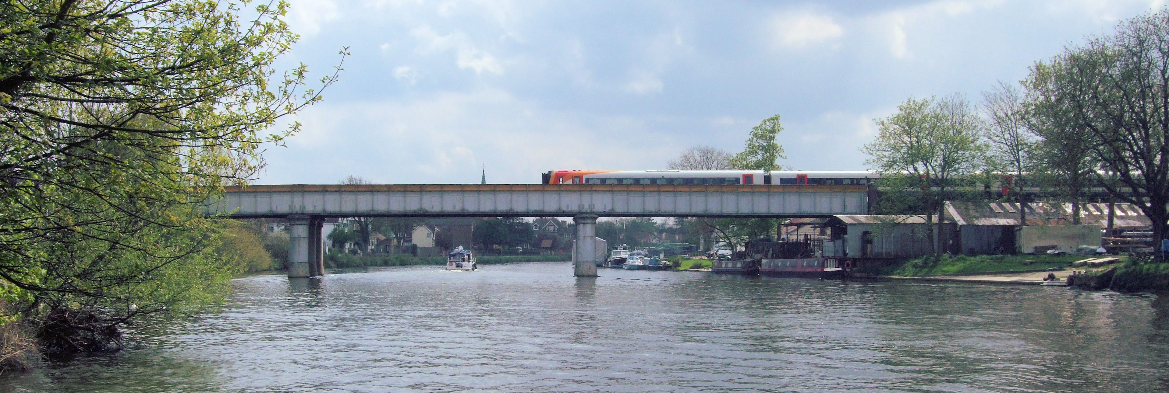
Staines Railway Bridge
Staines Railway Bridge is a railway viaduct in Staines-upon-Thames, Surrey, around 17 miles (28 kilometres) west of central London. It carries the Waterloo...
Nearby Amenities
Located within 500m of 51.430241,-0.500346Have you been to Knowle Green?
Leave your review of Knowle Green below (or comments, questions and feedback).