Gleann a' Chromain

Valley in Argyllshire

Scotland

Gleann a' Chromain

Loch Uraraidh - Islay
Loch Uraraidh - Islay Credit: Brian Turner

The requested URL returned error: 429 Too Many Requests

If you have any feedback on the listing, please let us know in the comments section below.

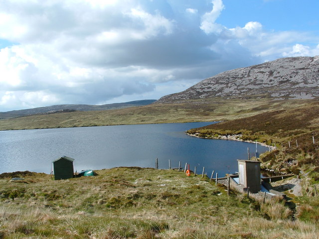
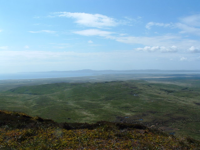
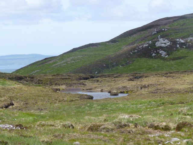
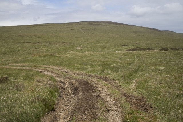
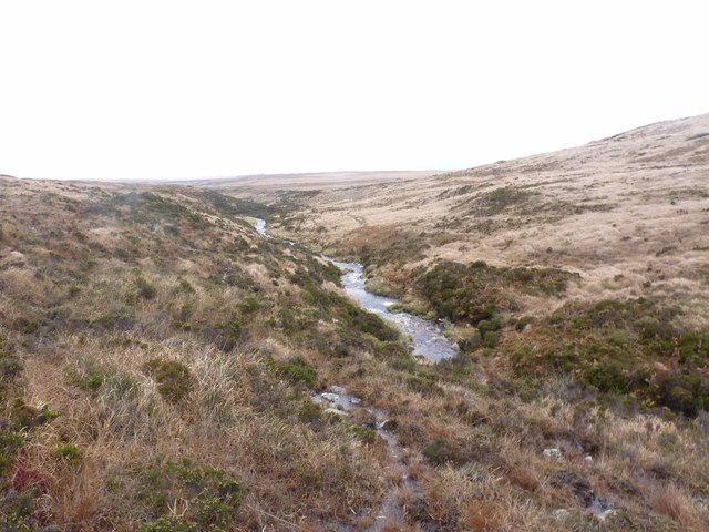
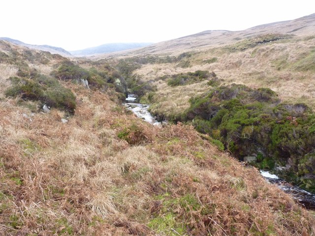
Gleann a' Chromain Images

Images are sourced within 2km of 55.701518/-6.1695922 or Grid Reference NR3853. Thanks to Geograph Open Source API. All images are credited.

Loch Uraraidh - Islay
Looking out towards Laggan Bay - Islay
Maol Dubh (Black Rounded Hill), Islay Climbing the hill's western slopes and looking north-north-west towards neighbouring Maol Mheadhoin (Rounded Hill in the Middle/Centre) which is in the centre of a range of smallish hills.
Maol Dubh (Black Rounded Hill), Islay
Climbing the hill's western slopes and looking north-north-west towards neighbouring Maol Mheadhoin (Rounded Hill in the Middle/Centre) which is in the centre of a range of smallish hills.
Maol Dubh (Black, Rounded Hill), Islay Following the dry river bed to the summit.
Maol Dubh (Black, Rounded Hill), Islay
Following the dry river bed to the summit.
Shakehole, Glenegedale Moor, Islay Shake or sink holes are formed when acidic peat water erodes the limestone beneath the peat and the land 'sinks' causing depressions to form in the landscape. This area on Islay is part of a limestone belt and there are therefore quite a few of these shake holes, which brighten up an otherwise quite featureless landscape.
Shakehole, Glenegedale Moor, Islay
Shake or sink holes are formed when acidic peat water erodes the limestone beneath the peat and the land 'sinks' causing depressions to form in the landscape. This area on Islay is part of a limestone belt and there are therefore quite a few of these shake holes, which brighten up an otherwise quite featureless landscape.
Meall Mheadhoin (Middle Mound), Glenegedale Moor, Islay The terrain was incredibly dry as Islay has had a paucity of rain this year - not good for the land, but good for us walking!  The burn, Uisge Càm Chanaidh, was barely visible.
Meall Mheadhoin (Middle Mound), Glenegedale Moor, Islay
The terrain was incredibly dry as Islay has had a paucity of rain this year - not good for the land, but good for us walking! The burn, Uisge Càm Chanaidh, was barely visible.
Shakehole, Glenegedale Moor, Islay Shake or sink holes are formed when acidic peat water erodes the limestone beneath the peat and the land 'sinks' causing depressions to form in the landscape. This area on Islay is part of a limestone belt and there are therefore quite a few of these shake holes, which brighten up an otherwise quite featureless landscape.
Shakehole, Glenegedale Moor, Islay
Shake or sink holes are formed when acidic peat water erodes the limestone beneath the peat and the land 'sinks' causing depressions to form in the landscape. This area on Islay is part of a limestone belt and there are therefore quite a few of these shake holes, which brighten up an otherwise quite featureless landscape.
Uisge Gleann a'Chromain, Islay
Waterfall, Gleann a'Chromain, Islay This is a beautiful glen, brightening up a rather featureless landscape.
Waterfall, Gleann a'Chromain, Islay
This is a beautiful glen, brightening up a rather featureless landscape.
Tiny lochan south-west of  Loch Beinn Uraraidh, Islay The area is full of little lochans. This one is not actually shown on the 1:50,000 series map.
Tiny lochan south-west of Loch Beinn Uraraidh, Islay
The area is full of little lochans. This one is not actually shown on the 1:50,000 series map.
Creag a'Chait, Islay Outcrop west of Beinn Uraraidh.
Creag a'Chait, Islay
Outcrop west of Beinn Uraraidh.
Uisge Gleann a'Chromain, Islay Flows from/into Loch Leathann an Sgorra.
Uisge Gleann a'Chromain, Islay
Flows from/into Loch Leathann an Sgorra.
Merging of paths on track to Beinn Uraraidh, Islay
Torra River, Islay Looking across peat moorland towards Beinn Uraraidh on a mild and dreary autumnal day.
Torra River, Islay
Looking across peat moorland towards Beinn Uraraidh on a mild and dreary autumnal day.
Allt Gleann Creag a' Chait, Islay A tributary of the Torra River. Looking westwards downstream.
Allt Gleann Creag a' Chait, Islay
A tributary of the Torra River. Looking westwards downstream.
Allt Gleann Creag a' Chait, Islay A tributary of the Torra River. Looking eastwards upstream along Gleann Creag a' Chait.
Allt Gleann Creag a' Chait, Islay
A tributary of the Torra River. Looking eastwards upstream along Gleann Creag a' Chait.
Show me another place!

Gleann a' Chromain is located at Grid Ref: NR3853 (Lat: 55.701518, Lng: -6.1695922)

Unitary Authority: Argyll and Bute

Police Authority: Argyll and West Dunbartonshire

What 3 Words

///wound.colonies.accompany. Near Port Ellen, Argyll & Bute

Related Wikis

Leorin Loch

Leorin Loch is of the impounding variety, located 2.5 kilometres north of Port Ellen, and is one of a group of three lochs supplying water to the island...
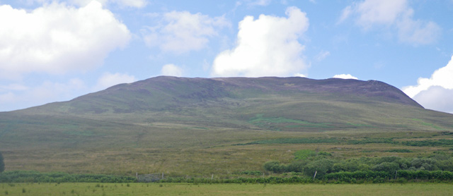
Beinn Bheigeir

Beinn Bheigeir (occasionally anglicised as "Ben Vicar") is a hill on the island of Islay in Scotland, UK. At 491 m, it is the highest of the seven 'Marilyn...

Eilean na Muice Duibhe

Eilean na Muice Duibhe, also known as Duich Moss, is an area of low-level blanket mire on the island of Islay, off the west coast of Scotland. Located...

Islay Airport

Islay Airport (IATA: ILY, ICAO: EGPI) (also known as Glenegedale Airport) (Scottish Gaelic: Port-adhair Ìle) is located 4.5 nautical miles (8.3 kilometres...

Have you been to Gleann a' Chromain?

Leave your review of Gleann a' Chromain below (or comments, questions and feedback).