Glac na Rèidhe

Valley in Argyllshire

Scotland

Glac na Rèidhe

Eilean Chormaic, Port Uisken
Eilean Chormaic, Port Uisken Credit: Steven Brown

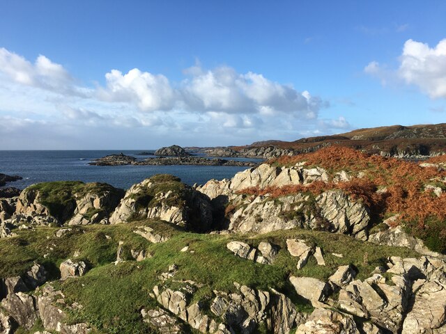
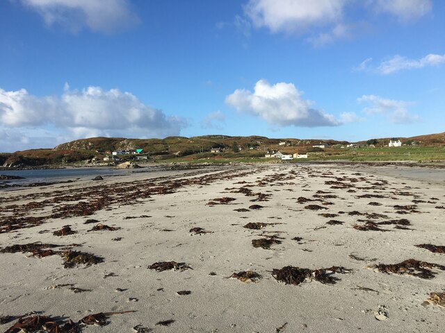
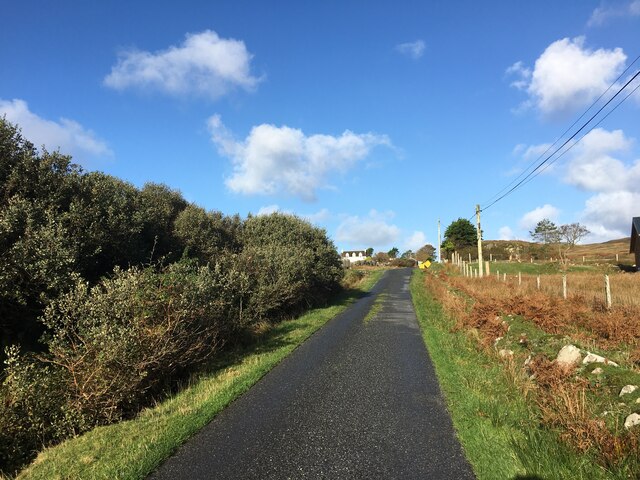
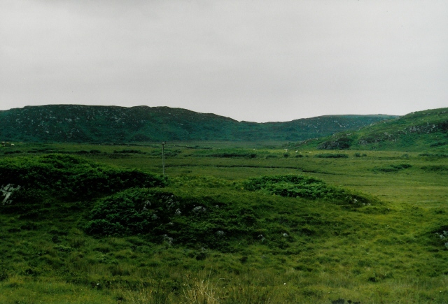
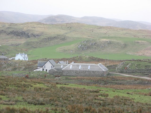
Glac na Rèidhe, located in Argyllshire, Scotland, is a stunning valley known for its rugged beauty and remote location. The valley is surrounded by towering mountains and lush green hills, making it a popular destination for hikers and nature enthusiasts.

Glac na Rèidhe is home to a variety of wildlife, including deer, eagles, and other native species. The valley is also known for its pristine streams and rivers, which offer excellent fishing opportunities for anglers.

The area is steeped in history, with ancient ruins and burial sites scattered throughout the valley. Visitors can explore these archaeological sites and learn about the rich cultural heritage of the region.

The valley is a peaceful and serene retreat from the hustle and bustle of modern life, offering visitors a chance to connect with nature and recharge their spirits. Whether you're looking for a challenging hike, a quiet spot to fish, or simply a place to relax and unwind, Glac na Rèidhe has something to offer everyone.

If you have any feedback on the listing, please let us know in the comments section below.

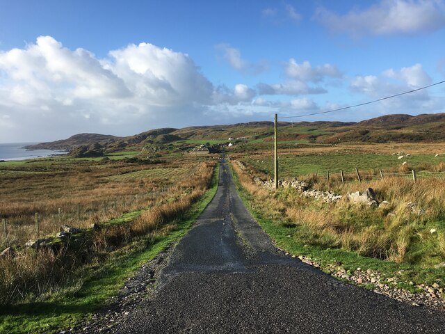
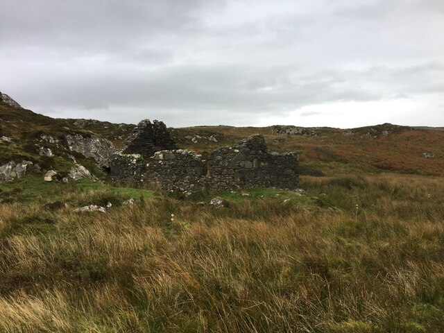
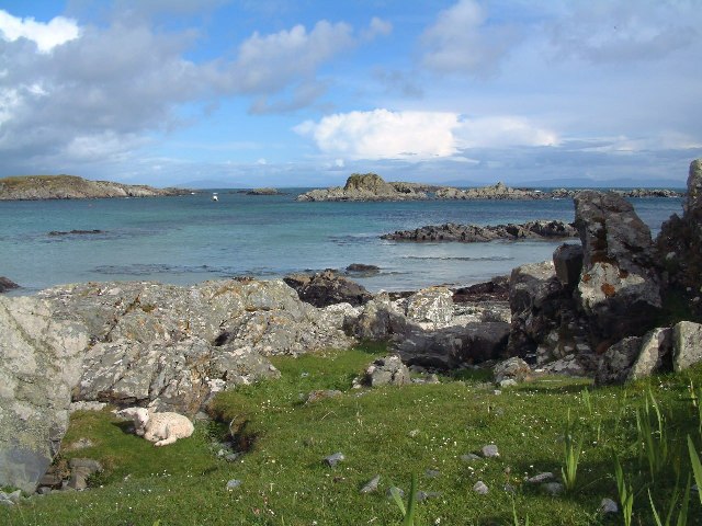
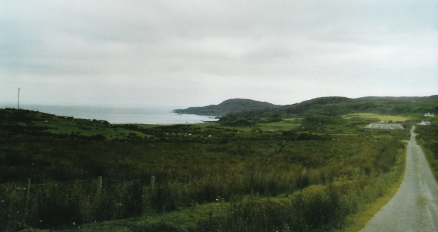
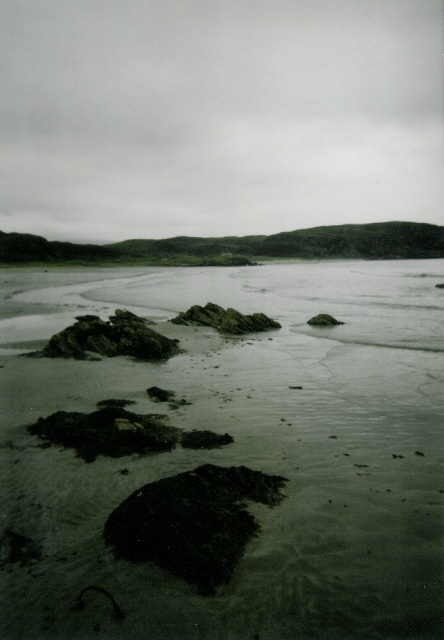
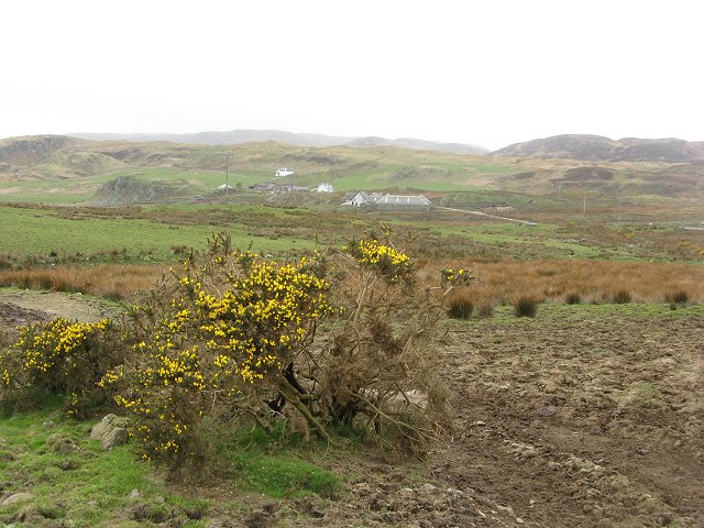
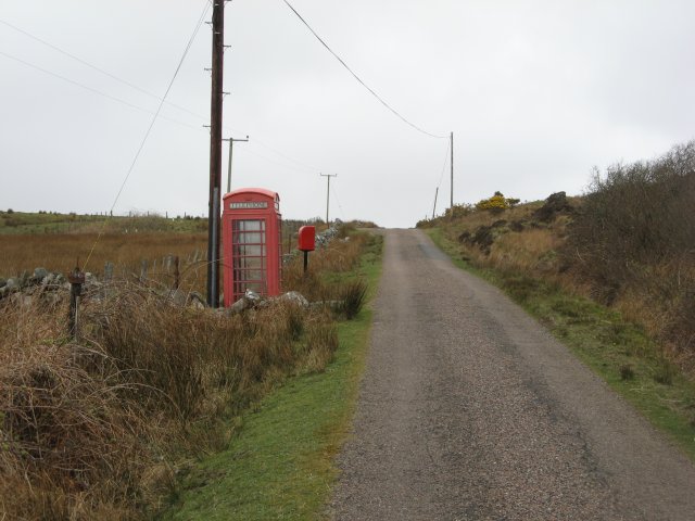
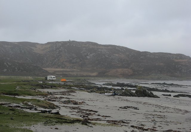
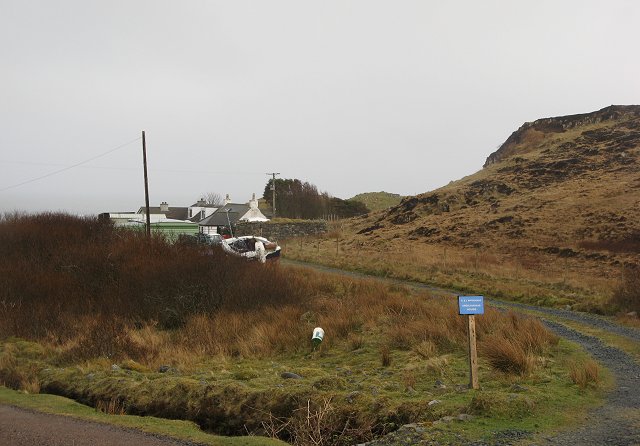
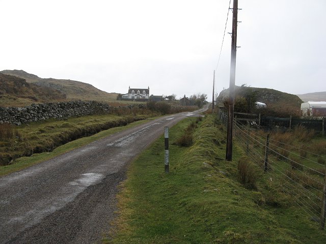
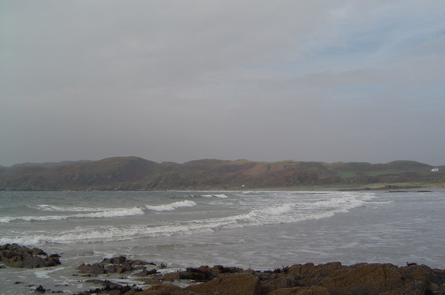
Glac na Rèidhe Images

Images are sourced within 2km of 56.29165/-6.2347308 or Grid Reference NM3819. Thanks to Geograph Open Source API. All images are credited.

Eilean Chormaic, Port Uisken
Beach at Uisken
Beach at Uisken
Near the road end at Uisken
Phone box and postbox near Uisken
Road to Ardachy
Road to Ardachy
Ruin beside the road to Uisken
Port Uisken, Mull Coastline at Uisken on the south side of the Ross of Mull
Port Uisken, Mull
Coastline at Uisken on the south side of the Ross of Mull
Road to Ardalanish A dull day for going to one of the finest beaches in Mull...  The houses down the road are the small village of Ardalanish, the beach is in the cove on the left, the headland beyond is Rubh' Ardalanish.
Road to Ardalanish
A dull day for going to one of the finest beaches in Mull... The houses down the road are the small village of Ardalanish, the beach is in the cove on the left, the headland beyond is Rubh' Ardalanish.
Grazing land near Uisken Poor quality grazing is standard on Mull - no different here on the south coast. Looking northeast (inland) from the road to Uisken.
Grazing land near Uisken
Poor quality grazing is standard on Mull - no different here on the south coast. Looking northeast (inland) from the road to Uisken.
Ardalanish Bay A beautiful beach, even on a grey day!  Looking east towards Aird Dubh
Ardalanish Bay
A beautiful beach, even on a grey day! Looking east towards Aird Dubh
Hebridean woolcraft Isle of Mull weavers are based on a farm at Ardalanish. Well worth a visit (though our Hebridean teddy - made from local brown Hebridean wool - still smells a bit of machine oil !)
Hebridean woolcraft
Isle of Mull weavers are based on a farm at Ardalanish. Well worth a visit (though our Hebridean teddy - made from local brown Hebridean wool - still smells a bit of machine oil !)
Ardachy Farm with damp grazing.
Ardachy
Farm with damp grazing.
Ardachy Cattle grazing on wetland near Ardachy.
Ardachy
Cattle grazing on wetland near Ardachy.
Phone box, Uisken
Phone box, Uisken
Uisken Simple campsite on the beach.
Uisken
Simple campsite on the beach.
Ardchiavaig Coastal property amongst the usual wet grassland.
Ardchiavaig
Coastal property amongst the usual wet grassland.
A dreich day in Uisken Fine drizzle during an otherwise warm April.
A dreich day in Uisken
Fine drizzle during an otherwise warm April.
Ardalanish Bay
Ardalanish Bay
Show me another place!

Glac na Rèidhe is located at Grid Ref: NM3819 (Lat: 56.29165, Lng: -6.2347308)

Unitary Authority: Argyll and Bute

Police Authority: Argyll and West Dunbartonshire

What 3 Words

///munched.alienated.scan. Near Fionnphort, Argyll & Bute

Related Wikis

Uisken

Uisken (Scottish Gaelic: Uisgean, meaning "water-bay") is a settlement on a sandy bay on the Ross of Mull in the south of the Isle of Mull, on the west...

Ardalanish

Ardalanish (Scottish Gaelic: Àird Dealanais) is a village on the Isle of Mull in Argyll and Bute, Scotland. It is now an organic farm and weaving mill...

Knocknafenaig

Knocknafenaig (Scottish Gaelic: Cnoc na Fennaig) is a ruined township on the Isle of Mull, Scotland. Located in the south-western portion of the island...

Bunessan

Bunessan (Scottish Gaelic: Bun Easain) is a small village on the Ross of Mull in the south-west of the Isle of Mull, off the west coast of Scotland. The...

Nearby Amenities

Located within 500m of 56.29165,-6.2347308
Telephone
Booth: K6
Covered: booth
Lat/Long: 56.2944152/-6.2330194
Post Box
Post Box Type: lamp
Ref: PA67 170
Royal Cypher: scottish_crown
Lat/Long: 56.294442/-6.2331482
Passing Place
Lat/Long: 56.2938516/-6.2305843
Passing Place
Lat/Long: 56.29461/-6.233749
Ardchiavaig
Place: hamlet
Lat/Long: 56.2903833/-6.2290573
Passing Place
Lat/Long: 56.2951431/-6.2359561
Passing Place
Lat/Long: 56.2956928/-6.2370561
Fixme: Positioning is approximate
Historic: Uamh_Mhor,_standing_stones
Wikidata: Q56661421
Lat/Long: 56.2894257/-6.2385832
Power: pole
Lat/Long: 56.2953554/-6.2388128
Power: pole
Lat/Long: 56.2951809/-6.2375978
Power: pole
Lat/Long: 56.2949843/-6.2362895
Power: pole
Lat/Long: 56.2947787/-6.234864
Power: pole
Lat/Long: 56.2945274/-6.2338009
Power: pole
Lat/Long: 56.2941917/-6.232386
Power: pole
Lat/Long: 56.293831/-6.2309312
Power: pole
Lat/Long: 56.293553/-6.2298015
Power: pole
Lat/Long: 56.2933548/-6.2289888
Power: pole
Lat/Long: 56.2929689/-6.2279817
Power: pole
Lat/Long: 56.2925874/-6.2269851
The data included in this document is from www.openstreetmap.org. The data is made available under ODbL.

Have you been to Glac na Rèidhe?

Leave your review of Glac na Rèidhe below (or comments, questions and feedback).