Gleann Stulabhaig

Valley in Inverness-shire

Scotland

Gleann Stulabhaig

Sheisinis A rocky beach and tidal island at the mouth of Acairseid Mhòr, a sea loch on the east side of Eriskay.
Sheisinis Credit: Richard Webb

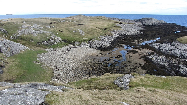
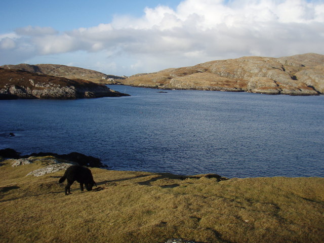
Gleann Stulabhaig, located in Inverness-shire, Scotland, is a picturesque valley encompassed by awe-inspiring natural beauty. Nestled amidst the Scottish Highlands, this serene valley offers a tranquil escape for nature enthusiasts and those seeking solitude in a breathtaking setting.

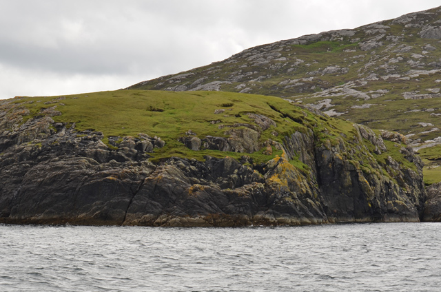
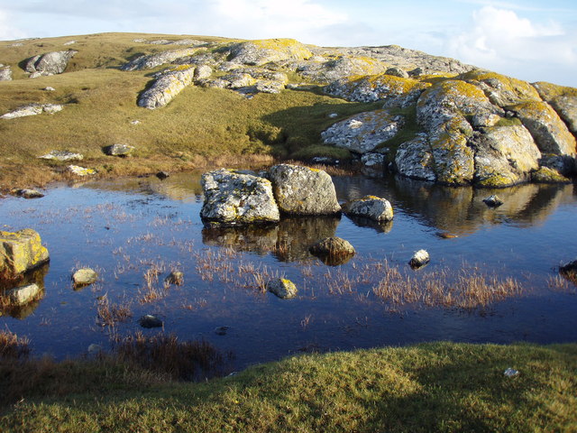
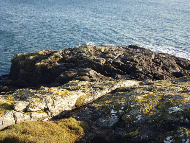
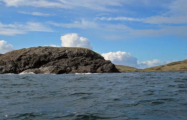
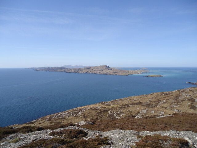
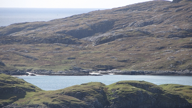
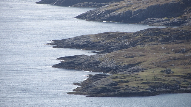
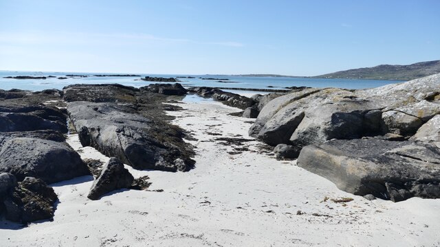
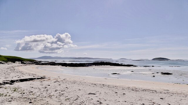
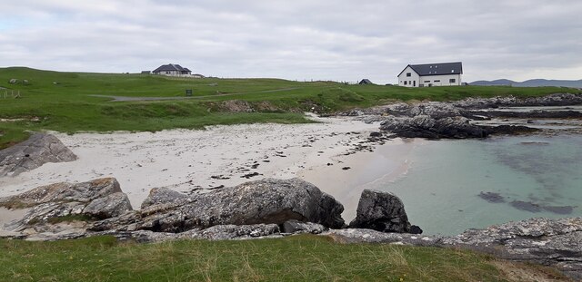
Surrounded by towering mountains and rolling hills, Gleann Stulabhaig boasts a diverse landscape that ranges from lush green meadows to rugged terrain. The valley is traversed by a meandering river, which adds to its charm and provides a delightful backdrop for leisurely walks or picnics by the water's edge.

The flora and fauna in Gleann Stulabhaig are abundant and diverse, offering a haven for wildlife. Visitors may spot red deer, golden eagles, and otters, among other species, while exploring the area. The valley is also home to a multitude of wildflowers, which carpet the meadows in vibrant hues during the summer months.

For those interested in outdoor activities, Gleann Stulabhaig offers ample opportunities for hiking, cycling, and fishing. Several well-marked trails cater to both novice and experienced hikers, leading them through stunning vistas and offering glimpses of hidden waterfalls and serene lochs.

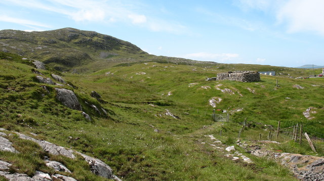
In addition to its natural beauty, Gleann Stulabhaig is steeped in history. Ruins of ancient settlements and standing stones can be found throughout the valley, providing a glimpse into the area's rich past.

Overall, Gleann Stulabhaig is a captivating destination that combines breathtaking scenery, abundant wildlife, and a sense of tranquility. Whether it's for a leisurely stroll, an adventurous hike, or simply to immerse oneself in nature, this valley in Inverness-shire offers a truly memorable experience.

If you have any feedback on the listing, please let us know in the comments section below.

Gleann Stulabhaig Images

Images are sourced within 2km of 57.074169/-7.2838603 or Grid Reference NF7910. Thanks to Geograph Open Source API. All images are credited.

Sheisinis A rocky beach and tidal island at the mouth of Acairseid Mhòr, a sea loch on the east side of Eriskay.
Sheisinis
A rocky beach and tidal island at the mouth of Acairseid Mhòr, a sea loch on the east side of Eriskay.
Rubha Liath A headland to the south of the entrance to Big Harbour (Acairseid Mhòr) on Eriskay.
Rubha Liath
A headland to the south of the entrance to Big Harbour (Acairseid Mhòr) on Eriskay.
Small pool on Rubha Liath The peninsula was characterised by short grass with rocky outcrops ending in a rocky point.
Small pool on Rubha Liath
The peninsula was characterised by short grass with rocky outcrops ending in a rocky point.
Rubha Liath The rocky end of the point.
Rubha Liath
The rocky end of the point.
Acairseid Mhòr Taken from Rubha Liath this loch cuts deep into Eriskay.
Acairseid Mhòr
Taken from Rubha Liath this loch cuts deep into Eriskay.
Rubha Liath and looking into Acairseid Mhòr
Eriskay, seen from Rubha Mealabhaig on South Uist Eriskay is a fairly small island, perhaps best known as the location of "Whisky Galore". Its summit is Beinn Sciathan, 185m in <a href="https://www.geograph.org.uk/gridref/NF7911">NF7911</a>. The causeway from South Uist can be seen on the right, and beyond Eriskay is the island of Barra.
Eriskay, seen from Rubha Mealabhaig on South Uist
Eriskay is a fairly small island, perhaps best known as the location of "Whisky Galore". Its summit is Beinn Sciathan, 185m in NF7911. The causeway from South Uist can be seen on the right, and beyond Eriskay is the island of Barra.
Ròisinis Caolas Eirisgeigh, the Sound of Eriskay with a view over Calbhaigh (the island where the whisky exporting SS Politician ended up) from South Uist.  Ròisinis has several ruins and a path in from the now inhabited part of Eriskay.
Ròisinis
Caolas Eirisgeigh, the Sound of Eriskay with a view over Calbhaigh (the island where the whisky exporting SS Politician ended up) from South Uist. Ròisinis has several ruins and a path in from the now inhabited part of Eriskay.
Ròisinis The northeastern corner of Eriskay.
Ròisinis
The northeastern corner of Eriskay.
Beinn Sciathan on Eriskay/Eiriosgaigh View from South Uist.
Beinn Sciathan on Eriskay/Eiriosgaigh
View from South Uist.
Tide turning on an Eriskay beach The tide is just lapping at the outer rocks on the beach.
Tide turning on an Eriskay beach
The tide is just lapping at the outer rocks on the beach.
Tide creeping up on an Eriskay shoreline The same rocky gully as in <a href="https://www.geograph.org.uk/photo/7246878">NF7811 : Tide turning on an Eriskay beach</a> two hours later, after an outdoor meal at the local restaurant. Just enough breeze to keep the midges away.
Tide creeping up on an Eriskay shoreline
The same rocky gully as in NF7811 : Tide turning on an Eriskay beach two hours later, after an outdoor meal at the local restaurant. Just enough breeze to keep the midges away.
Rubha Chlaidh on Eriskay Translating as 'the headland of the graveyard' it's easy to see why as the graveyard is on the top of the grassy rise.  This beach is the one Peter May, in his book "The Lewis Man", calls Charlie's Beach. See also  <a href="https://www.geograph.org.uk/photo/4543351">NF7811 : Rubha Chlaidh</a> for another view of the beach.
Rubha Chlaidh on Eriskay
Translating as 'the headland of the graveyard' it's easy to see why as the graveyard is on the top of the grassy rise. This beach is the one Peter May, in his book "The Lewis Man", calls Charlie's Beach. See also NF7811 : Rubha Chlaidh for another view of the beach.
Beach at Rubha Chlaidh
Slipway for Barra ferry
Rosinish, Eriskay A rather soggy path leading through the old settlement at Rosinish.
Rosinish, Eriskay
A rather soggy path leading through the old settlement at Rosinish.
Ruined croft at Rosinish. Maybe this was once a traditional 'black house', though the windows look a trifle large. Note that the photographer's rather dated OS map shows the Anglicised 'Rosinish', whereas the up to date map extract on the website shows the Gaelic form [Roisinis].
Ruined croft at Rosinish.
Maybe this was once a traditional 'black house', though the windows look a trifle large. Note that the photographer's rather dated OS map shows the Anglicised 'Rosinish', whereas the up to date map extract on the website shows the Gaelic form [Roisinis].
Beinn Sciathan from Rubha Basadearn
Show me another place!

Gleann Stulabhaig is located at Grid Ref: NF7910 (Lat: 57.074169, Lng: -7.2838603)

Unitary Authority: Na h-Eileanan an Iar

Police Authority: Highlands and Islands

What 3 Words

///gosh.perfumed.rejoin. Near Lochboisdale, Na h-Eileanan Siar

Related Wikis

Eriskay

Eriskay (Scottish Gaelic: Èirisgeigh), from the Old Norse for "Eric's Isle", is an island and community council area of the Outer Hebrides in northern...

Beinn Sciathan

Ben Scrien, is the highest point on the Outer Hebridean island of Eriskay. Described as an apparently "uninspiring lump" (Michael Fitzpatrick, 2012) it...

Ceann a' Ghàraidh

Ceann a' Ghàraidh is the location of the ferry terminal on the south-western side of the island of Eriskay in the Outer Hebrides of Scotland. It provides...

St Michael's Church, Eriskay

St Michael's Church (also known as St Michael's of the Sea) is a Category C listed building in Eriskay, South Uist, Scotland. Of Roman Catholic denomination...

Nearby Amenities

Located within 500m of 57.074169,-7.2838603
Carraig Chisholm
Place: locality
Lat/Long: 57.0748241/-7.2757891
The data included in this document is from www.openstreetmap.org. The data is made available under ODbL.

Have you been to Gleann Stulabhaig?

Leave your review of Gleann Stulabhaig below (or comments, questions and feedback).