Loch Cracabhaig
Lake, Pool, Pond, Freshwater Marsh in Inverness-shire
Scotland
Loch Cracabhaig
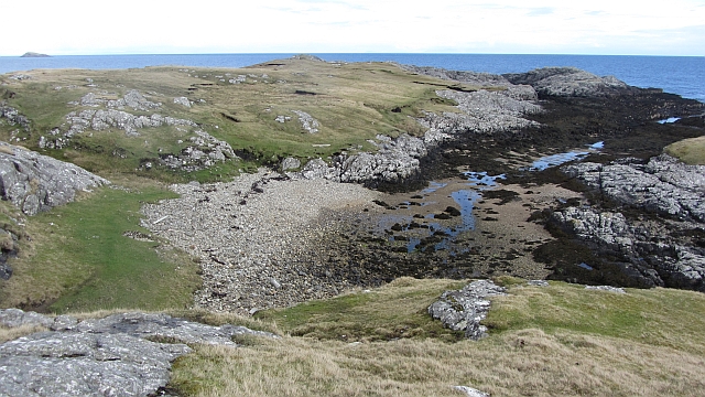
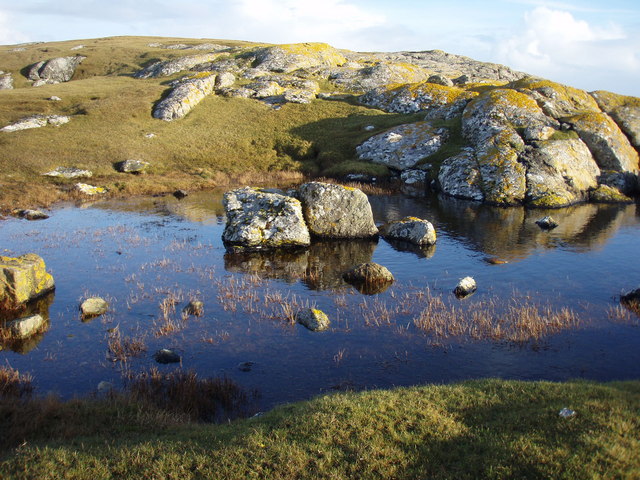
Loch Cracabhaig is a picturesque freshwater loch located in Inverness-shire, Scotland. Nestled amidst the stunning Highland scenery, this body of water is known for its tranquility and natural beauty.
With a surface area of approximately 30 hectares, Loch Cracabhaig is relatively small in size. Despite its modest dimensions, it boasts a depth of around 15 meters, making it an ideal habitat for various aquatic species. The loch is fed by several small streams that meander through the surrounding hills, ensuring a constant flow of freshwater.
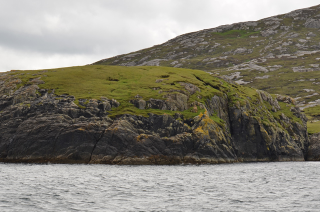
Surrounded by lush greenery and rolling hills, Loch Cracabhaig offers a serene and peaceful atmosphere. The calm waters are often dotted with lily pads and other aquatic plants, providing a haven for diverse flora and fauna. Birdwatchers will be delighted to spot a variety of waterfowl, including ducks, swans, and herons, which frequently visit the loch.
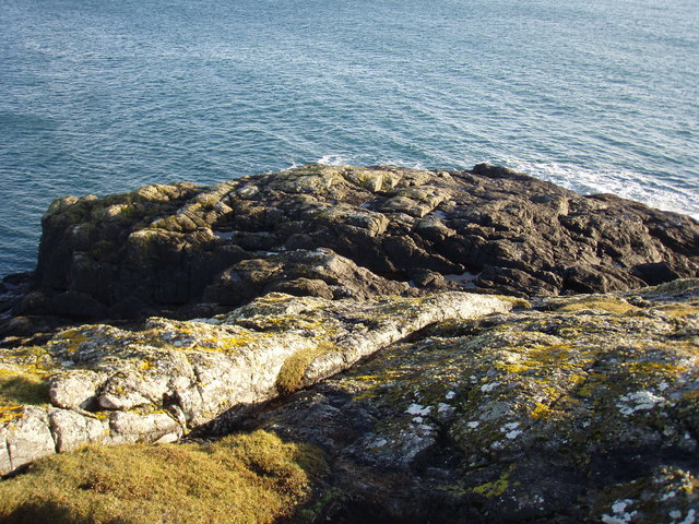
The surrounding area of Loch Cracabhaig features a diverse range of vegetation, including heather, grasses, and small shrubs. This rich ecosystem supports a variety of wildlife, and visitors may be lucky enough to spot red deer, foxes, or even otters along the loch's shores.
Given its natural beauty and peaceful surroundings, Loch Cracabhaig is a popular destination for outdoor enthusiasts. Fishing enthusiasts can enjoy angling for brown trout, which populate the loch in good numbers. Additionally, the loch's calm waters provide a perfect setting for kayaking and canoeing, allowing visitors to explore its tranquil beauty at their own pace.
Overall, Loch Cracabhaig is a hidden gem in Inverness-shire, offering a serene and picturesque setting for nature lovers and outdoor enthusiasts alike.
If you have any feedback on the listing, please let us know in the comments section below.
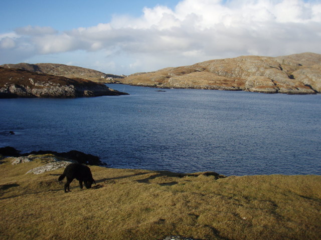
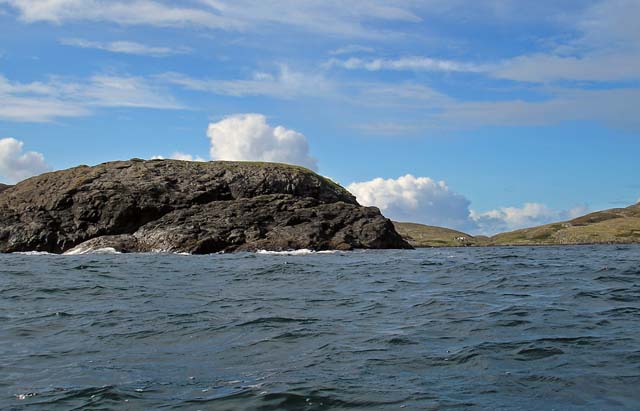
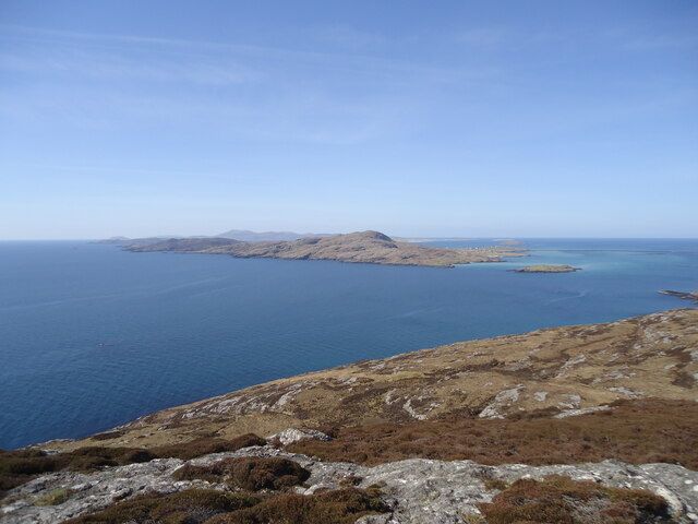
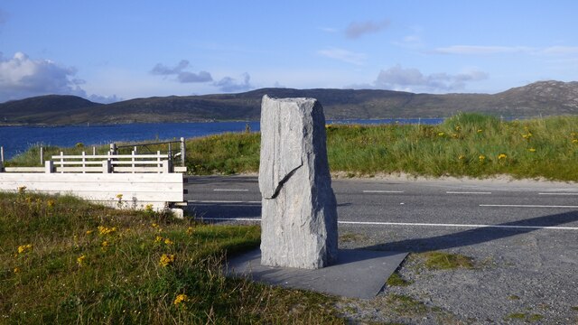
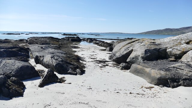
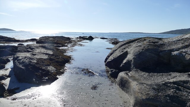
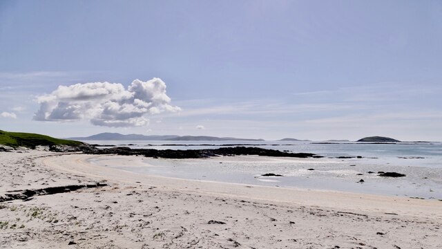
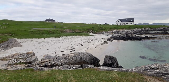
Loch Cracabhaig Images
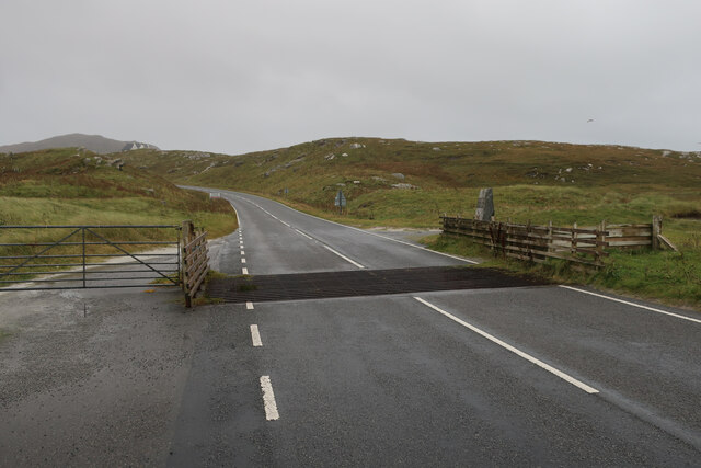
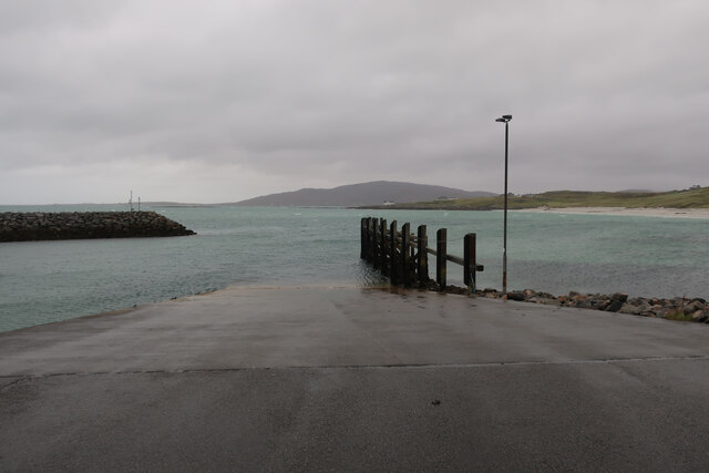
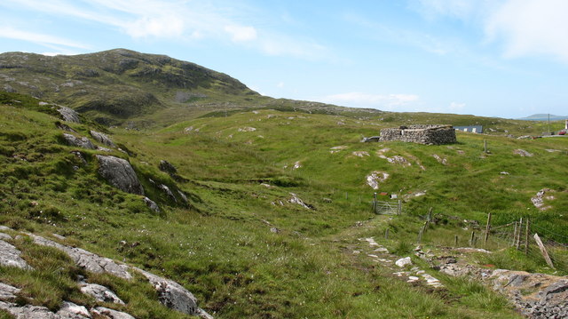
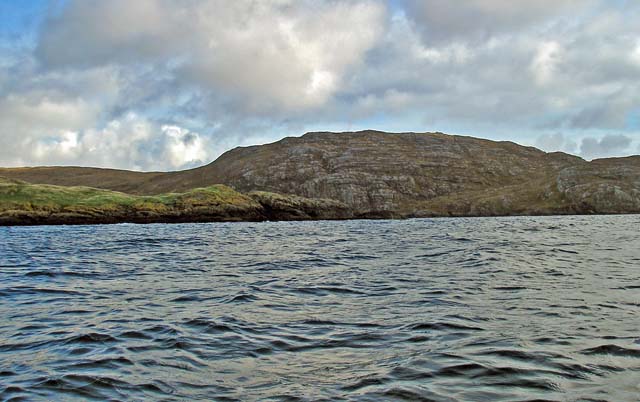
Images are sourced within 2km of 57.074893/-7.2935304 or Grid Reference NF7910. Thanks to Geograph Open Source API. All images are credited.

![Ruined croft at Rosinish. Maybe this was once a traditional &#039;black house&#039;, though the windows look a trifle large. Note that the photographer&#039;s rather dated OS map shows the Anglicised &#039;Rosinish&#039;, whereas the up to date map extract on the website shows the Gaelic form [Roisinis].](https://s0.geograph.org.uk/photos/50/45/504568_38463960.jpg)

Loch Cracabhaig is located at Grid Ref: NF7910 (Lat: 57.074893, Lng: -7.2935304)
Unitary Authority: Na h-Eileanan an Iar
Police Authority: Highlands and Islands
What 3 Words
///framework.cackling.prep. Near Lochboisdale, Na h-Eileanan Siar
Nearby Locations
Related Wikis

Beinn Sciathan
Ben Scrien, is the highest point on the Outer Hebridean island of Eriskay. Described as an apparently "uninspiring lump" (Michael Fitzpatrick, 2012) it...

Eriskay
Eriskay (Scottish Gaelic: Èirisgeigh), from the Old Norse for "Eric's Isle", is an island and community council area of the Outer Hebrides in northern...
Ceann a' Ghàraidh
Ceann a' Ghàraidh is the location of the ferry terminal on the south-western side of the island of Eriskay in the Outer Hebrides of Scotland. It provides...

St Michael's Church, Eriskay
St Michael's Church (also known as St Michael's of the Sea) is a Category C listed building in Eriskay, South Uist, Scotland. Of Roman Catholic denomination...
Calvay
Calvay (Scottish Gaelic: Calbhaigh) is a currently uninhabited island situated in the Sound of Eriskay in the Outer Hebrides, at grid reference NF810126...
SS Politician
SS Politician was a cargo ship that ran aground off the coast of the Hebridean island of Eriskay in 1941. Her cargo included 22,000 cases of scotch whisky...
Sound of Barra
The Sound of Barra is a large ocean inlet or sound situated to the north of the isle of Barra and to the south of South Uist in the Outer Hebrides in Scotland...
Lingay, Fiaray
Lingay is an uninhabited island in Scotland, one of ten islands in the Sound of Barra, a Site of Community Importance for conservation in the Western Isles...
Nearby Amenities
Located within 500m of 57.074893,-7.2935304Have you been to Loch Cracabhaig?
Leave your review of Loch Cracabhaig below (or comments, questions and feedback).