Gleann Mòr

Valley in Inverness-shire

Scotland

Gleann Mòr

Cleite against the backdrop of Sanndraigh
Cleite against the backdrop of Sanndraigh Credit: Alan Reid

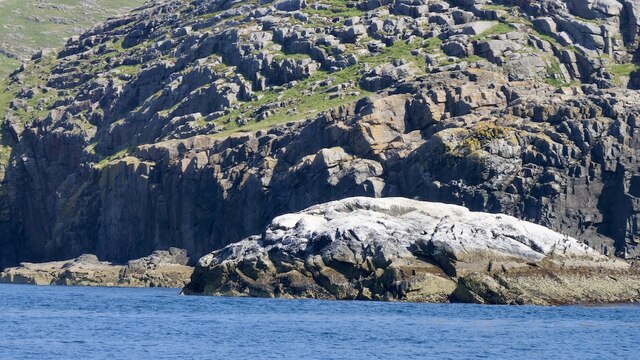
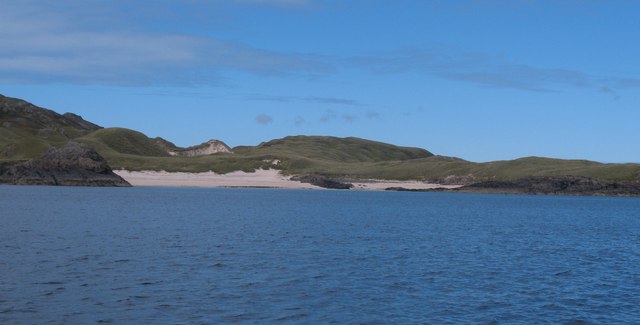
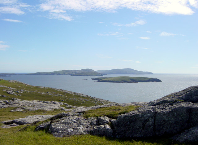
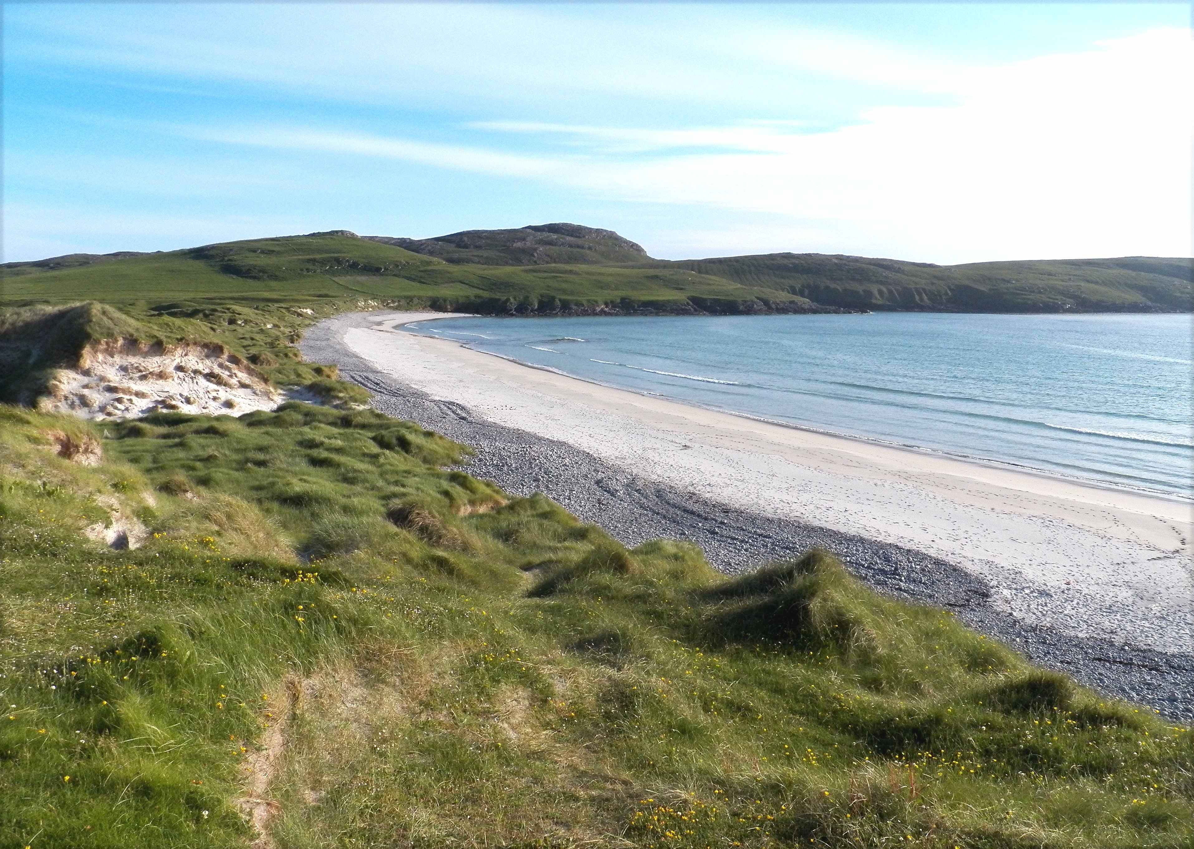
Gleann Mòr, located in Inverness-shire, Scotland, is a picturesque valley nestled in the Scottish Highlands. The valley is characterized by its stunning natural beauty, with lush greenery, rolling hills, and rugged mountains surrounding the area. The valley is also home to the River Moriston, which flows through the landscape, adding to the area's charm and tranquility.

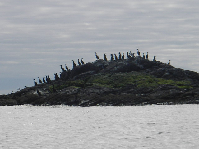
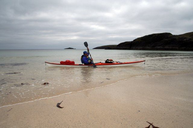
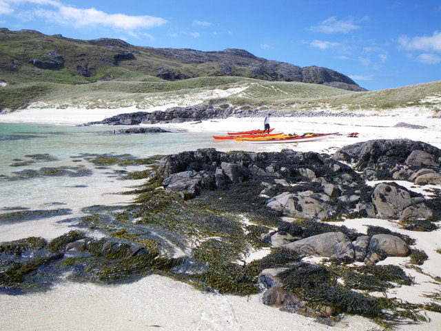
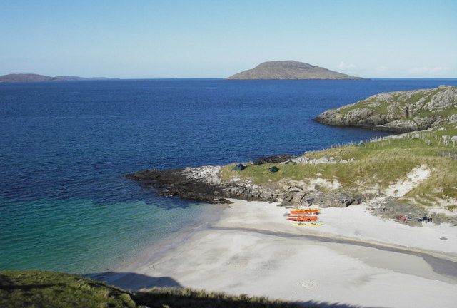
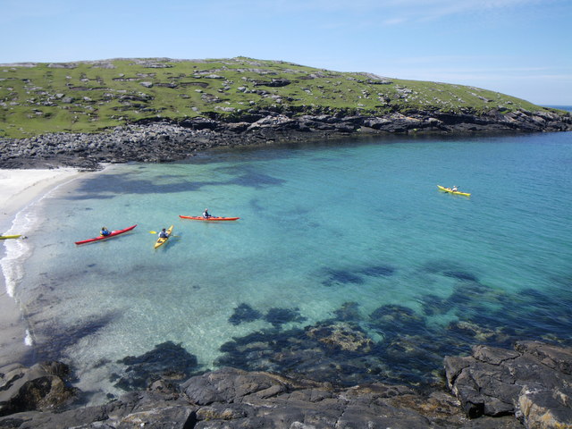
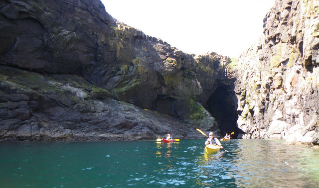
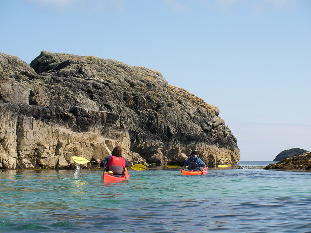
Gleann Mòr is a popular destination for outdoor enthusiasts, offering a variety of activities such as hiking, camping, and fishing. The valley is also known for its abundant wildlife, including red deer, golden eagles, and otters, making it a paradise for nature lovers and wildlife enthusiasts.

The small villages scattered throughout Gleann Mòr provide a glimpse into traditional Scottish life, with quaint cottages, charming pubs, and friendly locals. Visitors to the valley can explore historic sites such as the ruins of Urquhart Castle and the picturesque Eilean Donan Castle, adding a touch of history to their visit.

Overall, Gleann Mòr is a hidden gem in the Scottish Highlands, offering visitors a peaceful retreat surrounded by natural beauty and rich history.

If you have any feedback on the listing, please let us know in the comments section below.

Gleann Mòr Images

Images are sourced within 2km of 56.88784/-7.5082533 or Grid Reference NL6490. Thanks to Geograph Open Source API. All images are credited.
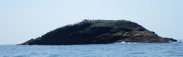
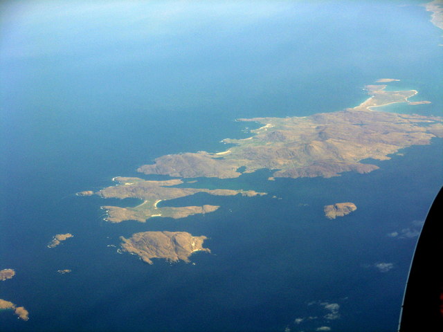
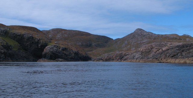
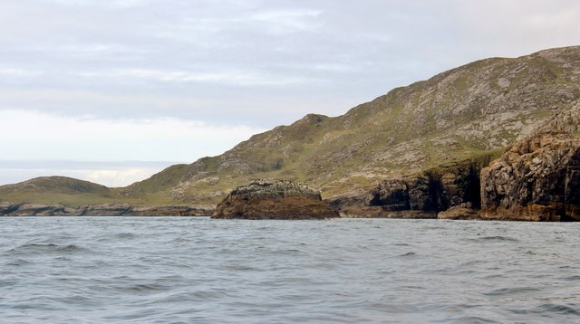
Cleite against the backdrop of Sanndraigh
Shags on Cleite Shags cover this small rocky island June 09
Shags on Cleite
Shags cover this small rocky island June 09
Shags on Cleite off Sandray south coast The shags seem always to be on their favourite perch
Shags on Cleite off Sandray south coast
The shags seem always to be on their favourite perch
Cleite A shag drying out rock off Sandray
Cleite
A shag drying out rock off Sandray
Buckshorn Plantain (Plantago coronopus) There were several plants of this, half-buried in sand that must have blown in quite recently.
Buckshorn Plantain (Plantago coronopus)
There were several plants of this, half-buried in sand that must have blown in quite recently.
Dun Sandray The ruin of Dùn Sandray stands atop a knoll, 400 feet above the sea, overlooking Loch na Cuilce (loch of reeds). It is now little more than a pile of stones, as rabbit catchers pushed down much of its outer defensive walls to build shelters.
Dun Sandray
The ruin of Dùn Sandray stands atop a knoll, 400 feet above the sea, overlooking Loch na Cuilce (loch of reeds). It is now little more than a pile of stones, as rabbit catchers pushed down much of its outer defensive walls to build shelters.
Sandray, Vatersay and Barra An aerial view from the south. The smaller island to the east is Maol Domhnaich.
Sandray, Vatersay and Barra
An aerial view from the south. The smaller island to the east is Maol Domhnaich.
Sandray (Sanndraigh) The island of Sandray (Sanndraigh) as seen from southern Vatersay (Bhatarsaigh).
The highest point on Sandray is Càrn Ghaltair, the almost-as-high eminence to its east being Carnach (189m, 620')
What may look like a low-lying island behind it, is in fact the Meanais peninsula of Sandray.
I have taken Càrn Ghaltair as the subject reference.
Statistics for Sandray (Sanndraigh)
Area: 385ha (c.1½ miles²)
Population: 0 (Uninhabited since 1934)
Highest Point: Càrn Ghaltair at 207m (679')
Sandray (Sanndraigh)
The island of Sandray (Sanndraigh) as seen from southern Vatersay (Bhatarsaigh). The highest point on Sandray is Càrn Ghaltair, the almost-as-high eminence to its east being Carnach (189m, 620') What may look like a low-lying island behind it, is in fact the Meanais peninsula of Sandray. I have taken Càrn Ghaltair as the subject reference. Statistics for Sandray (Sanndraigh) Area: 385ha (c.1½ miles²) Population: 0 (Uninhabited since 1934) Highest Point: Càrn Ghaltair at 207m (679')
Landing on the beach at Sandray
Sea kayaks on Sandray beach Landing on the way down to Mingulay on a kayak camping trip May 2009
Sea kayaks on Sandray beach
Landing on the way down to Mingulay on a kayak camping trip May 2009
Sandray, Bagh Ban Sea kayaked down from Castlebay and camping on the headland before setting off to the north end of Barra. May 09
Sandray, Bagh Ban
Sea kayaked down from Castlebay and camping on the headland before setting off to the north end of Barra. May 09
Kayaking around Sandray A day trip paddling around Sandray June 09
Kayaking around Sandray
A day trip paddling around Sandray June 09
Cave on the south side of Sandray Paddling out from a great open cave June 09
Cave on the south side of Sandray
Paddling out from a great open cave June 09
East coast of Sandray Drifting through a beautiful shallow passage with crystal clear waters
East coast of Sandray
Drifting through a beautiful shallow passage with crystal clear waters
Beach on Sandray There appears to be only one sandy beach on the north and west sides of this island. This unnamed beach is near the NW tip and the low ground behind it was used for crofting in the 19th century.
Beach on Sandray
There appears to be only one sandy beach on the north and west sides of this island. This unnamed beach is near the NW tip and the low ground behind it was used for crofting in the 19th century.
South coast of Sandray The fretted south coast of Sandray looking into an inlet with Gleann Mor beyond.
South coast of Sandray
The fretted south coast of Sandray looking into an inlet with Gleann Mor beyond.
Beach and dunes, Sandray The largest sand beaches on the island at the south eastern corner. Behind can be seen the huge dune system which blankets the eastern fringe of the island, rising to over 40m in places.
Beach and dunes, Sandray
The largest sand beaches on the island at the south eastern corner. Behind can be seen the huge dune system which blankets the eastern fringe of the island, rising to over 40m in places.
Squeezing past Eilean Mor The OS 1:50000 map hardly shows a gap here, but Donald MacLeod's boat sails safely through the narrow channel. To the right are the rocks of Eilean Mor [Big Island], hardly an appropriate name for a lump of rock barely more than 100m long.
Squeezing past Eilean Mor
The OS 1:50000 map hardly shows a gap here, but Donald MacLeod's boat sails safely through the narrow channel. To the right are the rocks of Eilean Mor [Big Island], hardly an appropriate name for a lump of rock barely more than 100m long.
Show me another place!

Gleann Mòr is located at Grid Ref: NL6490 (Lat: 56.88784, Lng: -7.5082533)

Unitary Authority: Na h-Eileanan an Iar

Police Authority: Highlands and Islands

What 3 Words

///twitching.rezoning.patrol. Near CastleBay, Na h-Eileanan Siar

Related Wikis

Sandray

Sandray (Scottish Gaelic: Sanndraigh) is one of the Barra Isles in the Outer Hebrides of Scotland. It never had a large population, and has been uninhabited...

Flodday near Vatersay

Flodday (Scottish Gaelic: Flodaigh) is an uninhabited island, south west of Barra in the Western Islands of Scotland. == Geography and geology == Flodday...

Lingeigh

Lingeigh or Lingay is an unpopulated islet in the Outer Hebrides. It lies towards the southern end of the archipelago, just north of Pabbay and five kilometres...

Vatersay

The island of Vatersay (; Scottish Gaelic: Bhatarsaigh) is the southernmost and westernmost inhabited island in the Outer Hebrides of Scotland, and the...

Have you been to Gleann Mòr?

Leave your review of Gleann Mòr below (or comments, questions and feedback).