Knocknairs Moor
Settlement in Renfrewshire
Scotland
Knocknairs Moor
Knocknairs Moor is a picturesque area located in Renfrewshire, Scotland. Situated just outside the town of Paisley, it covers an expansive space of lush greenery and is a beloved spot for both locals and tourists alike.
The moor is known for its diverse wildlife and natural beauty. It boasts a rich variety of plant species, including heather, gorse, and wildflowers that create a vibrant tapestry of colors throughout the year. This makes it an ideal location for nature enthusiasts, hikers, and photographers looking to capture the breathtaking scenery.
With its tranquil atmosphere and peaceful surroundings, Knocknairs Moor provides a perfect escape from the hustle and bustle of everyday life. The moor offers numerous walking trails, allowing visitors to explore the area at their own pace. These trails wind through the rolling hills and provide stunning panoramic views of the surrounding countryside.
In addition to its natural wonders, Knocknairs Moor also holds historical significance. The area is home to several ancient burial sites and standing stones, providing an insight into the rich heritage of the region. These archaeological sites offer a glimpse into the lives of the people who once inhabited the area, adding an extra layer of intrigue to the landscape.
Overall, Knocknairs Moor is a hidden gem in Renfrewshire. Its combination of natural beauty, diverse wildlife, and historical significance make it a must-visit destination for those seeking a peaceful and enriching outdoor experience.
If you have any feedback on the listing, please let us know in the comments section below.
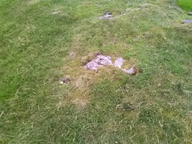
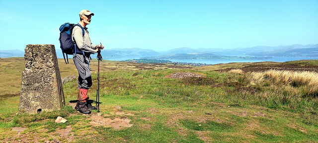
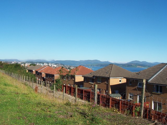
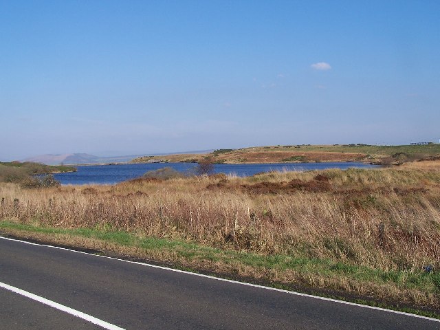
Knocknairs Moor Images
Images are sourced within 2km of 55.919952/-4.7220202 or Grid Reference NS3073. Thanks to Geograph Open Source API. All images are credited.


Knocknairs Moor is located at Grid Ref: NS3073 (Lat: 55.919952, Lng: -4.7220202)
Unitary Authority: Inverclyde
Police Authority: Renfrewshire and Inverclyde
What 3 Words
///chill.hype.tribe. Near Port Glasgow, Inverclyde
Nearby Locations
Related Wikis

Gibshill
Gibshill (sometimes spelt as Gibbshill and often referred to as The Gibby, but also known as Spam Island) is the easternmost housing estate in Greenock...

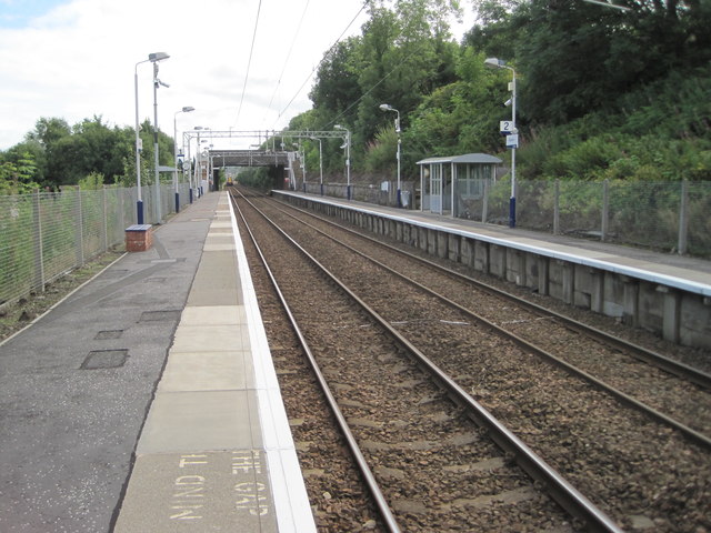
Bogston railway station
Bogston railway station is on the Inverclyde Line, at Bogston in the East end of Greenock in Inverclyde council area, Scotland. The station is 213⁄4 miles...

Easter Greenock Castle
Easter Greenock Castle was a castle of unknown design near the burgh of Greenock, Scotland. == History == === Construction and location === Built sometime...

Gryffe Reservoirs
The Gryffe Reservoirs, also spelled 'Gryfe', take their name from the River Gryffe, name deriving from the Gaelic garbh meaning "rough stream". are two...
Bogston
Bogston (Scots: Bogstoun, Scottish Gaelic: Baile na Fèithe) is an area of the towns of Port Glasgow and Greenock in the council area of Inverclyde, Scotland...

Cappielow
Cappielow, also known as Cappielow Park supported by Dalrada Technology UK for sponsorship reasons, is a football stadium in Greenock, Inverclyde, Scotland...
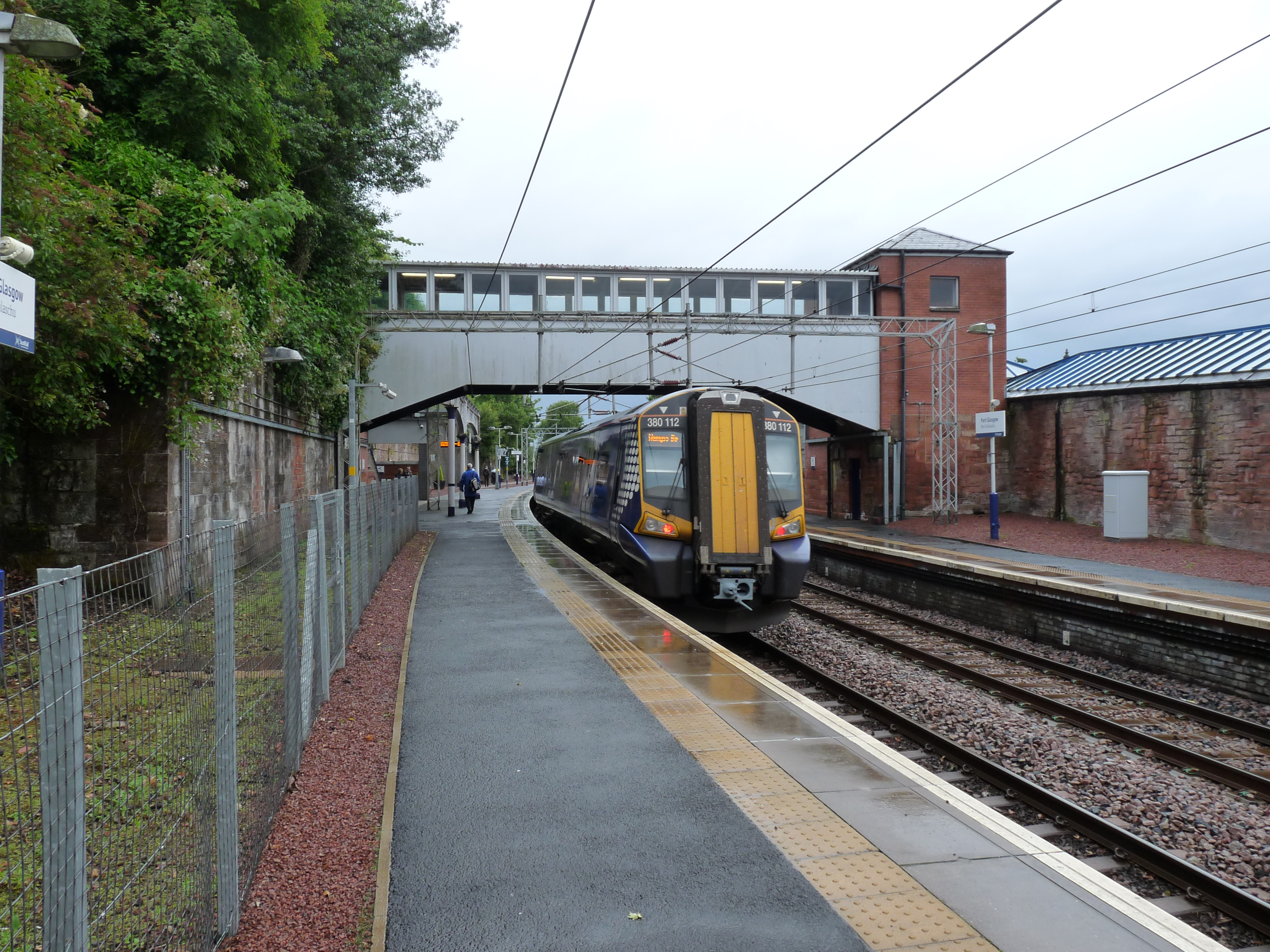
Port Glasgow railway station
Port Glasgow railway station is on the Inverclyde Line, serving the town of Port Glasgow, Scotland. It is located in the town centre with the main entrance...
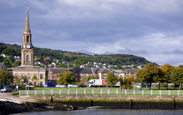
Port Glasgow
Port Glasgow (Scottish Gaelic: Port Ghlaschu, pronounced [pʰɔrˠʃt̪ˈɣl̪ˠas̪əxu]) is the second-largest town in the Inverclyde council area of Scotland....
Nearby Amenities
Located within 500m of 55.919952,-4.7220202Have you been to Knocknairs Moor?
Leave your review of Knocknairs Moor below (or comments, questions and feedback).