Knockbuckle

Settlement in Renfrewshire

Scotland

Knockbuckle

Ornate tiles In the common close of a building in the centre of the village. 


See also <a href="https://www.geograph.org.uk/photo/7623824">NS3569 : Ornate tiles</a>.
Ornate tiles Credit: Thomas Nugent

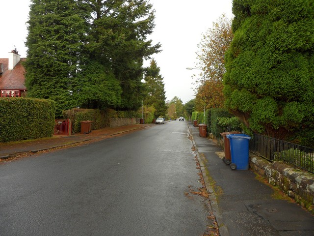
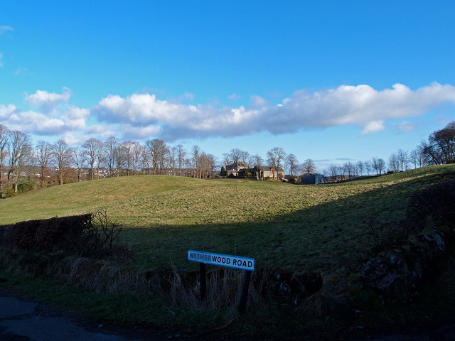
Knockbuckle is a small village located in the historic county of Renfrewshire, in the west central Lowlands of Scotland. Situated approximately 10 miles west of Glasgow, Knockbuckle is a peaceful and picturesque rural settlement surrounded by beautiful countryside.

The village is home to a close-knit community, with a population of around 500 residents. Despite its small size, Knockbuckle offers a range of amenities and services to cater to the needs of its inhabitants. These include a local primary school, a post office, a village hall, and a small convenience store. The village is also well-connected to nearby towns and cities, with regular bus services providing transportation links to Paisley and Glasgow.

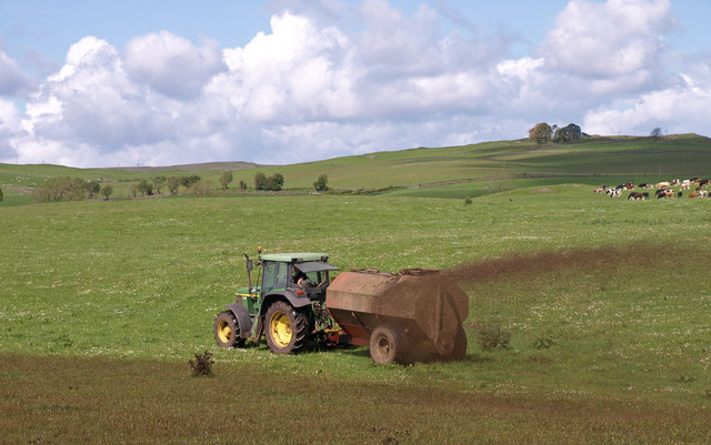
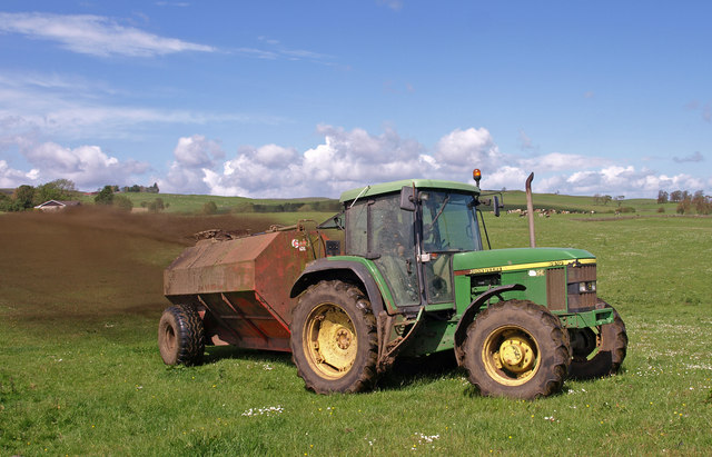
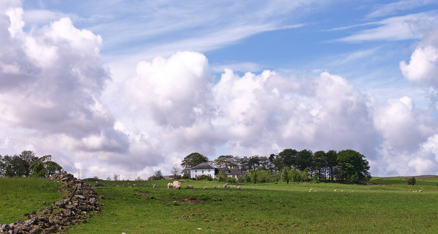
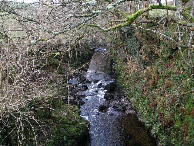
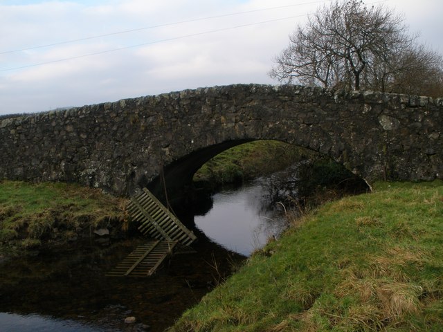
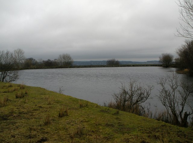
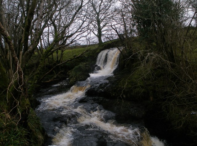
One of the noteworthy features of Knockbuckle is its stunning natural landscape. The village is situated near the banks of the River Clyde, offering residents and visitors the opportunity to enjoy scenic walks and outdoor activities. The surrounding countryside is characterized by rolling hills, lush green fields, and charming farmland, making it an ideal location for nature enthusiasts.

Knockbuckle is also conveniently located near several popular tourist attractions. The historic town of Paisley, known for its impressive abbey and rich textile heritage, is just a short drive away. Additionally, the vibrant city of Glasgow, renowned for its cultural offerings, shopping districts, and lively nightlife, is easily accessible from the village.

Overall, Knockbuckle provides a tranquil and idyllic setting for residents seeking a peaceful countryside lifestyle, while still offering easy access to nearby amenities and attractions.

If you have any feedback on the listing, please let us know in the comments section below.
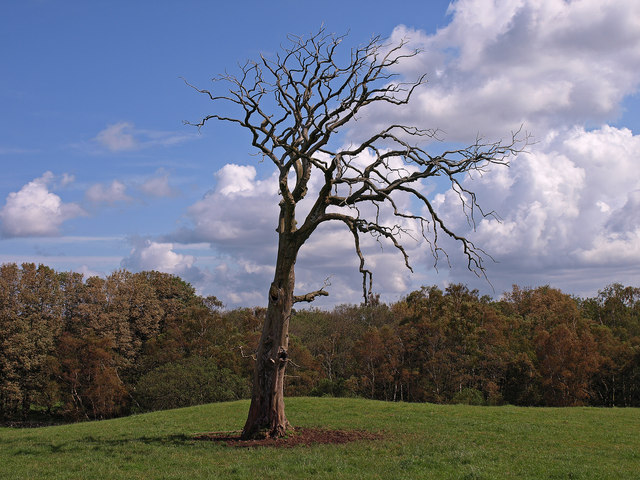
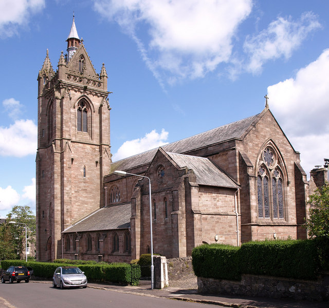
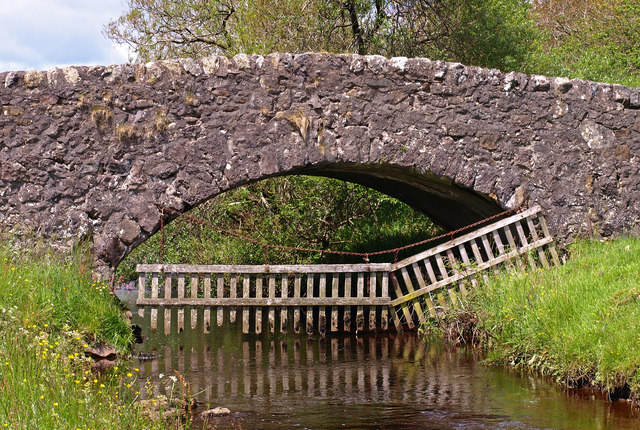
Knockbuckle Images

Images are sourced within 2km of 55.885449/-4.6556322 or Grid Reference NS3469. Thanks to Geograph Open Source API. All images are credited.

Ornate tiles In the common close of a building in the centre of the village. 


See also <a href="https://www.geograph.org.uk/photo/7623824">NS3569 : Ornate tiles</a>.
Ornate tiles
In the common close of a building in the centre of the village. See also NS3569 : Ornate tiles.
Ornate tiles In the common close of a building in the centre of the village. 


See also <a href="https://www.geograph.org.uk/photo/7623821">NS3569 : Ornate tiles</a>.
Ornate tiles
In the common close of a building in the centre of the village. See also NS3569 : Ornate tiles.
Slurry Spreading Near Blackwater Farm.
Slurry Spreading
Near Blackwater Farm.
Slurry Spreading Near Blackwater Farm. Farmer gave the thumbs up for the snap then a quick exit for me.
Slurry Spreading
Near Blackwater Farm. Farmer gave the thumbs up for the snap then a quick exit for me.
Dead Tree Duchall Wood in the background. Trees in the wood have been blasted by a storm making it look like Autumn not July!
Dead Tree
Duchall Wood in the background. Trees in the wood have been blasted by a storm making it look like Autumn not July!
Newton House Capitalization
Newton House
Capitalization
Ruined Cottage Trees have taken up residence.
Ruined Cottage
Trees have taken up residence.
Saint Columba Parish Church, Kilmacolm Church of Scotland.
Saint Columba Parish Church, Kilmacolm
Church of Scotland.
Burnbank Bridge Spans Green Water, known locally as Dippany Burn. Allows access to farms.
Burnbank Bridge
Spans Green Water, known locally as Dippany Burn. Allows access to farms.
Knockbuckle Road, Kilmacolm Just north of the rugby pitches.
Knockbuckle Road, Kilmacolm
Just north of the rugby pitches.
South Newton Converted farmhouse now used by Girl Guide Association
South Newton
Converted farmhouse now used by Girl Guide Association
Killochries Farm Kilmacolm
Green Water from Duchal Bridge
Burnbank Bridge over the Green Water
Kilmacolm Lower Reservoir
Waterfall on Blacketty Water
Netherwood Road near Kilmacolm Minor road junction near Netherwood.
Netherwood Road near Kilmacolm
Minor road junction near Netherwood.
Duchal Mains Farm
Duchal Mains Farm
Show me another place!

Knockbuckle is located at Grid Ref: NS3469 (Lat: 55.885449, Lng: -4.6556322)

Unitary Authority: Inverclyde

Police Authority: Renfrewshire and Inverclyde

What 3 Words

///tabs.massaging.cargo. Near Kilmacolm, Inverclyde

Nearby Locations

Knockbuckle

Related Wikis

St Columba's School, Kilmacolm

St Columba's School is a 3–18 mixed private day school in Kilmacolm, Inverclyde, Scotland. It is split across two sites and is a member of the Headmasters...

Duchal House

Duchal House is an 18th-century mansion and estate near Kilmacolm, Scotland. It is located in Inverclyde, in the former county of Renfrewshire. Duchal...

Kilmacolm railway station

Kilmacolm railway station was a railway station serving the village of Kilmacolm, in the current council area of Inverclyde and the historic county of...

Kilmacolm

Kilmacolm ( ) is a village and civil parish in the Inverclyde council area, and the historic county of Renfrewshire in the west central Lowlands of Scotland...

Nearby Amenities

Located within 500m of 55.885449,-4.6556322
Man Made: tower
Tower Type: communication
Lat/Long: 55.8867543/-4.6499522
Power: pole
Lat/Long: 55.8844275/-4.663292
Power: pole
Lat/Long: 55.8841167/-4.6622046
Power: pole
Lat/Long: 55.8837218/-4.6608817
Power: pole
Lat/Long: 55.8834729/-4.6600256
Power: pole
Lat/Long: 55.8833958/-4.6587777
Power: pole
Lat/Long: 55.883328/-4.6574966
Power: pole
Lat/Long: 55.8832661/-4.6564362
Power: pole
Lat/Long: 55.883203/-4.6553613
Power: pole
Lat/Long: 55.8831481/-4.6543905
Power: pole
Lat/Long: 55.8894243/-4.6588736
Power: pole
Lat/Long: 55.889325/-4.6577507
Power: pole
Lat/Long: 55.8892094/-4.65643
Power: pole
Lat/Long: 55.8891183/-4.6549613
Power: pole
Lat/Long: 55.8890657/-4.6538843
Power: pole
Lat/Long: 55.8890014/-4.6527781
Power: pole
Lat/Long: 55.8889909/-4.651524
Power: pole
Lat/Long: 55.8889933/-4.6509824
Power: pole
Lat/Long: 55.8854311/-4.6483013
Power: pole
Lat/Long: 55.8853879/-4.6492055
The data included in this document is from www.openstreetmap.org. The data is made available under ODbL.

Have you been to Knockbuckle?

Leave your review of Knockbuckle below (or comments, questions and feedback).