Knockbreck

Settlement in Inverness-shire

Scotland

Knockbreck

Knockbreack Primary School There is currently a proposal to build a new community school in Dunvegan, which will replace four existing north Skye schools; Dunvegan, Edinbane, Struan and this one at Knockbreck.
Knockbreack Primary School Credit: John Allan

Knockbreck is a small village located in Inverness-shire, Scotland. Situated in the northern part of the country, this charming settlement is nestled amidst picturesque landscapes and offers a tranquil rural atmosphere.

The village is surrounded by rolling hills, lush green fields, and scattered woodlands, creating an idyllic setting for nature enthusiasts and those seeking a peaceful retreat. The nearby Knockbreck Loch adds to the area's natural beauty, providing a serene spot for fishing or leisurely walks along its shores.

In terms of amenities, Knockbreck boasts a community center that serves as a hub for social activities and events. The center hosts various gatherings, including local festivals, art exhibitions, and community meetings. Additionally, the village has a small primary school, ensuring that children from the surrounding areas receive quality education within their local community.

While Knockbreck is predominantly residential, the nearby town of Dingwall is easily accessible, offering a wider range of services and amenities. Dingwall provides residents with access to supermarkets, shops, healthcare facilities, and a train station, making it a convenient hub for daily necessities.

The area surrounding Knockbreck is also rich in history, with several ancient ruins and historical sites to explore. Visitors can delve into the region's past by visiting nearby castles, such as Tulloch Castle and Dingwall Castle, which offer a glimpse into Scotland's medieval heritage.

Overall, Knockbreck is a tranquil village that provides a serene escape from the hustle and bustle of city life. Its beautiful natural surroundings, community spirit, and access to nearby amenities make it an appealing place for both locals and visitors alike.

If you have any feedback on the listing, please let us know in the comments section below.
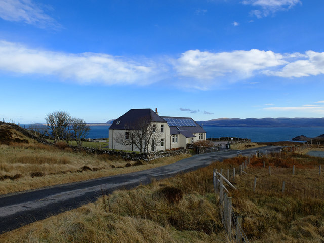
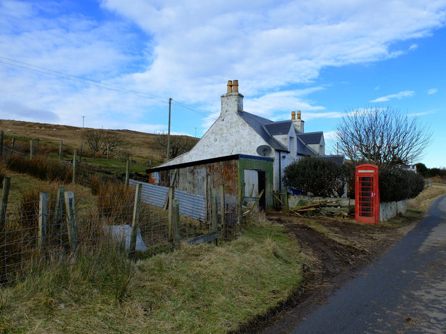
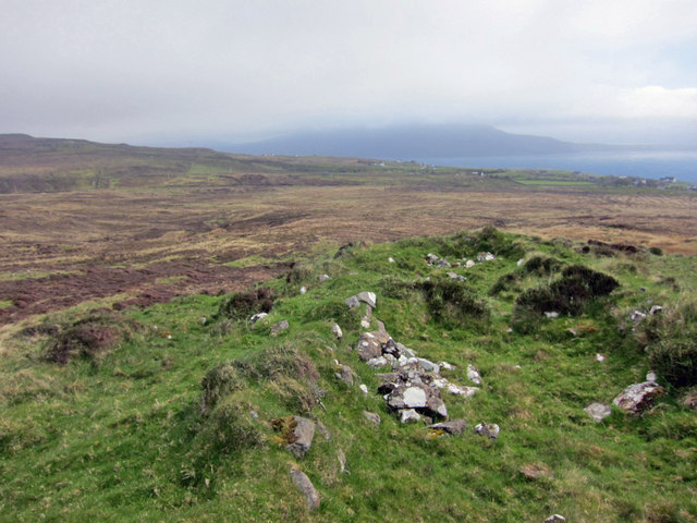
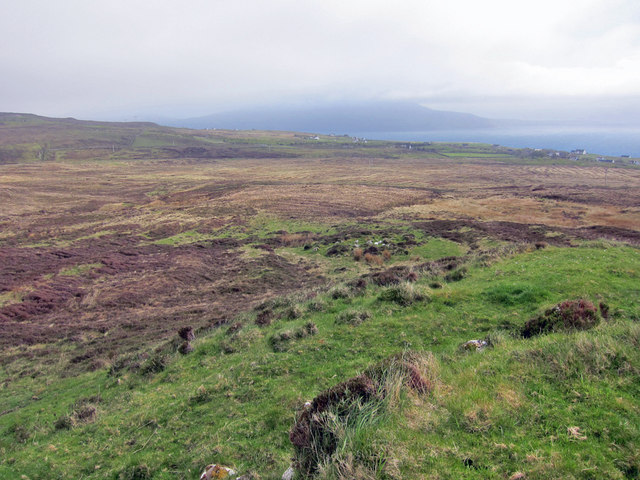
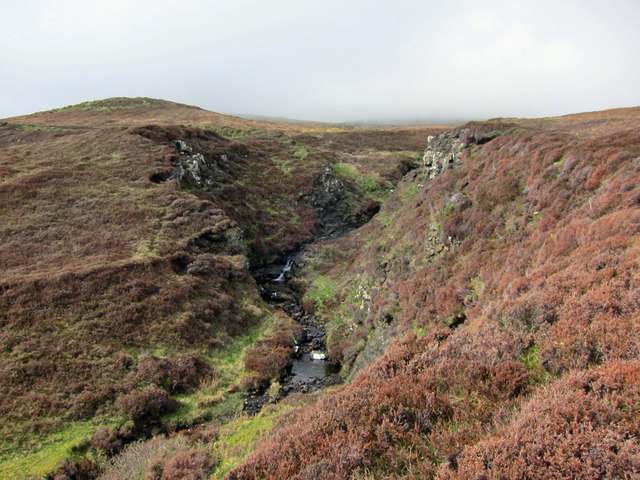
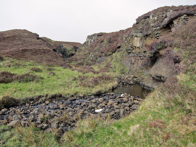
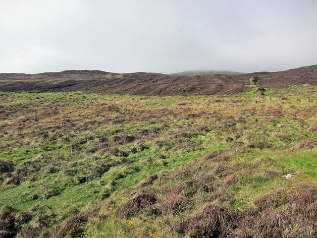
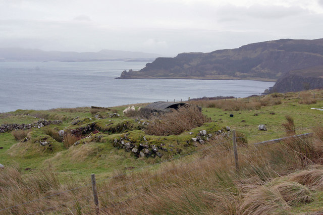
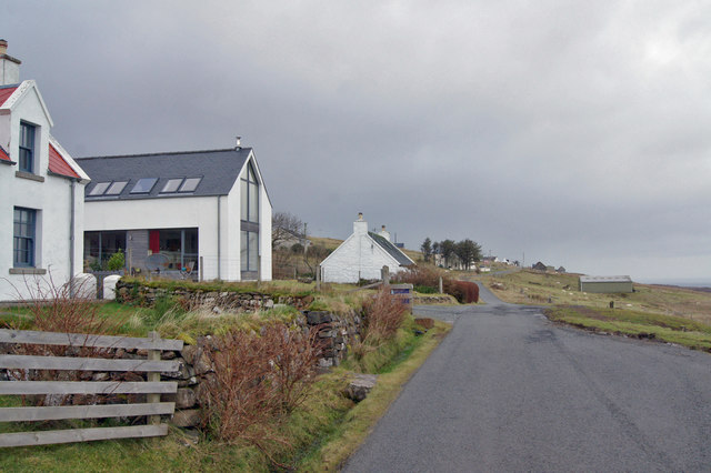
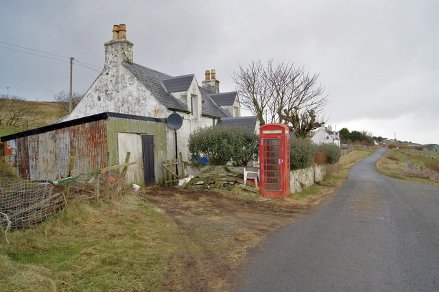
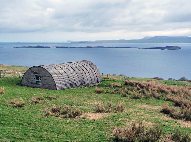
Knockbreck Images

Images are sourced within 2km of 57.551255/-6.573722 or Grid Reference NG2660. Thanks to Geograph Open Source API. All images are credited.

Knockbreack Primary School There is currently a proposal to build a new community school in Dunvegan, which will replace four existing north Skye schools; Dunvegan, Edinbane, Struan and this one at Knockbreck.
Knockbreack Primary School
There is currently a proposal to build a new community school in Dunvegan, which will replace four existing north Skye schools; Dunvegan, Edinbane, Struan and this one at Knockbreck.
Telephone box in Geary Still functional in a scene little altered during the past five years. <a href="https://www.geograph.org.uk/photo/2357331">NG2660 : Telephone box in Geary</a>
Telephone box in Geary
Still functional in a scene little altered during the past five years. NG2660 : Telephone box in Geary
One of many ruins Halistra was at one time very much more populated than is the case today. The Highland Council Historic Environment Record shows more than 18 farmsteads in the area, and 99 buildings plus a number of enclosures. A vast area of land was cultivated in broad lazybeds which has now reverted to heather moorland.
One of many ruins
Halistra was at one time very much more populated than is the case today. The Highland Council Historic Environment Record shows more than 18 farmsteads in the area, and 99 buildings plus a number of enclosures. A vast area of land was cultivated in broad lazybeds which has now reverted to heather moorland.
Once cultivated land This view is from one of many ruined buildings on the lower south-west facing slope of Ben Halistra. In the late 1700s, almost all of the heather moorland in the image was cultivated in broad lazybeds, 4 to 5 metres in width. The patterns of the beds do not show up well in photographs taken from the ground, though aerial photographs show the beds quite clearly.
Once cultivated land
This view is from one of many ruined buildings on the lower south-west facing slope of Ben Halistra. In the late 1700s, almost all of the heather moorland in the image was cultivated in broad lazybeds, 4 to 5 metres in width. The patterns of the beds do not show up well in photographs taken from the ground, though aerial photographs show the beds quite clearly.
Allt na Claise Moire The small river flows through a steep sided gorge here, as it flows down the south facing slope of Ben Halistra
Allt na Claise Moire
The small river flows through a steep sided gorge here, as it flows down the south facing slope of Ben Halistra
Allt na Claise Moire Looking up the river into a gorge on the hillside of Ben Halistra.
Allt na Claise Moire
Looking up the river into a gorge on the hillside of Ben Halistra.
Lazybeds on Ben Halistra There is a vast area of hand-dug once-cultivated land on the south facing slope of Ben Halistra, just north of the modern township of Upper Halistra. The land was being farmed in the late 1700s, but was abandoned in the mid-1800s, and has now reverted to heather moorland. The land still shows the distinctive pattern of broad stripes. The stripes show up well in aerial photographs. 
See also <a href="https://www.geograph.org.uk/photo/4956661">NG2459 : The Farm of Halistra</a>.
Lazybeds on Ben Halistra
There is a vast area of hand-dug once-cultivated land on the south facing slope of Ben Halistra, just north of the modern township of Upper Halistra. The land was being farmed in the late 1700s, but was abandoned in the mid-1800s, and has now reverted to heather moorland. The land still shows the distinctive pattern of broad stripes. The stripes show up well in aerial photographs. See also NG2459 : The Farm of Halistra.
Barn in Geary Showing some weathering since pictured 13 years earlier.  <a href="https://www.geograph.org.uk/photo/118753">NG2661 : Barn with a view</a>
Barn in Geary
Showing some weathering since pictured 13 years earlier. NG2661 : Barn with a view
Big gateposts, little gate This pair of massive gateposts by the roadside in Geary clearly pre-date the wrought iron gate between them. Today, there is no sign of a house that the gateway led to, though there are three fairly modern agricultural barns below the gate, one of which may have been built on the footprint of a former house.
Big gateposts, little gate
This pair of massive gateposts by the roadside in Geary clearly pre-date the wrought iron gate between them. Today, there is no sign of a house that the gateway led to, though there are three fairly modern agricultural barns below the gate, one of which may have been built on the footprint of a former house.
Croft land in Geary Apart from a few barns, almost all of the development in Geary is on the landward side of the road (the left in this picture) with crofts stretching down towards the sea.
Croft land in Geary
Apart from a few barns, almost all of the development in Geary is on the landward side of the road (the left in this picture) with crofts stretching down towards the sea.
Old ruins in Geary All of the residential development in Geary is on the landward side of the township road, so the grass-covered ruined walls here were probably once a barn and enclosure.
Old ruins in Geary
All of the residential development in Geary is on the landward side of the township road, so the grass-covered ruined walls here were probably once a barn and enclosure.
Thorn between the roses? An ultra-modern largely glazed house has been squeezed into a plot between two traditional croft cottages in Geary. It's not a building to my taste, and I am surprised the planning department allowed it.
Thorn between the roses?
An ultra-modern largely glazed house has been squeezed into a plot between two traditional croft cottages in Geary. It's not a building to my taste, and I am surprised the planning department allowed it.
Large barn in Geary The township of Geary grew up on crofting, though many of the original cottages are now let as holiday accommodation. However, the presence of this modern barn is an indication that agriculture still has a place in the local economy.
Large barn in Geary
The township of Geary grew up on crofting, though many of the original cottages are now let as holiday accommodation. However, the presence of this modern barn is an indication that agriculture still has a place in the local economy.
Barn in Geary At least two sheep were sheltering within.
Barn in Geary
At least two sheep were sheltering within.
Retired phone box in Geary This telephone box stands at the side of the township road, almost incorporated within an obviously active croft. 
The box no longer contains any telephone equipment.
Retired phone box in Geary
This telephone box stands at the side of the township road, almost incorporated within an obviously active croft. The box no longer contains any telephone equipment.
Bun-sgoil a' Chnuic Bhric / Knockbreck Primary School Sporting an array of solar panels on its roof, an addition since 2008 <a title="https://www.geograph.org.uk/photo/646906" href="https://www.geograph.org.uk/photo/646906">Link</a>
Bun-sgoil a' Chnuic Bhric / Knockbreck Primary School
Sporting an array of solar panels on its roof, an addition since 2008 Link
Telephone box in Geary
Agricultural building at Geary A construction like a Nissen Hut on the croft land below Geary. In the view are the Ascrib Islands in Loch Snizort, with the north end of Trotternish in the distance.
Agricultural building at Geary
A construction like a Nissen Hut on the croft land below Geary. In the view are the Ascrib Islands in Loch Snizort, with the north end of Trotternish in the distance.
Show me another place!

Knockbreck is located at Grid Ref: NG2660 (Lat: 57.551255, Lng: -6.573722)

Unitary Authority: Highland

Police Authority: Highlands and Islands

What 3 Words

///zoos.height.dimes. Near Dunvegan, Highland

Related Wikis

Gillen, Skye

Gillen (Scottish Gaelic: Gilean) is a hamlet on the Waternish peninsula of the island of Skye in the Scottish council area of Highland. == References ==

Waternish

Waternish or Vaternish (Scottish Gaelic: Bhàtairnis) is a peninsula approximately 12 kilometres (7+1⁄2 miles) long on the island of Skye, Scotland, situated...

Dun Hallin

Dun Hallin is an Iron Age broch located near the northwest coast of the island of Skye, in Scotland (grid reference NG25665927). == Location == Dun Hallin...

Geary, Skye

Geary is a small crofting township, of some 40 houses, located on the remote northeast coast of the Waternish peninsula, overlooking the sea loch Loch...

Related Videos

Nearby Amenities

Located within 500m of 57.551255,-6.573722
Source: PGS
Lat/Long: 57.5495275/-6.5660399
Source: PGS
Lat/Long: 57.5498839/-6.5665538
Source: PGS
Lat/Long: 57.5504952/-6.5670277
Source: PGS
Lat/Long: 57.5508034/-6.5672721
Source: PGS
Lat/Long: 57.5514195/-6.5675213
Source: PGS
Lat/Long: 57.5520452/-6.5676907
Source: PGS
Lat/Long: 57.5525314/-6.5677426
Source: PGS
Lat/Long: 57.5528727/-6.5678294
Source: PGS
Lat/Long: 57.5538311/-6.5676367
Barrier: cattle_grid
Source: survey
Lat/Long: 57.5527838/-6.5740788
Knockbreck
Name Gd: An Cnoc Breac
Place: hamlet
Source: OS OpenData
Lat/Long: 57.5503935/-6.5705181
Passing Place
Lat/Long: 57.5546245/-6.5749216
Entrance: main
Lat/Long: 57.5485219/-6.5768561
Entrance: main
Lat/Long: 57.5485933/-6.5768112
Telephone
Booth: K6
Covered: booth
Source: survey
Lat/Long: 57.5539188/-6.5748102
Post Box
Brand: Royal Mail
Brand Wikidata: Q638098
Collection Times: Mo-Sa 07:45
Drive Through: no
Operator: Royal Mail
Operator Wikidata: Q638098
Post Box Type: lamp
Ref: IV55 39
Source: survey
Lat/Long: 57.5510743/-6.573557
Entrance: yes
Lat/Long: 57.5485356/-6.5770768
Power: pole
Lat/Long: 57.5470384/-6.5763358
Power: pole
Lat/Long: 57.5473203/-6.5753515
Power: pole
Lat/Long: 57.5475018/-6.574814
Power: pole
Lat/Long: 57.5478139/-6.5739222
Power: pole
Lat/Long: 57.5480408/-6.573262
Power: pole
Lat/Long: 57.5483713/-6.5722696
Power: pole
Lat/Long: 57.5486575/-6.5714443
Power: pole
Lat/Long: 57.5489329/-6.5706109
Power: pole
Lat/Long: 57.549069/-6.570156
Power: pole
Lat/Long: 57.5493866/-6.5708897
Power: pole
Lat/Long: 57.5499007/-6.5711957
Power: pole
Lat/Long: 57.5503824/-6.5714533
Power: pole
Lat/Long: 57.5551339/-6.5773976
Power: pole
Lat/Long: 57.5544687/-6.5772447
Power: pole
Lat/Long: 57.5538142/-6.5771158
Power: pole
Lat/Long: 57.5529826/-6.5769186
Power: pole
Lat/Long: 57.5523065/-6.5767978
Power: pole
Lat/Long: 57.5517363/-6.5764435
Power: pole
Lat/Long: 57.5511963/-6.5761093
Power: pole
Lat/Long: 57.5506087/-6.5757067
Power: pole
Lat/Long: 57.5500363/-6.5753605
Power: pole
Lat/Long: 57.5494725/-6.5749982
Power: pole
Lat/Long: 57.5488762/-6.5746036
Power: pole
Lat/Long: 57.5481958/-6.5741568
Passing Place
Lat/Long: 57.5539809/-6.5747729
Passing Place
Lat/Long: 57.553561/-6.5746734
The data included in this document is from www.openstreetmap.org. The data is made available under ODbL.

Have you been to Knockbreck?

Leave your review of Knockbreck below (or comments, questions and feedback).