Caudale Moor
Hill, Mountain in Westmorland Eden
England
Caudale Moor

Caudale Moor is a hill located in the county of Westmorland, in the northwest region of England. Situated within the Lake District National Park, it forms part of the Eastern Fells range, offering stunning views and a challenging terrain for outdoor enthusiasts.
Standing at an elevation of 763 meters (2,503 feet), Caudale Moor is classified as a mountain rather than a hill. It is primarily composed of volcanic rock, with its distinctive summit adorned with a cairn, a man-made pile of stones traditionally used as a marker or memorial.
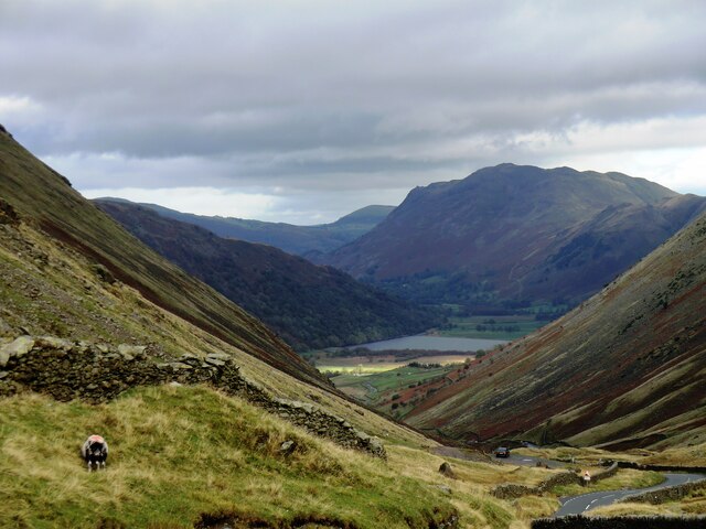
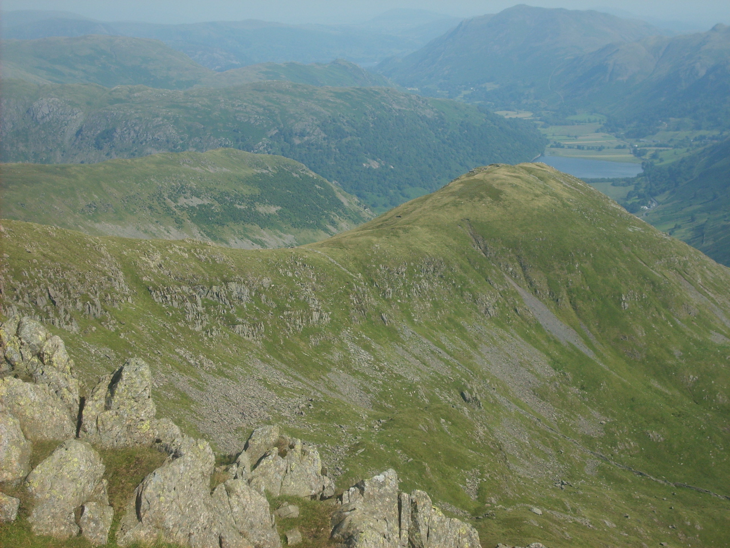
The hill's diverse landscape features steep slopes, crags, and rocky outcrops, making it a popular destination for hill walkers, hikers, and climbers. Its western face overlooks the picturesque Patterdale Valley, while its eastern side offers breathtaking vistas of the beautiful Haweswater Reservoir.
Caudale Moor is known for its challenging and rugged terrain, attracting experienced adventurers seeking a thrilling outdoor experience. The ascent to the summit can be demanding, with paths often becoming steep and rocky, requiring careful navigation. However, the rewarding panoramic views of the surrounding mountains, lakes, and valleys make the effort worthwhile.
The hill is accessible from various starting points, including the village of Hartsop and the Kirkstone Pass road. It is advisable to check weather conditions and be properly equipped before embarking on a hike or climb to Caudale Moor, as the mountain weather can change rapidly, with strong winds and low visibility common at higher altitudes.
If you have any feedback on the listing, please let us know in the comments section below.
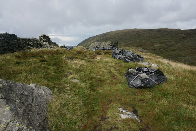
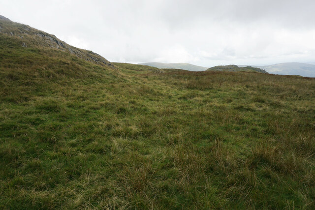
Caudale Moor Images
Images are sourced within 2km of 54.482627/-2.9077761 or Grid Reference NY4110. Thanks to Geograph Open Source API. All images are credited.


Caudale Moor is located at Grid Ref: NY4110 (Lat: 54.482627, Lng: -2.9077761)
Administrative County: Cumbria
District: Eden
Police Authority: Cumbria
Also known as: John Bell's Banner
What 3 Words
///visual.elbow.emporium. Near Ambleside, Cumbria
Nearby Locations
Related Wikis

Stony Cove Pike
Stony Cove Pike (alternatively known as Caudale Moor or John Bell's Banner) is a fell in the Far Eastern part of the English Lake District. It stands...

Kirkstone Pass
Kirkstone Pass is a mountain pass in the English Lake District, in the county of Cumbria. It is at an altitude of 1,489 feet (454 m). It is the District...
Middle Dodd
Middle Dodd is a fell in the English Lake District, an outlier of the Helvellyn range in the Eastern Fells. It stands above Kirkstone Pass on the road...

Hartsop Dodd
Hartsop Dodd is a fell in the English Lake District, standing to the south east of Brothers Water. It is a subsidiary top on the north ridge of Caudale...
Thornthwaite Crag
Thornthwaite Crag is a fell in the English Lake District, standing to the west of Haweswater Reservoir. It is a focal point of the Far Eastern Fells, standing...

High Hartsop Dodd
High Hartsop Dodd is a fell in the English Lake District, an outlier of the Fairfield group in the Eastern Fells. It stands above Kirkstone Pass on the...

Gray Crag
Gray Crag is a fell in the Lake District in Cumbria, England. == Topography == The fell reaches a height of 699 metres (2,293 feet) at the northern end...

Red Screes
Red Screes is a fell in the English Lake District, situated between the villages of Patterdale and Ambleside. It may be considered an outlier of the Fairfield...
Nearby Amenities
Located within 500m of 54.482627,-2.9077761Have you been to Caudale Moor?
Leave your review of Caudale Moor below (or comments, questions and feedback).