Chanctonbury Ring
Heritage SIte in Sussex Horsham
England
Chanctonbury Ring
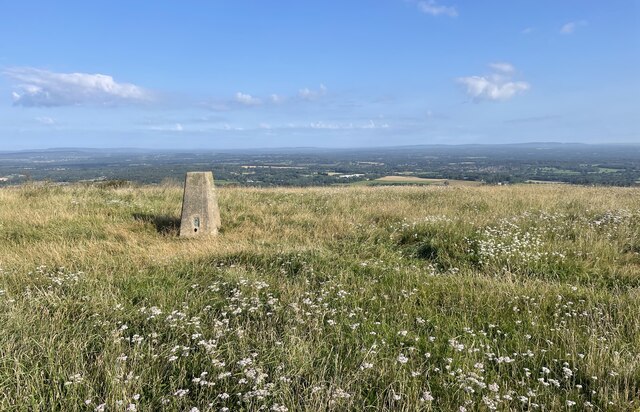
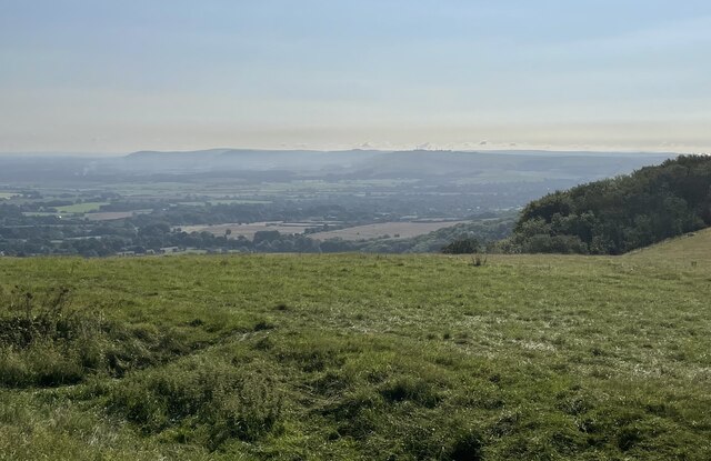
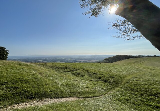
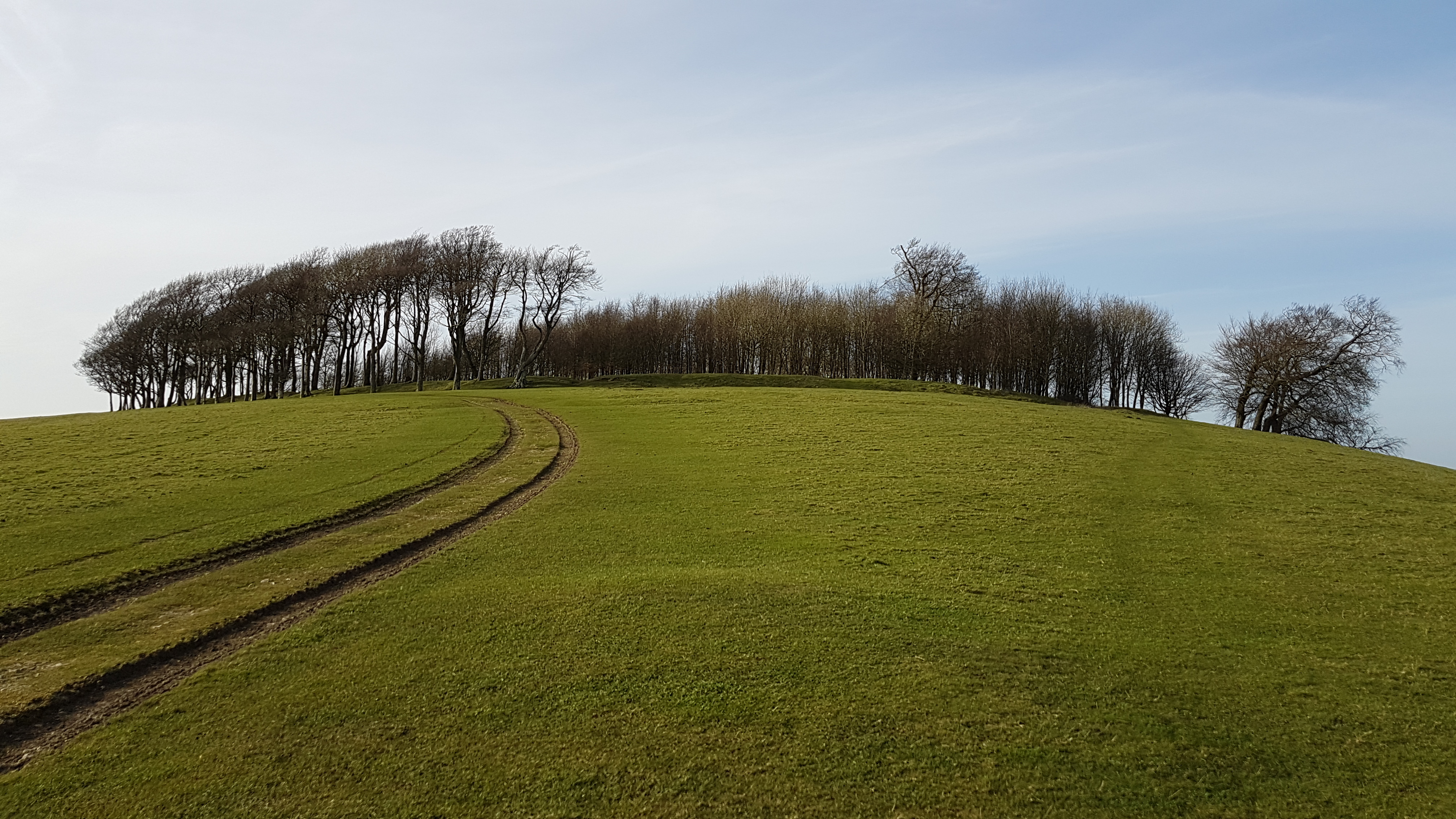
Chanctonbury Ring is a prominent heritage site located in the South Downs National Park in West Sussex, England. It is an iconic hilltop landmark situated on the South Downs Way, offering breathtaking panoramic views of the surrounding countryside.
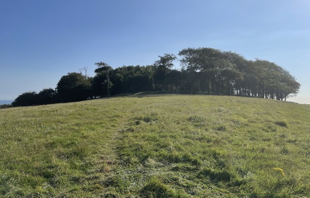
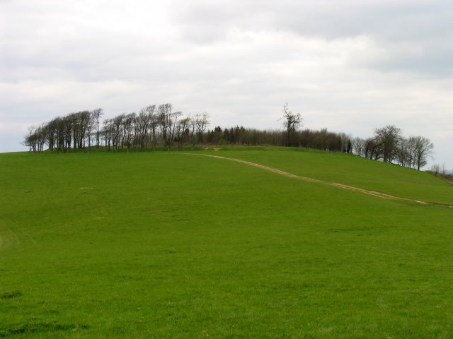
The site is characterized by an ancient circular earthwork, believed to be a prehistoric hillfort. The earthwork consists of a large ditch and bank, forming a circular enclosure with a diameter of 200 meters. Within the enclosure, there are remnants of a Bronze Age barrow, indicating human activity on the site dating back thousands of years.
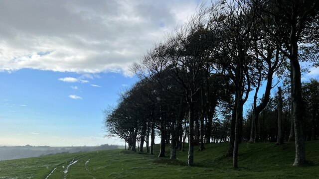
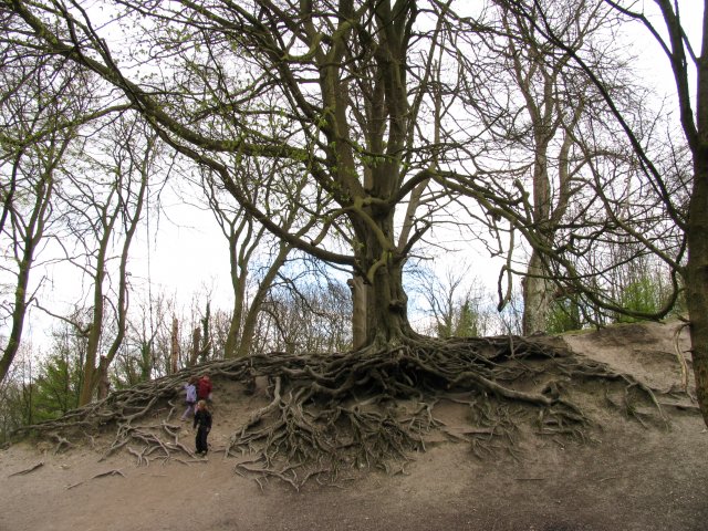
At the center of the enclosure stands a clump of beech trees, known as the Chanctonbury Ring. These trees were planted in the late 18th century, replacing an earlier grove that was destroyed in a storm. The beech trees have now grown into a distinctive feature, visible from miles around, and have become an integral part of the site's identity.
Chanctonbury Ring has long been associated with folklore and legends. Local myths suggest that it was a gathering place for druids and witches, and that it is haunted by the ghost of a man who committed suicide there. These tales have contributed to the site's mysterious and enchanting reputation.
Today, Chanctonbury Ring is a popular destination for hikers, nature enthusiasts, and history buffs. Its elevated position and stunning vistas offer visitors a unique opportunity to appreciate the natural beauty of the South Downs while immersing themselves in the rich heritage of the area. The site is also a designated Site of Special Scientific Interest, protecting its diverse flora and fauna.
If you have any feedback on the listing, please let us know in the comments section below.
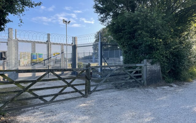
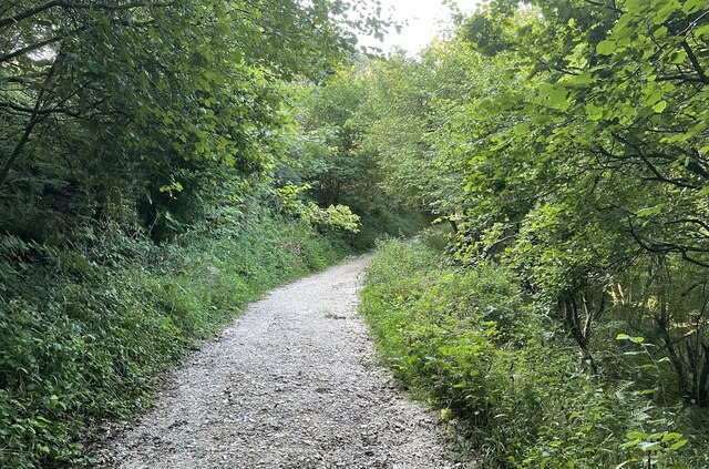
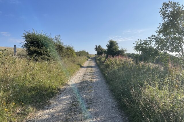
Chanctonbury Ring Images
Images are sourced within 2km of 50.896827/-0.38132677 or Grid Reference TQ1312. Thanks to Geograph Open Source API. All images are credited.


Chanctonbury Ring is located at Grid Ref: TQ1312 (Lat: 50.896827, Lng: -0.38132677)
Administrative County: West Sussex
District: Horsham
Police Authority: Sussex
Also known as: Chanctonbury Hill
What 3 Words
///prefect.notched.mainframe. Near Washington, West Sussex
Nearby Locations
Related Wikis
Chanctonbury Ring
Chanctonbury Ring is a prehistoric hill fort atop Chanctonbury Hill on the South Downs, on the border of the civil parishes of Washington and Wiston in...

Chanctonbury Hill
Chanctonbury Hill is an 82.7-hectare (204-acre) biological Site of Special Scientific Interest west of Steyning in West Sussex. Part of it is Chanctonbury...
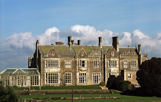
Wiston House
Wiston House is a 16th-century Grade I listed building set in the South Downs National Park on the south coast of England, surrounded by over 6,000 acres...

South Downs National Park
The South Downs National Park is England's newest national park, designated on 31 March 2010. The park, covering an area of 1,627 square kilometres (628...

Washington, West Sussex
Washington is a village and civil parish in the Horsham District of West Sussex, England. It is located five miles (eight kilometres) west of Steyning...

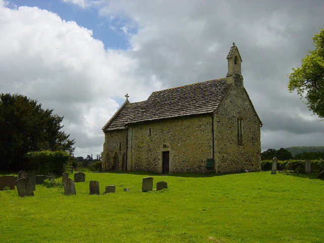
All Saints Church, Buncton
All Saints Church is an Anglican church in the hamlet of Buncton in the district of Horsham, one of seven local government districts in the English county...
Buncton
Buncton () is a small village in the Horsham District of West Sussex, England, part of the civil parish of Wiston 0.5 miles (0.80 km) north. It lies to...

Rock Mill, Washington
Rock Mill is a Grade II listed smock mill at Washington, West Sussex, England, which has been converted to residential use. == History == Rock Mill was...
Nearby Amenities
Located within 500m of 50.896827,-0.38132677Have you been to Chanctonbury Ring?
Leave your review of Chanctonbury Ring below (or comments, questions and feedback).