Cerrig y leirch
Hill, Mountain in Merionethshire
Wales
Cerrig y leirch

The requested URL returned error: 429 Too Many Requests
If you have any feedback on the listing, please let us know in the comments section below.
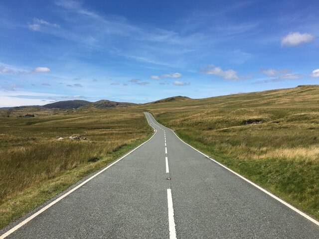
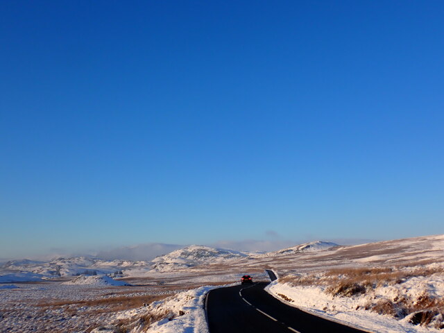
Cerrig y leirch Images
Images are sourced within 2km of 52.965552/-3.8494563 or Grid Reference SH7542. Thanks to Geograph Open Source API. All images are credited.


Cerrig y leirch is located at Grid Ref: SH7542 (Lat: 52.965552, Lng: -3.8494563)
Unitary Authority: Gwynedd
Police Authority: North Wales
Also known as: Moel Llechwedd-gwyn
What 3 Words
///branched.crew.evaporate. Near Ffestiniog, Gwynedd
Nearby Locations
Related Wikis
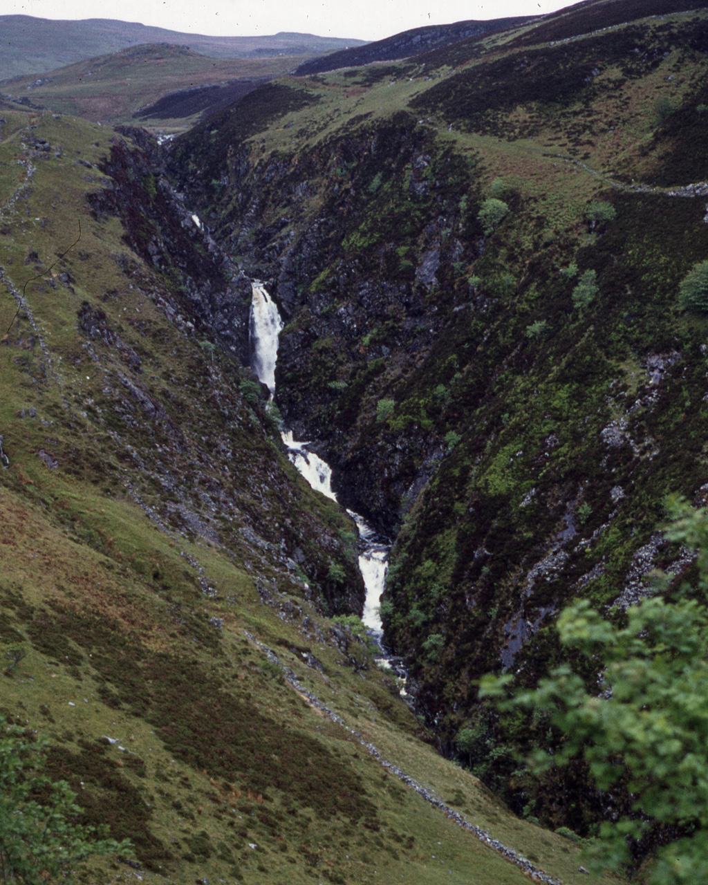
Rhaeadr y Cwm
The Rhaeadr y Cwm is a waterfall on the Afon Cynfal river in Gwynedd, North Wales. The falls are located near the B4391 road, some 3 miles (5 km) east...

Migneint
The Migneint (Welsh pronunciation: [ˈmɪɡnaint]) is a large expanse of moorland in central Snowdonia, north-west Wales. It is part of the Migneint-Arenig...

Bwlch y Slaters quarry
Bwlch y Slaters quarry (also known as Manod quarry, New Manod quarry, or, since the closure of the nearby Cwt y Bugail quarry, Cwt y Bugail quarry) is...
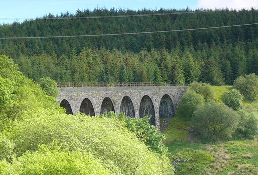
Cwm Prysor Viaduct
Cwm Prysor Viaduct, which is occasionally referred to as Blaen-y-Cwm Viaduct, is a railway viaduct which crosses the Afon Prysor in thinly populated uplands...
Nearby Amenities
Located within 500m of 52.965552,-3.8494563Have you been to Cerrig y leirch?
Leave your review of Cerrig y leirch below (or comments, questions and feedback).