Carn Enoch

Hill, Mountain in Pembrokeshire

Wales

Carn Enoch

Carn Gwiber toward Newport Atop Carn Gwiber (possible Bronze Age round barrow) looking eastward.

The word 'gwiber' means viper and hence this is ostensibly a site for snakes. The carn is surrounded by one large stone wall apparently prehistoric.
Carn Gwiber toward Newport Credit: Jakob Matera-Byford

The requested URL returned error: 429 Too Many Requests

If you have any feedback on the listing, please let us know in the comments section below.
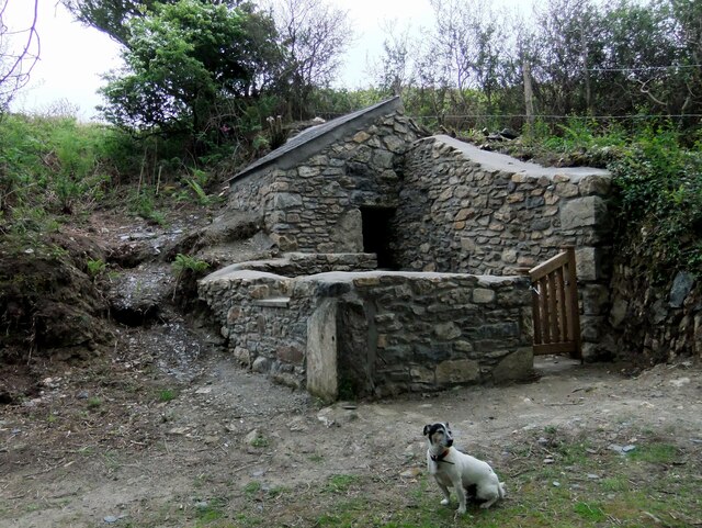
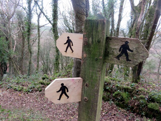
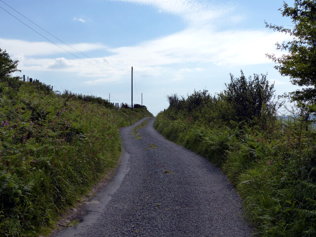
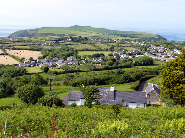
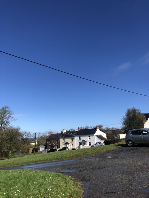
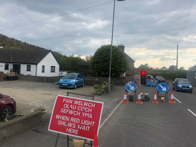
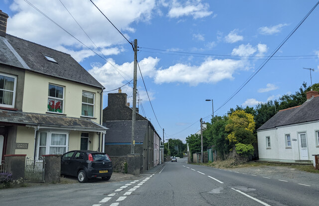
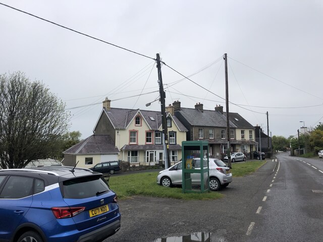
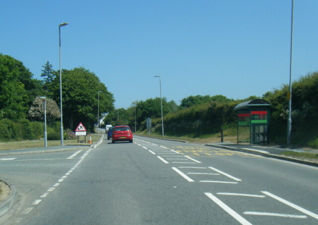
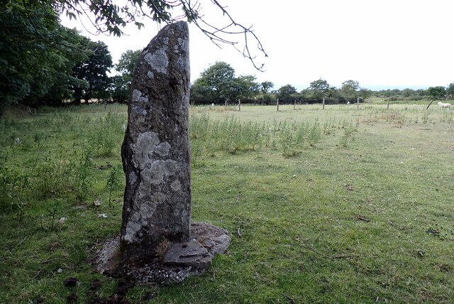
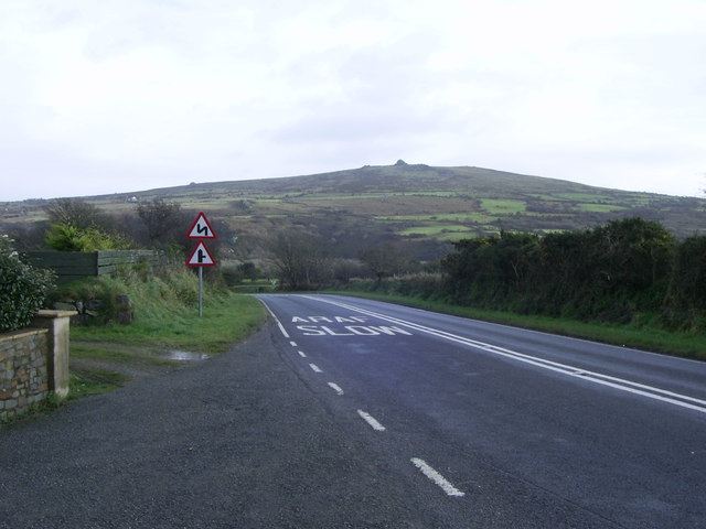
Carn Enoch Images

Images are sourced within 2km of 51.994615/-4.9011511 or Grid Reference SN0036. Thanks to Geograph Open Source API. All images are credited.

Carn Gwiber toward Newport Atop Carn Gwiber (possible Bronze Age round barrow) looking eastward.

The word 'gwiber' means viper and hence this is ostensibly a site for snakes. The carn is surrounded by one large stone wall apparently prehistoric.
Carn Gwiber toward Newport
Atop Carn Gwiber (possible Bronze Age round barrow) looking eastward. The word 'gwiber' means viper and hence this is ostensibly a site for snakes. The carn is surrounded by one large stone wall apparently prehistoric.
Pig sty, Pen-y-wennol The pig sty at the site of the now-ruined farm of Pen-y-wennol was restored to  immaculate condition in 2011, when this photo was taken. It has since become very overgrown. It can be viewed from a footpath running along the hillside.

Pen-y-wennol: top of the shuttle, probably a reference to the steep winding road from the village to access the place - although 'gwennol' is also the word for swallow (the bird).
Pig sty, Pen-y-wennol
The pig sty at the site of the now-ruined farm of Pen-y-wennol was restored to immaculate condition in 2011, when this photo was taken. It has since become very overgrown. It can be viewed from a footpath running along the hillside. Pen-y-wennol: top of the shuttle, probably a reference to the steep winding road from the village to access the place - although 'gwennol' is also the word for swallow (the bird).
Foot path direction signs New signage added to old. The figures look very masculine, striding out with an apprearance of urgency rather than pleasure.
Foot path direction signs
New signage added to old. The figures look very masculine, striding out with an apprearance of urgency rather than pleasure.
Lane heading south-west on hill above Dinas Cross
Dinas Cross seen from the scenic view point
Hillside houses south of Dinas Cross
Bi-lingual road sign at roadworks
At Garden Terrace, on the A487 in Dinas Cross, heading east
View to Mynydd Dinas From the Magic Garden at Dyffryn Fernant
View to Mynydd Dinas
From the Magic Garden at Dyffryn Fernant
Entering Dinas Cross on the A487 The old telephone kiosk has been painted green and now houses a defibrillator.
Entering Dinas Cross on the A487
The old telephone kiosk has been painted green and now houses a defibrillator.
Pencnwc Traditional-style old farm that looks considerably less agricultural now than when I last photographed it for Geograph in 2006.
<a title="https://www.geograph.org.uk/photo/211234" href="https://www.geograph.org.uk/photo/211234">Link</a>
Pencnwc was the home of William Batine James who emigrated to the North America in 1871 and subsequently enlisted in the US Cavalry under General Custer. He disappeared, presumed killed, in the battle of Little Bighorn in 1876.
See the novel: If God Will Spare My Life by Mike Lewis, 2021.
Pencnwc
Traditional-style old farm that looks considerably less agricultural now than when I last photographed it for Geograph in 2006. Link Pencnwc was the home of William Batine James who emigrated to the North America in 1871 and subsequently enlisted in the US Cavalry under General Custer. He disappeared, presumed killed, in the battle of Little Bighorn in 1876. See the novel: If God Will Spare My Life by Mike Lewis, 2021.
Modern graffito on Garn Fawr outcrop This engraved symbol appeared on one of the large boulders at Garn Fawr on Mynydd Dinas in 2022. It would appear to be a Christian symbol but the words(?) below are illegible, or have been obliterated.
No explanation has been found and the perpetrator is unknown.
Modern graffito on Garn Fawr outcrop
This engraved symbol appeared on one of the large boulders at Garn Fawr on Mynydd Dinas in 2022. It would appear to be a Christian symbol but the words(?) below are illegible, or have been obliterated. No explanation has been found and the perpetrator is unknown.
A487 in Dinas Cross
A487 in Dinas Cross
A487 near Dinas Cross service station
Standing stone Stone pillar of unknown date. It is not marked or recorded as an  ancient site and may have been simply a gatepost, although now some yards from the current field boundary. It can be viewed from the gate on the road.
Standing stone
Stone pillar of unknown date. It is not marked or recorded as an ancient site and may have been simply a gatepost, although now some yards from the current field boundary. It can be viewed from the gate on the road.
Animal Stone Stiles, near Fishguard In some places known as a "sheep creep". Situated about 700 yds SE of Dinas Mountain.
A view from the other side is <a href="https://www.geograph.org.uk/photo/7645440">SN0136 : Animal Stone Stiles, near Fishguard</a>.
Animal Stone Stiles, near Fishguard
In some places known as a "sheep creep". Situated about 700 yds SE of Dinas Mountain. A view from the other side is SN0136 : Animal Stone Stiles, near Fishguard.
Animal Stone Stiles, near Fishguard In some places known as a "sheep creep". Situated about 700 yds SE of Dinas Mountain.
A view from the other side is <a href="https://www.geograph.org.uk/photo/7645439">SN0136 : Animal Stone Stiles, near Fishguard</a>.
Animal Stone Stiles, near Fishguard
In some places known as a "sheep creep". Situated about 700 yds SE of Dinas Mountain. A view from the other side is SN0136 : Animal Stone Stiles, near Fishguard.
Araf (Slow) bend ahead on the A487 heading for Dinas Cross The "Araf/Slow" signs indicate, there is a sharp bend and road junction ahead on the A487 approaching Dinas Cross.
Araf (Slow) bend ahead on the A487 heading for Dinas Cross
The "Araf/Slow" signs indicate, there is a sharp bend and road junction ahead on the A487 approaching Dinas Cross.
Show me another place!

Carn Enoch is located at Grid Ref: SN0036 (Lat: 51.994615, Lng: -4.9011511)

Unitary Authority: Pembrokeshire

Police Authority: Dyfed Powys

Also known as: Mynydd Dinas

What 3 Words

///players.buzzing.debut. Near Fishguard, Pembrokeshire

Related Wikis

Dinas Cross

Dinas Cross (Welsh: Dinas) is a village, a community and a former parish in Pembrokeshire, Wales. Located between Fishguard and Newport in the Pembrokeshire...

Brynhenllan

Bryn-henllan, Bryn Henllan or Brynhenllan is a small settlement in the community of Dinas Cross, north Pembrokeshire, Wales, just north of the A487 road...

Cwm-yr-Eglwys

Cwm-yr-Eglwys (English: Valley of the Church) is a hamlet in a picturesque cove on the eastern side of the Dinas Island peninsula in the community of Dinas...

Cwm Dewi

Cwm Dewi is a Site of Special Scientific Interest (or SSSI) in Pembrokeshire, South Wales. It has been designated as a Site of Special Scientific Interest...

Have you been to Carn Enoch?

Leave your review of Carn Enoch below (or comments, questions and feedback).