Bonnylands
Hill, Mountain in Herefordshire
England
Bonnylands
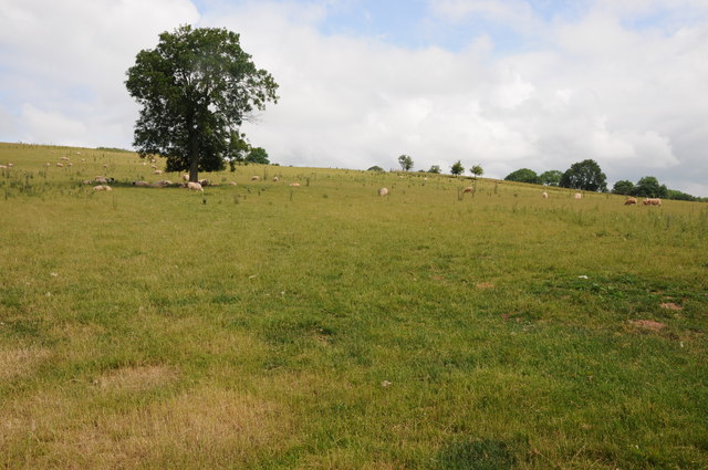
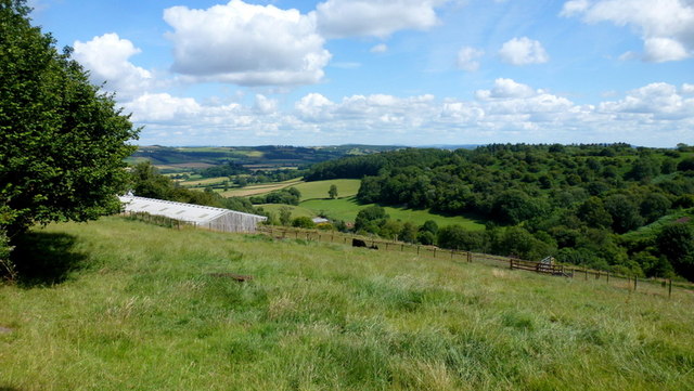
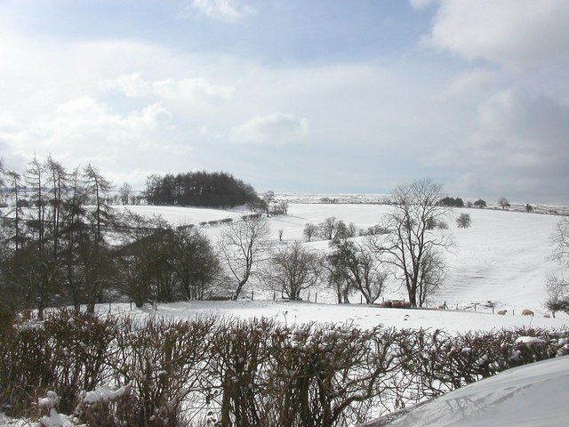
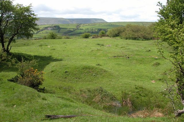
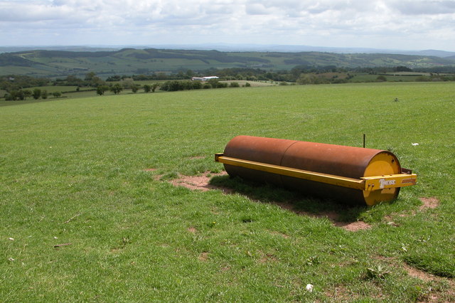
Bonnylands is a picturesque hill located in Herefordshire, a county in England. Situated amidst the stunning countryside, this natural wonder is a sight to behold. With an elevation of approximately 400 meters, Bonnylands offers visitors breathtaking panoramic views of the surrounding landscape.
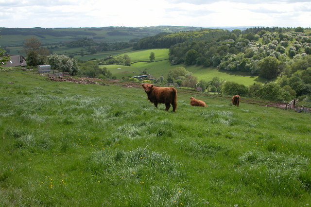
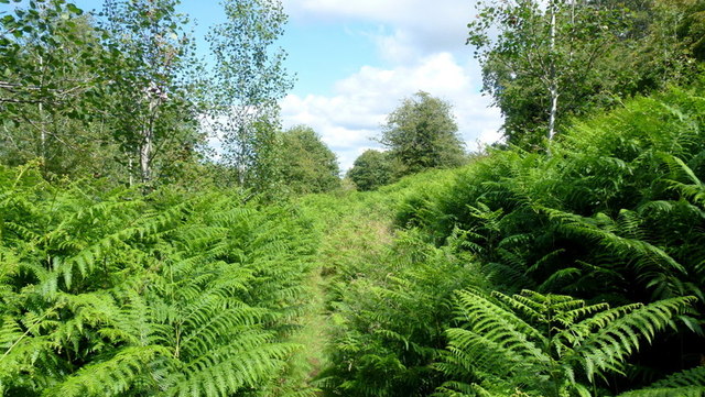
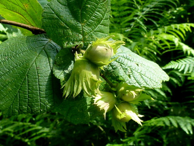
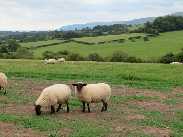
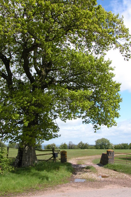
The hill is covered in lush greenery, with a diverse range of flora and fauna. It is home to a variety of plant species, including wildflowers such as bluebells and primroses, as well as oak and beech trees. These vibrant colors create a stunning backdrop against the blue sky.
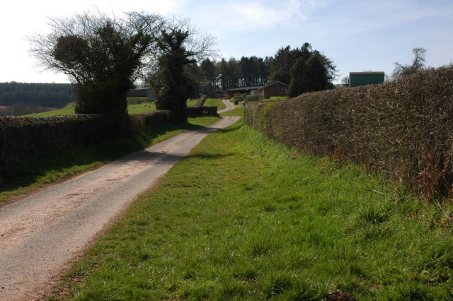
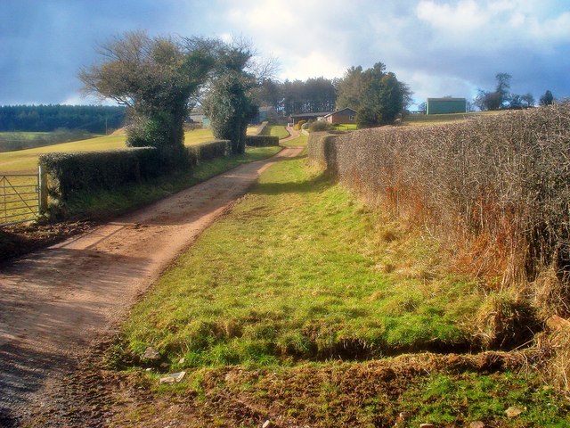
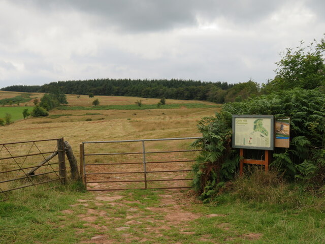
Bonnylands is a popular destination for hikers and nature enthusiasts due to its well-maintained trails. These paths wind their way up the hill, allowing visitors to explore the area at their own pace. The trails offer a mix of gentle slopes and steeper inclines, catering to both novice and experienced hikers.
One of the highlights of Bonnylands is its breathtaking summit, from where one can enjoy panoramic views of the Herefordshire countryside. On a clear day, visitors can see rolling hills, meandering rivers, and charming villages in the distance.
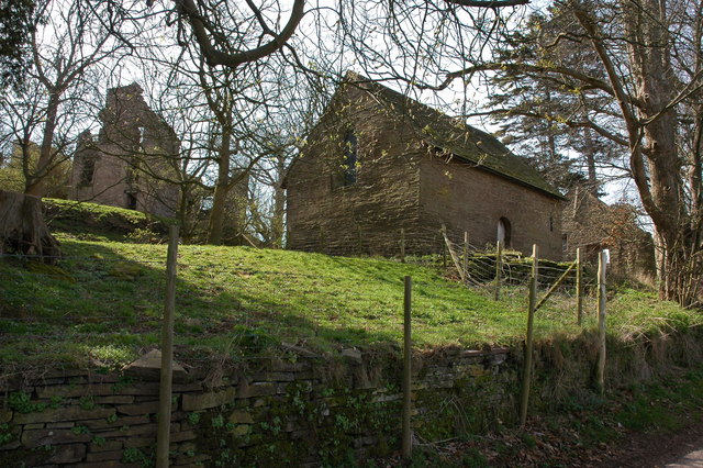
In addition to its natural beauty, Bonnylands also boasts a rich history. The hill has been a site of human activity for centuries, with archaeological evidence suggesting ancient settlements in the area. This historical significance adds an extra layer of intrigue to the hill, making it a fascinating destination for history enthusiasts.
Overall, Bonnylands in Herefordshire is a haven of natural beauty and historical significance. Whether you are looking to immerse yourself in nature or explore the region's past, this hill offers an unforgettable experience.
If you have any feedback on the listing, please let us know in the comments section below.
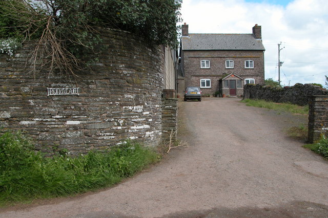
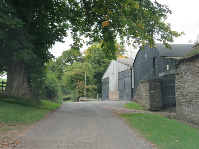
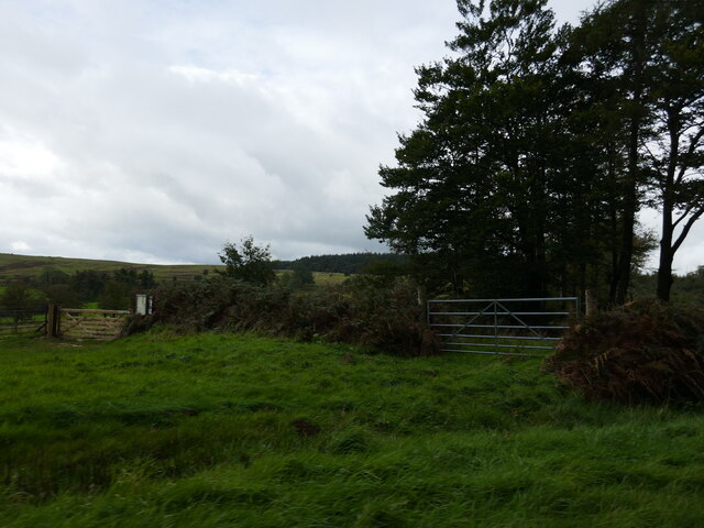
Bonnylands Images
Images are sourced within 2km of 52.050598/-3.0400096 or Grid Reference SO2839. Thanks to Geograph Open Source API. All images are credited.
Bonnylands is located at Grid Ref: SO2839 (Lat: 52.050598, Lng: -3.0400096)
Unitary Authority: County of Herefordshire
Police Authority: West Mercia
Also known as: Vagar Hill
What 3 Words
///firm.fond.annoys. Near Dorstone, Herefordshire
Nearby Locations
Related Wikis

Craswall Priory
Craswall Priory was a Grandmontine priory in Herefordshire, England at grid reference SO27253770 dating from 1220 to 1225. The poor condition of the ruins...

Dorstone Castle
Dorstone Castle was in the village of Dorstone in Herefordshire, England, located 6 miles to the east of Hay-on-Wye. == Motte and bailey == This was a...

Dorstone
Dorstone is a village within the Golden Valley, Herefordshire, England. There is a church and public house with restaurant. The Golden Valley area offers...

Snodhill Castle
Snodhill Castle is a ruined motte-and-bailey castle, about 1 mi (1.6 km) south of the village of Dorstone in west Herefordshire, England. It is recognized...

Dorstone railway station
Dorstone railway station was a station in Dorstone, Herefordshire, England. The station was opened in 1881, closed to passengers in 1941 and closed completely...
Westbrook railway station (England)
Westbrook railway station was a station to the northwest of Dorstone, Herefordshire, England. The station was opened in 1881, closed to passengers in 1941...
Urishay Castle Chapel
Urishay Castle Chapel is a redundant chapel to the north of Urishay Castle, some 2.5 kilometres (2 mi) west of the village of Peterchurch in Herefordshire...

Urishay Castle
Urishay constitutes the remains of a castle, 16th century chapel and 17th century house located about 2.5 km west of Peterchurch in Herefordshire, England...
Nearby Amenities
Located within 500m of 52.050598,-3.0400096Have you been to Bonnylands?
Leave your review of Bonnylands below (or comments, questions and feedback).