Black Star
Hill, Mountain in Cumberland Allerdale
England
Black Star

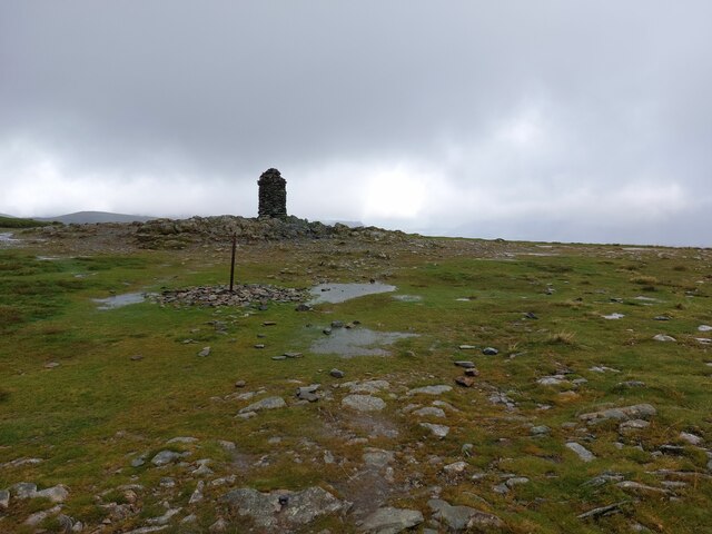
Black Star Mountain, also known as Black Star Hill or Black Star Cumberland, is a prominent geographical feature located in the Cumberland region of Nova Scotia, Canada. Standing at an elevation of 243 meters (797 feet), it is one of the tallest hills in the region, offering breathtaking panoramic views of the surrounding landscape.
Situated within the Cumberland County near the town of Springhill, Black Star Mountain is a popular destination for outdoor enthusiasts and hikers. The mountain is covered with dense forests, predominantly consisting of mixed hardwoods and coniferous trees, creating a picturesque setting for nature lovers.
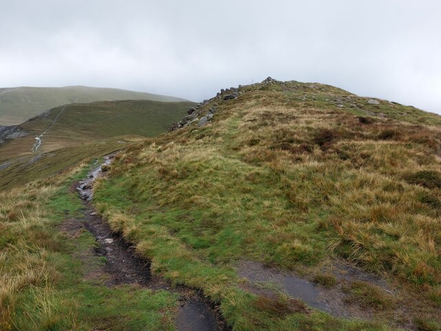
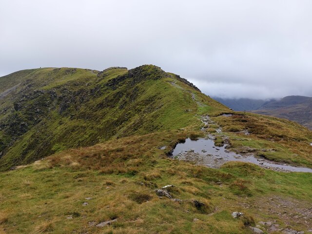
The hiking trails on Black Star Mountain cater to various skill levels, providing options for both beginners and experienced hikers. Visitors can embark on a challenging trek to the summit, which rewards them with stunning views of the surrounding valleys and hills. The trails are well-maintained, making it easy for hikers to navigate through the rugged terrain.
Aside from its natural beauty, Black Star Mountain is also of historical significance. It played a significant role in the coal mining industry that once thrived in the region. Traces of the mining operations can still be seen near the base of the mountain, adding an interesting historical element to the area.
Whether it's for hiking, photography, or simply enjoying the tranquility of nature, Black Star Mountain offers a wonderful outdoor experience for visitors of all ages. Its majestic presence and captivating views make it a must-visit destination for anyone exploring the Cumberland region of Nova Scotia.
If you have any feedback on the listing, please let us know in the comments section below.
Black Star Images
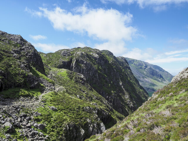
Images are sourced within 2km of 54.516585/-3.218044 or Grid Reference NY2114. Thanks to Geograph Open Source API. All images are credited.


Black Star is located at Grid Ref: NY2114 (Lat: 54.516585, Lng: -3.218044)
Administrative County: Cumbria
District: Allerdale
Police Authority: Cumbria
Also known as: Honister Crag
What 3 Words
///horns.awkward.trending. Near Keswick, Cumbria
Nearby Locations
Related Wikis

Honister Crag
Honister Crag is a fell in the English Lake District. It has a height of 634 metres. It is adjacent to Fleetwith Pike, a higher summit, but it can claim...
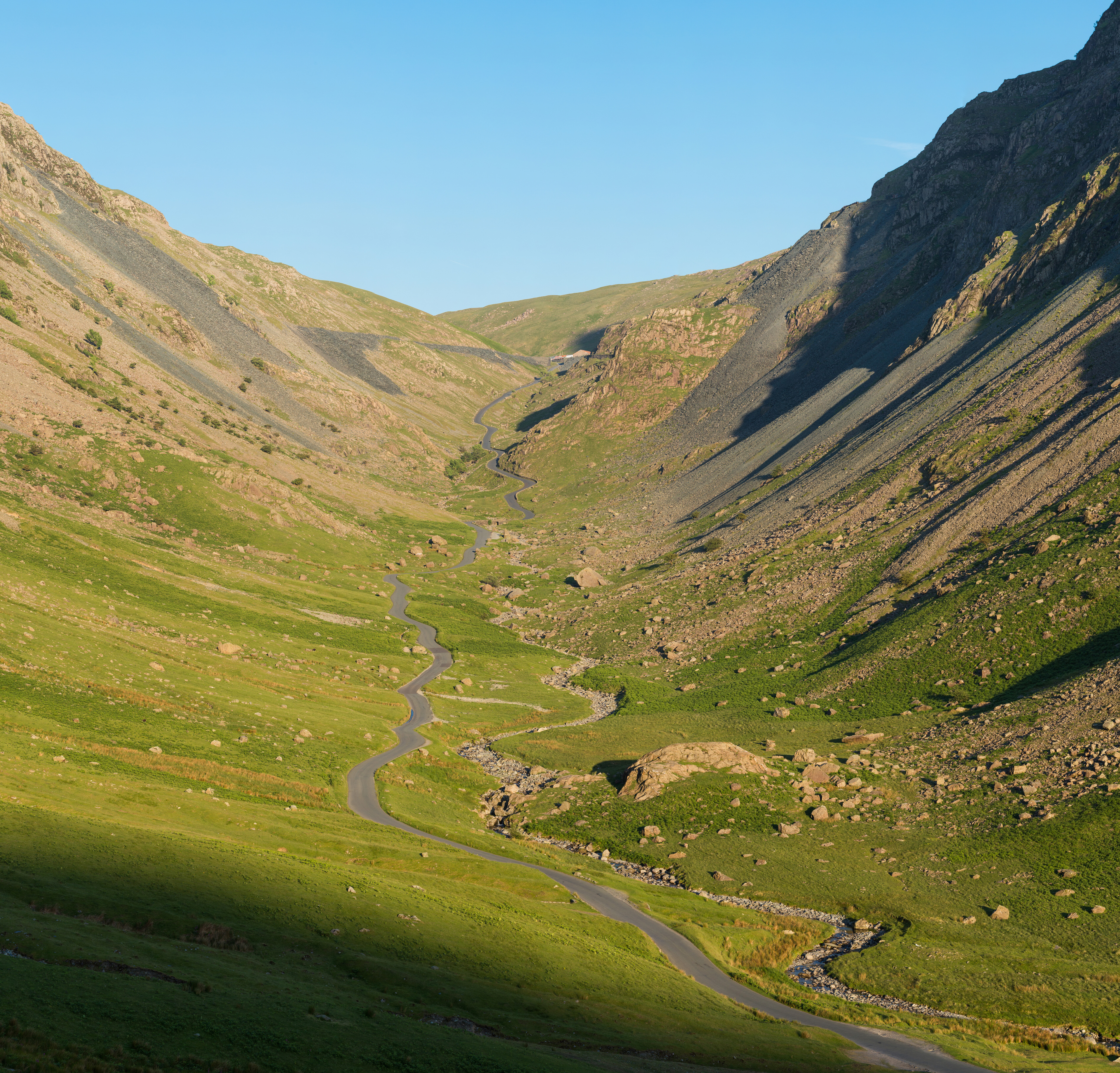
Honister Pass
Honister Pass is a mountain pass in the Lake District in Cumbria, England. It is located on the B5289 road, linking Seatoller, in the valley of Borrowdale...

Fleetwith Pike
Fleetwith Pike is a fell in the English Lake District in the county of Cumbria which reaches a height of 648 metres (2,126 feet). The fell is a well-known...

Dale Head
Dale Head is a fell in the north-western sector of the Lake District, in northern England. It is 753 metres or 2,470 foot above sea level and stands immediately...
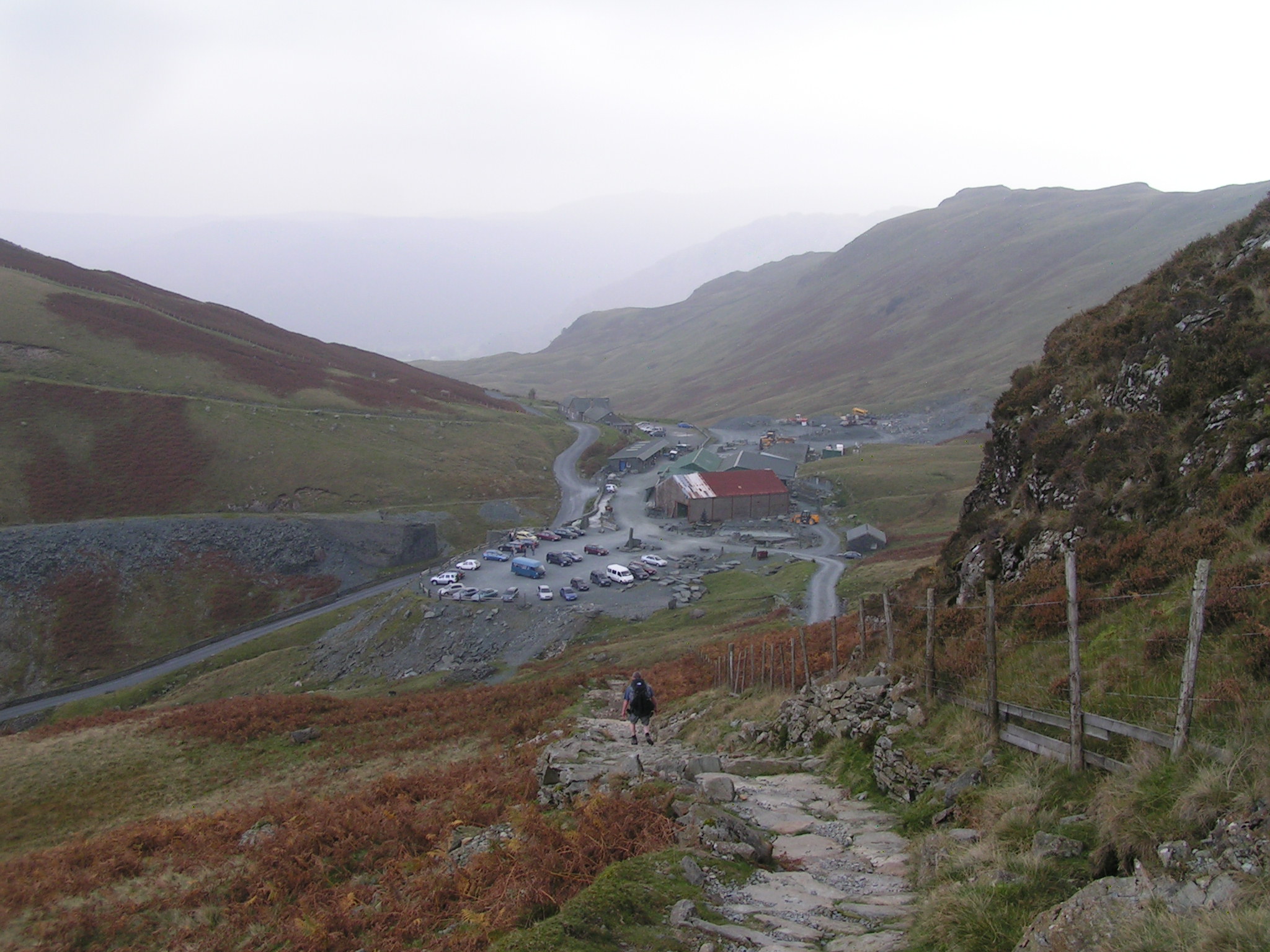
Honister Slate Mine
The Honister Slate Mine in Cumbria is the last working slate mine in England. Quarrying for Westmorland green slate has been taking place in the area since...

Grey Knotts
Grey Knotts is a fell in the English Lake District. It is situated one kilometre (2⁄3 mile) south of the B5289 road as it crosses the Honister Pass. It...

Blackbeck Tarn
Blackbeck Tarn is a small tarn in Cumbria, England, situated near the summit of Haystacks in the Buttermere Valley. At an elevation of 486 m (1,594 ft...

Innominate Tarn
Innominate Tarn is a small tarn in the north of the Lake District National Park in England. It is situated at 520 metres above sea level, near the summit...
Nearby Amenities
Located within 500m of 54.516585,-3.218044Have you been to Black Star?
Leave your review of Black Star below (or comments, questions and feedback).