Garlick Hill

Hill, Mountain in Kirkcudbrightshire

Scotland

Garlick Hill

Forest road behind Nappers cottage - looking over Wigtown Bay
Forest road behind Nappers cottage - looking over Wigtown Bay Credit: Mark McKie

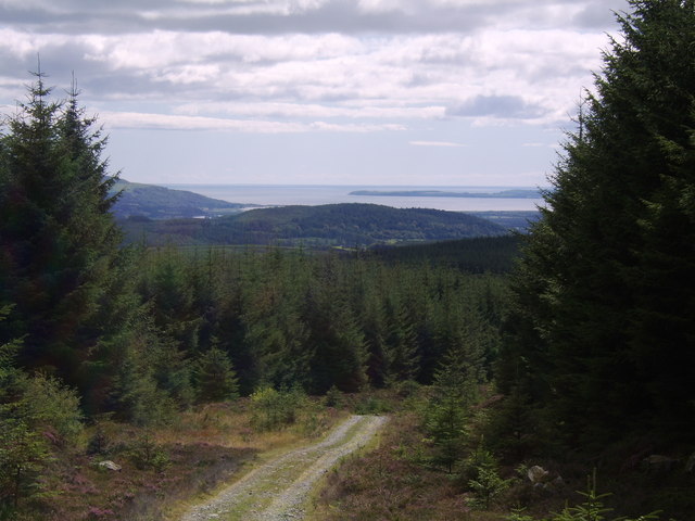
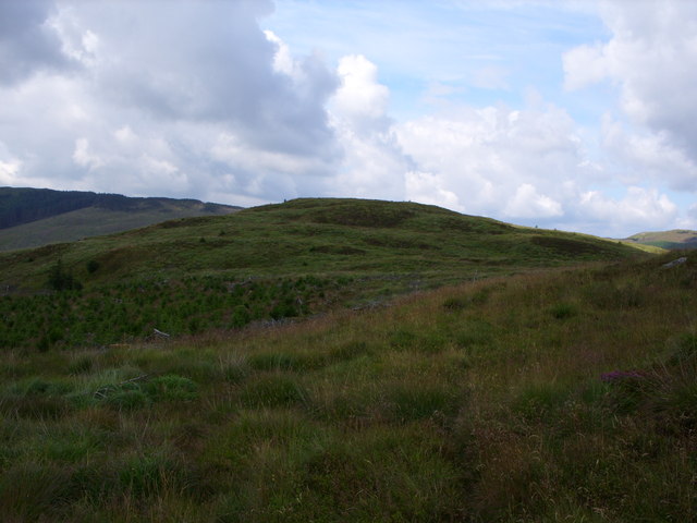
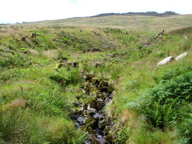
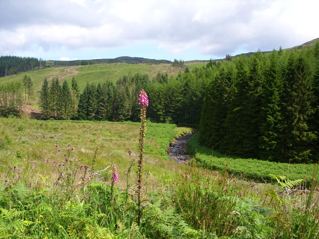
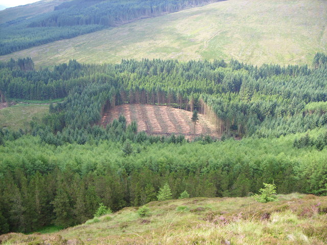
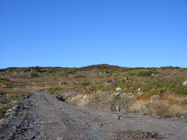
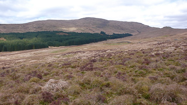
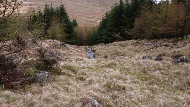
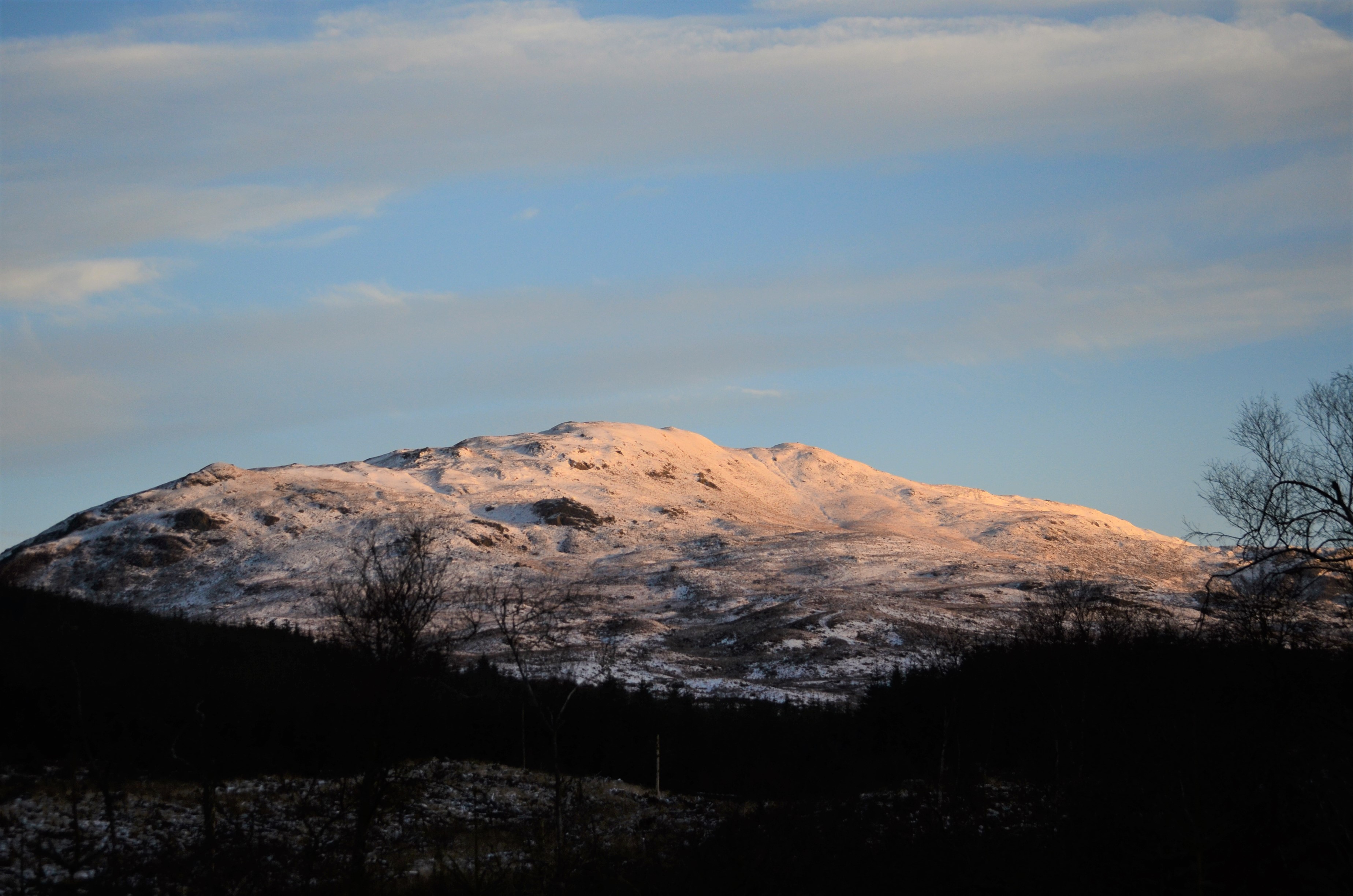
Garlick Hill is a prominent hill located in Kirkcudbrightshire, Scotland. It rises to an elevation of approximately 150 meters above sea level and offers stunning panoramic views of the surrounding countryside. The hill is characterized by its gentle slopes and lush greenery, making it a popular destination for hikers and nature enthusiasts.

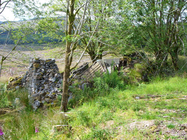
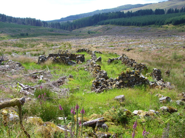
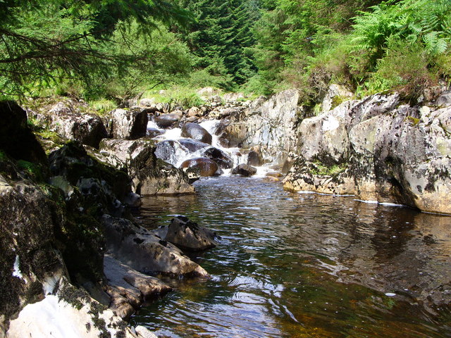
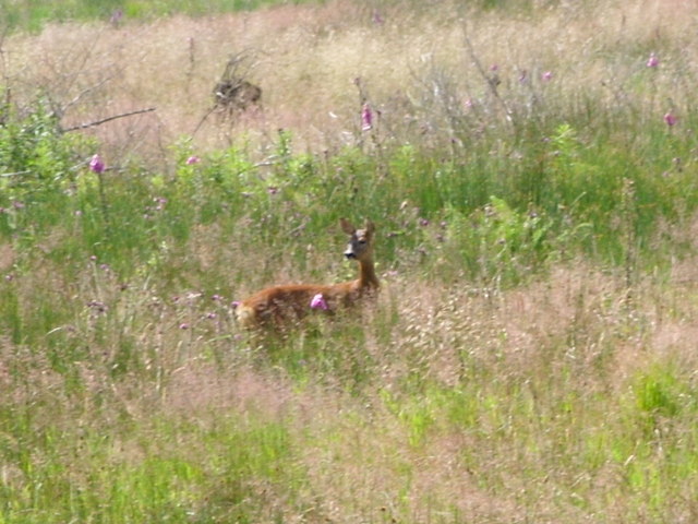
Garlick Hill is home to a variety of plant and animal species, including heather, bracken, and various bird species. The hill is also known for its historic significance, with ancient ruins and stone circles dating back to prehistoric times scattered throughout the area.

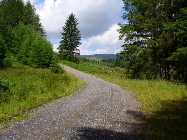
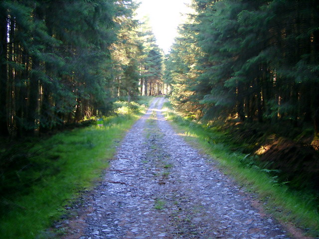
Visitors to Garlick Hill can enjoy a leisurely hike to the summit, where they can take in breathtaking views of the surrounding landscape, including the Solway Firth and the Galloway Hills. The hill is easily accessible by foot and is a great spot for picnicking, birdwatching, or simply enjoying the tranquility of nature.

Overall, Garlick Hill is a picturesque and peaceful destination that offers a glimpse into the natural beauty and history of Kirkcudbrightshire.

If you have any feedback on the listing, please let us know in the comments section below.
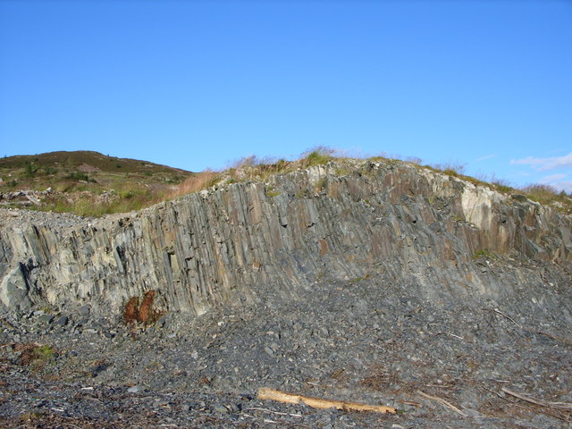
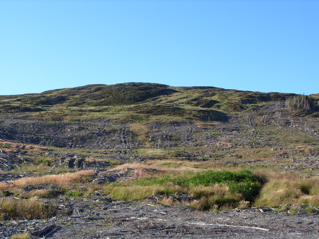
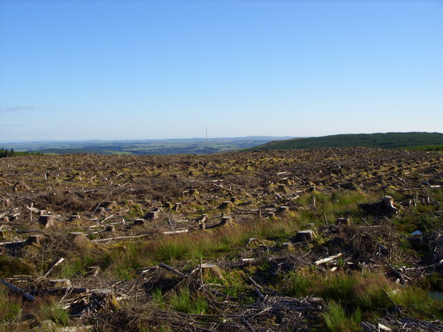
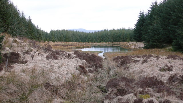
Garlick Hill Images

Images are sourced within 2km of 55.025958/-4.455274 or Grid Reference NX4372. Thanks to Geograph Open Source API. All images are credited.

Forest road behind Nappers cottage - looking over Wigtown Bay
Crammery Hill
Crammery Hill
Lamachan Cottage A wee bit of work needed here.
Lamachan Cottage
A wee bit of work needed here.
Lamachan Cottage
Lamachan Cottage
The Benroach Burn
The Benroach Burn
The Penkiln Burn
The Penkiln Burn
Forest road
Forest road
Waterfall on the Penkiln Burn
Forestry clear fell The view from Crammery Hill
Forestry clear fell
The view from Crammery Hill
Roe Deer
Roe Deer
Forest Road
Forest Road
Unmapped Forest Road This whole area has been clear felled.
Unmapped Forest Road
This whole area has been clear felled.
Forestry Quarry You can just see Benera in the background.
Forestry Quarry
You can just see Benera in the background.
Garlick Hill.
Garlick Hill.
Forest clear fell Hopefully this will be replanted.
Forest clear fell
Hopefully this will be replanted.
Pool and burn amongst spruce trees, Galloway Forest This small pool and clearing is adjacent to a forest track leading eventually to Drannandow Farm, 4 miles north of Newton Stewart. The distant hill above the treeline to the south east is Cairnsmore of Fleet which, at over 2000 feet,  dominates the horizon.
Pool and burn amongst spruce trees, Galloway Forest
This small pool and clearing is adjacent to a forest track leading eventually to Drannandow Farm, 4 miles north of Newton Stewart. The distant hill above the treeline to the south east is Cairnsmore of Fleet which, at over 2000 feet, dominates the horizon.
Moorland west of Benailsa, Galloway On the horizon, is Larg Hill and, to the right, the small hump of Sheauchan Craig. To the left (unseen) beyond the green wedge of forestry lies Loch Middle. Larg Hill dominates the area at over 2000 feet and is a favourite with more adventurous walkers who ascend it en route for the hills around Loch Trool. It can also be reached via Loch Middle by following the forestry roads. The stretch of tussocky moorland in the photograph is crossed by a number of streams and becomes very boggy in wet weather.
Moorland west of Benailsa, Galloway
On the horizon, is Larg Hill and, to the right, the small hump of Sheauchan Craig. To the left (unseen) beyond the green wedge of forestry lies Loch Middle. Larg Hill dominates the area at over 2000 feet and is a favourite with more adventurous walkers who ascend it en route for the hills around Loch Trool. It can also be reached via Loch Middle by following the forestry roads. The stretch of tussocky moorland in the photograph is crossed by a number of streams and becomes very boggy in wet weather.
Pinglass Burn at foot of Punch Well Brae, Galloway Hills The burn runs steeply down the hillside in a southerly direction and through a narrow wedge of forestry at the foot of the brae. It provide an access route through the trees for walkers ascending to the summit of adjacent Larg Hill (676 metres).
Pinglass Burn at foot of Punch Well Brae, Galloway Hills
The burn runs steeply down the hillside in a southerly direction and through a narrow wedge of forestry at the foot of the brae. It provide an access route through the trees for walkers ascending to the summit of adjacent Larg Hill (676 metres).
Show me another place!

Garlick Hill is located at Grid Ref: NX4372 (Lat: 55.025958, Lng: -4.455274)

Unitary Authority: Dumfries and Galloway

Police Authority: Dumfries and Galloway

Also known as: 445m

What 3 Words

///bonus.regularly.woke. Near Newton Stewart, Dumfries & Galloway

Nearby Locations

445m Benera Garlick Hill

Related Wikis

Hespies Linn

Hespies Linn is a waterfall of Scotland. == See also == Waterfalls of Scotland == References ==

Lamachan Hill

Lamachan Hill is a hill in the Minnigaff Hills, a sub-range of the Galloway Hills range, part of the Southern Uplands of Scotland. It is the highest hill...

Wood of Cree

Wood of Cree is a nature reserve in Dumfries and Galloway, Scotland. Located approximately 4 miles (6.4 km) north north-west of Newton Stewart, it is managed...

Millfore

Millfore is a hill in the Minnigaff Hills, a sub-range of the Galloway Hills range, part of the Southern Uplands of Scotland. It lies northeast of Newton...

Have you been to Garlick Hill?

Leave your review of Garlick Hill below (or comments, questions and feedback).