Buck Hill

Hill, Mountain in Suffolk East Suffolk

England

Buck Hill

Church of St Margaret, Stoven <span class="nowrap"><a title="https://historicengland.org.uk/listing/the-list/list-entry/1032100?section=official-list-entry" rel="nofollow ugc noopener" href="https://historicengland.org.uk/listing/the-list/list-entry/1032100?section=official-list-entry">Link</a><img style="margin-left:2px;" alt="External link" title="External link - shift click to open in new window" src="https://s1.geograph.org.uk/img/external.png" width="10" height="10"/></span>
Church of St Margaret, Stoven Credit: Sandy Gerrard

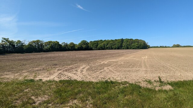
Buck Hill is a prominent geographical feature located in Suffolk, England. Classified as a hill rather than a mountain due to its relatively lower elevation, it is still a noteworthy landmark in the region. Rising to an approximate height of 94 meters (308 feet) above sea level, Buck Hill offers picturesque views of the surrounding countryside.

Situated near the town of Ipswich, Buck Hill is within the Suffolk Coast and Heaths Area of Outstanding Natural Beauty, adding to its appeal for nature enthusiasts and hikers. The hill is characterized by its gently sloping sides, covered in lush greenery, and is often frequented by locals and visitors seeking outdoor activities.

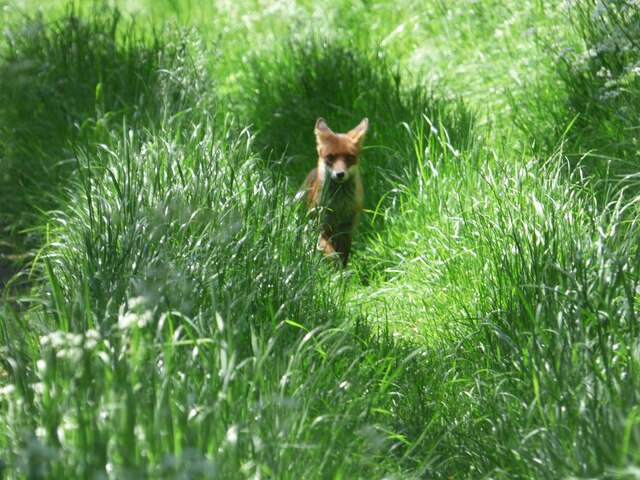
Buck Hill boasts a diverse ecosystem, with a variety of flora and fauna thriving in its vicinity. The hill's vegetation is predominantly comprised of grasses, heathers, and shrubs, providing a habitat for various species of birds, insects, and small mammals. Additionally, the hill is home to a range of wildflowers, adding vibrant colors to the landscape during the warmer months.

Although the hill does not offer any marked trails or facilities, it is easily accessible for those looking to explore its natural beauty. Visitors can enjoy leisurely walks or more challenging hikes, taking advantage of the hill's peaceful surroundings. Buck Hill is also a popular spot for photography enthusiasts, who can capture stunning panoramic views from its summit.

Overall, Buck Hill in Suffolk is a captivating natural landmark, attracting both locals and tourists with its scenic beauty and opportunities for outdoor recreation.

If you have any feedback on the listing, please let us know in the comments section below.
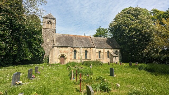
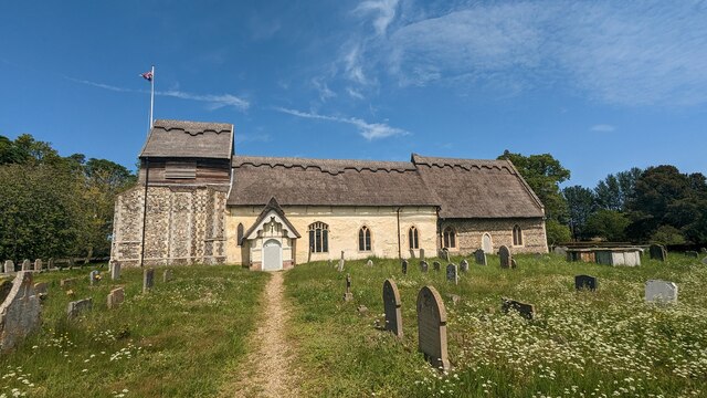
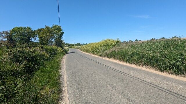
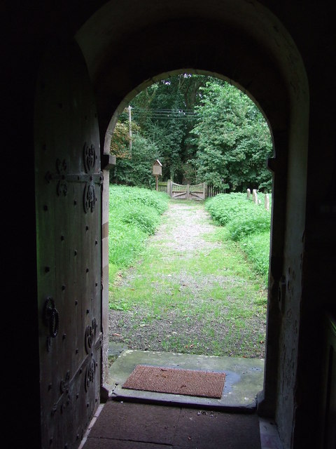
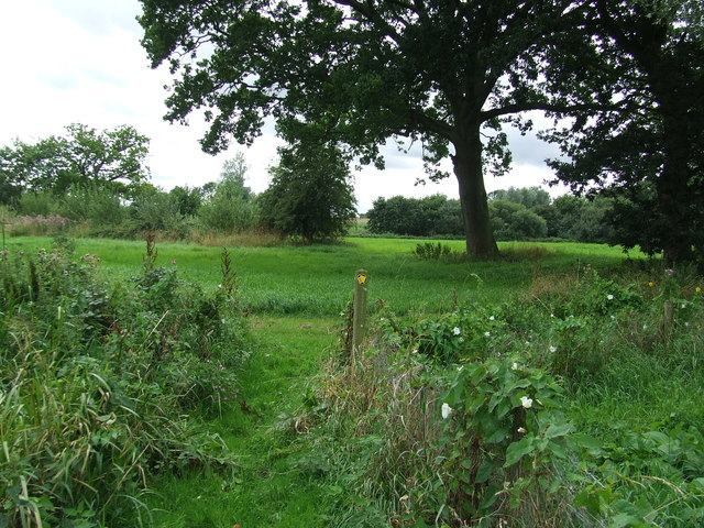
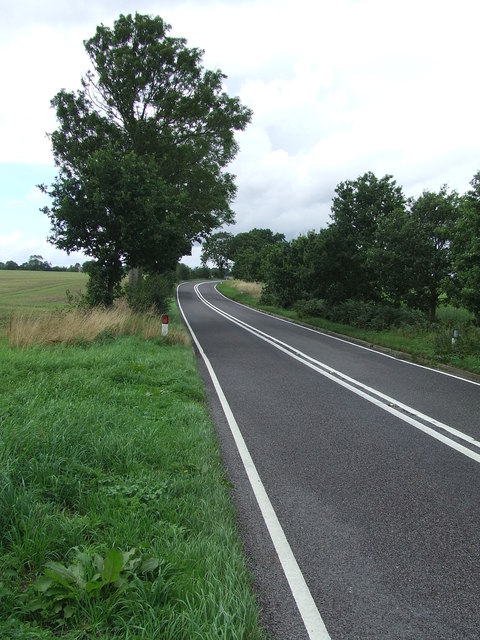
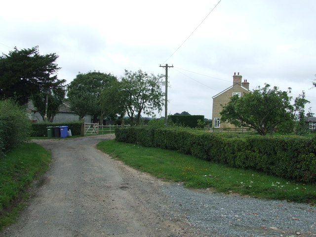
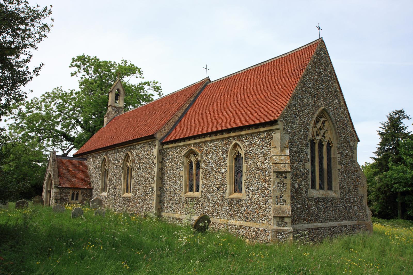
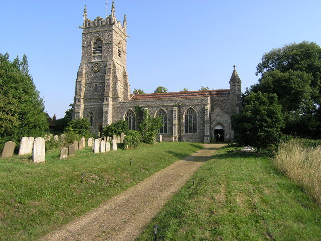
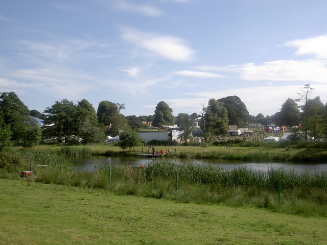
Buck Hill Images

Images are sourced within 2km of 52.361923/1.601951 or Grid Reference TM4579. Thanks to Geograph Open Source API. All images are credited.

Church of St Margaret, Stoven <span class="nowrap"><a title="https://historicengland.org.uk/listing/the-list/list-entry/1032100?section=official-list-entry" rel="nofollow ugc noopener" href="https://historicengland.org.uk/listing/the-list/list-entry/1032100?section=official-list-entry">Link</a><img style="margin-left:2px;" alt="External link" title="External link - shift click to open in new window" src="https://s1.geograph.org.uk/img/external.png" width="10" height="10"/></span>
Church of St Margaret, Stoven
Church of St. Mary, Uggeshall <span class="nowrap"><a title="https://historicengland.org.uk/listing/the-list/list-entry/1284129?section=official-list-entry" rel="nofollow ugc noopener" href="https://historicengland.org.uk/listing/the-list/list-entry/1284129?section=official-list-entry">Link</a><img style="margin-left:2px;" alt="External link" title="External link - shift click to open in new window" src="https://s1.geograph.org.uk/img/external.png" width="10" height="10"/></span>
Church of St. Mary, Uggeshall
Fox at Block's Lane, Stoven
Road from Wangford to Uggeshall
Blomfield Wood
Blomfield Wood
Serpentine wall at Henham Park This is the westernmost wall of the four walls which form the boundary of the Henham Hall walled garden, its length, extending to 120 yards or 110 metres. There is one segmental-arched doorway built into the southern half of the wall. The other three walls are of the normal variety each having wide access gates and enclose a total of about three and one third acres.
Built in the late 18th and early 19th century of red brick with brick copings, and amounting to about 3.5m. high. It is listed as a grade II building. 
My grateful thanks to Hektor Rous for allowing me access.
Serpentine wall at Henham Park
This is the westernmost wall of the four walls which form the boundary of the Henham Hall walled garden, its length, extending to 120 yards or 110 metres. There is one segmental-arched doorway built into the southern half of the wall. The other three walls are of the normal variety each having wide access gates and enclose a total of about three and one third acres. Built in the late 18th and early 19th century of red brick with brick copings, and amounting to about 3.5m. high. It is listed as a grade II building. My grateful thanks to Hektor Rous for allowing me access.
A short length of serpentine wall on Henham Park The wall is close to, but not part of the 120 yards or 110 metre length of garden wall. <a href="https://www.geograph.org.uk/photo/7472571">TM4478 : Serpentine wall at Henham Park</a>
A short length of serpentine wall on Henham Park
The wall is close to, but not part of the 120 yards or 110 metre length of garden wall. TM4478 : Serpentine wall at Henham Park
Alms houses at Wangford A plaque between the central windows reads thus: "These almshouses were built by George, 3rd Earl of Stradbroke and Helena his wife in memory of their son Christopher Simon Rous who died in Melbourne, Australia after long suffering bourne with heroic patience and cheerfulness."
The plaque can be seen here  <a href="https://www.geograph.org.uk/photo/7473017">TM4679 : Plaque on the almshouses at Wangford</a>
Alms houses at Wangford
A plaque between the central windows reads thus: "These almshouses were built by George, 3rd Earl of Stradbroke and Helena his wife in memory of their son Christopher Simon Rous who died in Melbourne, Australia after long suffering bourne with heroic patience and cheerfulness." The plaque can be seen here TM4679 : Plaque on the almshouses at Wangford
Plaque on the almshouses at Wangford The plaque between the central windows reads thus: "These almshouses were built by George, 3rd Earl of Stradbroke and Helena his wife in memory of their son Christopher Simon Rous who died in Melbourne, Australia after long suffering bourne with heroic patience and cheerfulness."  <a href="https://www.geograph.org.uk/photo/7473012">TM4679 : Alms houses at Wangford</a>
Plaque on the almshouses at Wangford
The plaque between the central windows reads thus: "These almshouses were built by George, 3rd Earl of Stradbroke and Helena his wife in memory of their son Christopher Simon Rous who died in Melbourne, Australia after long suffering bourne with heroic patience and cheerfulness." TM4679 : Alms houses at Wangford
Serpentine wall at Parson's Meadow, Wangford A serpentine or crinkle-crankle wall was initially designed to save bricks and reduce to cost of building walls. Suffolk seems to be the historical birthplace of the metamorphic remodelling of the straightforward into the curiously peculiar.
A wavy wall can be built with the thickness of a single brick and is self supporting even in very strong winds whereas a straight wall requires a thickness of at least two bricks (9 inches) and even buttresses if raised over about three feet.

Wikipedia has a few words to add: A crinkle crankle wall, also known as a crinkum crankum, slangenmuur  (snake-wall) sinusoidal, serpentine, ribbon or wavy wall, is an unusual type of structural or garden wall built in a serpentine shape with alternating curves, originally used in Ancient Egypt, but also typically found in Suffolk in England.
The alternate convex and concave curves in the wall provide stability and help it to resist lateral forces,  leading to greater strength than a straight wall of the same thickness of bricks without the need for buttresses.
The phrase "crinkle crankle" is an ablaut reduplication, defined as something with bends and turns, first attested in 1598 (though "crinkle" and "crankle" have somewhat longer histories).
Serpentine wall at Parson's Meadow, Wangford
A serpentine or crinkle-crankle wall was initially designed to save bricks and reduce to cost of building walls. Suffolk seems to be the historical birthplace of the metamorphic remodelling of the straightforward into the curiously peculiar. A wavy wall can be built with the thickness of a single brick and is self supporting even in very strong winds whereas a straight wall requires a thickness of at least two bricks (9 inches) and even buttresses if raised over about three feet. Wikipedia has a few words to add: A crinkle crankle wall, also known as a crinkum crankum, slangenmuur (snake-wall) sinusoidal, serpentine, ribbon or wavy wall, is an unusual type of structural or garden wall built in a serpentine shape with alternating curves, originally used in Ancient Egypt, but also typically found in Suffolk in England. The alternate convex and concave curves in the wall provide stability and help it to resist lateral forces, leading to greater strength than a straight wall of the same thickness of bricks without the need for buttresses. The phrase "crinkle crankle" is an ablaut reduplication, defined as something with bends and turns, first attested in 1598 (though "crinkle" and "crankle" have somewhat longer histories).
Old Post Office at Wangford <span class="nowrap"><a title="https://historicengland.org.uk/listing/the-list/list-entry/1182410?section=official-list-entry" rel="nofollow ugc noopener" href="https://historicengland.org.uk/listing/the-list/list-entry/1182410?section=official-list-entry">Link</a><img style="margin-left:2px;" alt="External link" title="External link - shift click to open in new window" src="https://s1.geograph.org.uk/img/external.png" width="10" height="10"/></span>
Old Post Office at Wangford
Maltings at Elms Farm <span class="nowrap"><a title="https://historicengland.org.uk/listing/the-list/list-entry/1352534?section=official-list-entry" rel="nofollow ugc noopener" href="https://historicengland.org.uk/listing/the-list/list-entry/1352534?section=official-list-entry">Link</a><img style="margin-left:2px;" alt="External link" title="External link - shift click to open in new window" src="https://s1.geograph.org.uk/img/external.png" width="10" height="10"/></span>
Maltings at Elms Farm
St Margaret Stoven The church and church notice board of St Margaret, Stoven, Suffolk for info on the church see <span class="nowrap"><a title="http://www.suffolkchurches.co.uk/stoven.htm" rel="nofollow ugc noopener" href="http://www.suffolkchurches.co.uk/stoven.htm">Link</a><img style="margin-left:2px;" alt="External link" title="External link - shift click to open in new window" src="https://s1.geograph.org.uk/img/external.png" width="10" height="10"/></span>
St Margaret Stoven
The church and church notice board of St Margaret, Stoven, Suffolk for info on the church see LinkExternal link
War Memorial War memorial and roll of honour for the village of Stoven, Suffolk in the village church of St Margaret.
War Memorial
War memorial and roll of honour for the village of Stoven, Suffolk in the village church of St Margaret.
View from the door View from the door of St Margaret, Stoven, Suffolk.
View from the door
View from the door of St Margaret, Stoven, Suffolk.
Turn Right Footpath sign guiding you to the right as seen near to Stoven, Suffolk.
Turn Right
Footpath sign guiding you to the right as seen near to Stoven, Suffolk.
The A145 Looking north along the A145 near to Stoven, Suffolk.
The A145
Looking north along the A145 near to Stoven, Suffolk.
Brick Kiln Farm Brick Kiln Farm near to Clay Common, Suffolk.
Brick Kiln Farm
Brick Kiln Farm near to Clay Common, Suffolk.
Show me another place!

Buck Hill is located at Grid Ref: TM4579 (Lat: 52.361923, Lng: 1.601951)

Administrative County: Suffolk

District: East Suffolk

Police Authority: Suffolk

What 3 Words

///regrowth.fixtures.credited. Near Southwold, Suffolk

Related Wikis

Uggeshall

Uggeshall is a village and civil parish in the East Suffolk district, in the county of Suffolk, England, located approximately 6 miles (10 km) south of...

Sotherton

Sotherton is a dispersed village and civil parish in the East Suffolk district, in the English county of Suffolk. It is located approximately 7 miles...

Wangford with Henham

Wangford with Henham is a civil parish in the East Suffolk district of the English county of Suffolk. It is around 5.5 miles (8.9 km) east of Halesworth...

Henham, Suffolk

Henham is a former civil parish now in the parish of Wangford with Henham, in the East Suffolk district, in the county of Suffolk, England. In 1961 the...

Wangford Priory

The Cluniac Priory of Wangford was a small religious house in Wangford in the English county of Suffolk. It was founded before 1159 as a dependency of...

Wangford

Wangford is a village and former civil parish, now in the parish of Wangford with Henham, in the East Suffolk district, in the county of Suffolk, England...

Stoven

Stoven is a village and former civil parish now in the parish of Brampton with Stoven, in the East Suffolk district of the English county of Suffolk. It...

Grand Henham Steam Rally

The Grand Henham Steam Rally is a steam rally held every September at Henham Park near Southwold. It features displays of fixed and mobile steam engines...

Nearby Amenities

Located within 500m of 52.361923,1.601951
Uggeshall
Place: village
Wikidata: Q2963189
Lat/Long: 52.3645718/1.5968051
Noexit: yes
Lat/Long: 52.3628244/1.6018128
Note: Gate or stile here??
Lat/Long: 52.3648076/1.5981128
The data included in this document is from www.openstreetmap.org. The data is made available under ODbL.

Have you been to Buck Hill?

Leave your review of Buck Hill below (or comments, questions and feedback).