Braker Hill
Hill, Mountain in Suffolk East Suffolk
England
Braker Hill

Braker Hill is a prominent geographical feature located in the county of Suffolk, in East Anglia, England. As its name suggests, it is classified as a hill, but it should be noted that its elevation is relatively modest compared to other peaks in the region. Standing at approximately 120 meters (394 feet) above sea level, Braker Hill offers captivating panoramic views of the surrounding countryside.
This hill is situated near the village of Braker, which lies about 5 miles southwest of the bustling town of Ipswich. The landscape surrounding Braker Hill is characterized by gentle slopes, rolling farmland, and scattered woodlands, making it an idyllic location for nature enthusiasts and hikers alike.
The summit of Braker Hill is accessible via well-maintained footpaths, ensuring visitors can reach the top with ease. Once there, they are rewarded with breathtaking vistas of the Suffolk countryside, including the picturesque River Orwell meandering through the valley below.
The hill is home to a diverse range of flora and fauna, making it an appealing destination for wildlife enthusiasts. Various species of birds, including kestrels and buzzards, can often be spotted soaring above, while rabbits and deer can be seen grazing in the fields.
Braker Hill is a site of historical significance as well. It is believed to have been inhabited by humans since ancient times, and archaeological excavations have yielded pottery and other artifacts from the Iron Age and Roman periods.
In conclusion, Braker Hill in Suffolk offers a delightful blend of natural beauty, scenic views, and historical interest, making it a cherished destination for locals and visitors alike.
If you have any feedback on the listing, please let us know in the comments section below.
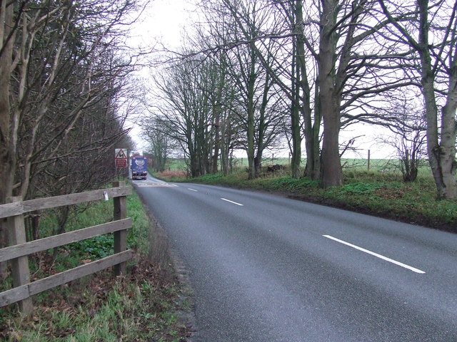
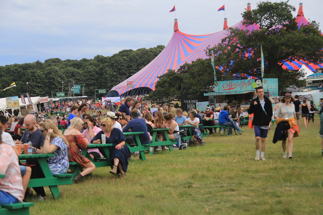
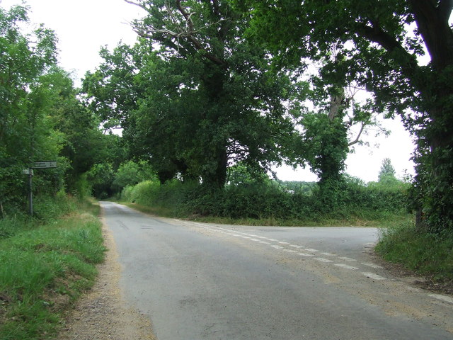
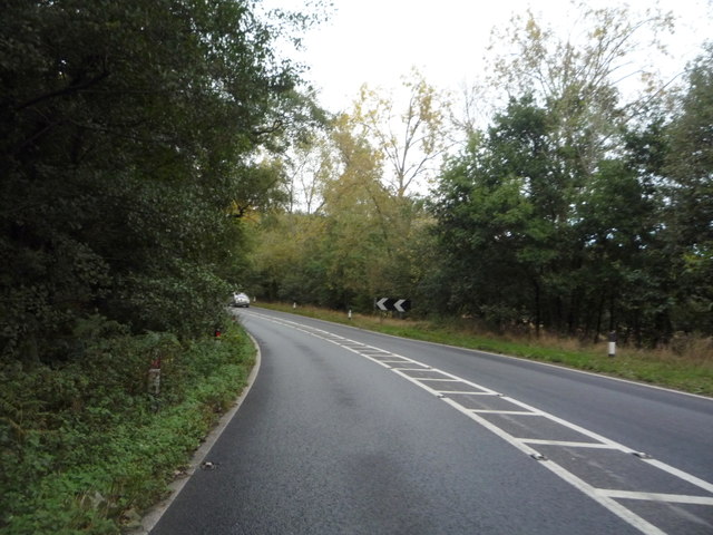
Braker Hill Images
Images are sourced within 2km of 52.341453/1.5891833 or Grid Reference TM4477. Thanks to Geograph Open Source API. All images are credited.


Braker Hill is located at Grid Ref: TM4477 (Lat: 52.341453, Lng: 1.5891833)
Administrative County: Suffolk
District: East Suffolk
Police Authority: Suffolk
What 3 Words
///driftwood.guessing.pixies. Near Halesworth, Suffolk
Nearby Locations
Related Wikis

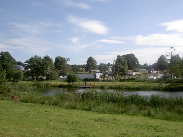
Latitude Festival
Latitude Festival is an annual music and arts festival set within the grounds of Henham Park, near Southwold, Suffolk, England.The first edition of the...
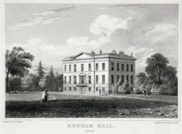
Henham Park
Henham Park is an historic 4,200 acres (1,700 ha) estate in the parish of Wangford with Henham, situated north of the village of Blythburgh in the English...

Grand Henham Steam Rally
The Grand Henham Steam Rally is a steam rally held every September at Henham Park near Southwold. It features displays of fixed and mobile steam engines...
Henham, Suffolk
Henham is a former civil parish now in the parish of Wangford with Henham, in the East Suffolk district, in the county of Suffolk, England. In 1961 the...
Have you been to Braker Hill?
Leave your review of Braker Hill below (or comments, questions and feedback).