Peartree Clump

Wood, Forest in Suffolk East Suffolk

England

Peartree Clump

Serpentine wall at Henham Park This is the westernmost wall of the four walls which form the boundary of the Henham Hall walled garden, its length, extending to 120 yards or 110 metres. There is one segmental-arched doorway built into the southern half of the wall. The other three walls are of the normal variety each having wide access gates and enclose a total of about three and one third acres.
Built in the late 18th and early 19th century of red brick with brick copings, and amounting to about 3.5m. high. It is listed as a grade II building. 
My grateful thanks to Hektor Rous for allowing me access.
Serpentine wall at Henham Park Credit: Adrian S Pye

Peartree Clump is a picturesque woodland located in Suffolk, England. Situated near the village of Peartree, it covers an area of approximately 20 acres and is known for its natural beauty and diverse wildlife.

The woodland consists mainly of broadleaf trees, including oak, beech, and ash, which create a dense canopy overhead. This provides habitat for a variety of bird species, such as woodpeckers, owls, and warblers, making it a popular spot for birdwatching enthusiasts.

Peartree Clump is also home to a range of mammal species, including squirrels, rabbits, and foxes. The woodland's dense undergrowth and fallen logs provide shelter and food for these animals, contributing to the area's rich biodiversity.

The forest floor is carpeted with bluebells in the spring, creating a stunning display of vibrant color. This attracts both locals and visitors who come to enjoy leisurely walks and immerse themselves in the tranquility of the surroundings.

Peartree Clump is managed by the local council, which ensures the preservation of its natural features and protects it from any potential threats. There are well-maintained footpaths and picnic areas for visitors to enjoy, making it an ideal destination for families and nature lovers.

Overall, Peartree Clump is a cherished woodland in Suffolk, offering a peaceful retreat for those seeking to connect with nature and experience the beauty of the English countryside.

If you have any feedback on the listing, please let us know in the comments section below.

Peartree Clump Images

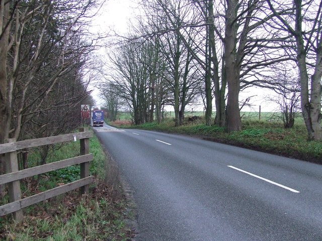
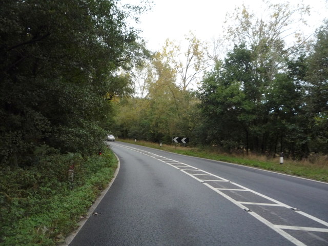
Images are sourced within 2km of 52.344615/1.5937721 or Grid Reference TM4477. Thanks to Geograph Open Source API. All images are credited.

Serpentine wall at Henham Park This is the westernmost wall of the four walls which form the boundary of the Henham Hall walled garden, its length, extending to 120 yards or 110 metres. There is one segmental-arched doorway built into the southern half of the wall. The other three walls are of the normal variety each having wide access gates and enclose a total of about three and one third acres.
Built in the late 18th and early 19th century of red brick with brick copings, and amounting to about 3.5m. high. It is listed as a grade II building. 
My grateful thanks to Hektor Rous for allowing me access.
Serpentine wall at Henham Park
This is the westernmost wall of the four walls which form the boundary of the Henham Hall walled garden, its length, extending to 120 yards or 110 metres. There is one segmental-arched doorway built into the southern half of the wall. The other three walls are of the normal variety each having wide access gates and enclose a total of about three and one third acres. Built in the late 18th and early 19th century of red brick with brick copings, and amounting to about 3.5m. high. It is listed as a grade II building. My grateful thanks to Hektor Rous for allowing me access.
A short length of serpentine wall on Henham Park The wall is close to, but not part of the 120 yards or 110 metre length of garden wall. <a href="https://www.geograph.org.uk/photo/7472571">TM4478 : Serpentine wall at Henham Park</a>
A short length of serpentine wall on Henham Park
The wall is close to, but not part of the 120 yards or 110 metre length of garden wall. TM4478 : Serpentine wall at Henham Park
Track Track near to Reydon, Suffolk.
Track
Track near to Reydon, Suffolk.
Halesworth Road Looking east along Halesworth Road near to Blythburgh, Suffolk.
Halesworth Road
Looking east along Halesworth Road near to Blythburgh, Suffolk.
Footpath and entrance Footpath and entrance near to Blythburgh, Suffolk.
Footpath and entrance
Footpath and entrance near to Blythburgh, Suffolk.
Henham Park lake 'en fete' ... From a temporary footbridge over the lake at Latitude 2016.
Henham Park lake 'en fete' ...
From a temporary footbridge over the lake at Latitude 2016.
Approaching the lake bridge at festival time The continuing success of Latitude seems to have spawned a number of bridges over the lake, this being the major one and appears to be a permanent fixture.
Approaching the lake bridge at festival time
The continuing success of Latitude seems to have spawned a number of bridges over the lake, this being the major one and appears to be a permanent fixture.
Henham Park lake and bridge Latitude subjects the local ovine population to a transfiguration and leaves them in the pink. The normally secluded lakeside banks subjected to heavy foot traffic by humans but after a few days all is quiet again. But the sheep are presumably still pink.
Henham Park lake and bridge
Latitude subjects the local ovine population to a transfiguration and leaves them in the pink. The normally secluded lakeside banks subjected to heavy foot traffic by humans but after a few days all is quiet again. But the sheep are presumably still pink.
Latitude at large R&R from frantic festivalling at Latitude.
Latitude at large
R&R from frantic festivalling at Latitude.
Grazing south of the A1095
Sandpit Covert
Sandpit Covert
A1095 heading west Towards Blythburgh.
A1095 heading west
Towards Blythburgh.
Gated farm track off the A12
Sharp bend on the A12 Heading north east towards Lowestoft.
Sharp bend on the A12
Heading north east towards Lowestoft.
Grazing, Wangford Off the A12.
Grazing, Wangford
Off the A12.
Looking north east on the A12  Direction Lowestoft.
Looking north east on the A12
Direction Lowestoft.
Icehouse Plantation Woodland beside the A12.
Icehouse Plantation
Woodland beside the A12.
A12 towards Lowestoft  Looking north east.
A12 towards Lowestoft
Looking north east.
Show me another place!

Peartree Clump is located at Grid Ref: TM4477 (Lat: 52.344615, Lng: 1.5937721)

Administrative County: Suffolk

District: East Suffolk

Police Authority: Suffolk

What 3 Words

///hobbies.gobblers.mental. Near Southwold, Suffolk

Related Wikis

Grand Henham Steam Rally

The Grand Henham Steam Rally is a steam rally held every September at Henham Park near Southwold. It features displays of fixed and mobile steam engines...

Henham, Suffolk

Henham is a former civil parish now in the parish of Wangford with Henham, in the East Suffolk district, in the county of Suffolk, England. In 1961 the...
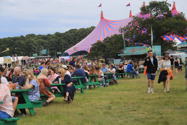
Latitude Festival

Latitude Festival is an annual music and arts festival set within the grounds of Henham Park, near Southwold, Suffolk, England.The first edition of the...
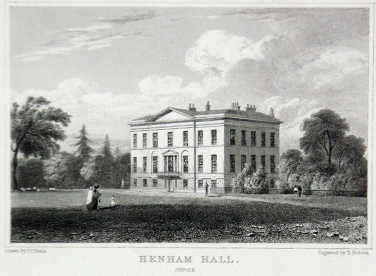
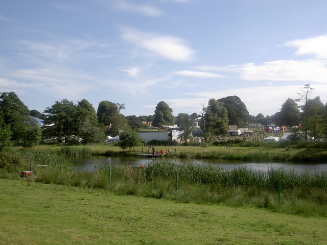
Henham Park

Henham Park is an historic 4,200 acres (1,700 ha) estate in the parish of Wangford with Henham, situated north of the village of Blythburgh in the English...

Nearby Amenities

Located within 500m of 52.344615,1.5937721
Hektor's Brewery
Addr City: Beccles
Addr Housename: The Office
Addr Postcode: NR34 8AN
Addr Street: Henham Park
Craft: brewery
Lat/Long: 52.3486714/1.595384
The data included in this document is from www.openstreetmap.org. The data is made available under ODbL.

Have you been to Peartree Clump?

Leave your review of Peartree Clump below (or comments, questions and feedback).