Burrow Hill

Hill, Mountain in Suffolk East Suffolk

England

Burrow Hill

Gedgrave Road A no through road leading to Gedgrave Hall and a few other houses.
The soil is very sandy round here.
Gedgrave Road Credit: Des Blenkinsopp

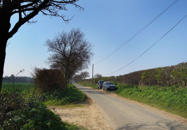
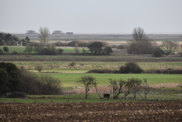
Burrow Hill is a small hill located in the county of Suffolk, England. Situated near the village of Hasketon, it forms part of the undulating landscape of the region. While not particularly tall in comparison to other hills, Burrow Hill offers picturesque views of the surrounding countryside.

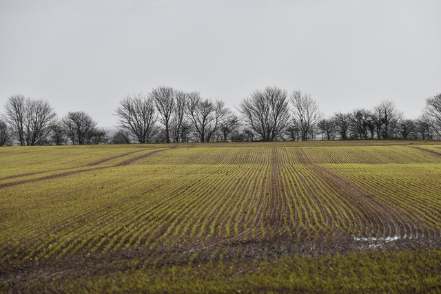
The hill is characterized by its gentle slopes, covered mostly with grass and a few scattered trees dotting the landscape. Its shape is rounded and slightly elongated, with a summit that provides an ideal vantage point for visitors to admire the rural beauty of the area.

Burrow Hill is known for its historical significance, as it is home to an Iron Age hillfort. This ancient fortification, believed to have been constructed around 500 BC, once served as a defensive stronghold for the local community. Although its original purpose remains somewhat speculative, archaeological excavations have revealed evidence of occupation and defensive features such as ditches and ramparts.

Today, Burrow Hill attracts both locals and tourists who appreciate its natural beauty and historical charm. The hill offers opportunities for walking, picnicking, and photography, with well-maintained footpaths leading visitors to the summit. During spring, the hill becomes adorned with wildflowers, further enhancing its visual appeal.

Burrow Hill, Suffolk, stands as a testament to the region's rich history and provides a tranquil escape for those seeking a peaceful retreat amidst nature.

If you have any feedback on the listing, please let us know in the comments section below.
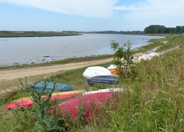
Burrow Hill Images

Images are sourced within 2km of 52.083618/1.4871307 or Grid Reference TM3948. Thanks to Geograph Open Source API. All images are credited.

Gedgrave Road A no through road leading to Gedgrave Hall and a few other houses.
The soil is very sandy round here.
Gedgrave Road
A no through road leading to Gedgrave Hall and a few other houses. The soil is very sandy round here.
Looking to Dovey's, Havergate Island  The following from: <span class="nowrap"><a title="https://www.gov.uk/government/publications/suffolks-national-nature-reserves/suffolks-national-nature-reserves#orfordness-havergate" rel="nofollow ugc noopener" href="https://www.gov.uk/government/publications/suffolks-national-nature-reserves/suffolks-national-nature-reserves#orfordness-havergate">Link</a><img style="margin-left:2px;" alt="External link" title="External link - shift click to open in new window" src="https://s1.geograph.org.uk/img/external.png" width="10" height="10"/></span>

'Orfordness-Havergate NNR lies just south of Aldeburgh on the Suffolk coast. The site is a large shingle spit separated from the mainland by the River Alde. The site is normally closed during the winter but the National Trust will allow access to large (12 people nd over) pre-booked groups in this period.

Visitors to Havergate Island must pre-book with the Royal Society for the Protection of Birds (RSPB) by telephoning 01728 648281.

Visitors to Orfordness should contact the National Trust for opening times by telephoning 01394 450057.'
Looking to Dovey's, Havergate Island
The following from: LinkExternal link 'Orfordness-Havergate NNR lies just south of Aldeburgh on the Suffolk coast. The site is a large shingle spit separated from the mainland by the River Alde. The site is normally closed during the winter but the National Trust will allow access to large (12 people nd over) pre-booked groups in this period. Visitors to Havergate Island must pre-book with the Royal Society for the Protection of Birds (RSPB) by telephoning 01728 648281. Visitors to Orfordness should contact the National Trust for opening times by telephoning 01394 450057.'
On the Suffolk Coast Path - Butley River below Boyton Dock
On the Suffolk Coast Path approaching Butley Ferry on Butley River
On the Suffolk Coast Path - western jetty at Butley Ferry on Butley River
Emerging winter cereal crop near Boyton Hall Farm Looking south-east from the Mill Lane.
Emerging winter cereal crop near Boyton Hall Farm
Looking south-east from the Mill Lane.
Pasture on the floodplain of Butley River Looking west from the lane above Banters Barn Farm, with concrete structures on Orford Ness visible in the background.
Pasture on the floodplain of Butley River
Looking west from the lane above Banters Barn Farm, with concrete structures on Orford Ness visible in the background.
Gates at Banters Barn Farm Looking south-east along the lane that leads to the RSPB reserve on Boyton Marshes.
Gates at Banters Barn Farm
Looking south-east along the lane that leads to the RSPB reserve on Boyton Marshes.
New barns at Banters Barn Farm Looking east, with the confluence of the river Ore and Butley River in the background.
New barns at Banters Barn Farm
Looking east, with the confluence of the river Ore and Butley River in the background.
The Tang valley near Dock Farm
Wet fields above Dock Farm
Brick barns at Home Farm
Home Farm, Capel St. Andrew
Driveway to Butley Priory Butley Priory was built in the early 18th Century around the gateway of Butley Abbey, an 12th Century Augustinian monastery that was dissolved in 1538.
Driveway to Butley Priory
Butley Priory was built in the early 18th Century around the gateway of Butley Abbey, an 12th Century Augustinian monastery that was dissolved in 1538.
Abbey Farm and ruins of the abbey The farm sits on the site of the 12th Century Augustinian monastery. A ruined masonry arch is visible behind the farm cottages.
Abbey Farm and ruins of the abbey
The farm sits on the site of the 12th Century Augustinian monastery. A ruined masonry arch is visible behind the farm cottages.
Coulton Farm, Butley Low Corner
Boats along the Butley River The Butley River or Butley Creek is a tributary of the River Ore in Suffolk. The river is crossed by the Butley Ferry during the summer period, which carries walkers and cyclists using the Suffolk Coast Path.
Boats along the Butley River
The Butley River or Butley Creek is a tributary of the River Ore in Suffolk. The river is crossed by the Butley Ferry during the summer period, which carries walkers and cyclists using the Suffolk Coast Path.
Show me another place!

Burrow Hill is located at Grid Ref: TM3948 (Lat: 52.083618, Lng: 1.4871307)

Administrative County: Suffolk

District: East Suffolk

Police Authority: Suffolk

What 3 Words

///doctor.squad.zinc. Near Rendlesham, Suffolk

Related Wikis

Gedgrave Hall Pit

Gedgrave Hall Pit is a 0.65-hectare (1.6-acre) geological Site of Special Scientific Interest in Gedgrave, south of Saxmundham in Suffolk. It is a Geological...

Gedgrave

Gedgrave is a civil parish in the East Suffolk district, in the English county of Suffolk in eastern England. In 2005, its population was 30. Gedgrave...

Butley Priory

Butley Priory, sometimes called Butley Abbey, was a religious house of Canons regular (Augustinians, Black canons) in Butley, Suffolk, dedicated to The...

Butley River

The Butley River or Butley Creek is a tributary of the River Ore in the English county of Suffolk. The river has its source in the Rendlesham Forest area...

Nearby Amenities

Located within 500m of 52.083618,1.4871307
Source: PGS
Lat/Long: 52.0797775/1.4895564
Source: PGS
Lat/Long: 52.081622/1.4906507
Source: PGS
Lat/Long: 52.0820093/1.4912032
Source: PGS
Lat/Long: 52.0823431/1.4916979
Source: PGS
Lat/Long: 52.0827181/1.4924102
Source: PGS
Lat/Long: 52.0830123/1.4930446
Source: PGS
Lat/Long: 52.0832535/1.4933067
Source: PGS
Lat/Long: 52.0837351/1.4942931
Source: PGS
Lat/Long: 52.0821825/1.4939311
Source: PGS
Lat/Long: 52.0819006/1.4933115
Source: PGS
Lat/Long: 52.0812576/1.4921093
Source: PGS
Lat/Long: 52.0806874/1.4914446
Burrow Hill
Place: locality
Lat/Long: 52.083495/1.4869263
Building: yes
Lat/Long: 52.0804854/1.4893964
Ferry Terminal
Lat/Long: 52.0803709/1.4908825
Butley Ferry
Board Type: public_transport
Information: board
Operator: Butley Ferry
Tourism: information
Lat/Long: 52.0804751/1.4893722
Ferry Terminal
Ferry: yes
Public Transport: station
Lat/Long: 52.0802933/1.4900893
Parking
Access: private
Lat/Long: 52.081674/1.4830886
Power: pole
Lat/Long: 52.085697/1.4815986
Power: pole
Lat/Long: 52.0848399/1.4824676
Power: pole
Lat/Long: 52.0816324/1.4812714
Power: pole
Lat/Long: 52.0854102/1.4894709
Power: pole
Lat/Long: 52.0852256/1.48839
Power: pole
Lat/Long: 52.0848102/1.4862308
Power: pole
Lat/Long: 52.0850179/1.4873117
Power: pole
Lat/Long: 52.0842729/1.484262
Power: pole
Lat/Long: 52.0846075/1.4851445
Power: pole
Lat/Long: 52.0839416/1.4833823
Power: pole
Lat/Long: 52.0839696/1.4833152
Power: pole
Lat/Long: 52.0833516/1.4828512
Power: pole
Lat/Long: 52.0827747/1.4823228
Power: pole
Lat/Long: 52.0822192/1.4817917
The data included in this document is from www.openstreetmap.org. The data is made available under ODbL.

Have you been to Burrow Hill?

Leave your review of Burrow Hill below (or comments, questions and feedback).